 |
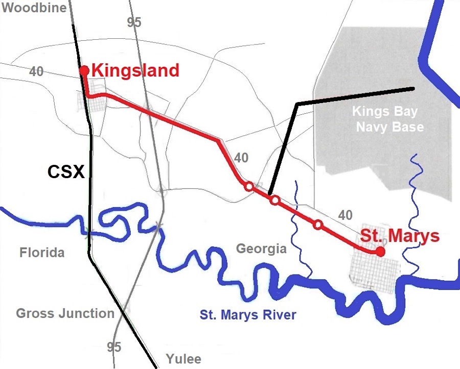
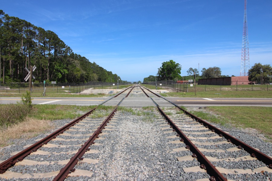
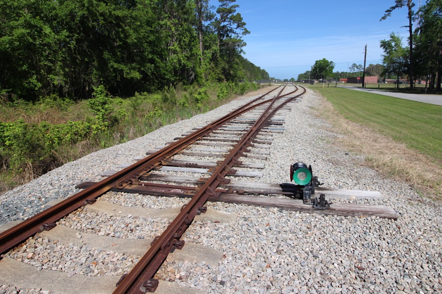
St. Marys Railroad Locations |
St. Marys, Ga / Apr 2025 / RWH
Wikipedia
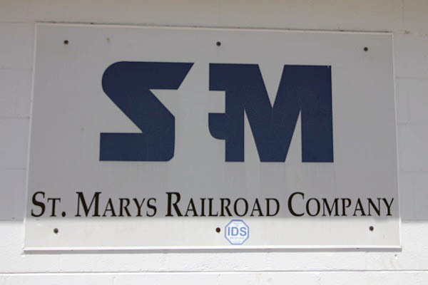
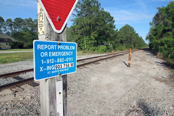
 1St. Marys
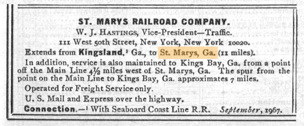
1967 Official Guide ad / collection
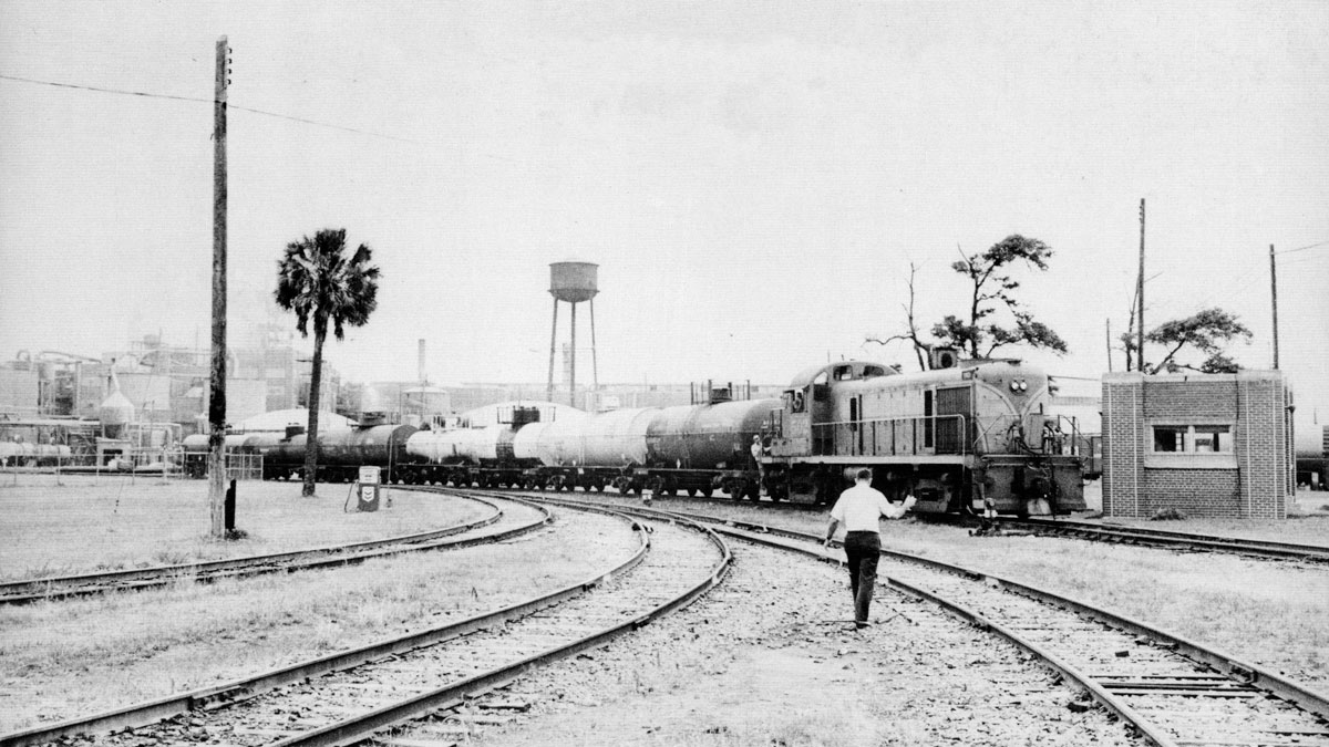
from American Short Line Railway Guide
by Ed Lewis - 1975 / collection

 Previously known as Buttermilk bluff, the plans to establish a city were conceived as early as June 1767 by a Colonial Council who decided this land, confiscated from Jermyn & Charles Wright (two brothers of royal governor James Wright), would be a great spot for a city. Their royal sympathies resulted in their banishment after the Revolutionary War. The city of St. Marys was then established in 1787 when the state of Georgia granted the Wright brothers land to Jacob Weed. In addition to Weed, 19 other men bought 4 blocks each, or squares of land (each block was 4 acres), at a cost of $38.00. The only requirement was that they build a wooden structure on their property. The Articles of Agreement were signed on Cumberland Island on November 20, 1787.
On December 5, 1792, St. Marys was officially established as a town by an act of the Legislature of the State of Georgia. Although St. Marys was established in 1792, the legislative act incorporating the town was not passed until November 1802. All the streets in the Historic District are named for those 20 founders
Previously known as Buttermilk bluff, the plans to establish a city were conceived as early as June 1767 by a Colonial Council who decided this land, confiscated from Jermyn & Charles Wright (two brothers of royal governor James Wright), would be a great spot for a city. Their royal sympathies resulted in their banishment after the Revolutionary War. The city of St. Marys was then established in 1787 when the state of Georgia granted the Wright brothers land to Jacob Weed. In addition to Weed, 19 other men bought 4 blocks each, or squares of land (each block was 4 acres), at a cost of $38.00. The only requirement was that they build a wooden structure on their property. The Articles of Agreement were signed on Cumberland Island on November 20, 1787.
On December 5, 1792, St. Marys was officially established as a town by an act of the Legislature of the State of Georgia. Although St. Marys was established in 1792, the legislative act incorporating the town was not passed until November 1802. All the streets in the Historic District are named for those 20 founders
St. Marys, Ga / Apr 2025 / RWH

Click to see the St. Mary's shortline facility plotted on a Google Maps page

St. Marys, Ga / Apr 2025 / RWH
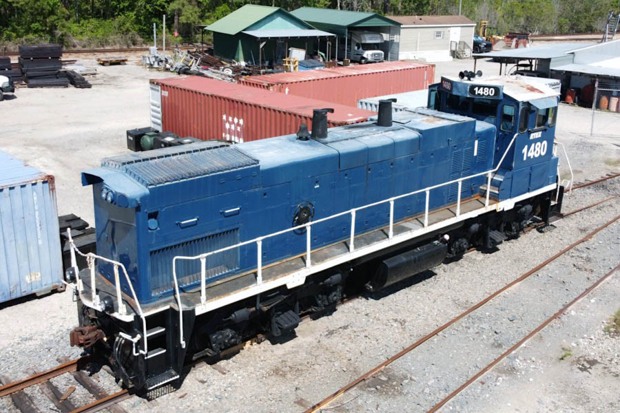
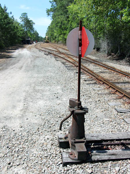
St. Marys, Ga / Apr 2025 / RWH
St. Marys, Ga / Apr 2025 / RWH
St. Marys, Ga / Apr 2025 / RWH
Apr 2025 / RWH
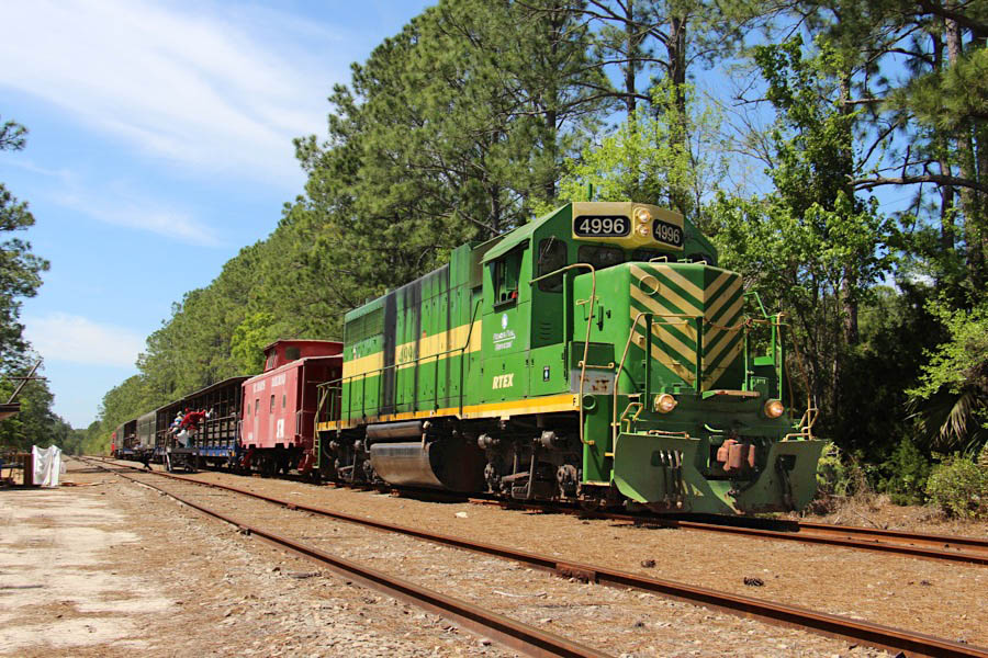
St. Marys, Ga / Apr 2025 / RWH
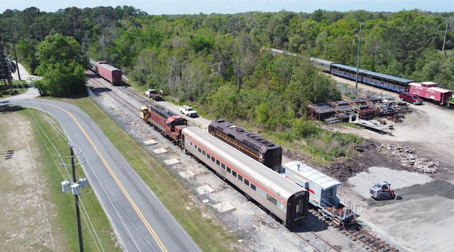
St. Marys, Ga / Apr 2025 / RWH
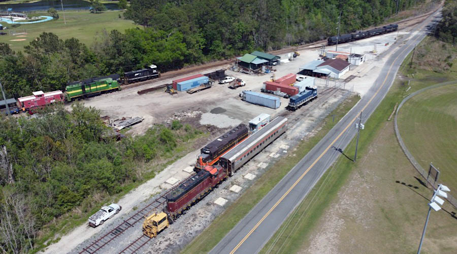
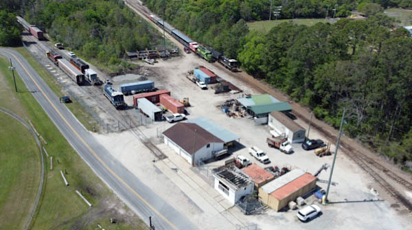
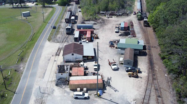
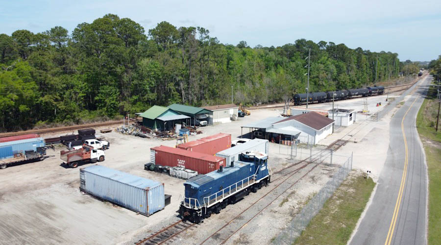
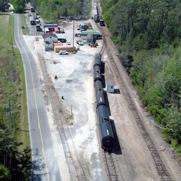
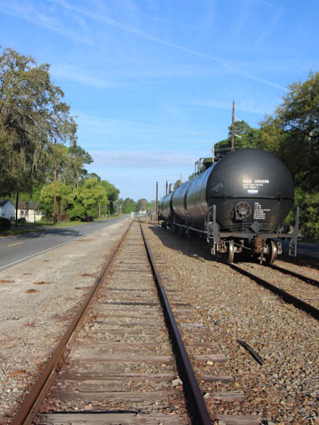
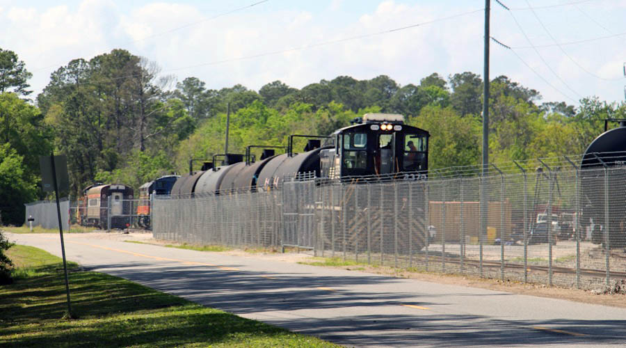
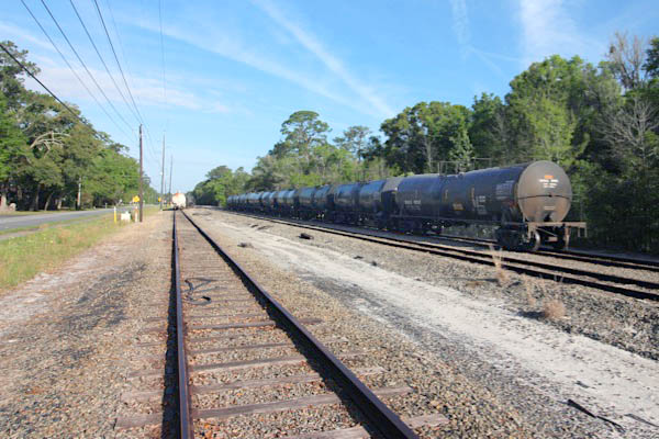
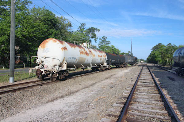
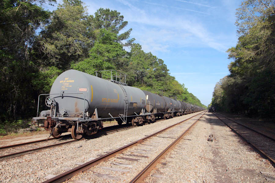
 Shipper Spotlight: Transload facility
St. Marys, Ga / Apr 2025 / RWH
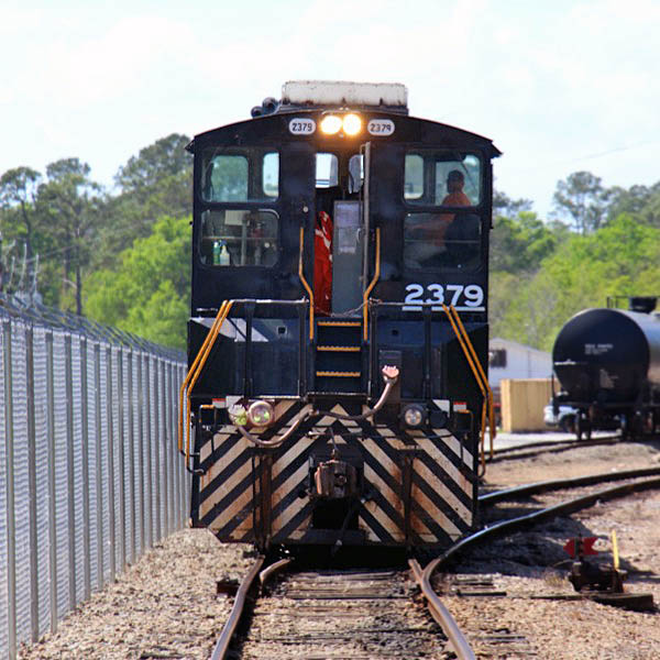
St. Marys, Ga / Apr 2025 / RWH
St. Marys, Ga / Apr 2025 / RWH
Apr 2025 / RWH
Apr 2025 / RWH
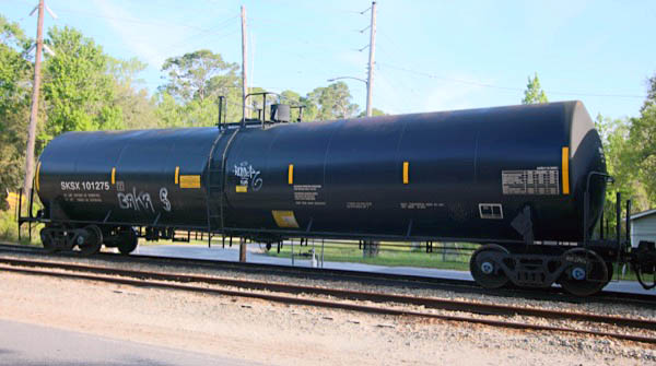
Safety-Kleen Systems #101275
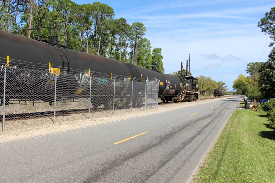
St. Marys, Ga / Apr 2025 / RWH
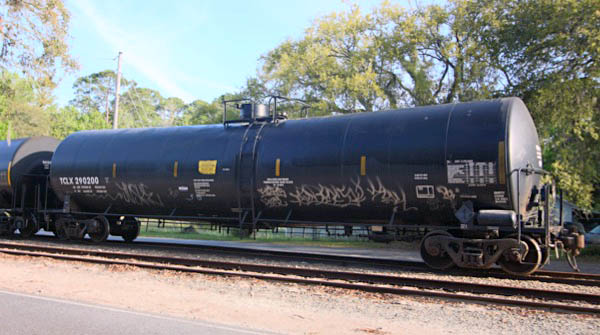
Trinity Chemical Leasing #290200
St. Marys, Ga / Apr 2025 / RWH
St. Marys, Ga / Apr 2025 / RWH
3Borrell Boulevard
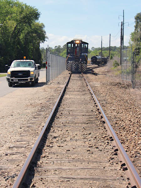
St. Marys, Ga / Apr 2025 / RWH
St. Marys, Ga / Apr 2025 / RWH
Click to see Borrell Boulevard plotted on a Google Maps page
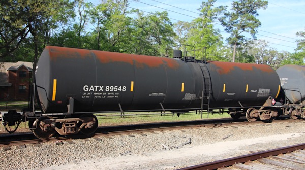
General American Tank Line #89548
St. Marys, Ga / Apr 2025 / RWH
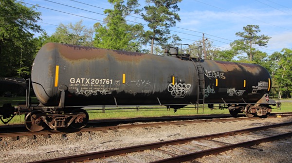
General American Tank Line #201761
St. Marys, Ga / Apr 2025 / RWH
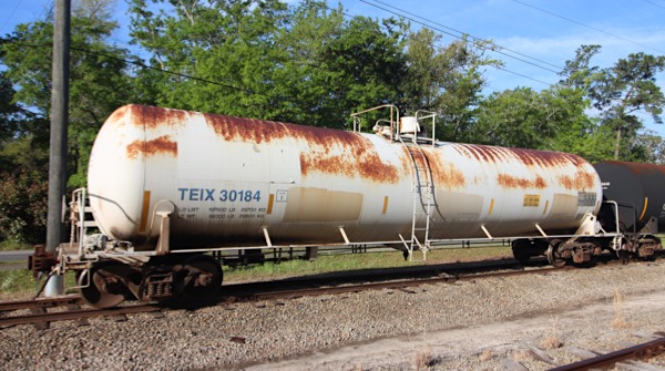
Transportation Equipment Inc #30184
St. Marys, Ga / Apr 2025 / RWH
St. Marys, Ga / Apr 2025 / RWH
Apr 2025 / RWH
St. Marys, Ga / Apr 2025 / RWH
St. Marys, Ga / Apr 2025 / RWH
St. Marys, Ga / Apr 2025 / RWH
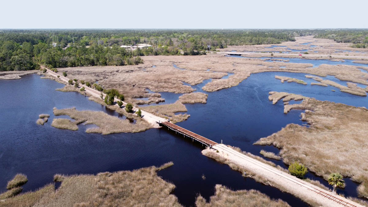
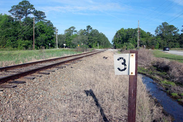
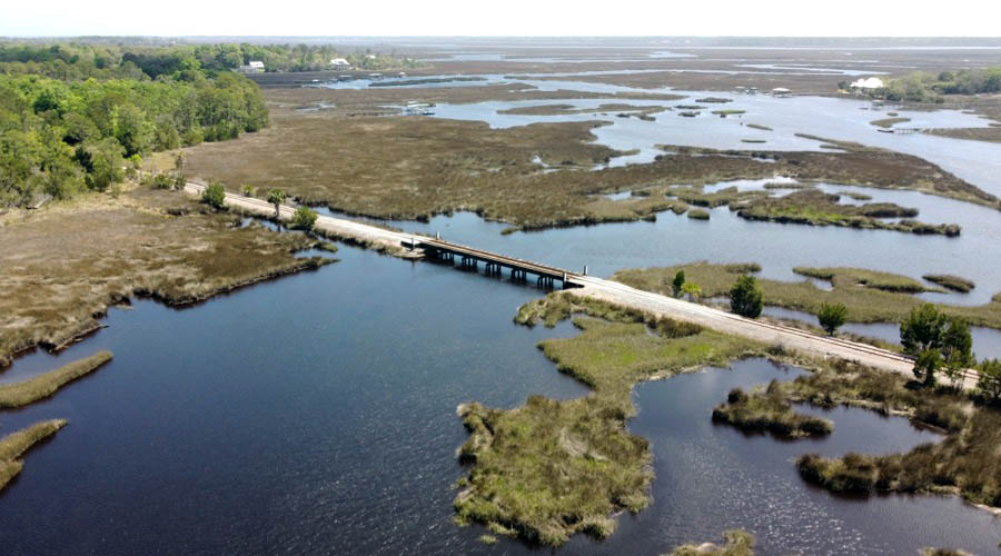
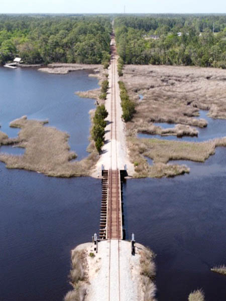
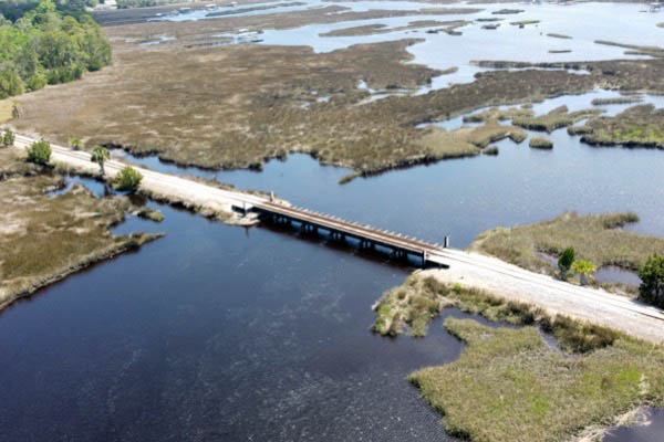
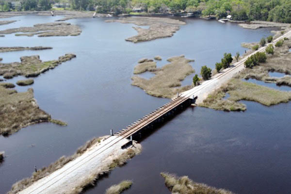
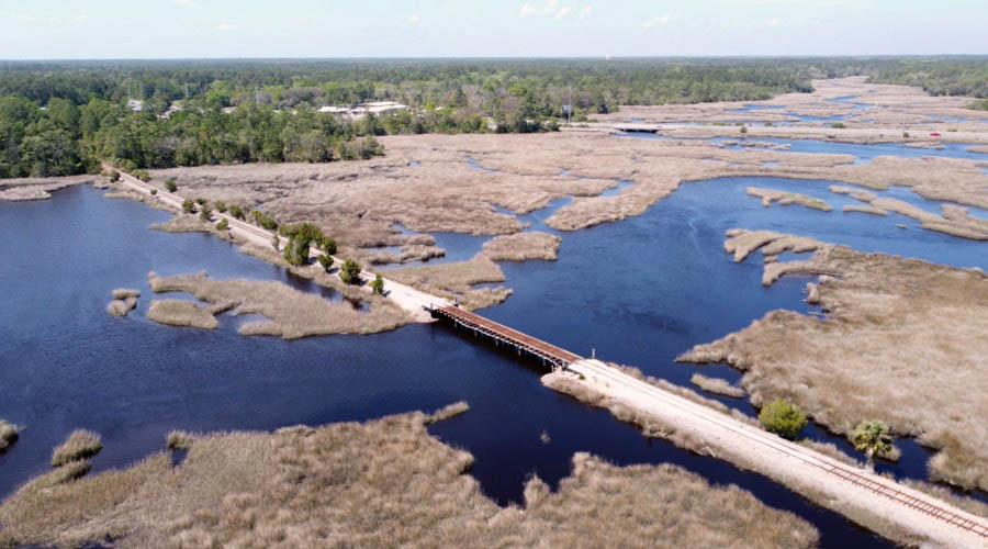
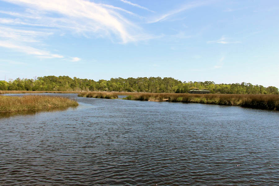
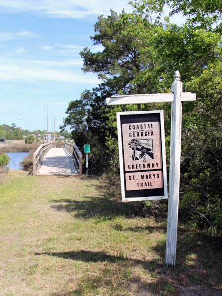
3St. Marys River
St. Marys, Ga / Apr 2025 / RWH
Click to see the St. Marys River bridge area plotted on a Google Maps page
St. Marys, Ga / Apr 2025 / RWH
Apr 2025 / RWH
St. Marys, Ga / Apr 2025 / RWH
St. Marys, Ga / Apr 2025 / RWH
St. Marys, Ga / Apr 2025 / RWH
St. Marys, Ga / Apr 2025 / RWH
Apr 2025 / RWH
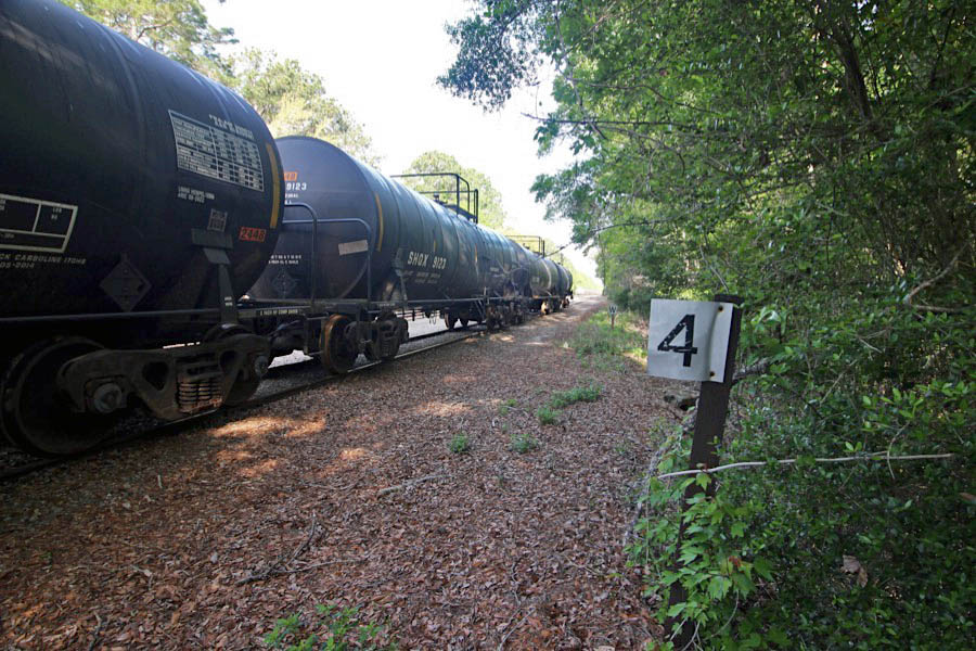
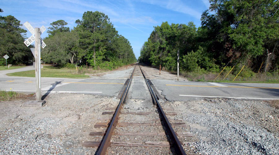
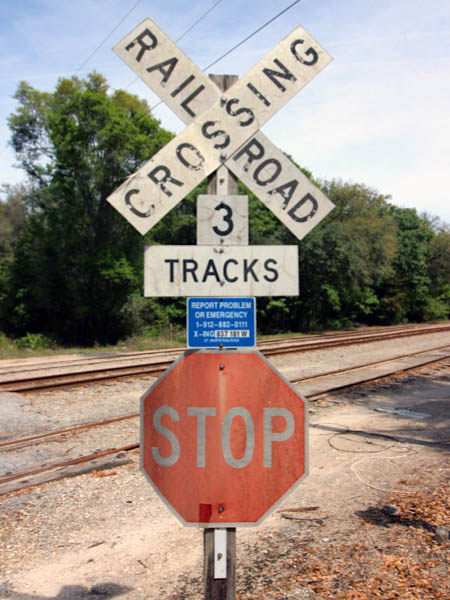
4Hubbard Road
Apr 2025 / RWH
St. Marys, Ga / Apr 2025 / RWH
Click to see the Hubbard Road crossing area plotted on a Google Maps page
St. Marys, Ga / Apr 2025 / RWH
St. Marys, Ga / Apr 2025 / RWH
Apr 2025 / RWH
St. Marys, Ga / Apr 2025 / RWH
St. Marys, Ga / Apr 2025 / RWH

Apr 2025 / RWH
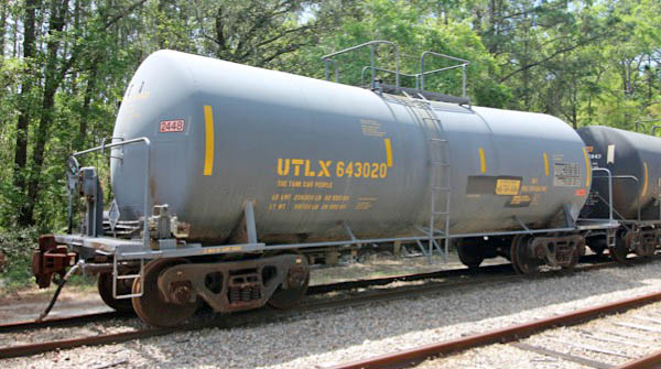
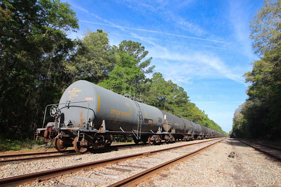
Union Tank Car Co #643020
St. Marys, Ga / Apr 2025 / RWH
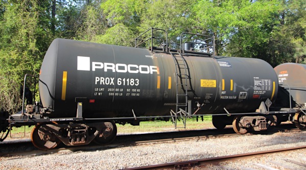
Procor Limited #61183
St. Marys, Ga / Apr 2025 / RWH
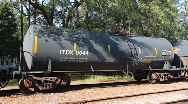
Sulcom Inc #5044
St. Marys, Ga / Apr 2025 / RWH
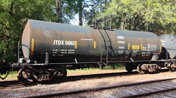
Sulcom Inc #5062
St. Marys, Ga / Apr 2025 / RWH
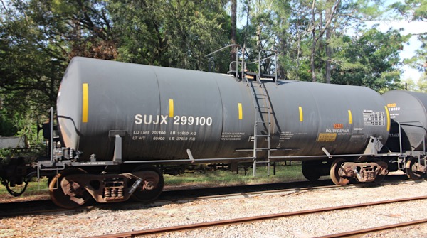
Sulcom Inc #299100
St. Marys, Ga / Apr 2025 / RWH
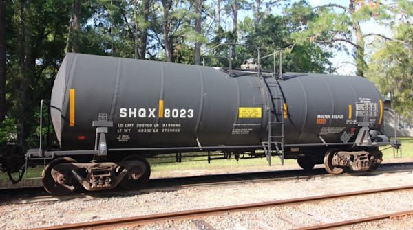
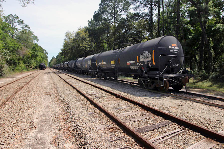
American Railcar Industries #8023
St. Marys, Ga / Apr 2025 / RWH
St. Marys, Ga / Apr 2025 / RWH
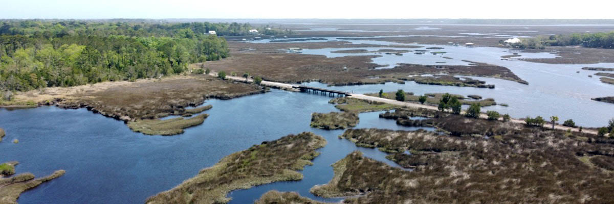
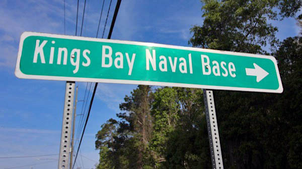
 Submarine Base
As a part of the Department of Defense Strategic Rail Corridor Network (STRACNET), the St. Marys Railroad provides rail support to the Ohio class submarines stationed at Kings Bay.
Apr 2025 / RWH
Kings Bay Base, Ga / Apr 2025 / RWH
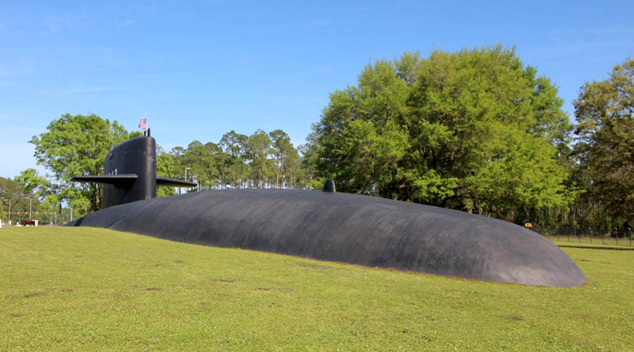
 Naval Submarine Base Kings Bay is a base of the United States Navy located adjacent to the city of St. Marys in Camden County, Georgia, on the East River in southeastern Georgia, and 38 miles from Jacksonville, Florida. The Submarine Base is the U.S. Atlantic Fleet's home port for U.S. Navy Fleet ballistic missile nuclear submarines capable of being armed with Trident missile nuclear weapons. This submarine base covers about 16,000 acres of land, of which 4,000 acres are protected wetlands.
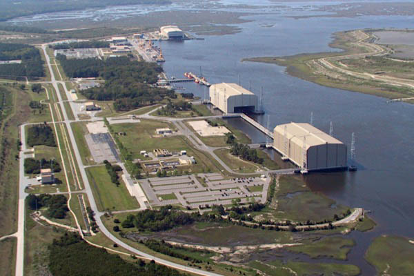
The US Army began to acquire 7,000 acres of land at Kings Bay in 1954 to build a military ocean terminal to ship ammunition in case of a national emergency. Construction began in 1955 and was completed in 1958. A 200-foot-wide channel was dredged to Cumberland Sound, and included two turning basins. The most prominent feature of the terminal was its 2,000-foot-long, 87-foot-wide concrete-and-steel wharf. It had three parallel railroad tracks, enabling the simultaneous loading of several ammunition ships from rail cars and trucks. Elsewhere on the base, the Army laid 47 miles of railroad tracks. Spurs off the main line ran into temporary storage areas protected by earthen barricades.
 In May 1979, the U.S. Navy selected Kings Bay as its preferred East Coast site for the new Ohio-class Trident submarines. On 23 October 1980, after a one-year environmental impact study was completed, and with Congressional approval, the Secretary of the Navy announced that Kings Bay would be the future home port for the new Trident-missile submarines in the Atlantic Ocean.
The decision to base the Trident submarines at Kings Bay started the largest peacetime construction program ever undertaken by the U.S. Navy. The program took nine years to complete at a cost of about $1.3 billion.
In May 1979, the U.S. Navy selected Kings Bay as its preferred East Coast site for the new Ohio-class Trident submarines. On 23 October 1980, after a one-year environmental impact study was completed, and with Congressional approval, the Secretary of the Navy announced that Kings Bay would be the future home port for the new Trident-missile submarines in the Atlantic Ocean.
The decision to base the Trident submarines at Kings Bay started the largest peacetime construction program ever undertaken by the U.S. Navy. The program took nine years to complete at a cost of about $1.3 billion.
Kings Bay Base, Ga / Apr 2025 / RWH
Click to see the Charlie Smith Highway crossing plotted on a Google Maps page
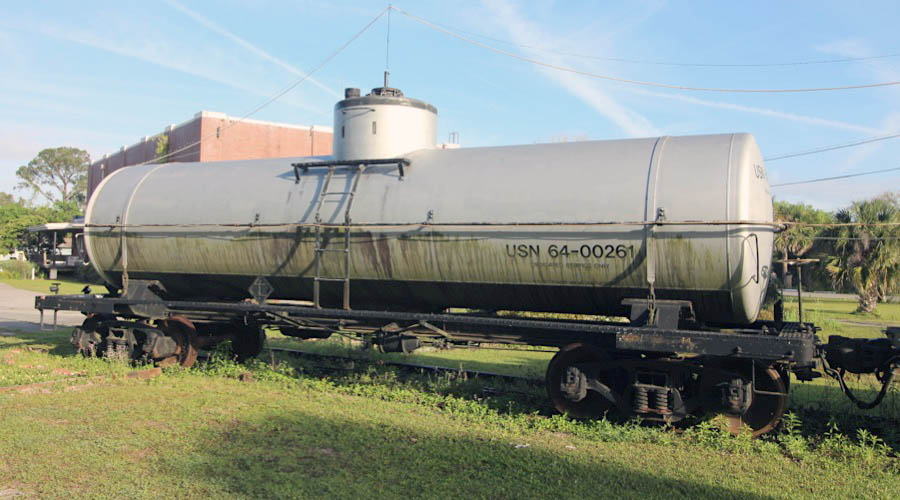
United States Navy #64-00261
St. Marys, Ga / Apr 2025 / RWH

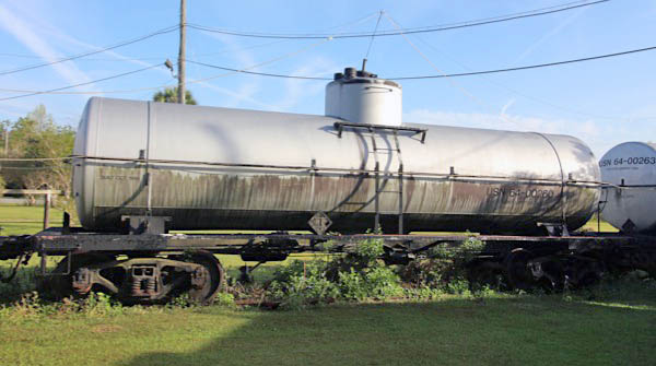
United States Navy #64-00260
St. Marys, Ga / Apr 2025 / RWH
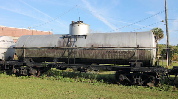
United States Navy #64-00262
St. Marys, Ga / Apr 2025 / RWH
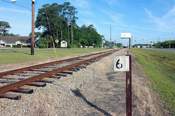
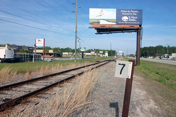
5Scotchville
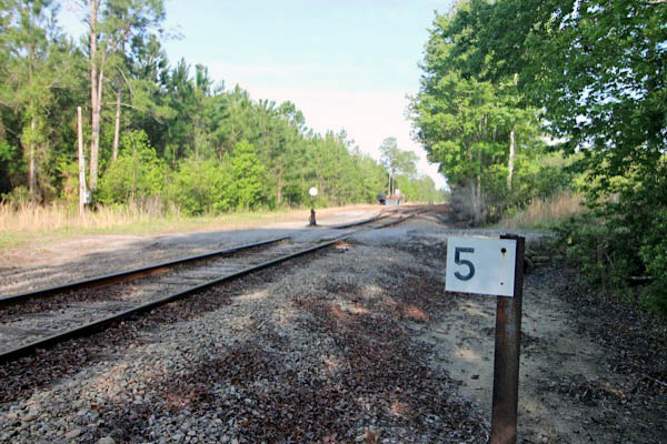
Scotchville, Ga / Apr 2025 / RWH
Click to see this location plotted on a Google Maps page
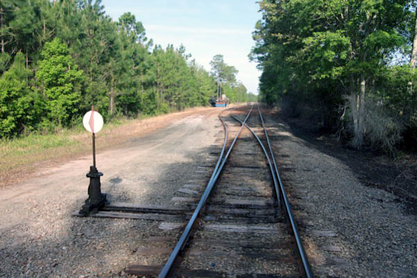
Apr 2025 / RWH
Scotchville, Ga / Apr 2025 / RWH
40
 Route 40
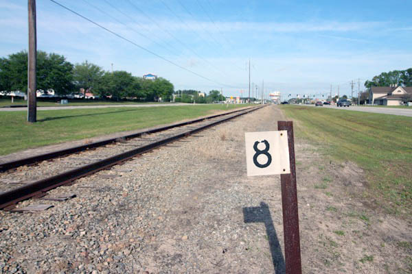
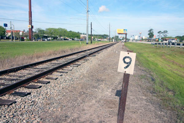
Kingsland, Ga / Apr 2025 / RWH
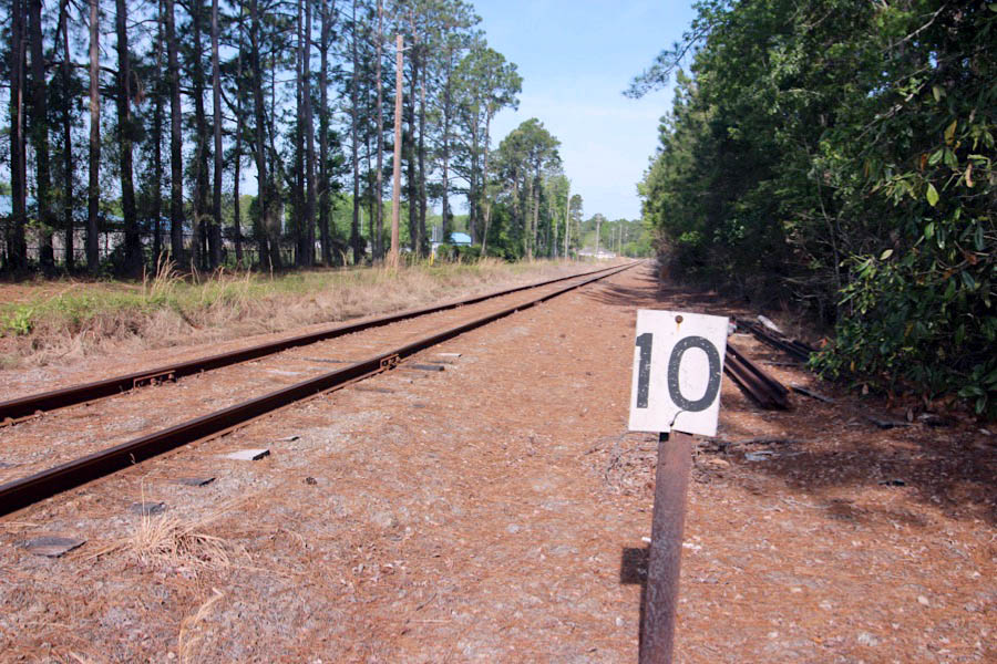
Kingsland, Ga / Apr 2025 / RWH
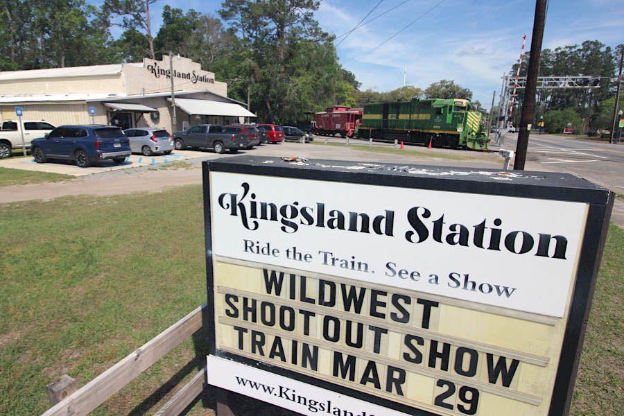
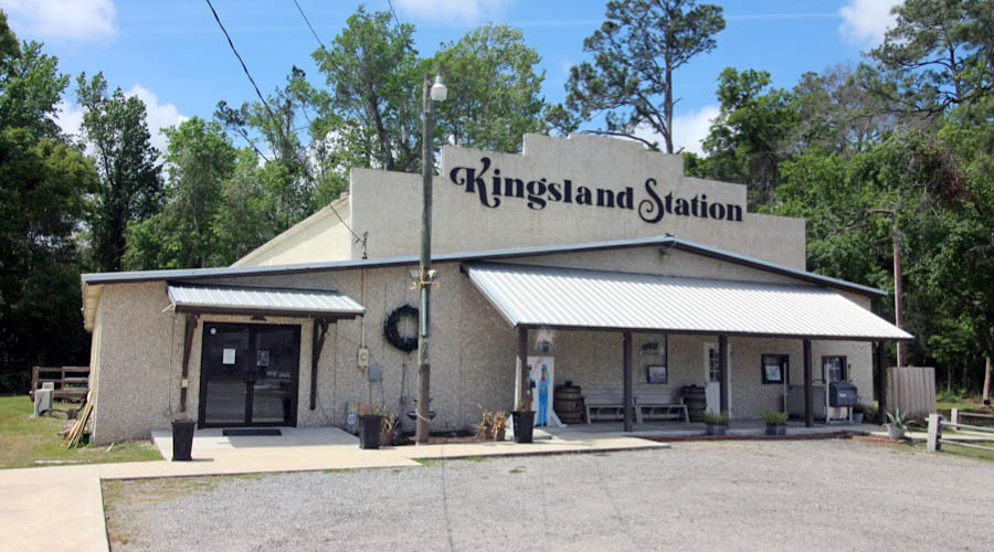
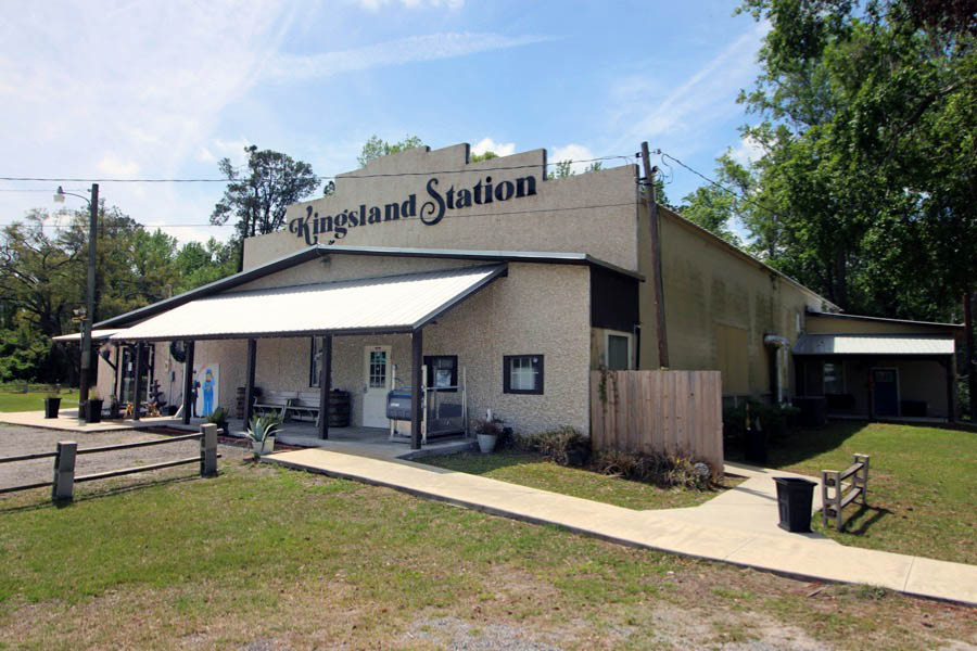
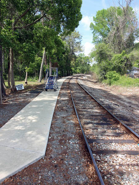
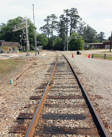
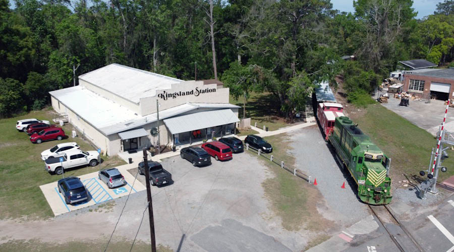
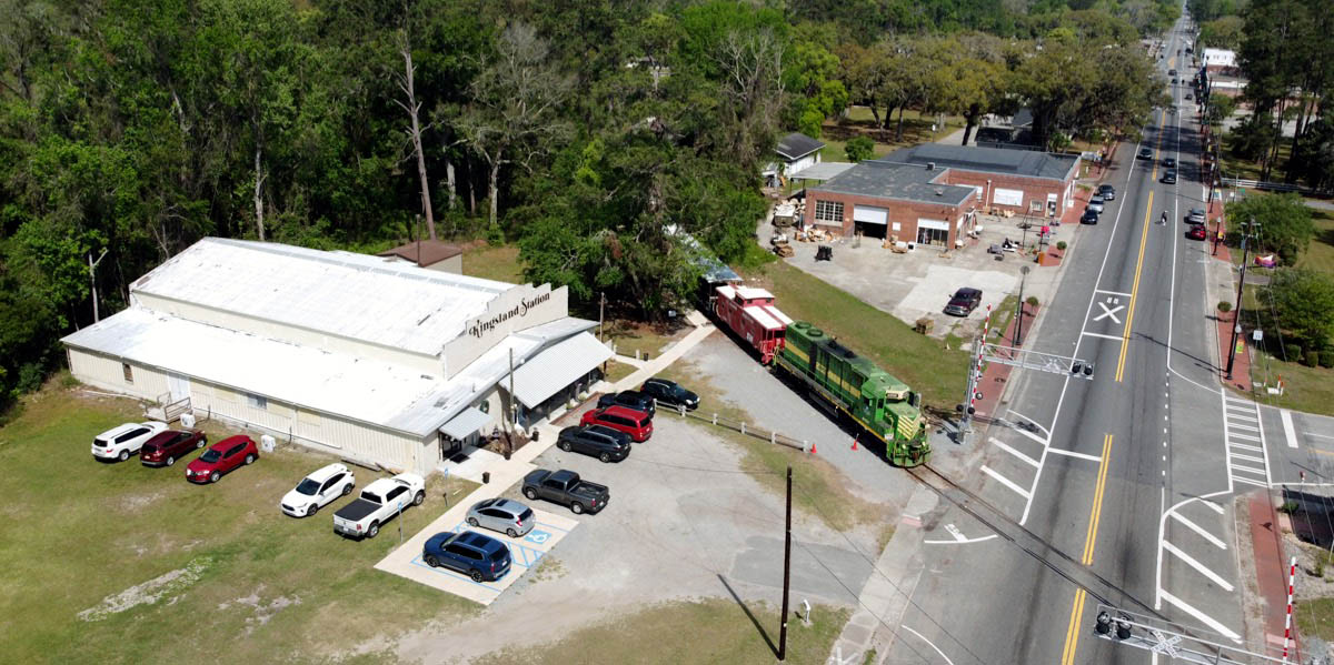
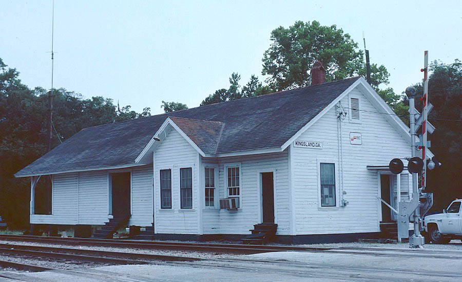
10Kingsland
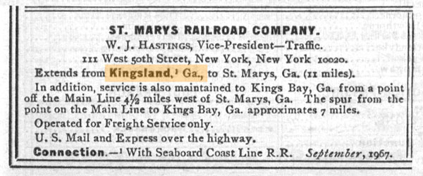
1968 Official Guide ad / collection
 If you are a visitor to our city, we hope that you take time to explore our town and take note of the natural beauty, improved downtown district and the many restaurants, retail businesses and hotels we have to offer. As you enter our town from Interstate 95, it is easy to see that we are brimming with economic excitement. Kings Bay Naval Base is located nearby and we serve as the proud home to many of the amazing men and women that serve there. To our east you can find easy access to the gem that is Cumberland Island and to our west we have the preserved beauty of the Okefenokee National Wildlife Refuge within easy reach by a short drive.
Kingsland, Ga / Apr 2025 / RWH
Kingsland, Ga / Apr 2025 / RWH
Click to see the Kingsland Station plotted on a Google Maps page
Kingsland, Ga / Apr 2025 / RWH
Apr 2025 / RWH
Apr 2025 / RWH
Kingsland, Ga / Apr 2025 / RWH
Kingsland, Ga / Apr 2025 / RWH

See also our complete Georgia Coastal Railway scrapbook in Preservation
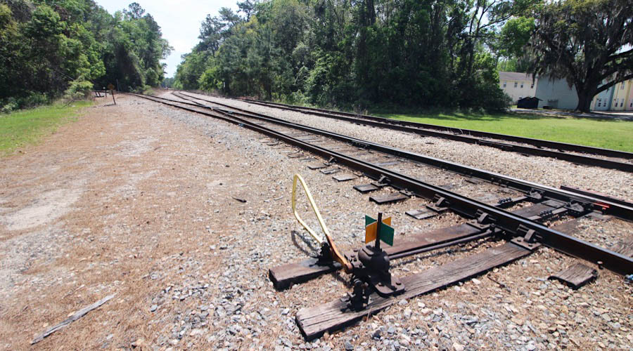
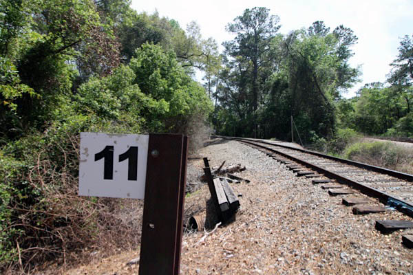
11Mainline
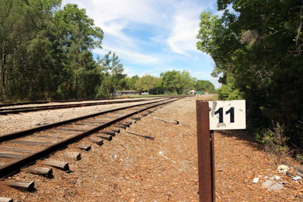
Kingsland, Ga / Apr 2025 / RWH
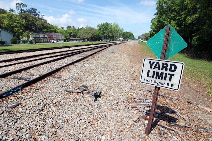
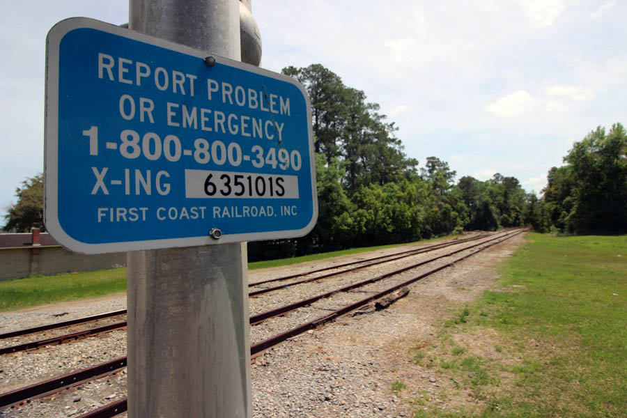
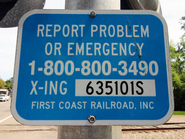
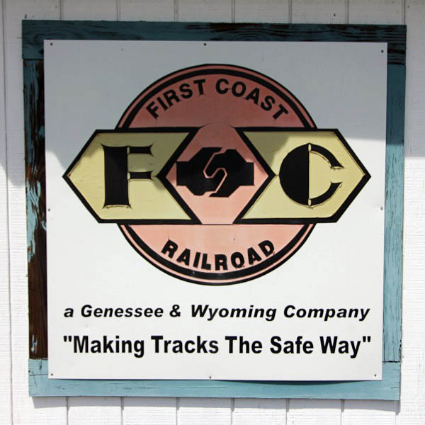
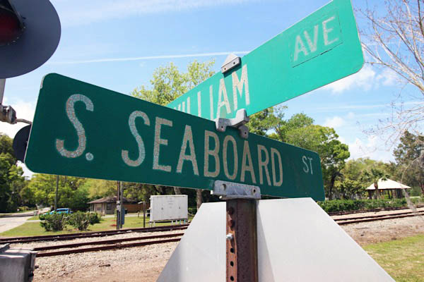
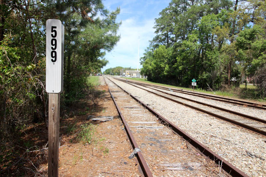
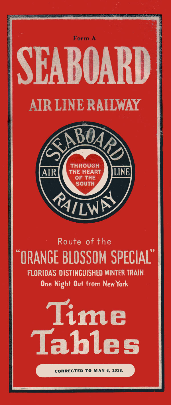
 At Kingsland, the St. Marys Railroad of old connected to the Seaboard Air Line Railroad mainline between Jacksonville and Savannah — milepost 602. The wooden SAL depot stills stands in town. This line persisted through the Seaboard Coast Line and Seaboard System mergers, and certain portions survived under CSX Transportation. The segment from Seals, Georgia, south to Yulee, Florida, including Kingsland, survives as the First Coast Railroad, a Genesee & Wyoming shortline. The official interchange point between First Coast and St. Marys is listed as Kingsland, but in recent practice the St. Marys operates south over the FCRD to their yard at Yulee. This SM-FCRD handoff represents a not-too-common shortline to shortline interchange.
1948 Official Guide ad / collection
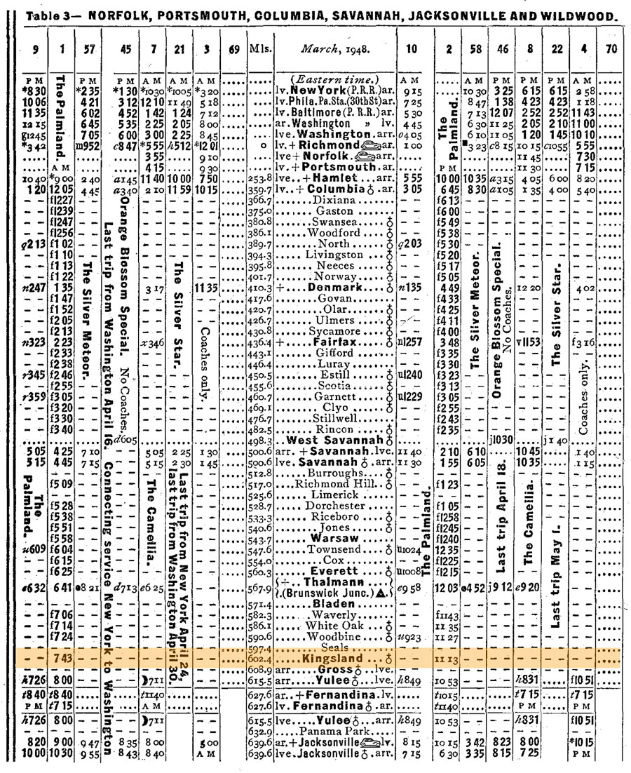
1948 Official Guide ad / collection
Kingsland, Ga / Jun 1986 / Jim Owens 
Kingsland, Ga / Apr 2025 / RWH
Kingsland, Ga / Apr 2025 / RWH
Kingsland, Ga / Apr 2025 / RWH
Click to see this location plotted on a Google Maps page
Kingsland, Ga / Apr 2025 / RWH
Kingsland, Ga / Apr 2025 / RWH
Kingsland, Ga / Apr 2025 / RWH
Apr 2025 / RWH
Kingsland, Ga / Apr 2025 / RWH
Apr 2025 / RWH
Apr 2025 / RWH
Apr 2025 / RWH
Kingsland, Ga / Apr 2025 / RWH
See also our complete First Coast Railroad scrapbook in Shortlines
This page was updated on 2025-04-09
© 2007-2026 Ralph Hawkins / HawkinsRails.net
Kingsland, Ga / Apr 2025 / RWH
Kingsland, Ga / Apr 2025 / RWH
1968 Official Guide ad / collection
If you are a visitor to our city, we hope that you take time to explore our town and take note of the natural beauty, improved downtown district and the many restaurants, retail businesses and hotels we have to offer. As you enter our town from Interstate 95, it is easy to see that we are brimming with economic excitement. Kings Bay Naval Base is located nearby and we serve as the proud home to many of the amazing men and women that serve there. To our east you can find easy access to the gem that is Cumberland Island and to our west we have the preserved beauty of the Okefenokee National Wildlife Refuge within easy reach by a short drive.
Kingsland, Ga / Apr 2025 / RWH
Kingsland, Ga / Apr 2025 / RWH
Click to see the Kingsland Station plotted on a Google Maps page
Kingsland, Ga / Apr 2025 / RWH
Apr 2025 / RWH
Apr 2025 / RWH
Kingsland, Ga / Apr 2025 / RWH
Kingsland, Ga / Apr 2025 / RWH
See also our complete Georgia Coastal Railway scrapbook in Preservation
Kingsland, Ga / Apr 2025 / RWH
![]() At Kingsland, the St. Marys Railroad of old connected to the Seaboard Air Line Railroad mainline between Jacksonville and Savannah — milepost 602. The wooden SAL depot stills stands in town. This line persisted through the Seaboard Coast Line and Seaboard System mergers, and certain portions survived under CSX Transportation. The segment from Seals, Georgia, south to Yulee, Florida, including Kingsland, survives as the First Coast Railroad, a Genesee & Wyoming shortline. The official interchange point between First Coast and St. Marys is listed as Kingsland, but in recent practice the St. Marys operates south over the FCRD to their yard at Yulee. This SM-FCRD handoff represents a not-too-common shortline to shortline interchange.
At Kingsland, the St. Marys Railroad of old connected to the Seaboard Air Line Railroad mainline between Jacksonville and Savannah — milepost 602. The wooden SAL depot stills stands in town. This line persisted through the Seaboard Coast Line and Seaboard System mergers, and certain portions survived under CSX Transportation. The segment from Seals, Georgia, south to Yulee, Florida, including Kingsland, survives as the First Coast Railroad, a Genesee & Wyoming shortline. The official interchange point between First Coast and St. Marys is listed as Kingsland, but in recent practice the St. Marys operates south over the FCRD to their yard at Yulee. This SM-FCRD handoff represents a not-too-common shortline to shortline interchange.
1948 Official Guide ad / collection
1948 Official Guide ad / collection
Kingsland, Ga / Jun 1986 / Jim Owens
Kingsland, Ga / Apr 2025 / RWH
Kingsland, Ga / Apr 2025 / RWH
Kingsland, Ga / Apr 2025 / RWH
Click to see this location plotted on a Google Maps page
Kingsland, Ga / Apr 2025 / RWH
Kingsland, Ga / Apr 2025 / RWH
Kingsland, Ga / Apr 2025 / RWH
Apr 2025 / RWH
Kingsland, Ga / Apr 2025 / RWH
Apr 2025 / RWH
Apr 2025 / RWH
Apr 2025 / RWH
Kingsland, Ga / Apr 2025 / RWH
See also our complete First Coast Railroad scrapbook in Shortlines