 |
Columbus & Greenville Railway Western Towns |

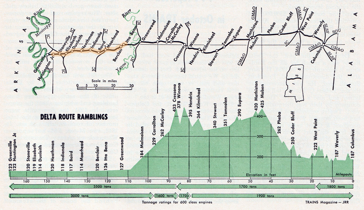
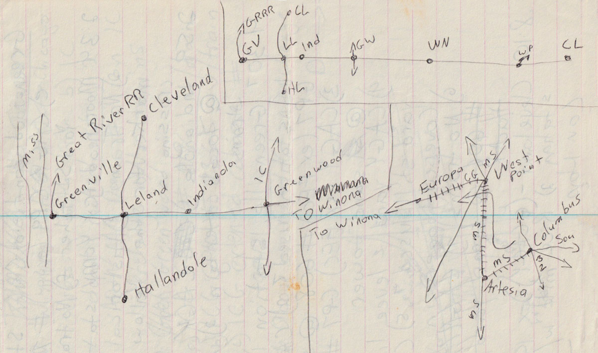
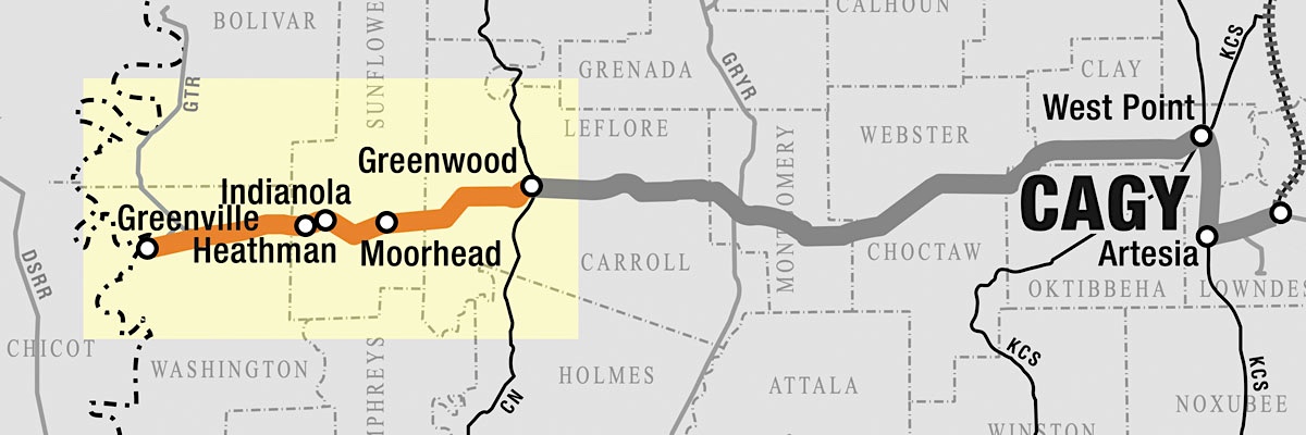
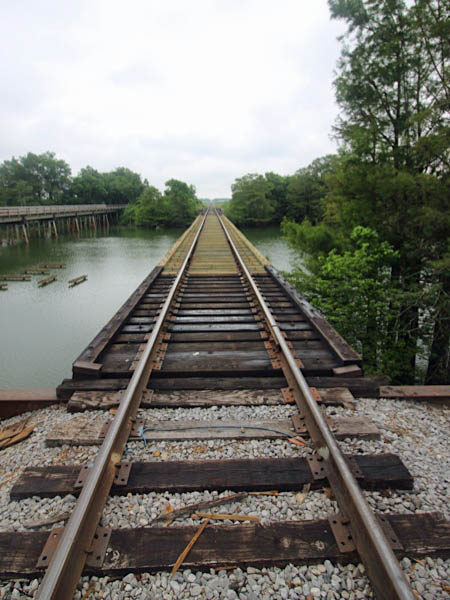
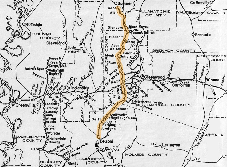
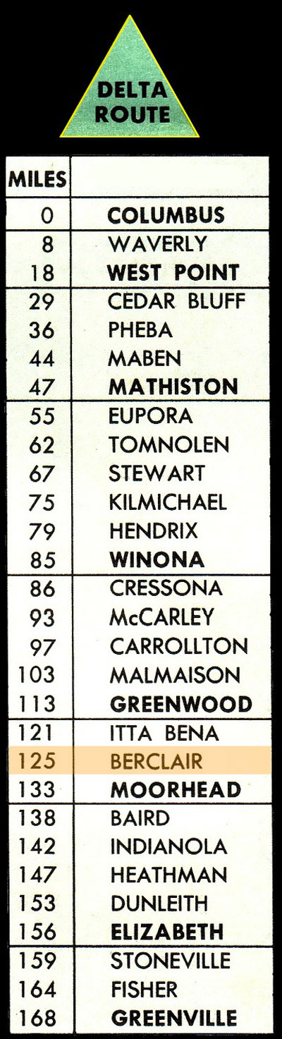
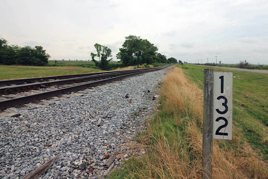
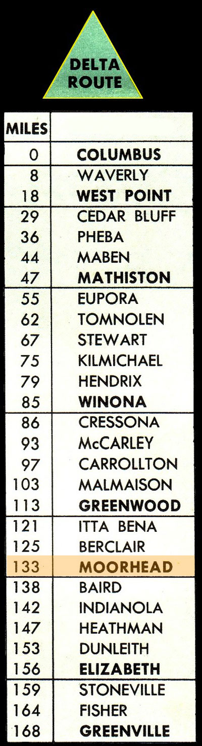
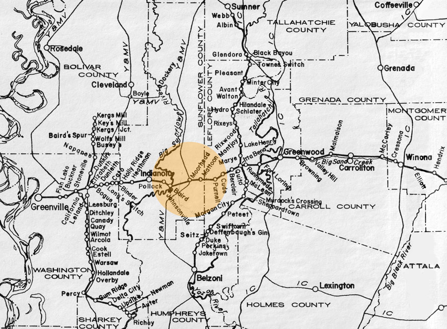
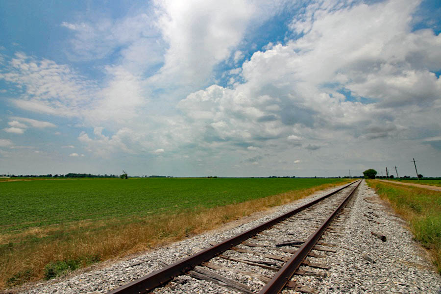
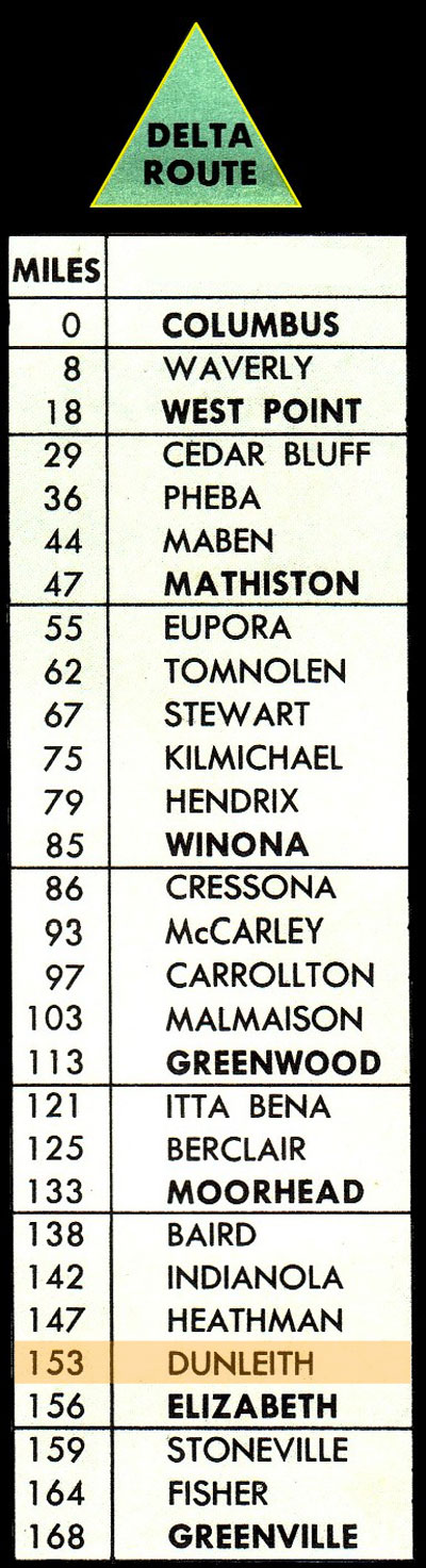
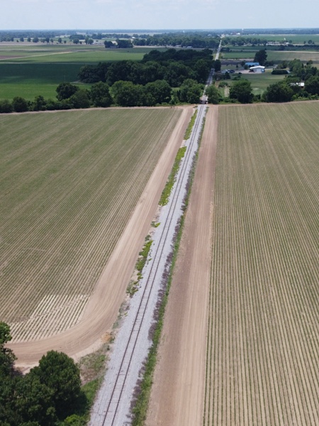
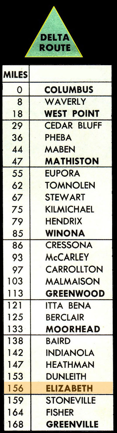
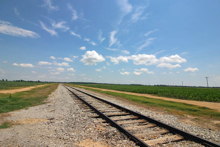
 The northwestern region of the state of Mississippi, from which the Columbus & Greenville would take its nickname as the "Delta Route," made for flat and straight running of trains. After Greenwood, trains to and from Greenville on the Mississippi River would rise and fall in their journeys less than 10 vertical feet in 150 miles. The railroad in this region traversed the Delta at a west-southwest angle, as Greenville is latitudinally lower than Columbus on the other side of the state. But despite the featureless elevations of this part of the railroad, the shortline still had to cross several large rivers and numerous streams — including the Yazoo and Big Sunflower rivers. All of the western trackage after Greenwood was original Southern Railway in Mississippi construction, except for the segment from Indianola to Greenville: original tangent of the modest Greenville, Columbus & Birmingham narrow gauge line.
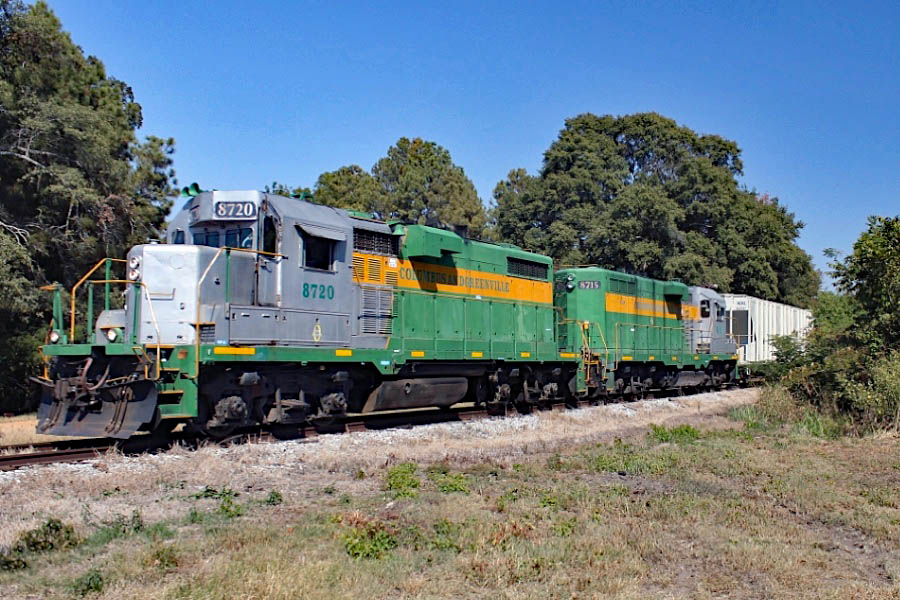
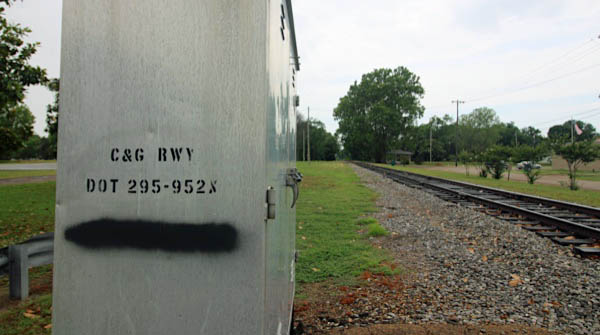
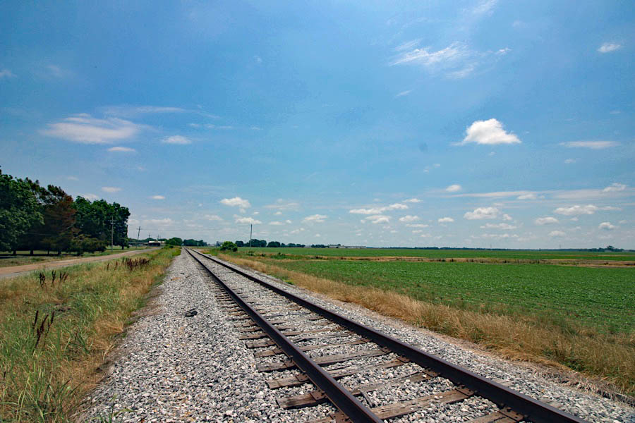
Today, in the Genesee & Wyoming holding company era, this western segment is the only operating portion of the original Columbus & Greenville mainline. All traffic is interchanged with the Canadian National (ex Illinois Central) at Greenwood. The major customers in the region are several large fish feed distributors, as well as a handful of smaller online shippers. Port traffic in Greenville has decreased significantly in recent years. As of 2020, there are plans to rehabilite the Great River Railroad; this would provide some interchange traffic again at Metcalfe.
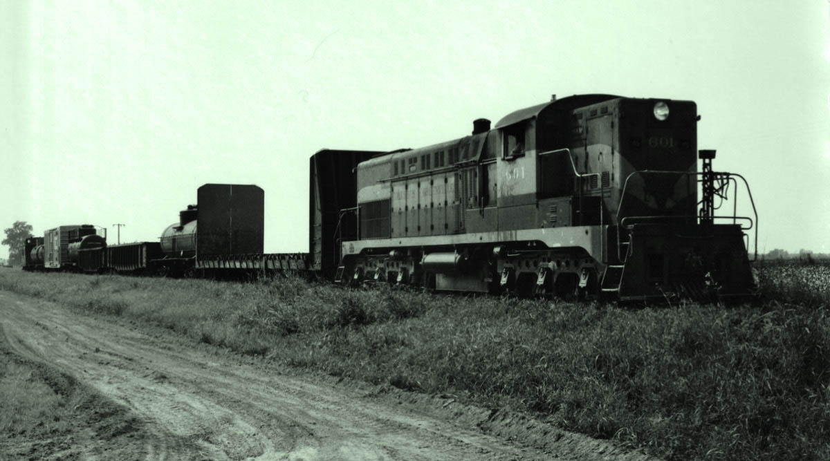
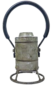
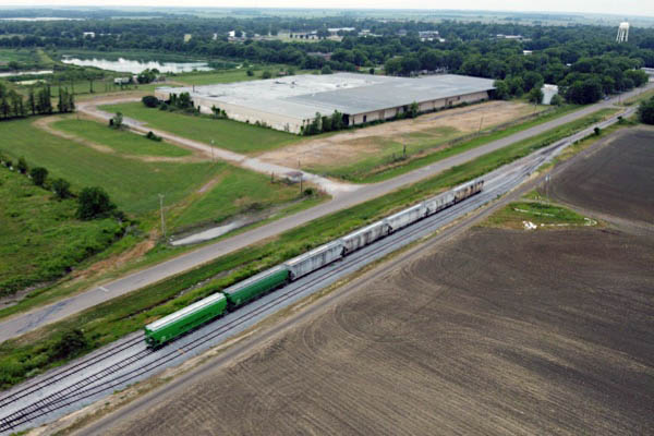
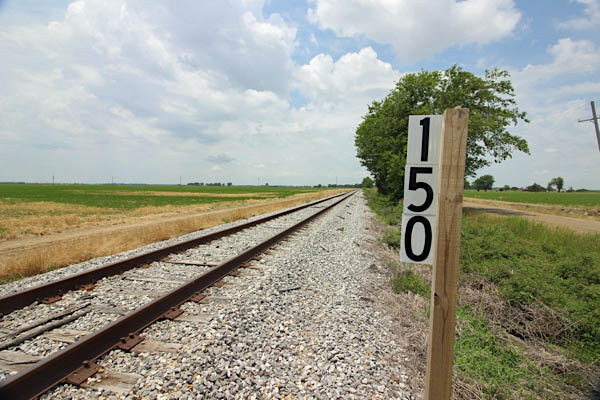
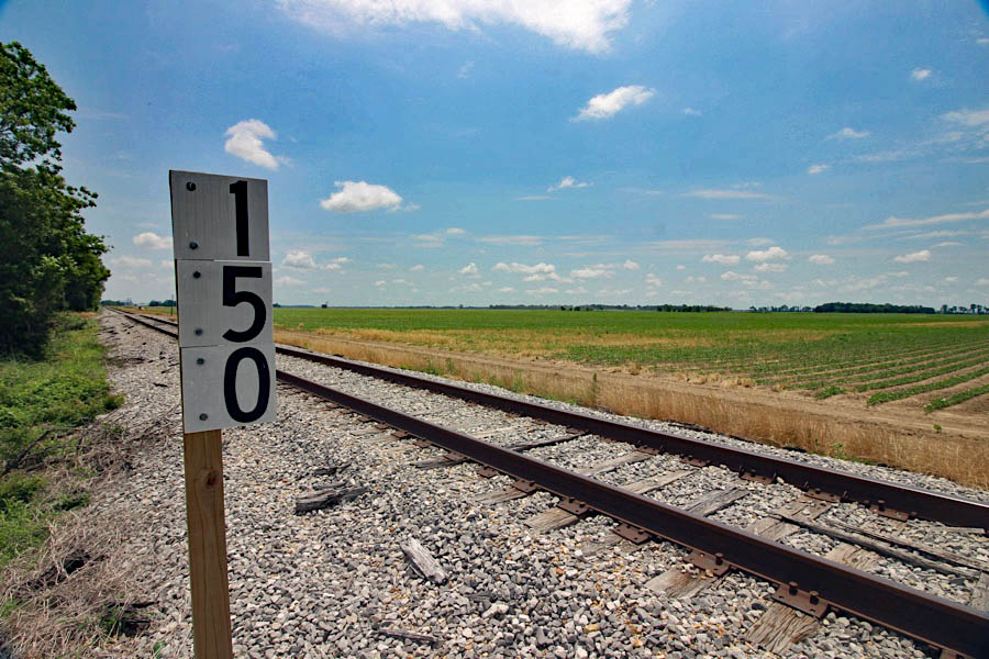
Heathman, Ms / Sep 1972 / collection
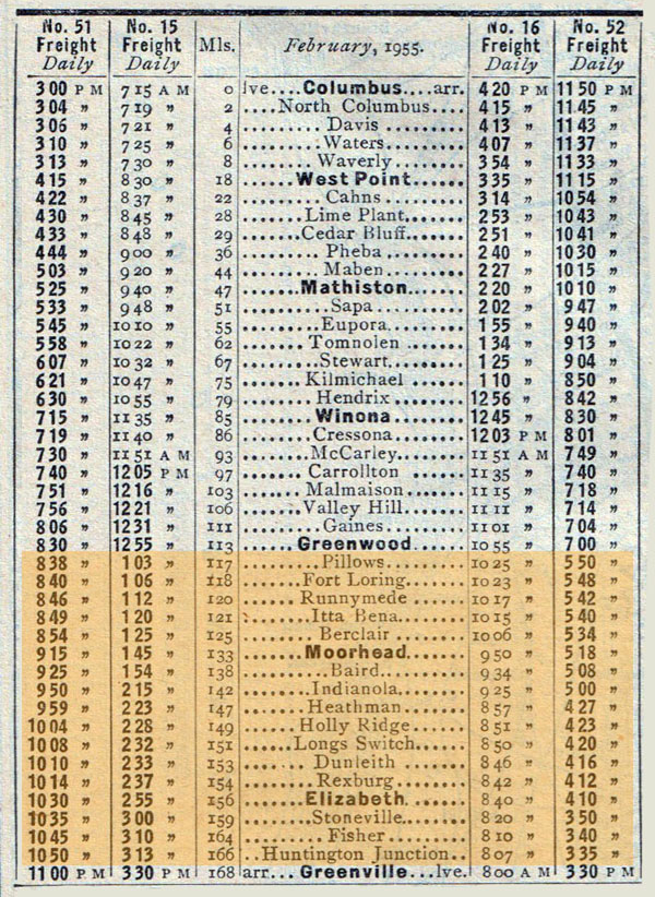
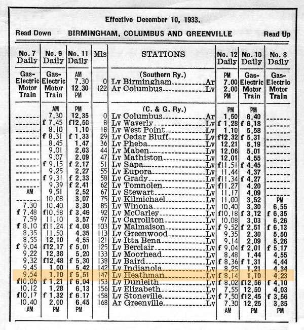
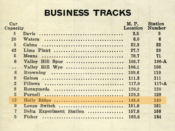
1955 route listing / collection
from  magazine - Sep 1958 / collection
CAGY route maps / Jul 1989 / RWH and JCH
current CAGY western route map / RWH
HawkinsRails thanks Bradley Bates, William Davis,
Chris Martin, and Louis Saillard for use of their photos for this page

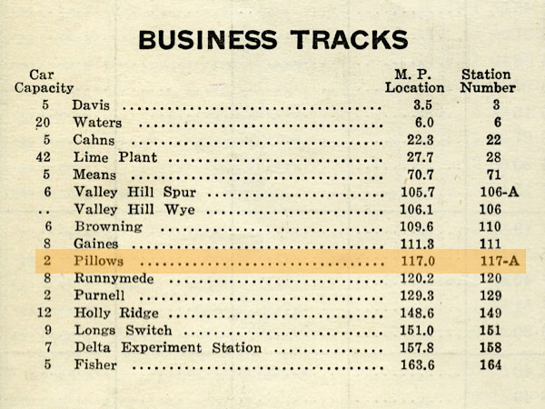
 Pillows
Greenwood, Ms / Jun 2020 / RWH

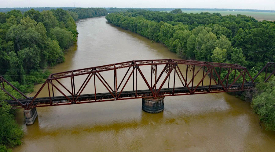
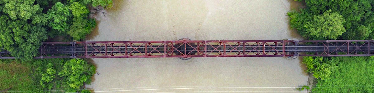
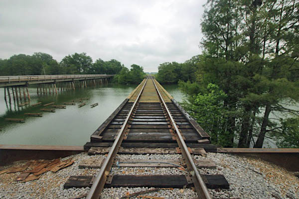
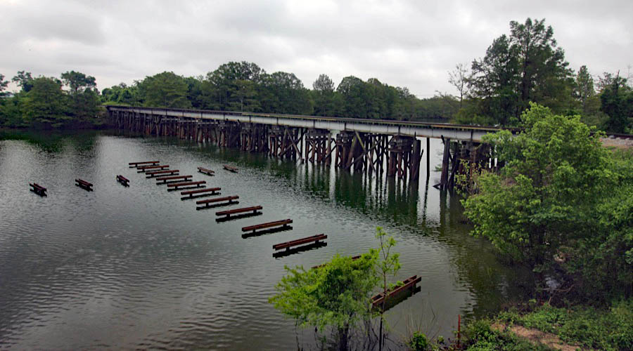
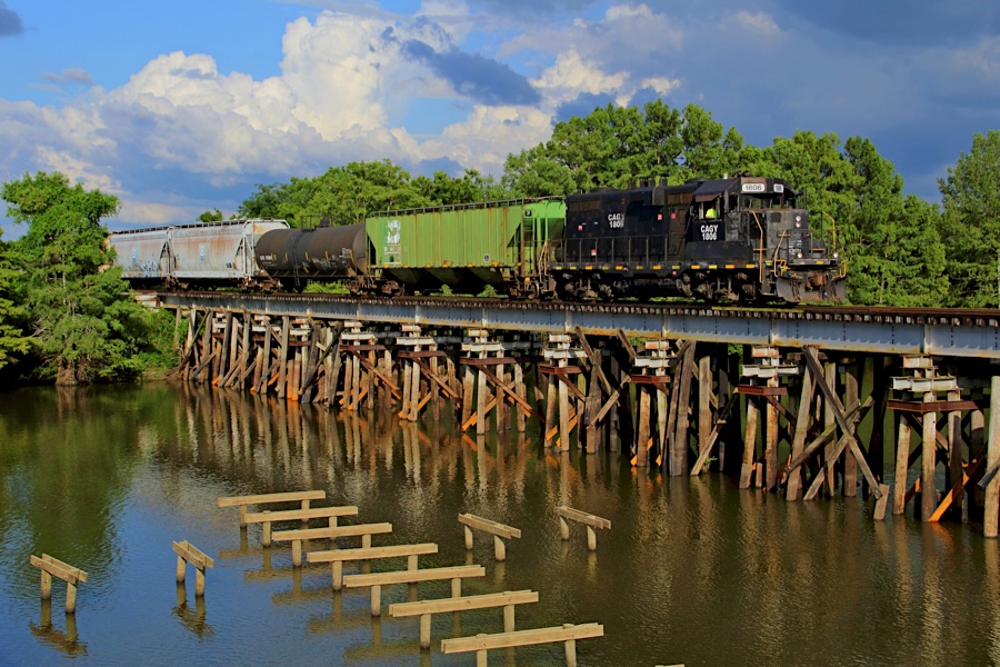
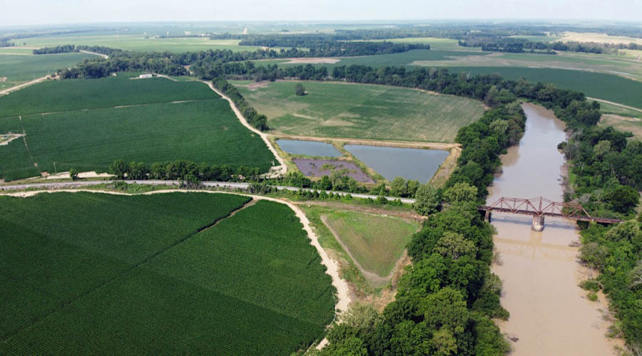
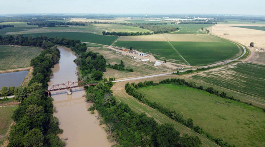
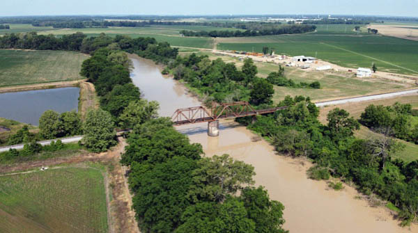
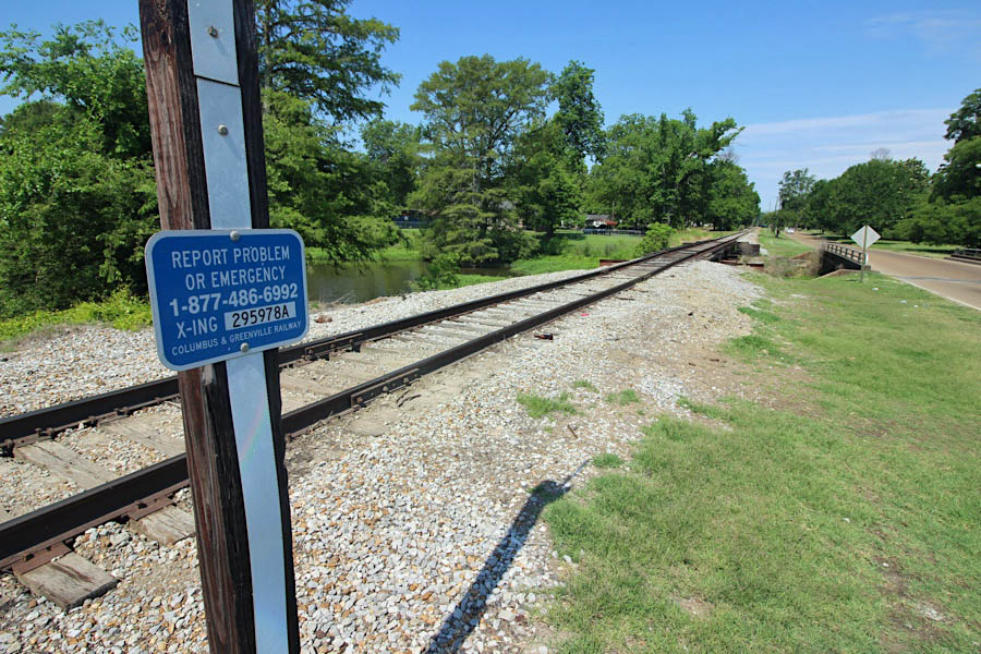
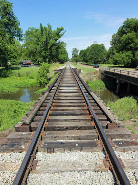
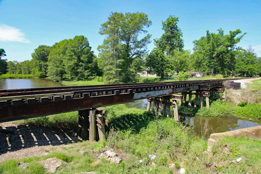
Click to see the Yazoo River swing bridge plotted on a Google Maps page
Greenwood, Ms / Jun 2020 / RWH
Greenwood, Ms / Jun 2020 / RWH
Greenwood, Ms / Jun 2020 / RWH
Greenwood, Ms / Jun 2020 / RWH
Jun 2020 / RWH
Jun 2020 / RWH
Jun 2020 / RWH
Jun 2020 / RWH
Greenwood, Ms / Jun 2020 / RWH
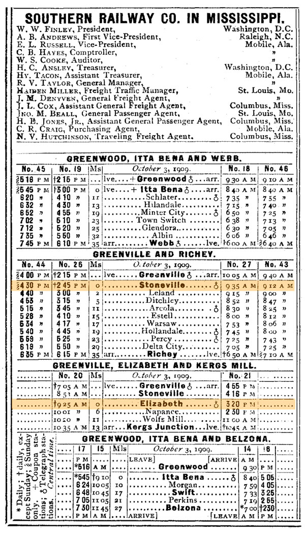
1947 timetable / collection
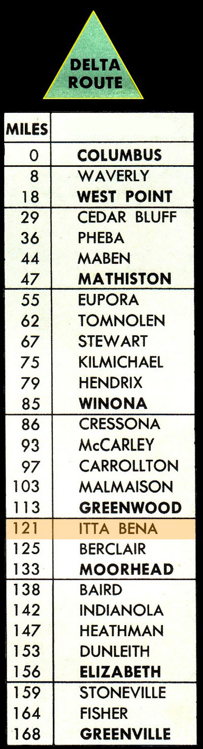
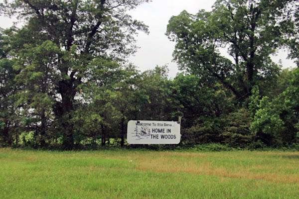
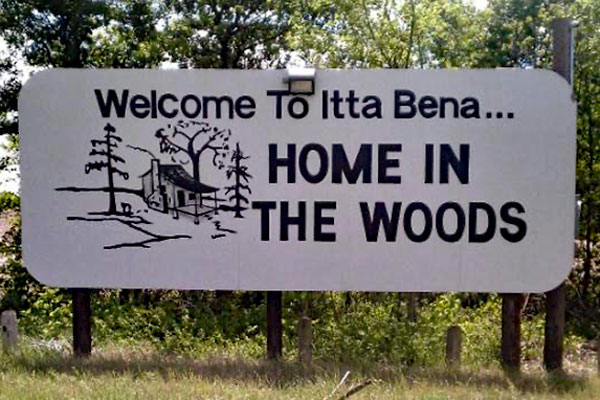
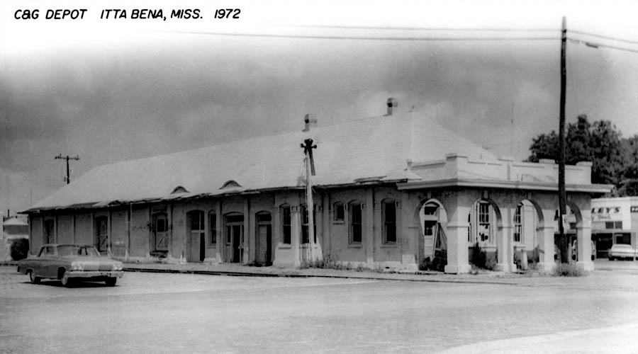
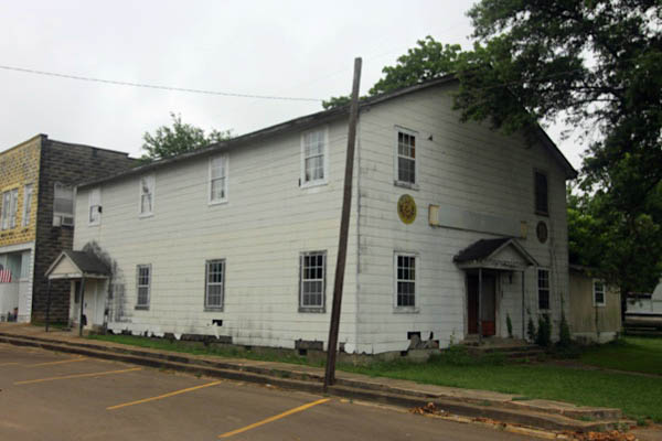
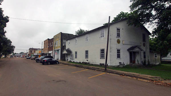
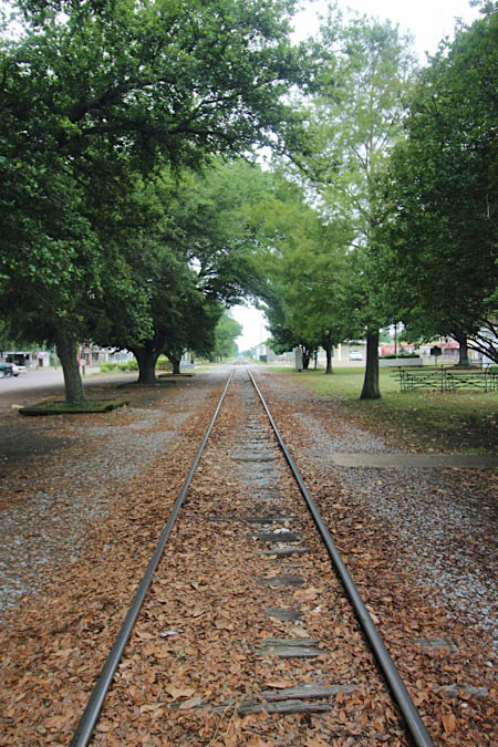
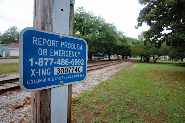
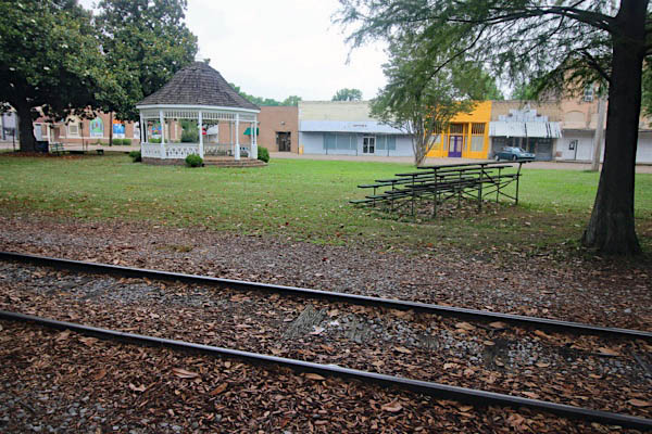
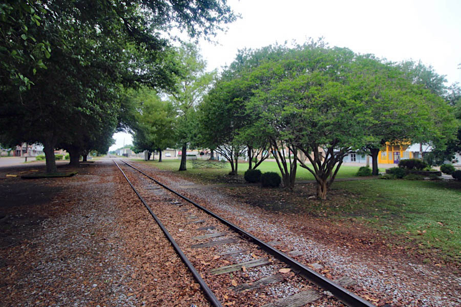
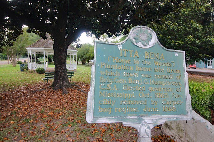
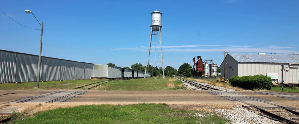
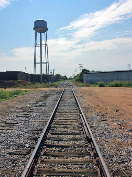
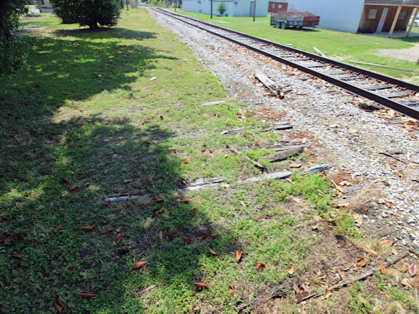
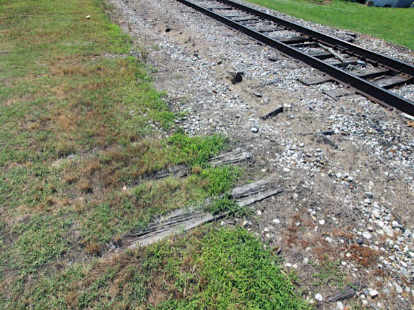
 Itta Bena
Itta Bena, Ms / Jun 2020 / RWH
Itta Bena, Ms / Jun 2020 / RWH
web
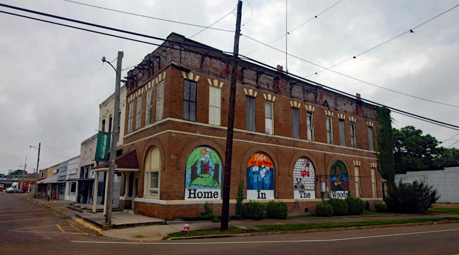
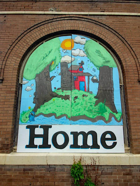
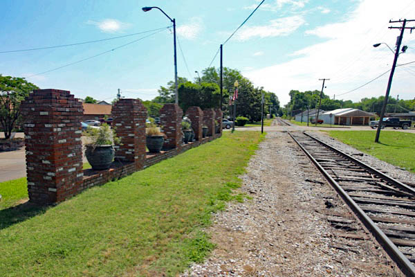
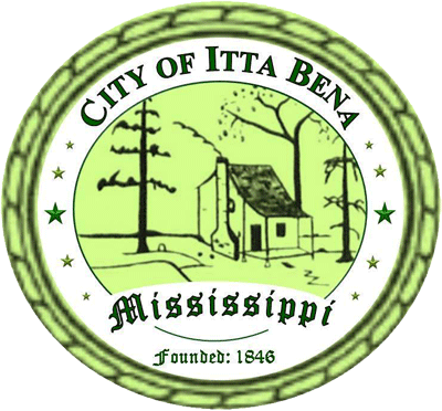 In 1846, several families from Claiborne County in south Mississippi travelled up the Yazoo River in a fervent quest to locate rich and fertile farm land. The family members and their laborers cut through the densely wooded habitat to find the property alongside a small area of the 19 mile Roebuck Lake as prime for constructing their lob cabins. The group named the area of land, Itta Bena, an Indian Choctaw phrase for “home in the woods” or “camp together.” The families developed a viable lifestyle on their plantations, with cotton and corn serving as their chief crops. Their successful production of quality products and abundant water sources became noticed by others, thus making their quaint little discovery more and more appealing to other settlers, especially those interested in agriculture.
With the village rapidly growing, the Georgia Pacific Railroad purchased a right of way that traveled directly through the plantation in 1888. In that same year, the first school was constructed with Miss Emma Cross serving as the first teacher. The construction of the railway, old Southern Railroad (later the Columbus & Greenville Railway) was completed with the first train traveling through Itta Bena in 1889. As a result of the influx of Deltans and other visitors to the area, J.B. Humphreys, P. Cohen, and Uriah Ray built the first stores to serve the booming center for trading, processing, and shipping crop. The centrally located train depot and eventually bus station transported many Deltans in and out of the area and allowed visitors a chance to explore this “home in the woods” often commenting on the aesthetically noticeable arches, columns, and brick designs.
Jun 2020 / RWH
Itta Bena, Ms / Jun 2020 / RWH
Itta Bena, Ms / Jun 2020 / RWH
Itta Bena, Ms / Jun 2020 / RWH
Itta Bena, Ms / Jul 2018 / Bradley Bates
Click to see the town of Itta Bena plotted on a Google Maps page
Itta Bena, Ms / 1972 / Wikipedia Commons
Jun 2020 / RWH
Itta Bena, Ms / Jun 2020 / RWH
Itta Bena, Ms / Jun 2020 / RWH
Itta Bena, Ms / Jun 2020 / RWH
Itta Bena, Ms / Jun 2020 / RWH
Itta Bena, Ms / Jun 2020 / RWH
Itta Bena, Ms / Jun 2020 / RWH
Itta Bena, Ms / Jun 2020 / RWH
Itta Bena, Ms / Jun 2020 / RWH
Itta Bena, Ms / Jun 2020 / RWH
Itta Bena, Ms / Oct 2010 / William Davis 
Jun 2020 / RWH
Itta Bena, Ms / Jun 2020 / RWH
Itta Bena, Ms / Jun 2020 / RWH
Itta Bena, Ms / Jul 2018 / Bradley Bates
1910 Official Guide ad / collection
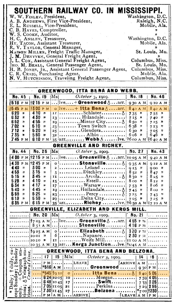
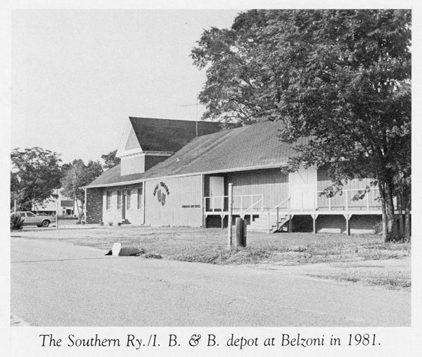
Prior to the formation of the original Columbus & Greenville in the early 1920s, predecessor Southern Railway in Mississippi operated two branchlines that both left the mainline at Itta Bena. One line went north to Glendora, Mississippi, then paralleled the Illinois Central mainline for a distance before playing out at Webb. The other branchline went south through Swift and then as far as Belzoni. The new Columbus & Greenville received federal permission in 1921 to abandon the southern line, but local businessmen formed a shortline to operate the segment for freight service. The little Itta Bena & Belzoni Railroad would be short-lived, however, losing money every year until cessation of operations in 1928. Very little remains of the shortline today, save the former SRM depot in Belzoni.
from Delta Route
by Louis Saillard / collection
SRM branchline map / RWH
 Berclair
Berclair, Ms / Jun 2020 / RWH
Berclair, Ms / Jun 2020 / RWH
Berclair, Ms / Oct 2010 / Chris Martin
Click to see the crossing at Berclair plotted on a Google Maps page
Colony Town, Ms / Jun 2020 / RWH
Colony Town, Ms / Jun 2020 / RWH
Click to see the Route 546 crossing plotted on a Google Maps page
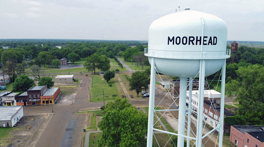
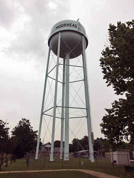
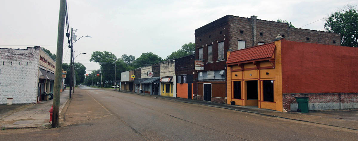
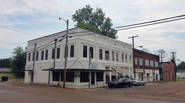
Moorhead, Ms / Jun 2020 / RWH
 Shipper Spotlight: Fishbelt Feeds
Moorhead, Ms / Jun 2020 / RWH
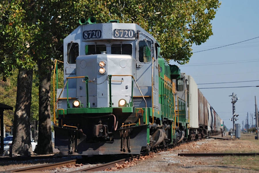
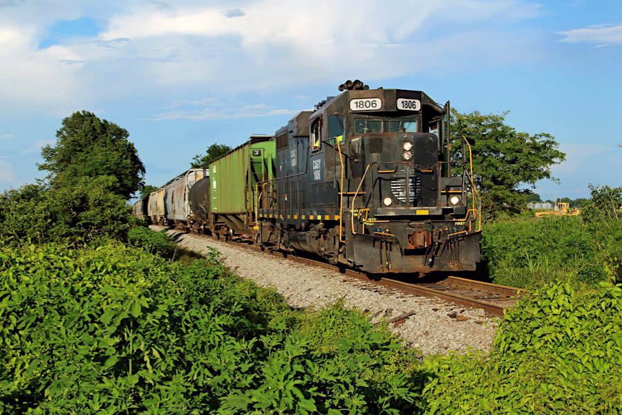
Fishbelt Feeds, Inc. is a catfish feed manufacturing facility located on the east side of Moorhead, Mississippi. The operation produces fish feed for catfish, bass, brim, and other fish. Raw materials are received by rail via covered hoppers; finished product is distributed via trucks. This facility is typical of several such industries on the western end of the bifurcated Columbus & Greenville that have brought significant carloadings to the shortline in recent years.
Click to see the Fishbelt Feeds facility plotted on a Google Maps page
Jun 2020 / RWH
Moorhead, Ms / Jun 2020 / RWH
Moorhead, Ms / Jun 2020 / RWH
Moorhead, Ms / Jun 2020 / RWH
Moorhead, Ms / Jun 2020 / RWH
Moorhead, Ms / Jun 2020 / RWH
Moorhead, Ms / Jun 2020 / RWH
Moorhead, Ms / Jun 2020 / RWH
Moorhead, Ms / Jun 2020 / RWH
Moorhead, Ms / Jun 2020 / RWH
Moorhead, Ms / Oct 2010 / William Davis
 Moorhead
Moorhead, Ms / Jun 2020 / RWH
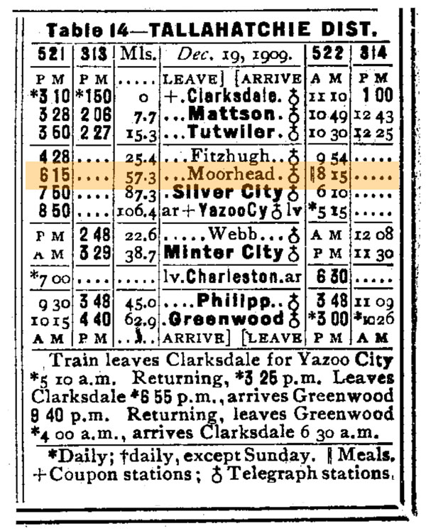
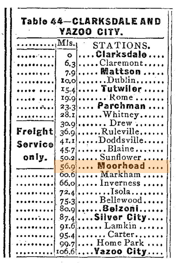
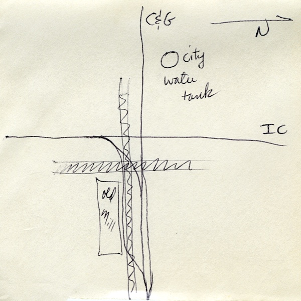
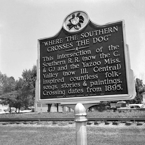
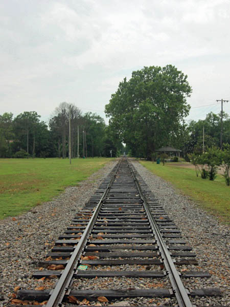
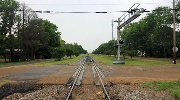
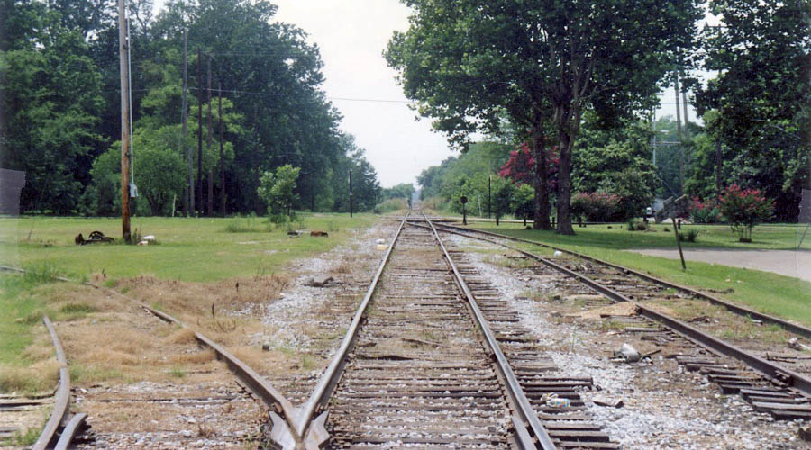
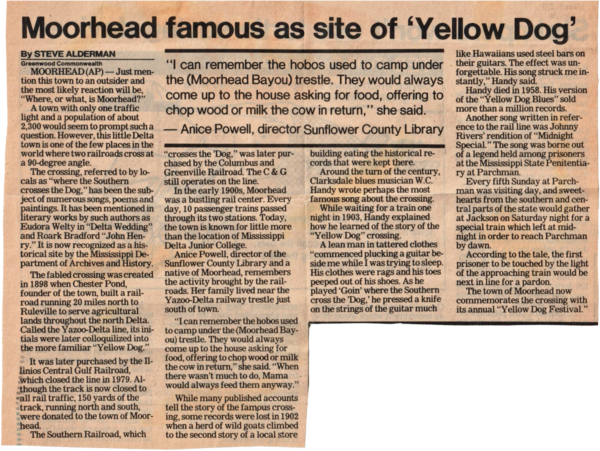
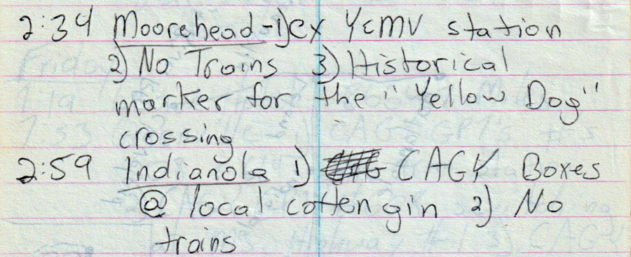
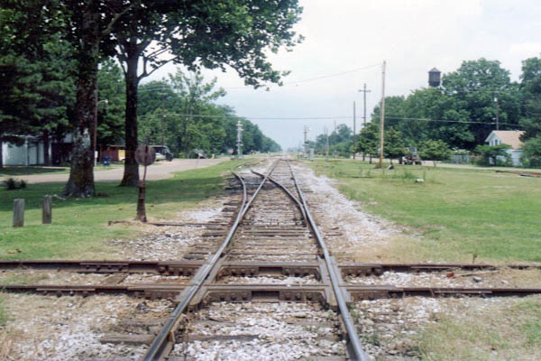
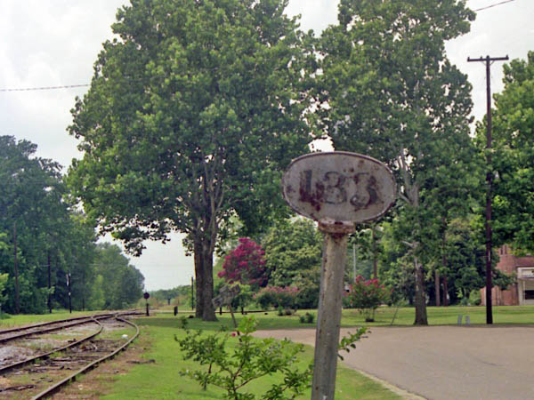
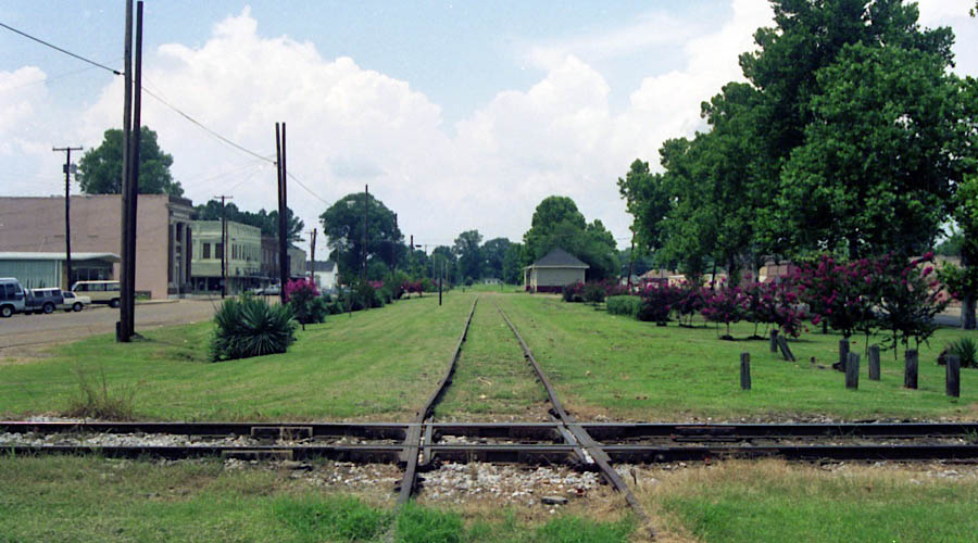
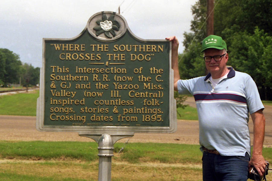
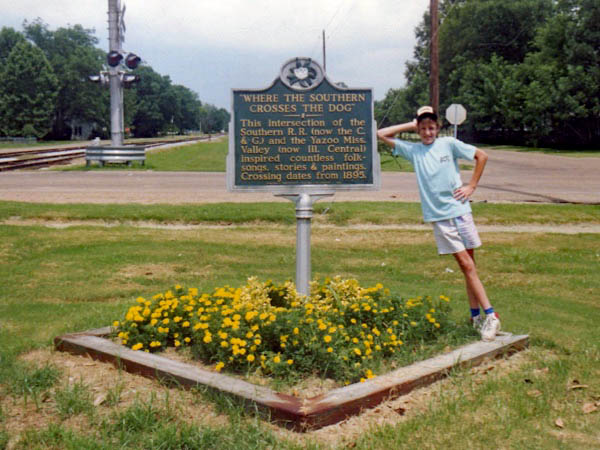
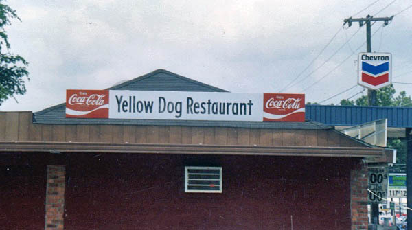
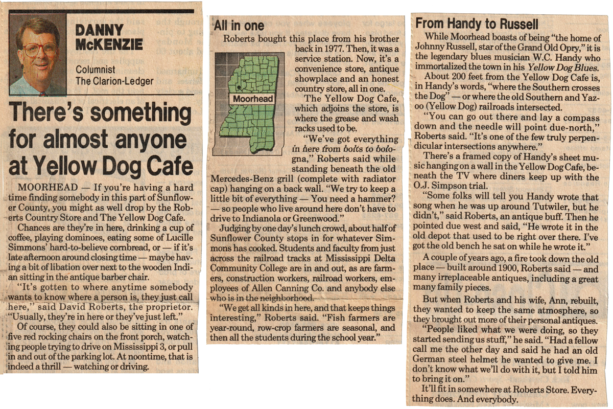
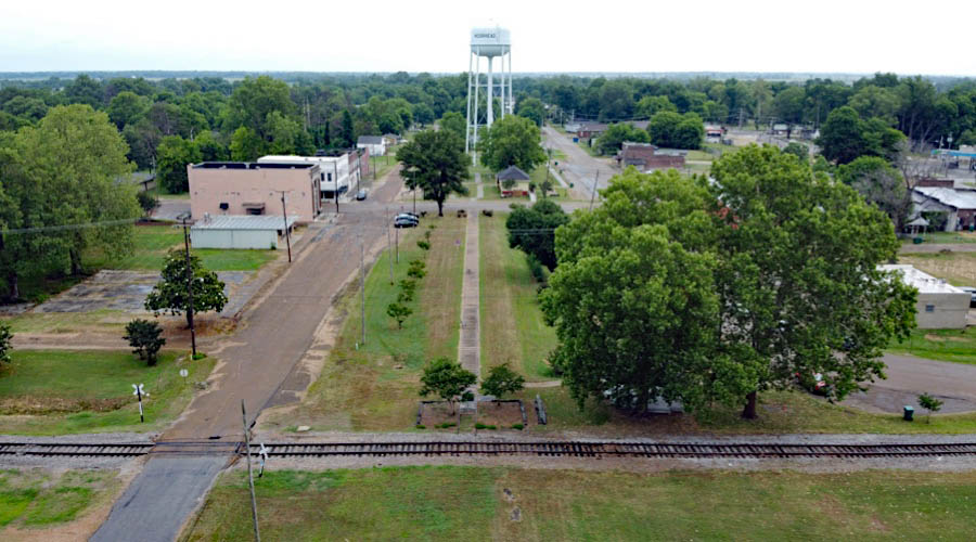
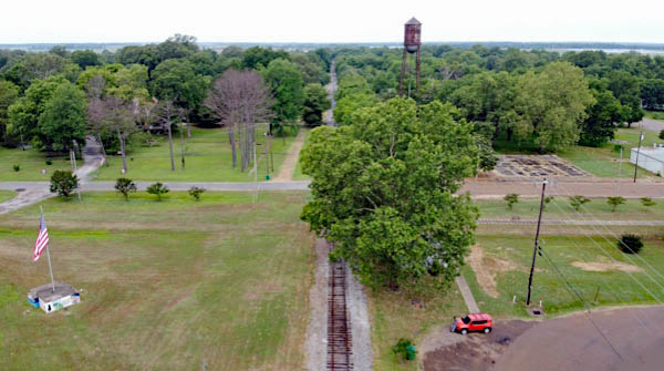
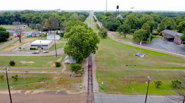
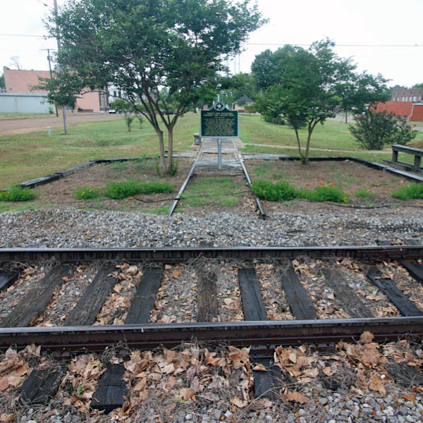
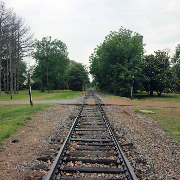
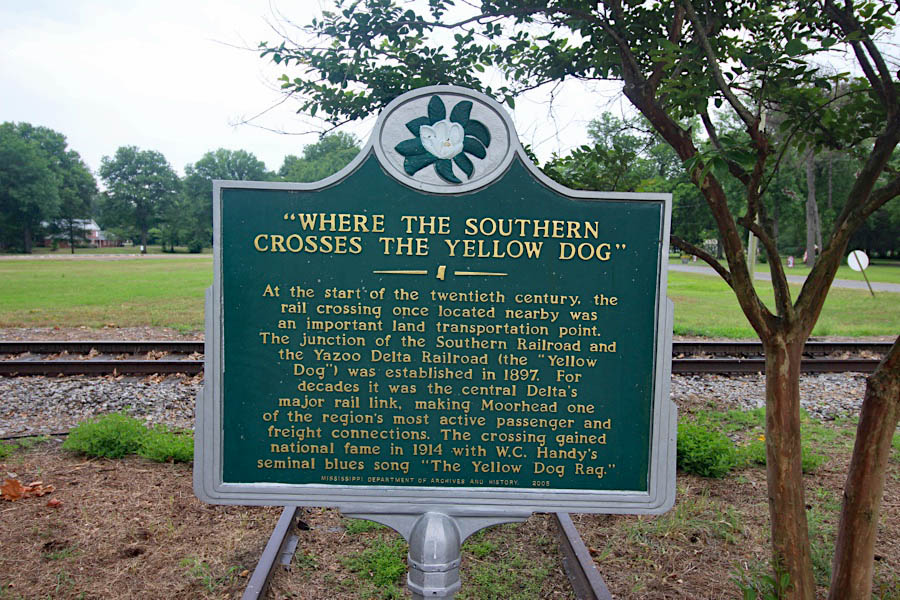
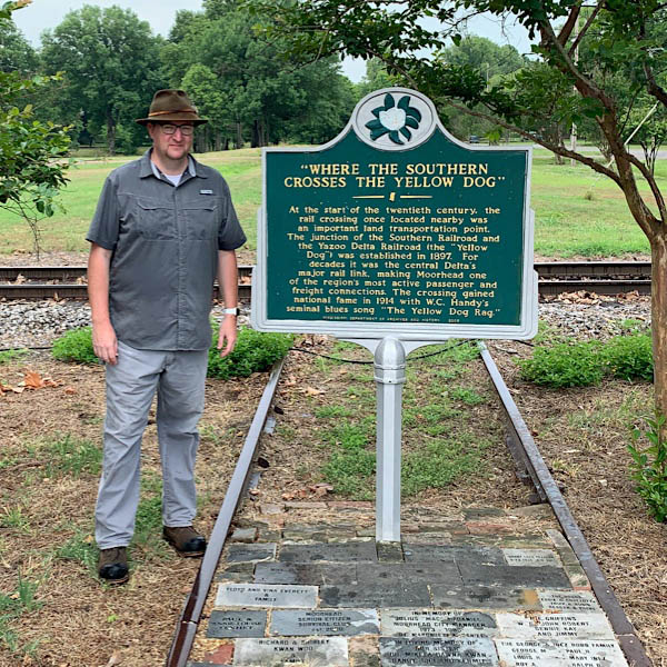
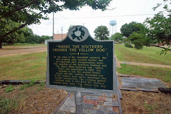
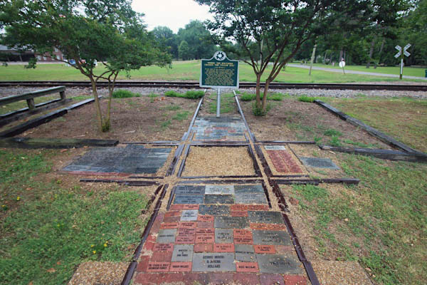
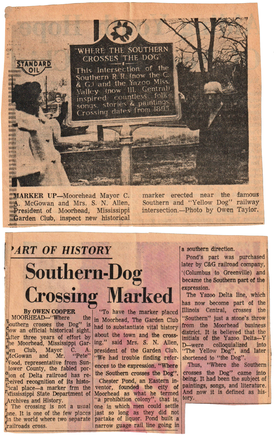
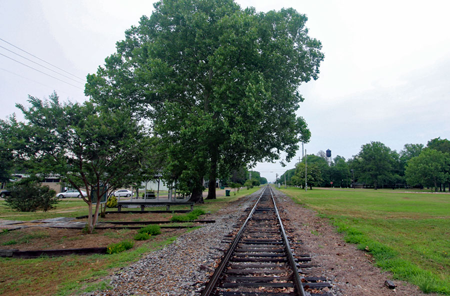
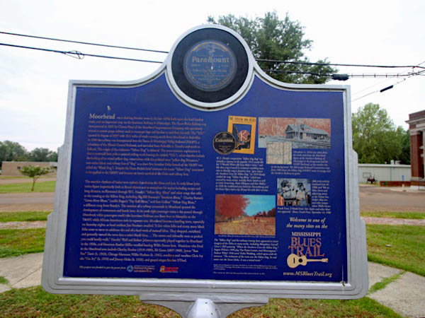
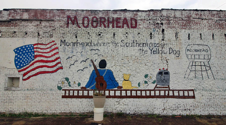
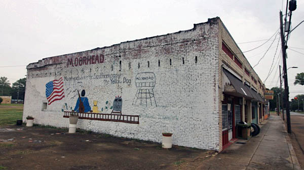
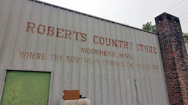
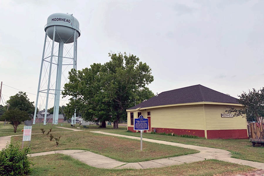
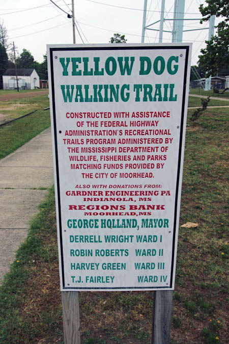
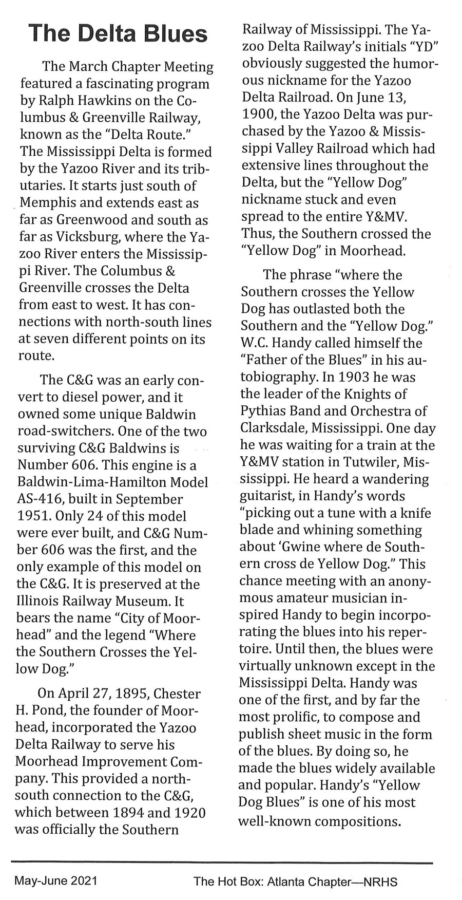
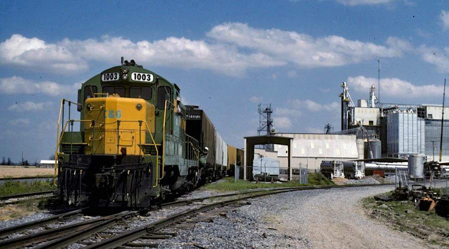
The north-south line that crossed the Columbus & Greenville at Moorhead, Mississippi, was originally constructed by the Yazoo Delta Railway, incorporated in 1895. Among turn-of-the-century Sunflower County locals, the little pike was referred to as the "Yellow Dog" — a play on the "Y. D." reporting marks on the Yazoo Delta's equipment. Five years after its incorporation, the Yellow Dog was purchased by the expanding Yazoo & Mississippi Valley Railroad. Fifteen years later, having travelled through the Mississippi Delta, renowned musician W. C. Handy published a song entitled the "The Yellow Dog Rag," noting that "he's gone where the Southern crosses the Yellow Dog." "Southern" here referred to the Southern Railway in Mississippi, precursor to the original Columbus & Greenville. The C&G depot at the Moorhead interchange lasted until 1957. Today the former Y&MW depot (later Illinois Central) serves as the center of the Yellow Dog Walking Trail. The former Illinois Central trackage has been removed, but a historical marker is located at the site of the diamond crossing.
Click to see the Moorhead area plotted on a Google Maps page
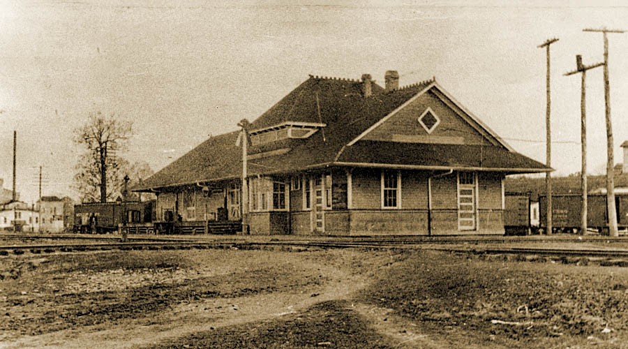
Moorhead depot / 1917 inspection / collection
Paul Moon drawing / 1976 / collection
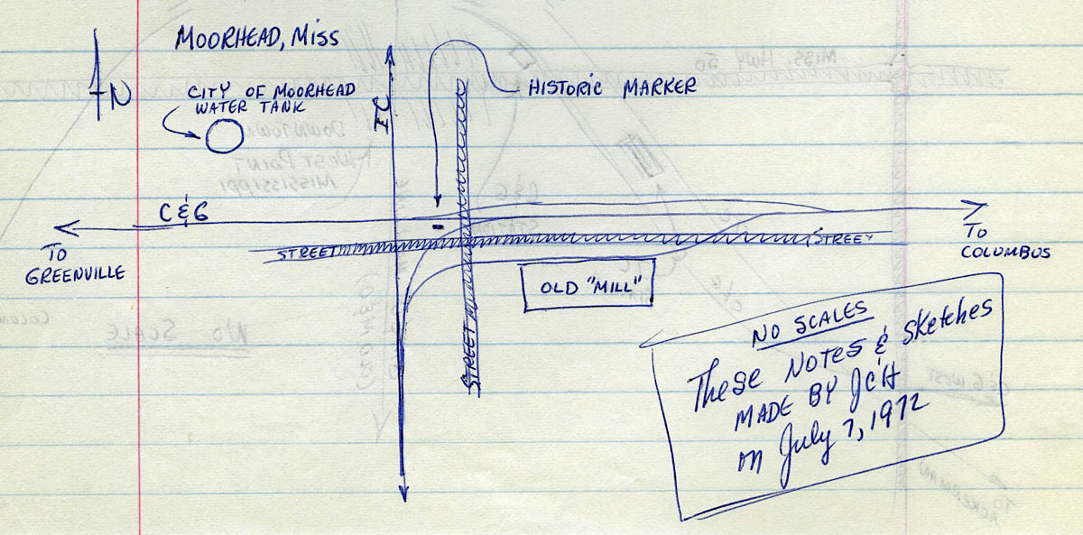
notes on Moorhead crossing / 1972 / JCH
1910 Official Guide ad / collection
1945 Official Guide ad / collection
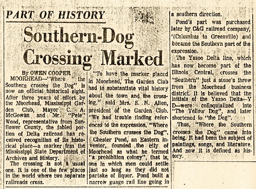
newspaper clipping / collection
JCH notes
Moorhead, Ms / Jul 1972 / JCH
Jun 2020 / RWH
Moorhead, Ms / Jun 2020 / RWH
Moorhead, Ms / Jun 2020 / RWH
Click to see the Highway 3 crossing plotted on a Google Maps page
Moorhead, Ms / Jun 2020 / RWH
Moorhead, Ms / Jun 2020 / RWH
1920 Southern Rwy in Miss map / collection
westward view CAGY / Moorhead, Ms / Jul 1989 / RWH
Greenwood Commonwealth clipping / collection

Jul 1989
eastward view of CAGY / Moorhead, Ms / Jul 1989 / RWH
Moorhead, Ms / Jul 1989 / RWH
northward view of IC / Moorhead, Ms / Jul 1989 / RWH
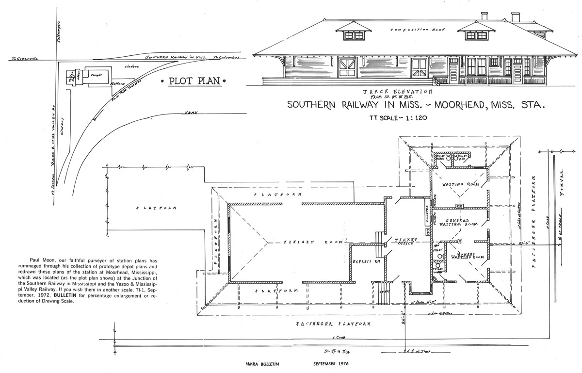
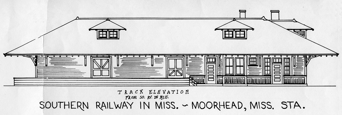
Moorhead depot plans / from National Model Railroad Assoc Bulletin - Sep 1976 / collection
Moorhead, Ms / Jul 1989 / RWH
Moorhead, Ms / Jul 1989 / JCH
Moorhead, Ms / Jul 1989 / RWH
from Jackson Clarion-Ledger
clipping / collection
northward view IC / Moorhead, Ms / Jun 2020 / RWH
westward view of CAGY / Moorhead, Ms / Jun 2020 / RWH
eastward view of CAGY / Moorhead, Ms / Jun 2020 / RWH
southward view of IC / Moorhead, Ms / Jun 2020 / RWH
Moorhead, Ms / Jun 2020 / RWH
Jun 2020 / RWH
Moorhead, Ms / Jun 2020 / RWH
Click to see the former Yellow Dog diamond area plotted on a Google Maps page
Moorhead, Ms / Oct 2010 / William Davis
Moorhead, Ms / Jun 2020 / RWH
Jun 2020 / RWH
Moorhead, Ms / Jun 2020 / RWH
Moorhead, Ms / Jun 2020 / RWH
Jun 2020 / RWH
newspaper clipping / collection
Moorhead, Ms / Jun 2020 / RWH
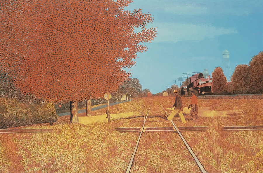
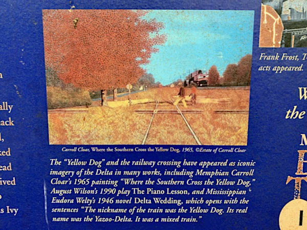
"Where the Southern Cross the Yellow Dog"
Carroll Cloar (1965) / Casein tempera on Masonite / Memphis Brooks Museum of Art
Moorhead, Ms / Jun 2020 / RWH
Jun 2020 / RWH

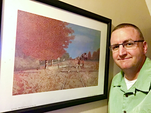 Hanging on the wall in my upstairs hallway is a print of Cloar's 1965 painting (above) commemorating the diamond in Moorhead, Mississippi, where the Columbus & Greenville crossed the Illinois Central Gulf -- formerly the Southern Railway in Mississippi crossing with the Yazoo & Mississippi Valley, aka the "Yellow Dog."
The scene looks east, towards Greenwood and Columbus, and evokes such good memories of my visits to the Delta Route during my childhood years. Once, during late summer, we plied the entire line from east to west, Columbus to Greenville, taking pictures of stations and noting crossings such as the one in Moorhead — dormant by the time of our 1989 visit.
Cloar's work is classic Deep South nostalgia. Indeed, didn't southerners invent nostalgia? Certainly fans of the Columbus & Greenville — these days, a shadow of its former self — are card-carrying members of that backward-looking fraternity. Join me in a round of the Yellow Dog Blues.
Jun 2020 / RWH
Moorhead, Ms / Jun 2020 / RWH
Moorhead, Ms / Jun 2020 / RWH
Jun 2020 / RWH
Moorhead, Ms / Jun 2020 / RWH
Moorhead, Ms / Jun 2020 / RWH
Jun 2020 / RWH
Moorhead, Ms / Jun 2020 / RWH
Jun 2020 / RWH

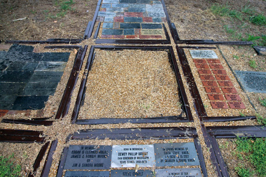
See also our complete Yellow Dog Walking Trail scrapbook in Preservation
Moorhead, Ms / Jul 2018 / Bradley Bates
from The Hot Box: Atlanta Chapter NRHS newsletter
- summer 2021 / collection
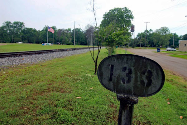
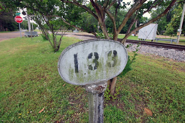
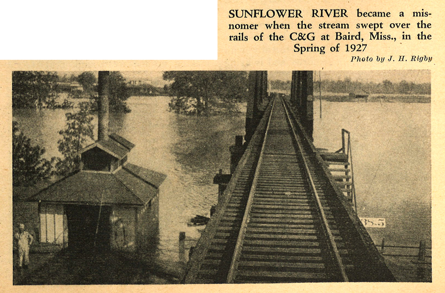
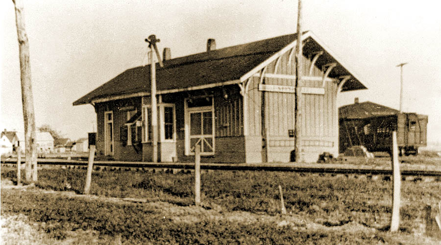
 Baird
Baird

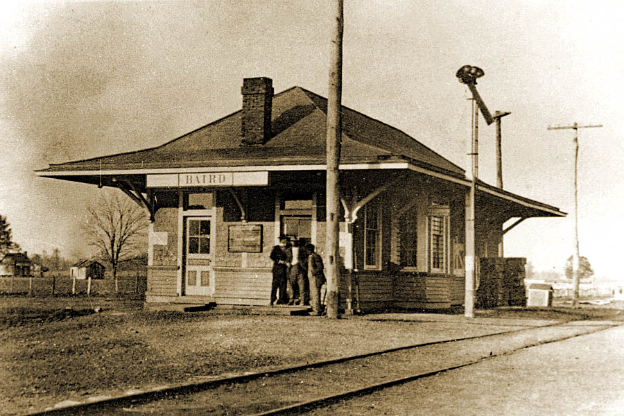
Baird depot / 1917 inspection / collection
Click to see the village of Baird plotted on a Google Maps page
Baird, Ms / Oct 2010 / William Davis
Baird, Ms / Jun 2020 / RWH
from Railroad Magazine
- Aug 1944 / collection
Baird, Ms / Mar 1999 / Louis Saillard 
Baird, Ms / Jun 2020 / RWH
Baird, Ms / Jun 2020 / RWH
Baird, Ms / Jun 2020 / RWH
Baird, Ms / Jun 2020 / RWH
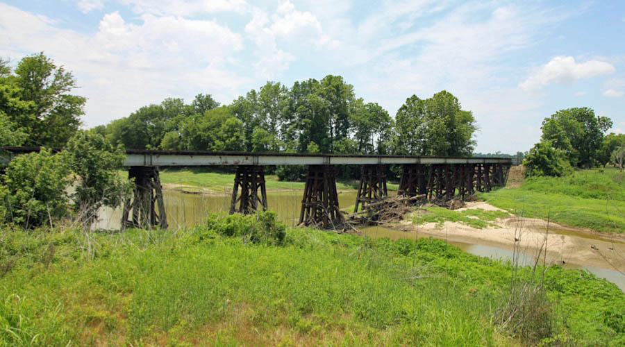
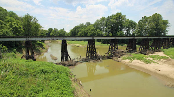
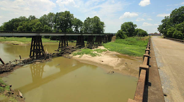
Click to see the Sunflower River Bridge plotted on a Google Maps page
Baird, Ms / Jun 2020 / RWH
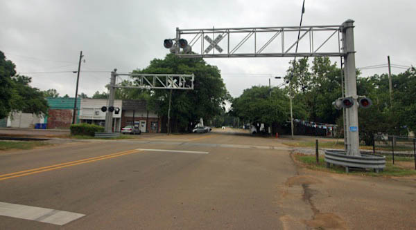
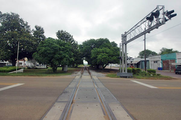
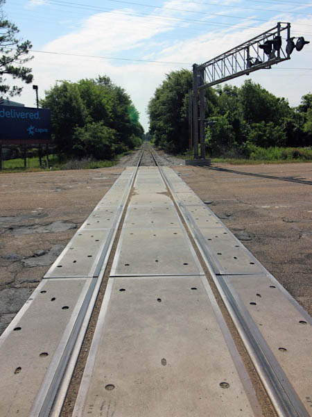
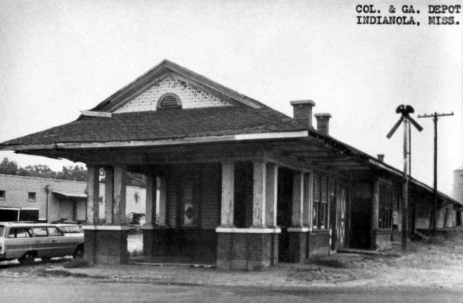
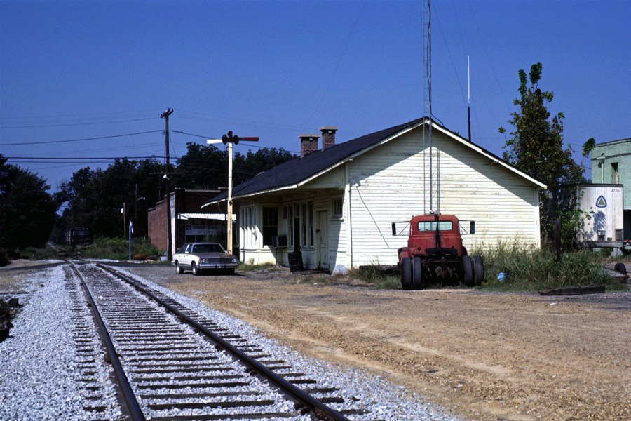
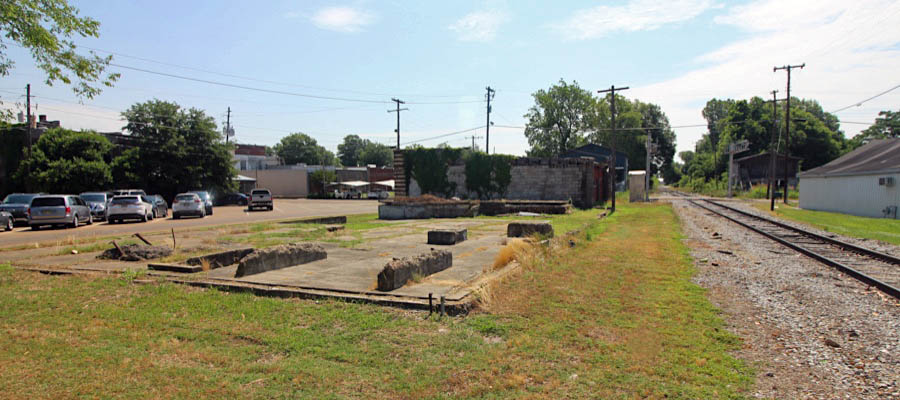
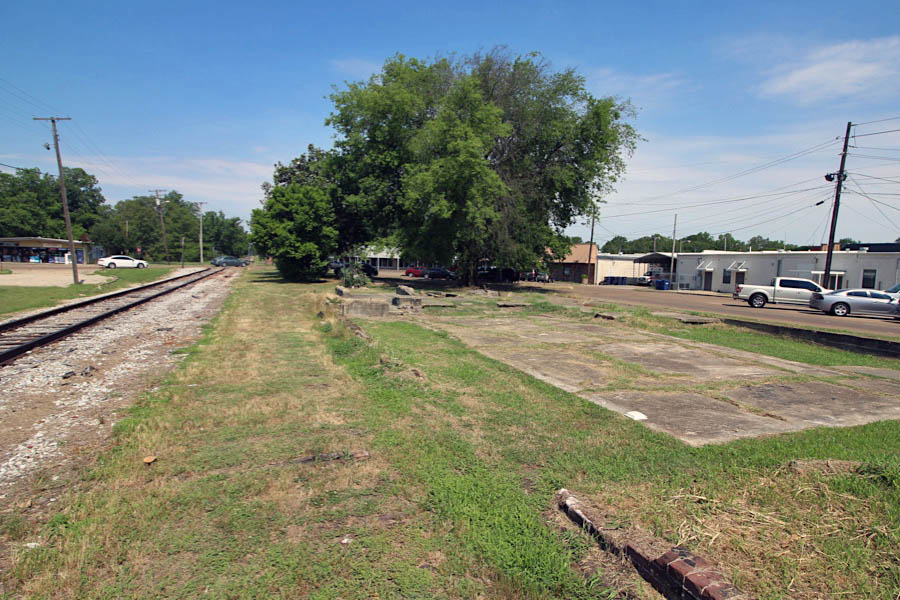
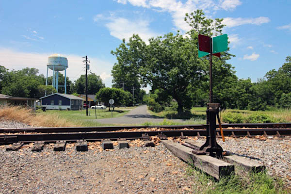
 Indianola
Indianola, Ms / Jun 2020 / RWH
Indianola, Ms / Jun 2020 / RWH
Click to see the Martin Luther King Jr. Drive crossing plotted on a Google Maps page
Jun 2020 / RWH
Jun 2020 / RWH
Indianola, Ms / Jun 2020 / RWH
Click to see the B.B. King Road crossing plotted on a Google Maps page
Jun 2020 / RWH
Indianola, Ms / Jun 2020 / RWH
Indianola, Ms / Jun 2020 / RWH
Indianola, Ms / Jun 2020 / RWH
Indianola, Ms / Jun 2020 / RWH
Jun 2020 / RWH

Indianola, Ms / 1960 / Mississippi Digital Library
Indianola, Ms / Oct 1982 / Gerhard Anderson
Click to see the site of the former C&G depot plotted on a Google Maps page
Indianola, Ms / Jun 2020 / RWH
Jun 2020 / RWH
Jun 2020 / RWH
Jun 2020 / RWH
Indianola, Ms / Jun 2020 / RWH
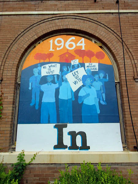
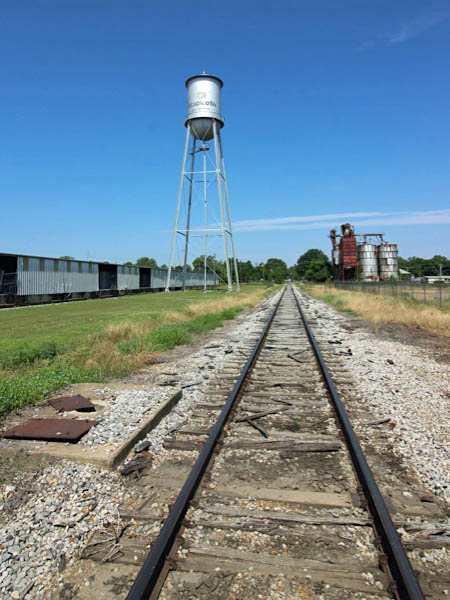
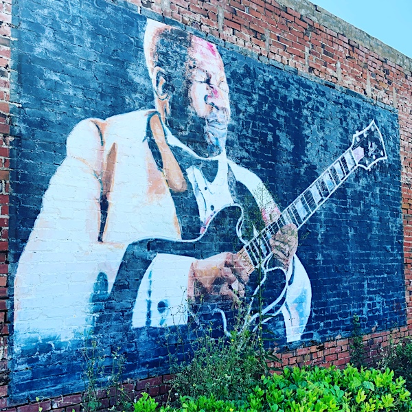
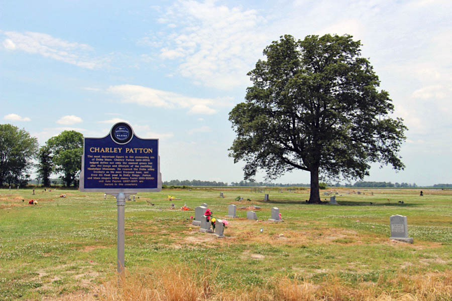
 Indianola is a small town of a little more than 12,000 citizens, but its population size is no reflection at all to its importance as a growing Mississippi business. This business is the musical genre of blues and the tourism industry it has spawned. Thousands flock to Indianola annually for the music festivals and to visit the homes and birthplaces of its famous bluesmen.
Indianola began like most small towns in Mississippi. In the 1880s, Indianola was a sawmill town, but it soon developed as a farming community. Agri-economy is still a big business, and the surrounding area produces cotton, soybeans, corn, rice, and plenty of catfish. It is located almost in the center of the Delta, midway between the Mississippi River and the rolling hill country, and is intersected by Highways 82 and 49, making it an important crossroads town.
 The town has had a number of names. It was first called Indian Bayou and then in quick succession became Eureka, Belengate, and then Indianola. Some people think that the name was from an Indian princess named Ola. But no matter how many names this town has had, Indianola is known around the world as one of the most important stops on Mississippi’s famous Blues Trail.
Indianola personifies the new Delta. It has firm roots in its agricultural past, but the future is barreling down Highway 49 at an amazing rate. Can you imagine this small town as an international tourist destination? It is well on its way, but still keeps its small-town charm, friendly people, and an entrepreneurial spirit that it grows as fast as Johnson grass. This small town offers a great combination of the Old South and good things to come.
Indianola, Ms / Oct 2010 / Chris Martin
Indianola, Ms / Jun 2020 / RWH
Indianola, Ms / Jun 2020 / RWH
Indianola, Ms / Jun 2020 / RWH
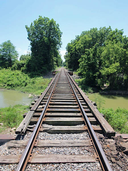
Click to see the West Prong Indian Bayou bridge plotted on a Google Maps page
Jun 2020 / RWH
Indianola, Ms / Jun 2020 / RWH
Indianola, Ms / Jun 2020 / RWH
Indianola, Ms / Jun 2020 / RWH

Jun 2020 / RWH
Indianola, Ms / Jun 2020 / RWH
Jun 2020 / RWH
Indianola, Ms / Oct 1982 / Louis Saillard
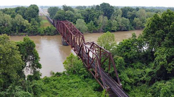
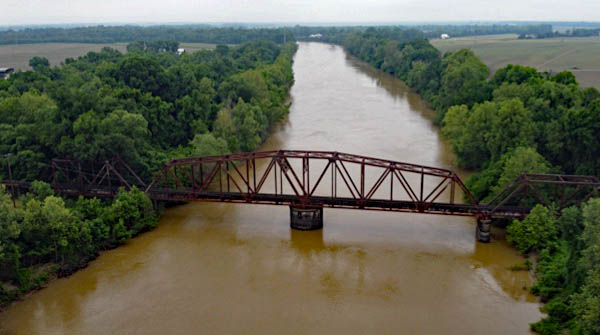
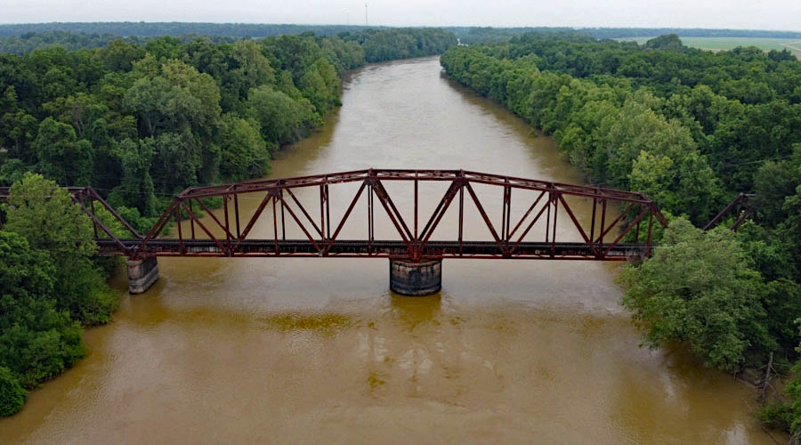
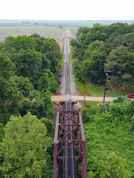
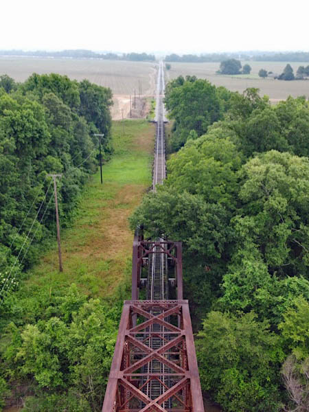
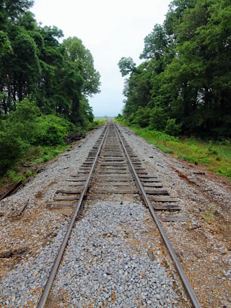
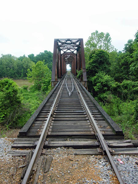
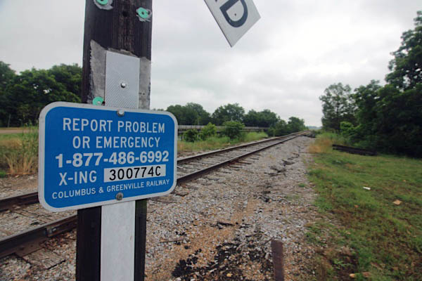
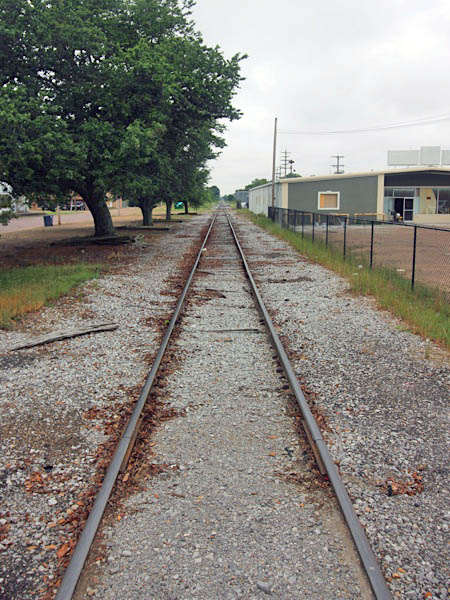
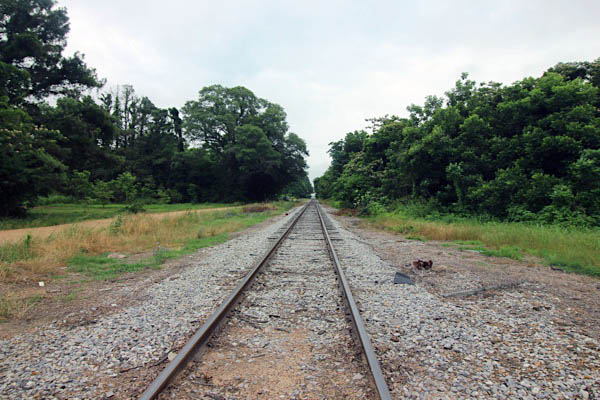
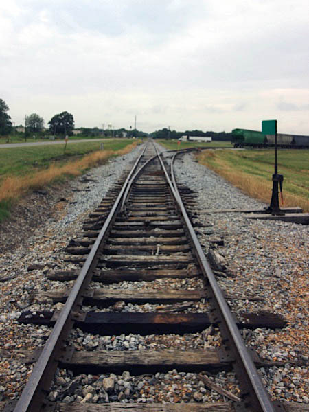
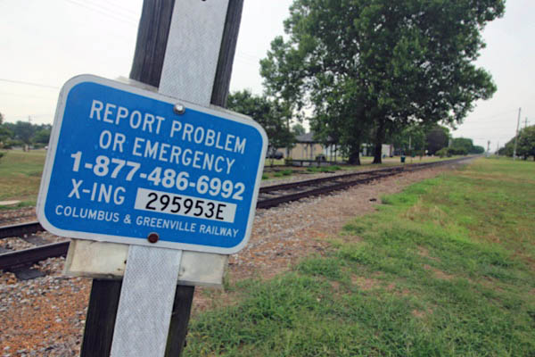
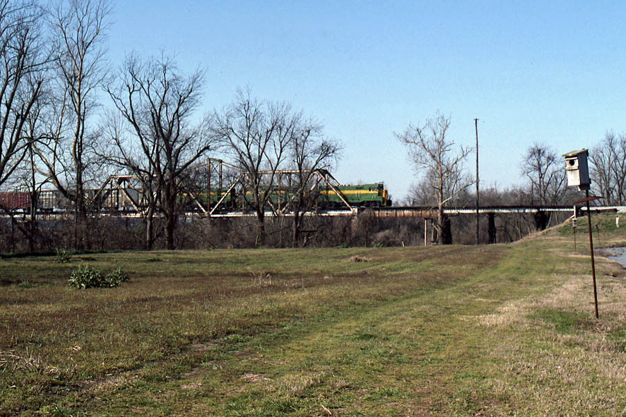
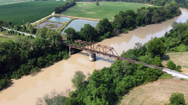
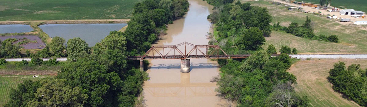
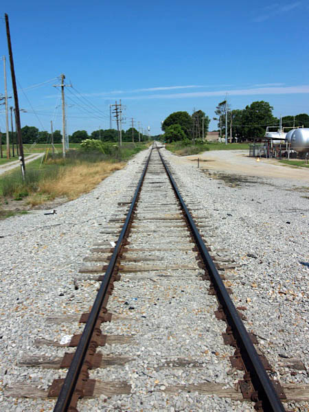
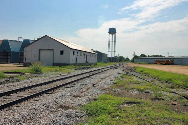
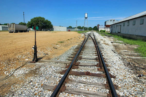
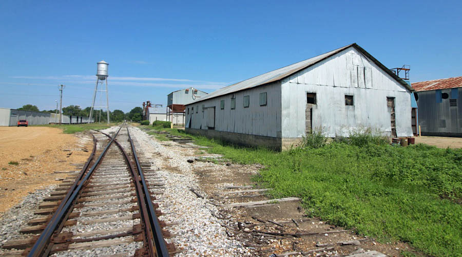
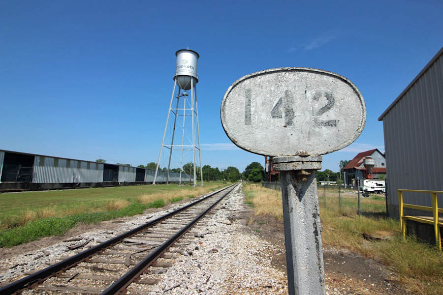
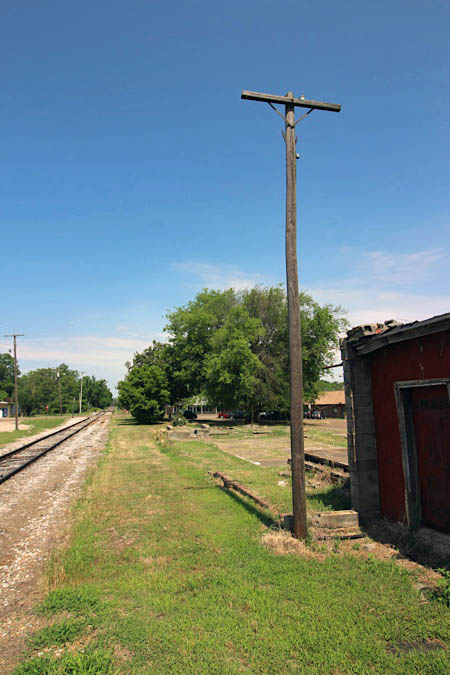
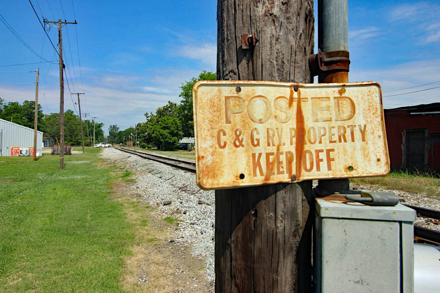
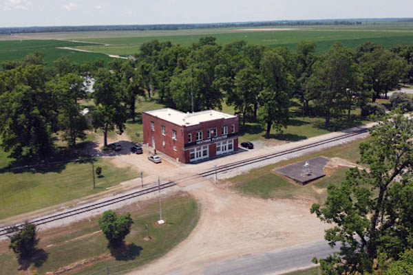
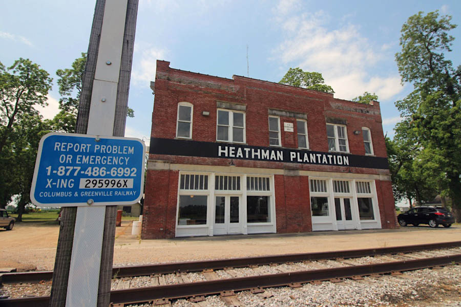
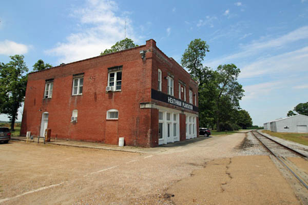
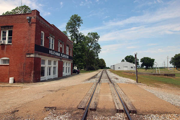
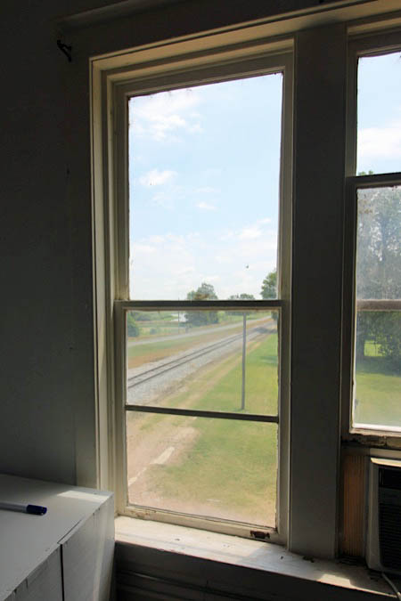
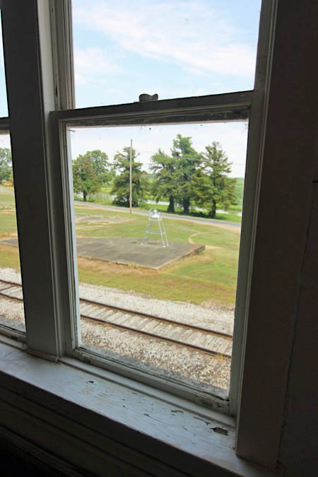
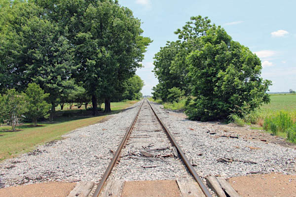
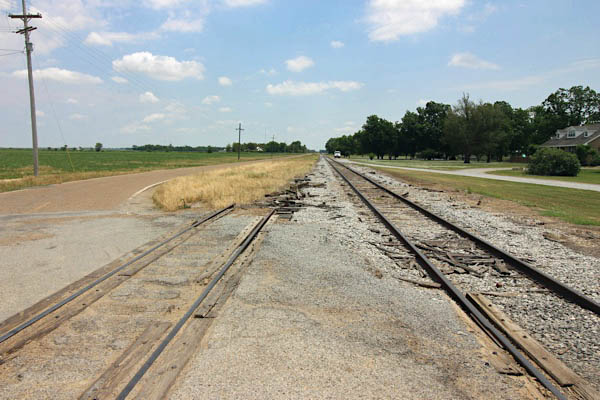
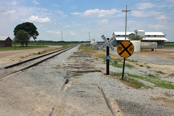
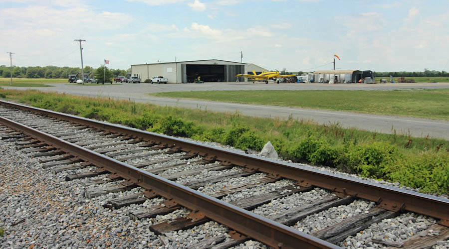
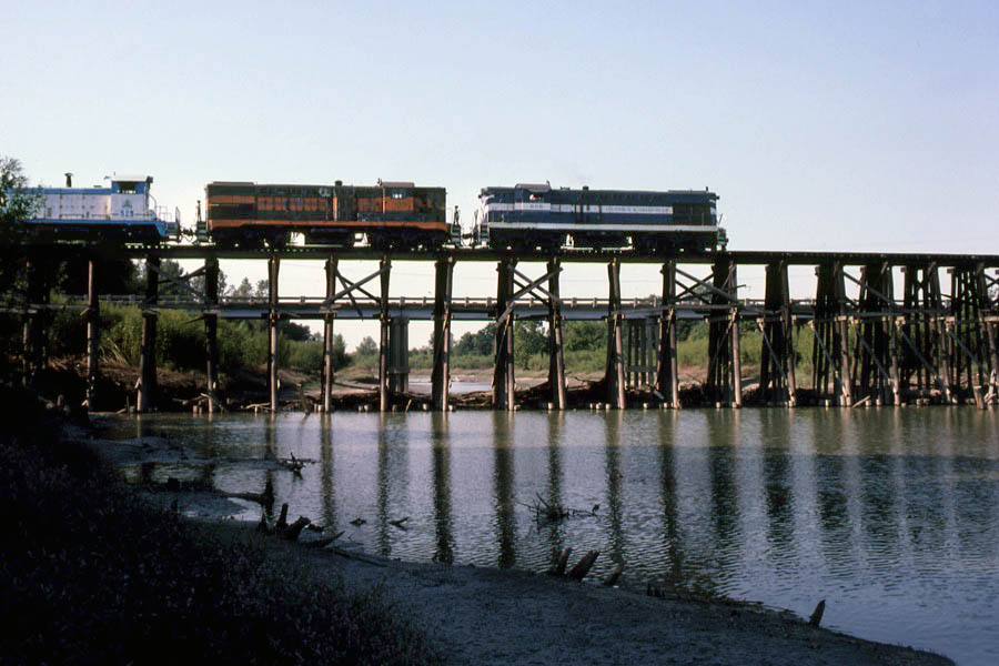
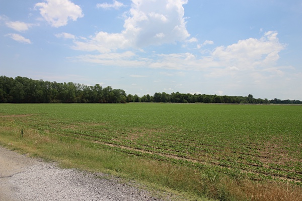
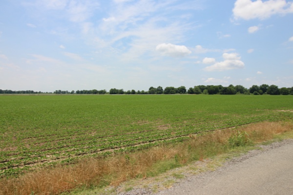
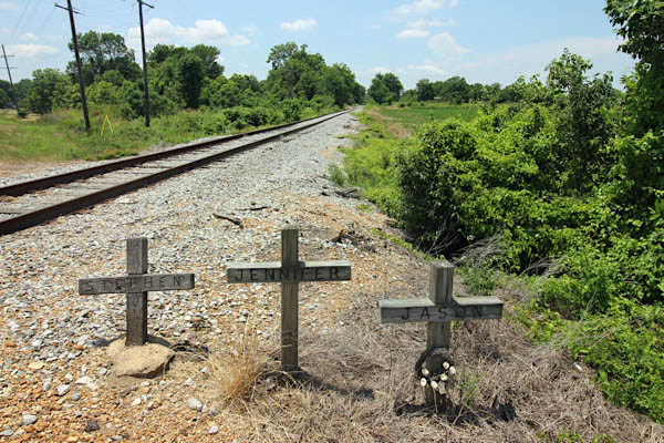
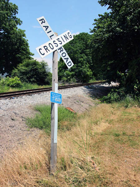
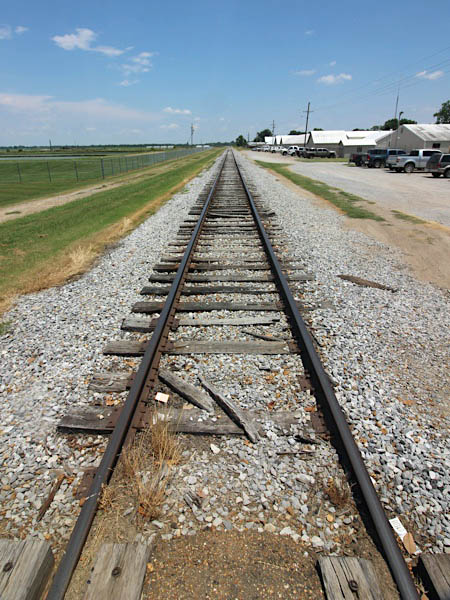
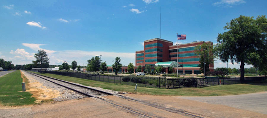
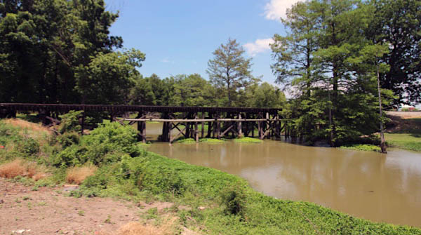
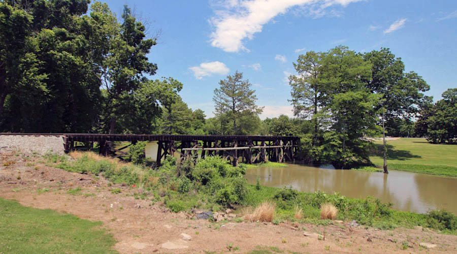
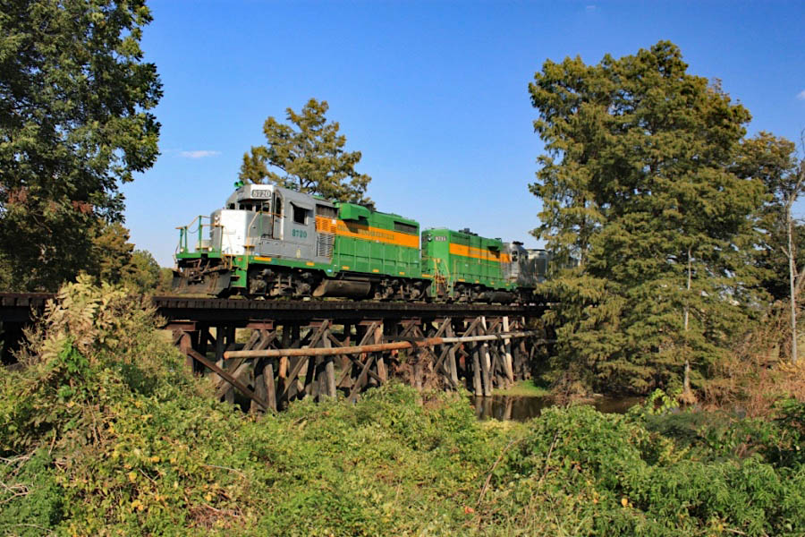
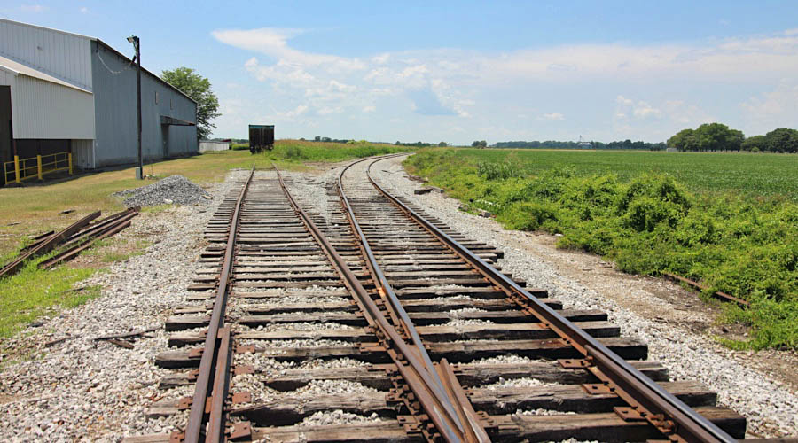
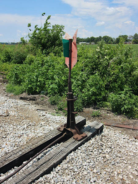
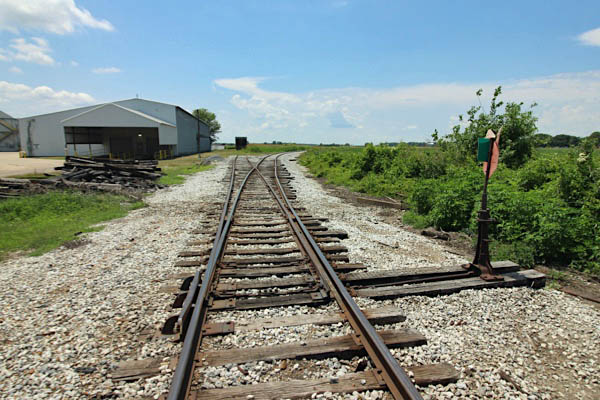
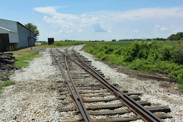
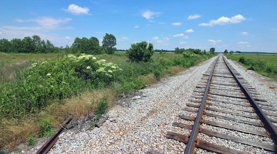
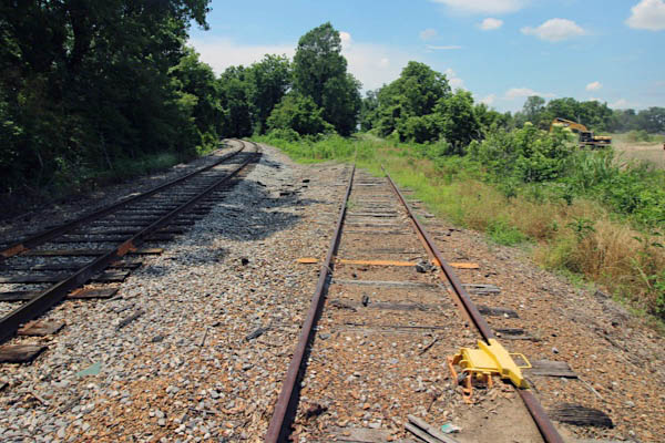
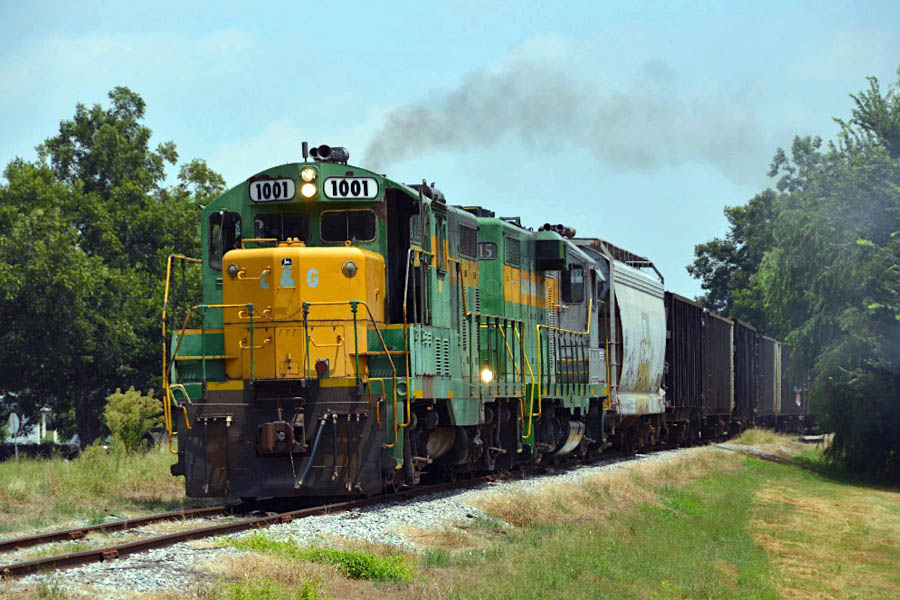
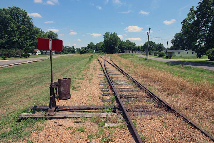
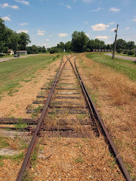
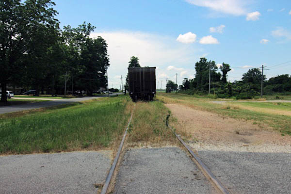
 Heathman
Heathman, Ms / Jun 2020 / RWH

Heathman, Ms / Jun 2020 / RWH
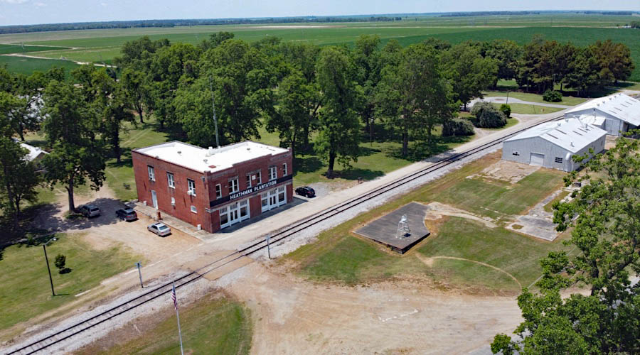
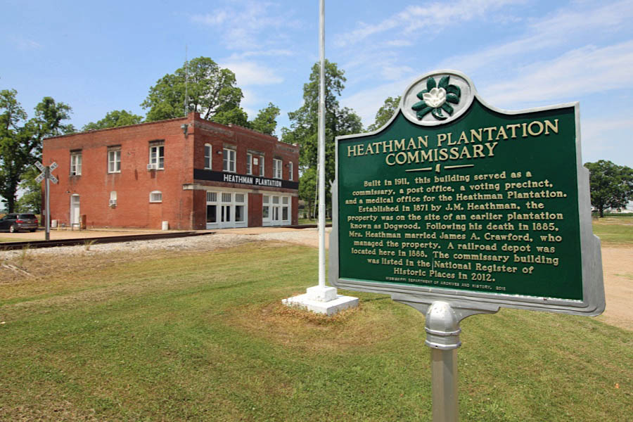
Heathman Plantation Commissary collection
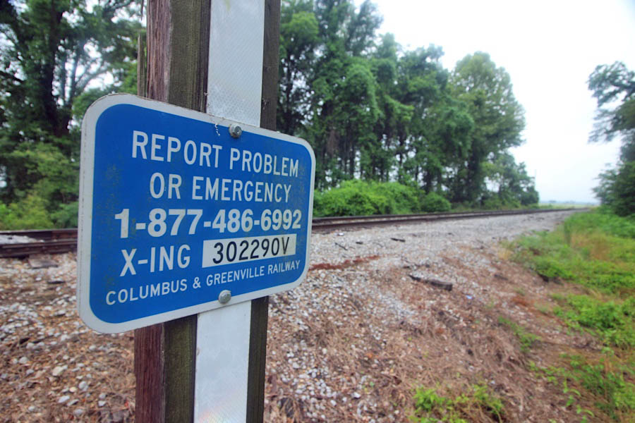
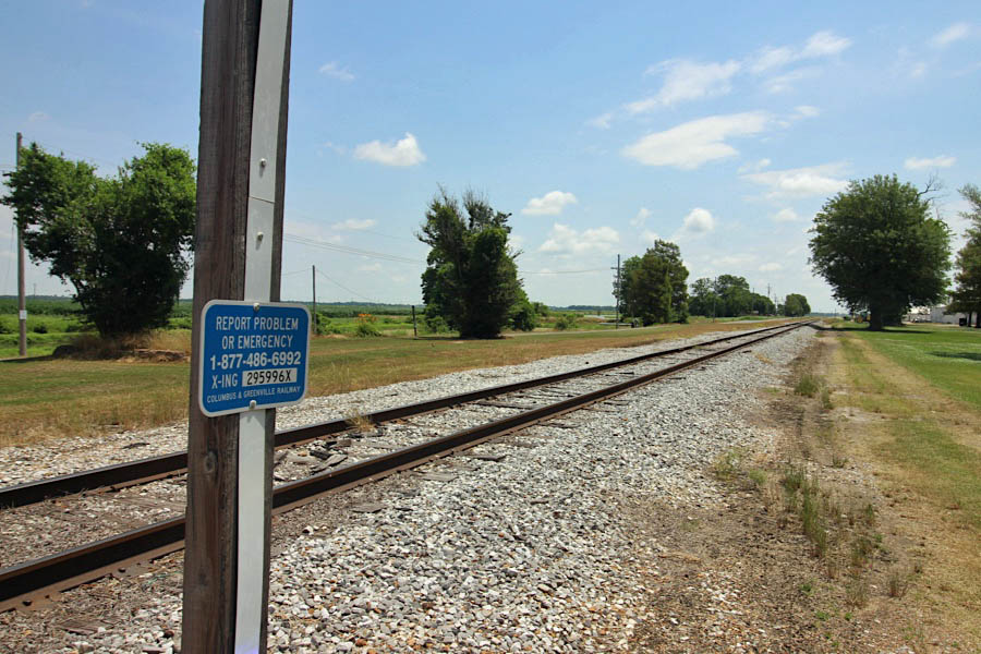
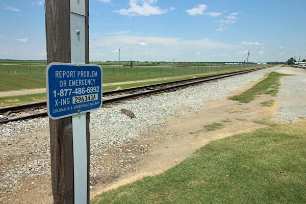
Click to see the village of Heathman plotted on a Google Maps page
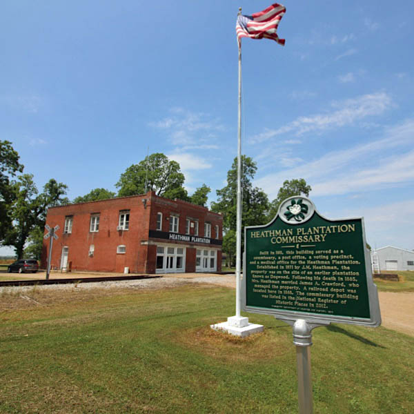
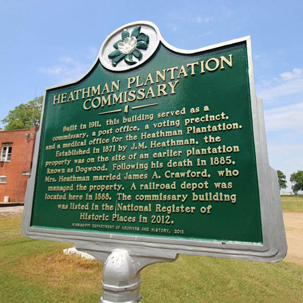
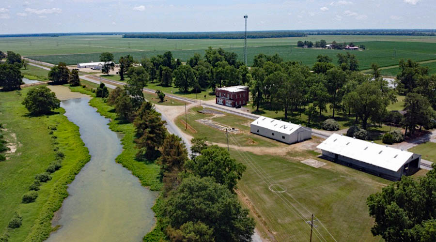
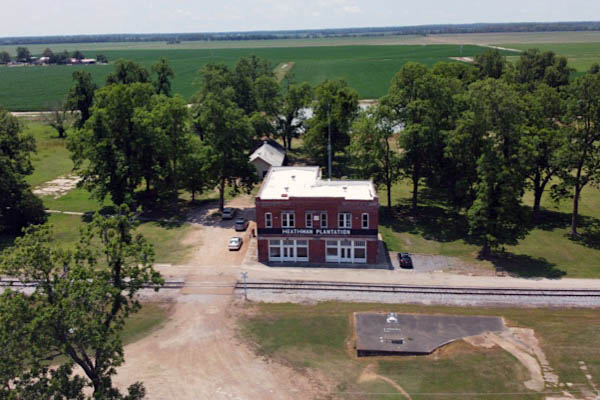
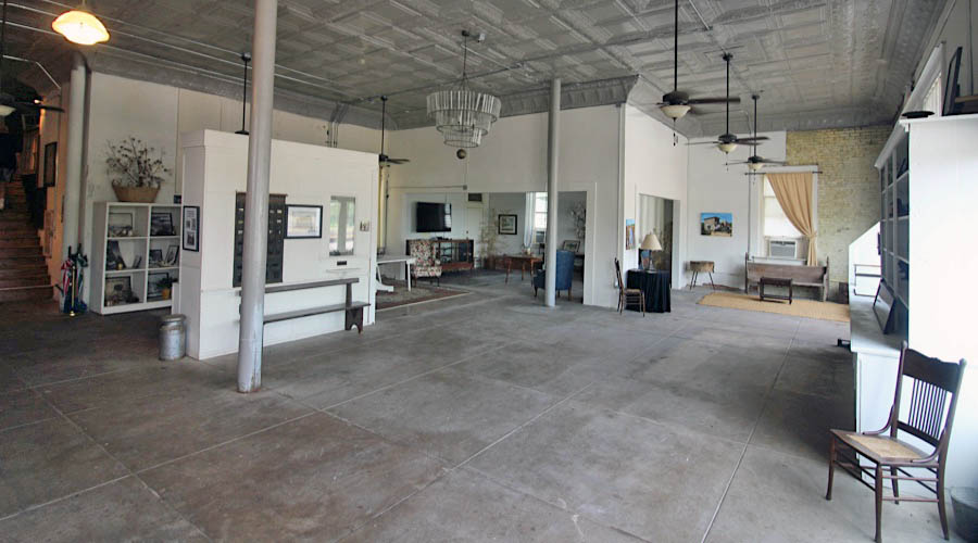
 Heathman Plantation Commissary
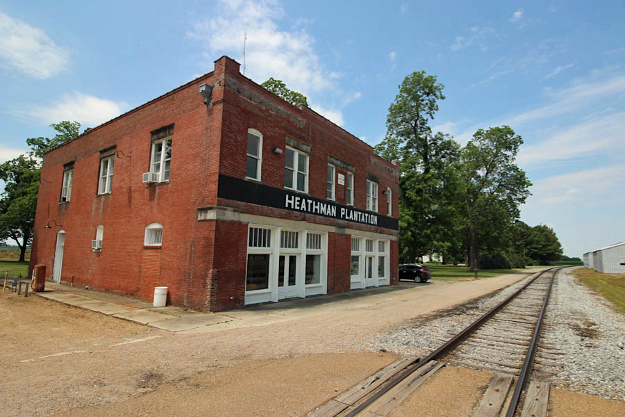
Heathman, Ms / Jun 2020 / RWH
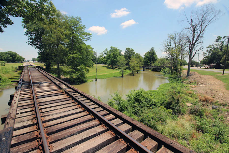
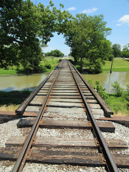
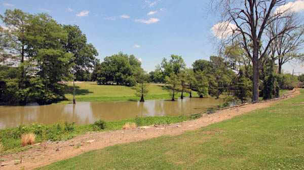
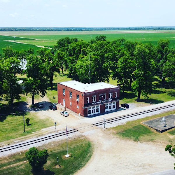 In 1848, James Brown built the Dogwood Ridge Plantation as an 8000-acre cotton plantation. Twenty-three years later, in 1871, James Martin Heathman married Lillie Brown, the daughter of James Brown, and purchased the plantation. He renamed it the Heathman Plantation. It was later owned and operated for some years by the Billups family and was called Billups Plantation. The commissary was added to Heathman in 1911 and is now listed on the U.S. National Register of Historic Places. The commissary is a two-story, 4,000 square foot brick building, surrounded by a stately grove of oak trees. It is also bordered by the beautiful Indian bayou and cotton, corn, and soybean fields.
Heathman, Ms / Jun 2020 / RWH
Jun 2020 / RWH
Jun 2020 / RWH
Heathman, Ms / Jun 2020 / RWH
Heathman, Ms / Jun 2020 / RWH
Heathman, Ms / Jun 2020 / RWH
Heathman, Ms / Jun 2020 / RWH
Heathman, Ms / Jun 2020 / RWH
Heathman, Ms / Jun 2020 / RWH
Jun 2020 / RWH
Jun 2020 / RWH
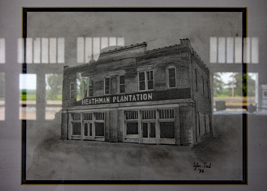
Tyler Neal drawing / Jun 2020 / RWH
Jun 2020 / RWH
HawkinsRails thanks the Heathman Plantation Commissary for a tour of their historic building
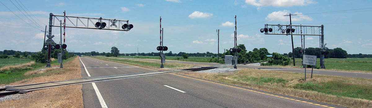
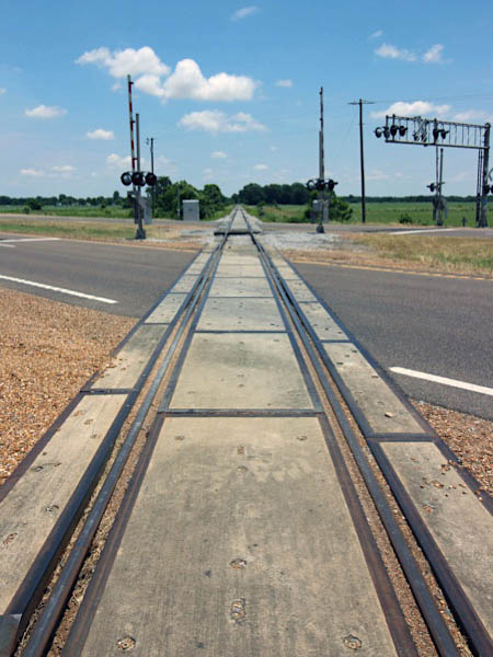
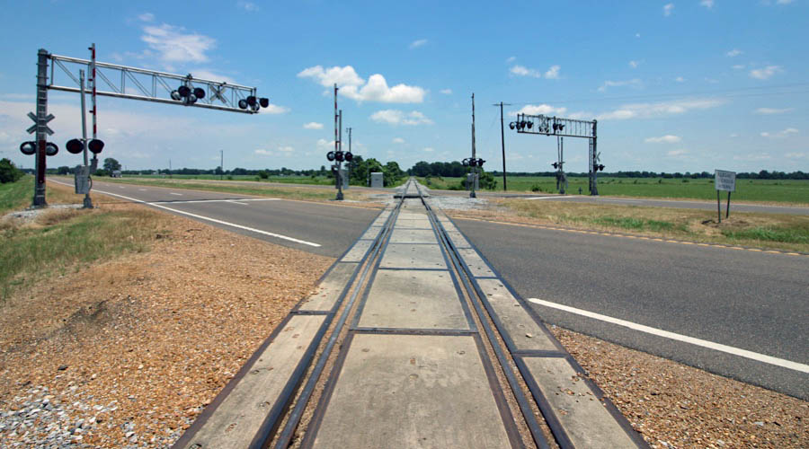
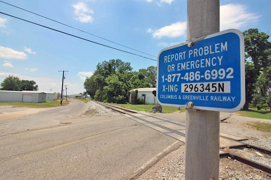
US Route 82 crossing / Heathman, Ms / Jun 2020 / RWH
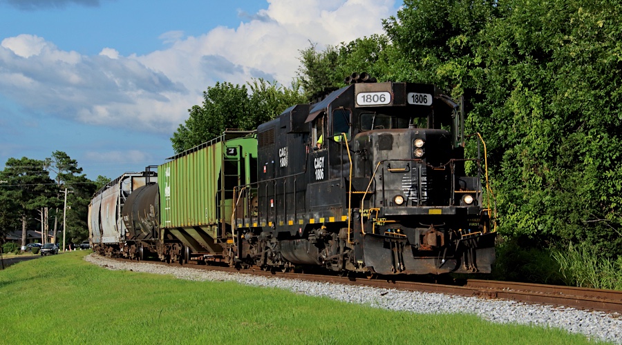
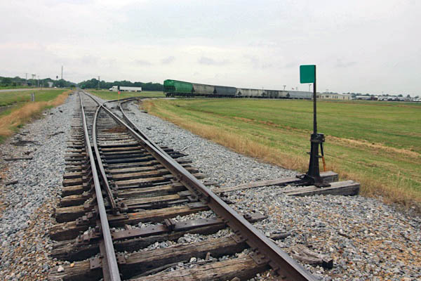
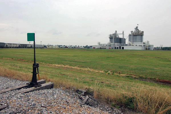
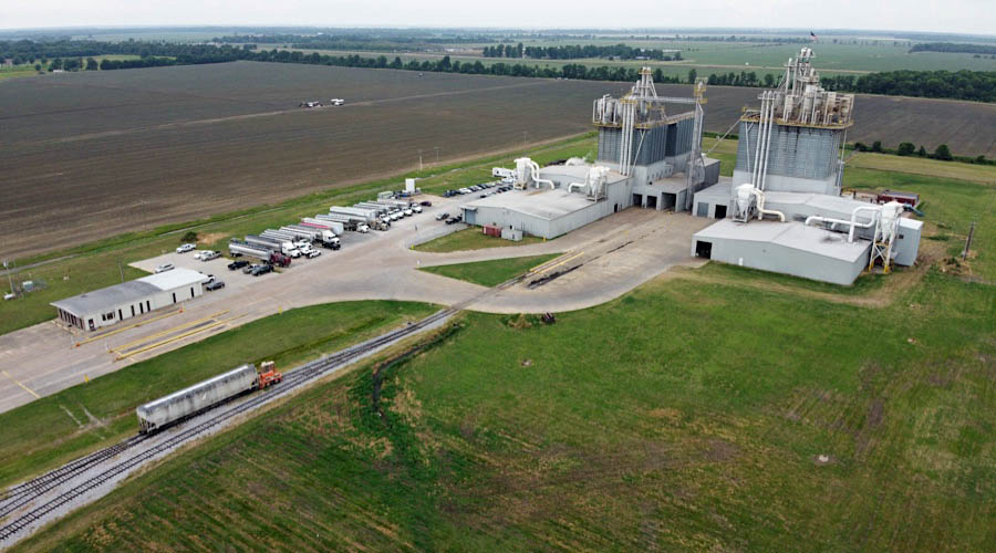
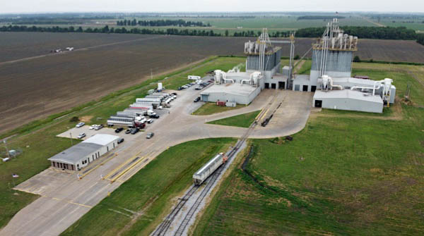
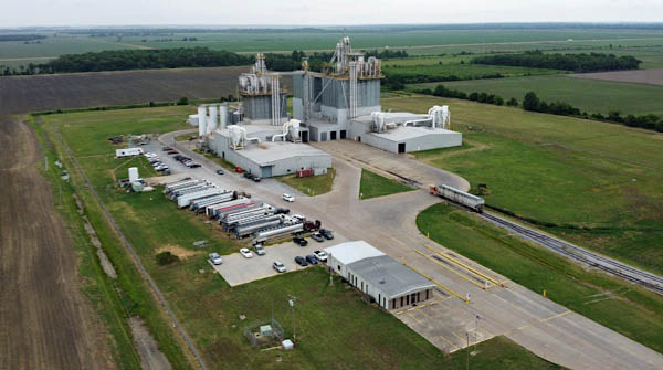
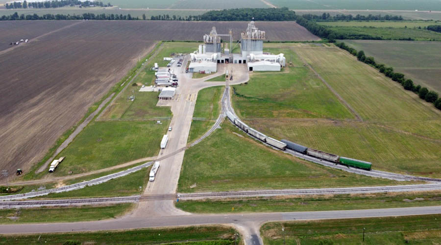
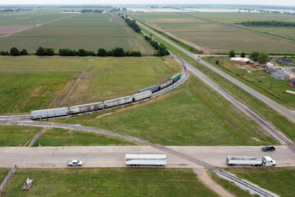
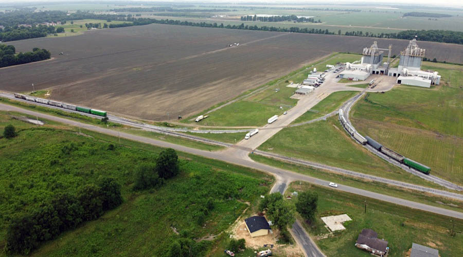
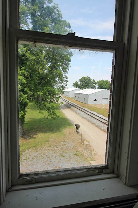
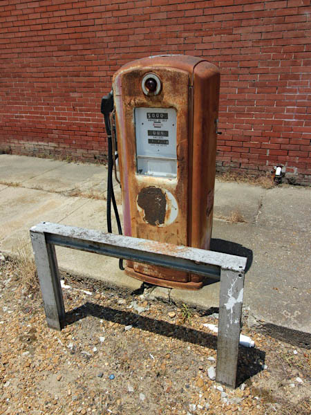
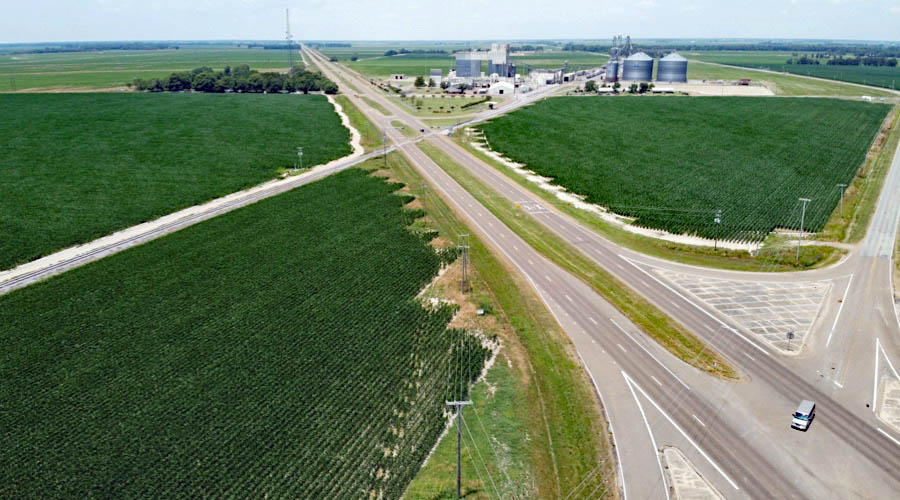
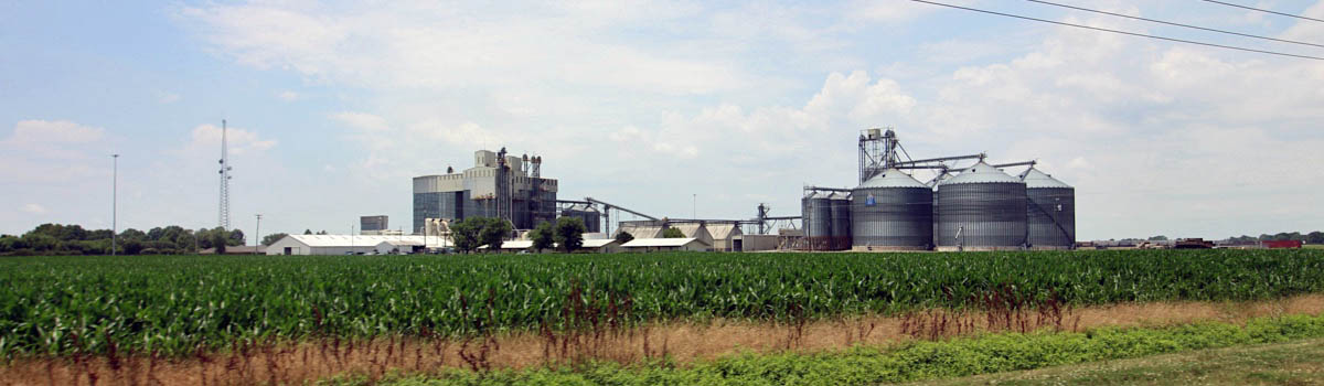
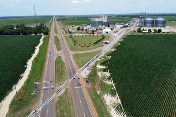
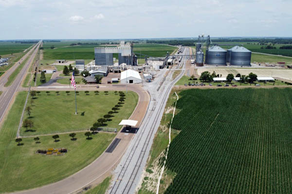
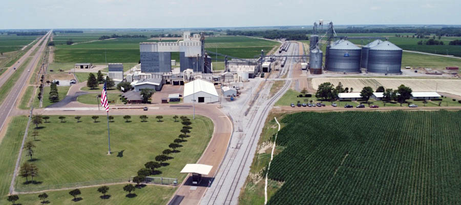
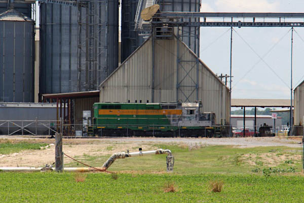
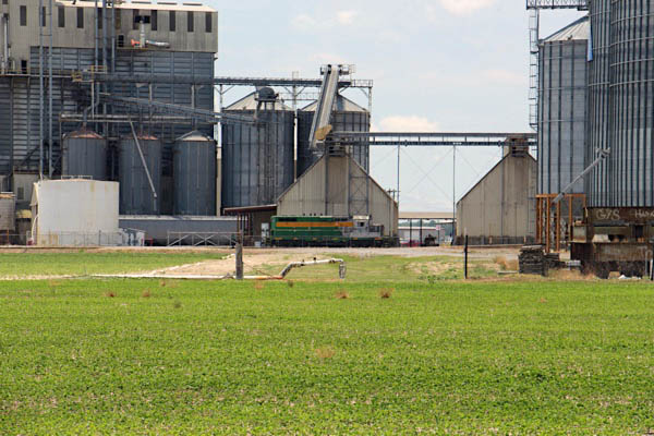
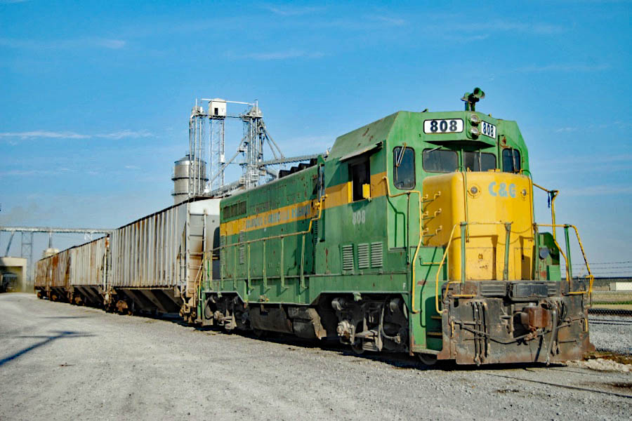
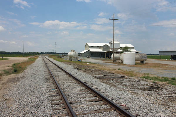
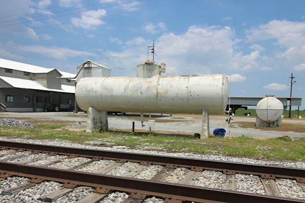
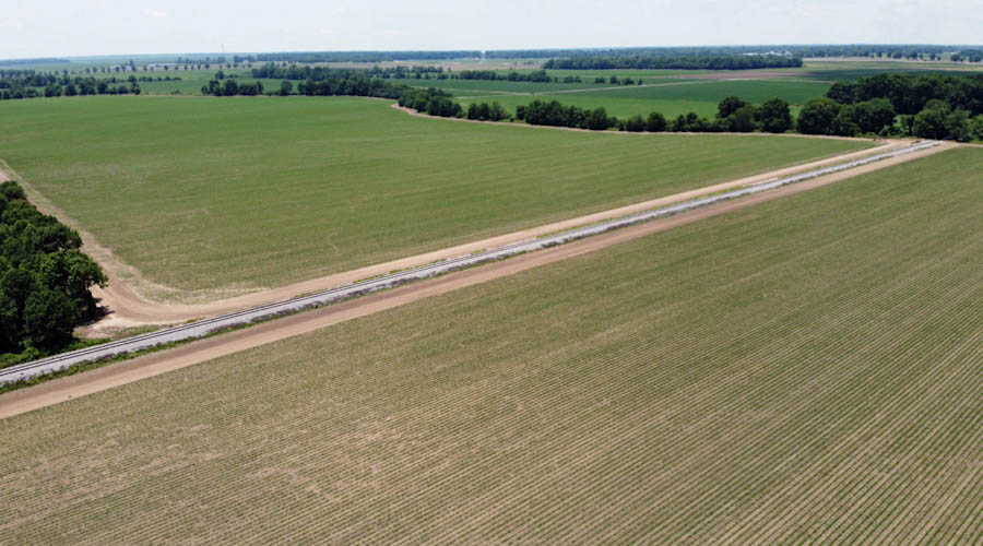
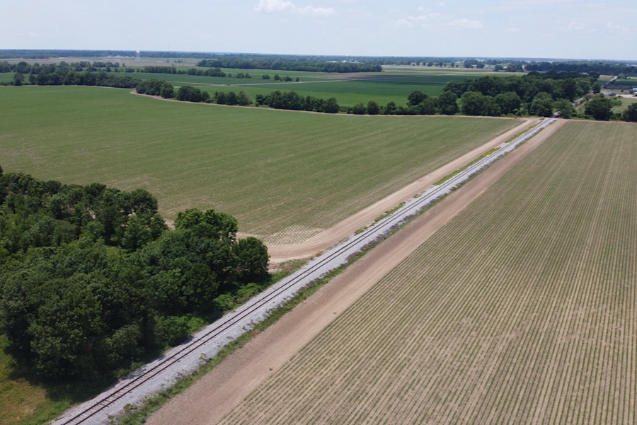
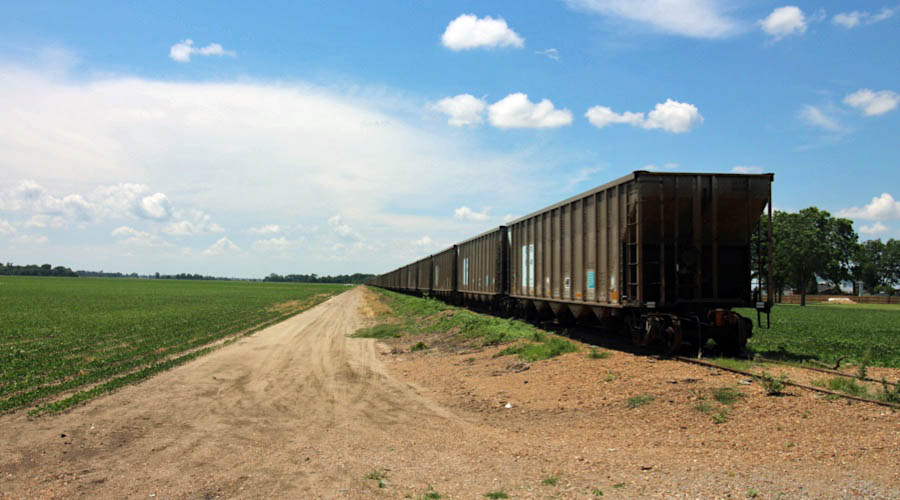
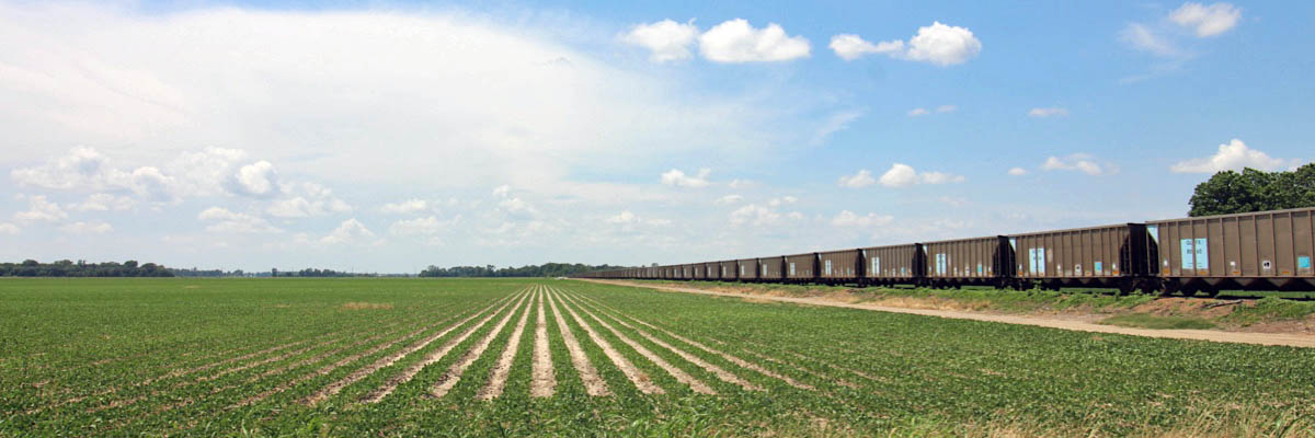
Shipper Spotlight: Delta Western
Heathman, Ms / Jun 2020 / RWH
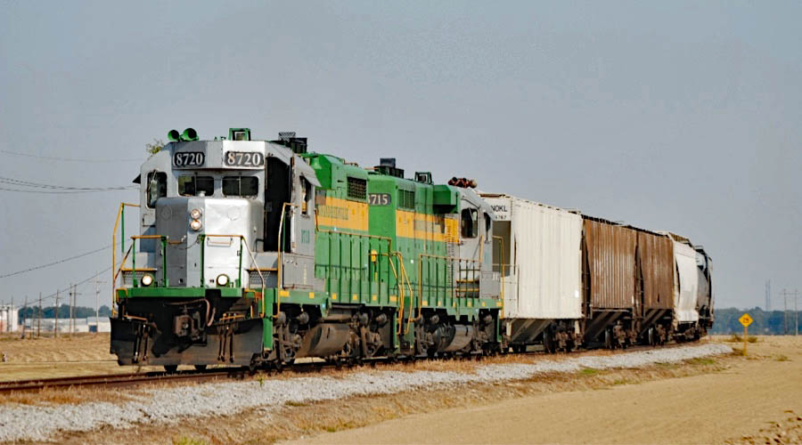
The Delta Western feed mill is one of the Columbus & Greenville's largest customers, and the largest period on the "west end" of the railroad. They make fish feed for numerous catfish ponds in the region and the company has been a loyal customer of the railroad since the mid 1980s. Delta Western owns former CAGY model CF7 #808, which they use for interplant switching. It is still adorned in its full CAGY "John Deer Green" scheme; no paint outs or mark outs to indicate its new owner. (Chris Martin)
Heathman, Ms / Jun 2020 / RWH
Heathman, Ms / Jun 2020 / RWH
Heathman, Ms / Jun 2020 / RWH
Click to see the Delta Western facility plotted on a Google Maps page
Heathman, Ms / Jun 2020 / RWH
Heathman, Ms / Jun 2020 / RWH
Heathman, Ms / Oct 2000 / Louis Saillard
Heathman, Ms / Oct 2010 / William Davis
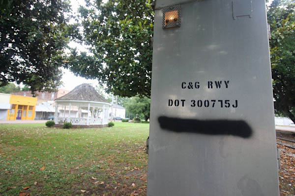
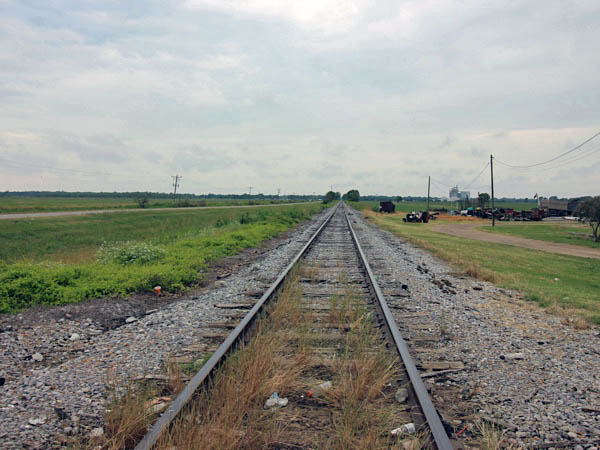
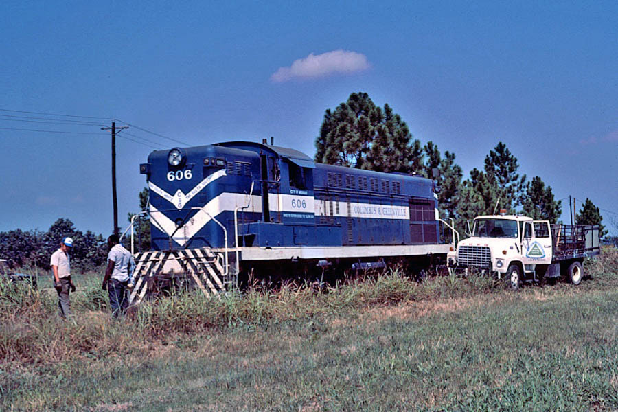
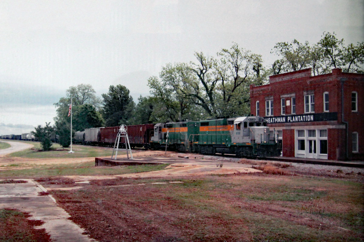
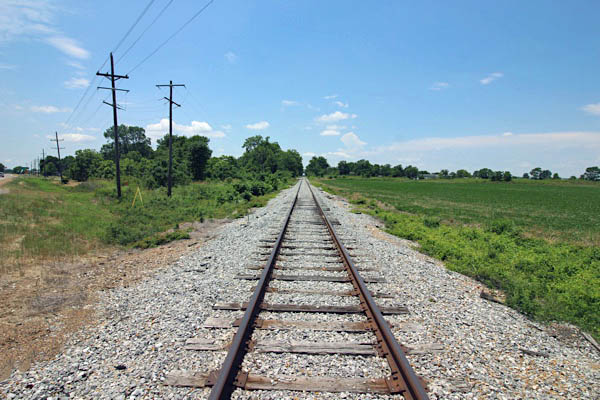
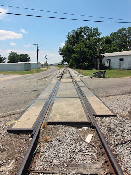
Heathman, Ms / Sep 1972 / collection
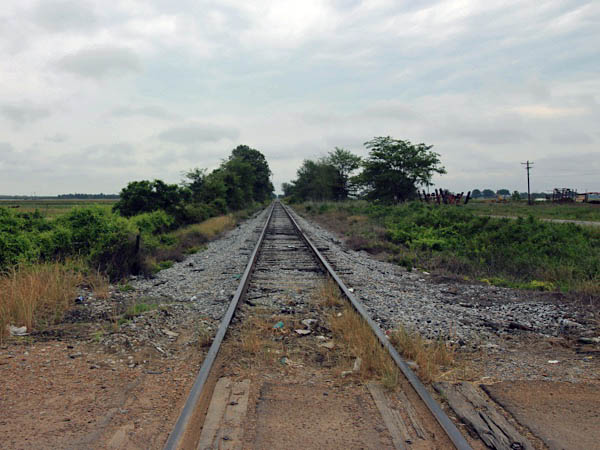
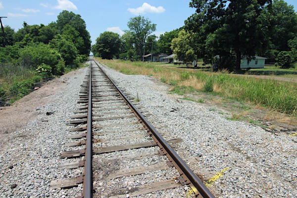
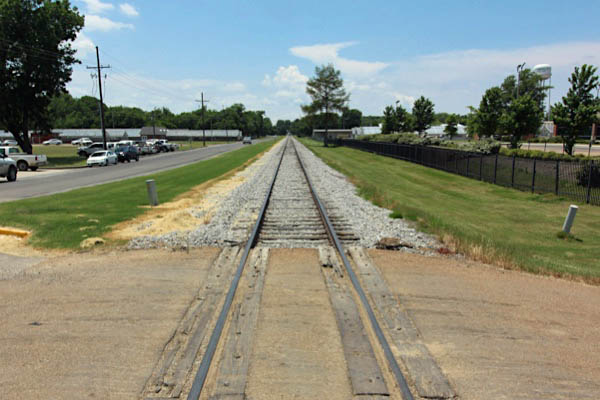
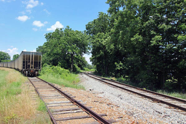
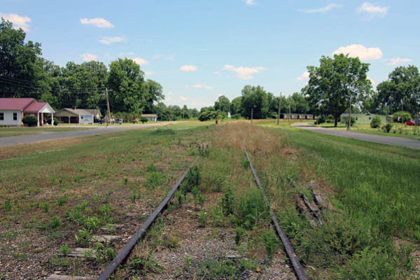
Holly Ridge
Holly Ridge, Ms / Jun 2020 / RWH
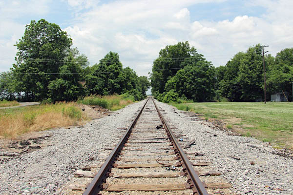
Holly Ridge, Ms / Jun 2020 / RWH
1947 timetable / collection
Click to see the Holly Ridge Holmes Road crossing plotted on a Google Maps page
Holly Ridge, Ms / Jun 2020 / RWH
Holly Ridge, Ms / Jun 2020 / RWH
Holly Ridge, Ms / Jun 2020 / RWH
Holly Ridge, Ms / Jun 2020 / RWH
Holly Ridge, Ms / Jun 2020 / RWH
Holly Ridge, Ms / Jun 2020 / RWH
Holly Ridge, Ms / Jun 2020 / RWH
 Dunleith
Dunleith, Ms / Jun 2020 / RWH
Click to see the crossing at Dunleith plotted on a Google Maps page
Dunleith, Ms / Jun 2020 / RWH
Dunleith, Ms / Jun 2020 / RWH
Dunleith, Ms / Jun 2020 / RWH
Dunleith, Ms / Jun 2020 / RWH
Dunleith, Ms / Jun 2020 / RWH
Click to see the Bogue Phalia bridge plotted on a Google Maps page
Dunleith, Ms / Seo 1982 / Louis Saillard
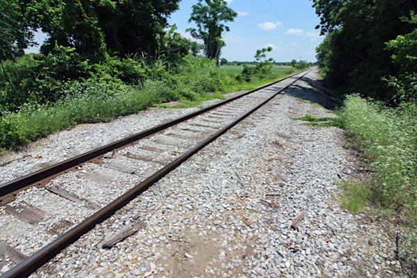
Rexburg
Rexburg, Ms / Jun 2020 / RWH
Where art thy field?

web
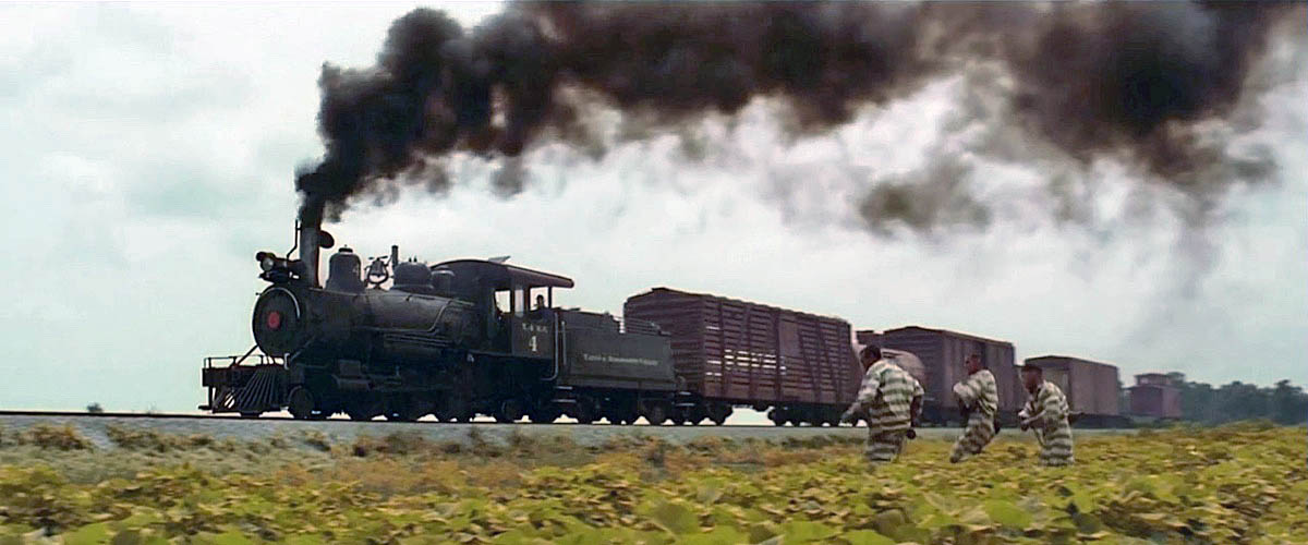
O Brother, Where Art Thou?
Homer’s Odyssey set in Depression-era Deep South, with a title taken from the socially-conscious movie Joel McCrea intends to make in Preston Sturges’ 1941 Sullivan’s Travels, and the presence of Johns Goodman and Turturro, it can only be the Coen brothers.
Using a revolutionary digital colour manipulation process, and accompanied by a soundtrack which unexpectedly turned out to be a smash, the Coens’ picaresque tale was shot in almost entirely in central Mississippi, around the Jackson area.
Escaping a chain gang, Everett (George Clooney), Pete (John Turturro) and Delmer (Tim Blake Nelson) survive by snatching a chicken from a little farmhouse, which is Tilda Bogue, off Davis Crossing Road, about five miles north of Canton between US 51 North and I-55 North.
The three attempt the time honoured hobo tradition of jumping aboard a freight train, but fail spectacularly, settling for a handcar driven by a blind old-timer who makes wild predictions about their future. The scene was filmed at Leland, east of Greenville, on the Columbus & Greenville Railway, which runs east-west across the middle of the state.
Rexburg, Ms / Jun 2020 / RWH
Rexburg, Ms / Jun 2020 / RWH
Rexburg, Ms / Jun 2020 / RWH

Click to see the O Brother filming location plotted on a Google Maps page
web
Rexburg, Ms / Jun 2020 / RWH
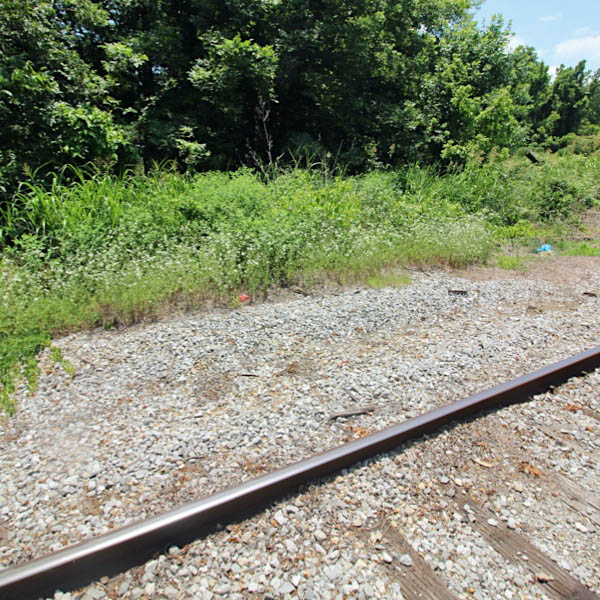
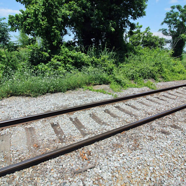
 Elizabeth
Elizabeth, Ms / Jun 2020 / RWH
Jun 2020 / RWH
Elizabeth, Ms / Jun 2020 / RWH
Elizabeth, Ms / Jun 2020 / RWH
Click to see the US Route 61 / 278 crossing plotted on a Google Maps page
Elizabeth, Ms / Jun 2020 / RWH
1920 Sou Rwy in Miss route map / collection
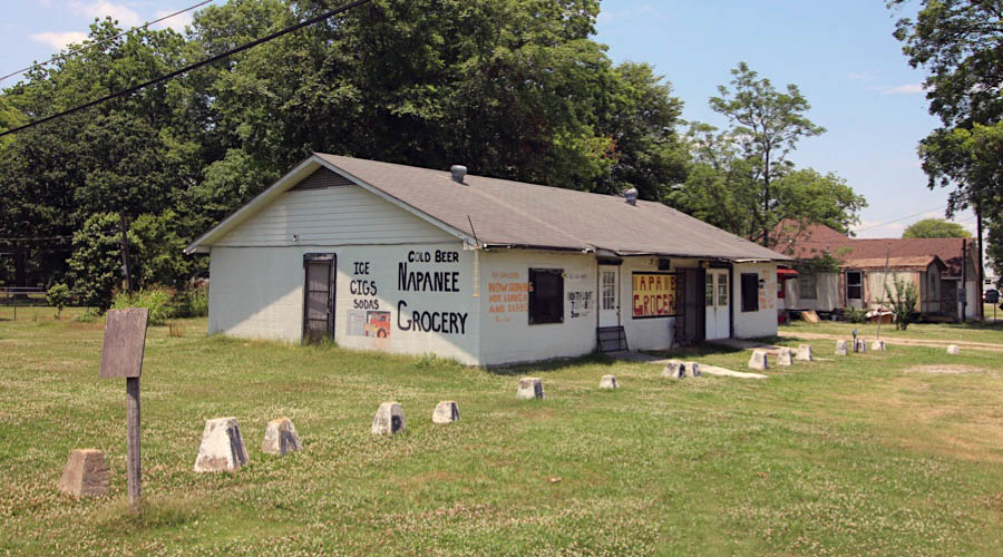
Elizabeth, Ms / Jun 2020 / RWH
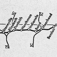
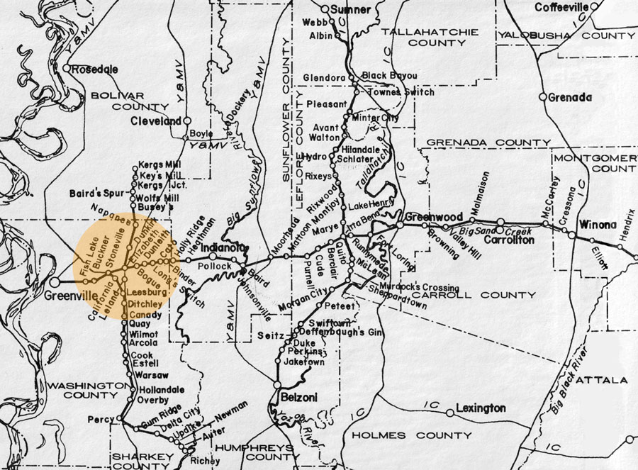
The small Delta community of Elizabeth was a busy railroad town in the first quarter of the 20th century. In addition to the Southern Railway in Mississippi east-west mainline, the Yazoo & Mississippi Valley Railroad crossed the SRM in Elizabeth. This line, one of two going south to Vicksburg, connected Delta communities with Memphis in the north. Additionally, the Southern operated two branchline that connected to the mainline either at or near Elizabeth. From Elizabeth one went north as far as Kergs Mill. To the south, another branchline left the main at nearby Stoneville (below) and travelled south to Percy, then to Richey on the Big Sunflower River. Neither branch would last long in the Columbus & Greenville era. However, after the formation of the Illinois Central Gulf in the 1970s, the new CAGY would in the 1980s wind up operating portions of the former Y&MV and IC north-south lines in the same region (to Cleveland and Hollandale, respectively). Northing remains in Elizabeth today of any of these junctions.
Elizabeth, Ms / Jun 2020 / RWH
Elizabeth, Ms / Jun 2020 / RWH
Click to see the Napanee Road crossing plotted on a Google Maps page
Jun 2020 / RWH
Elizabeth, Ms / Jun 2020 / RWH
Elizabeth, Ms / Jun 2020 / RWH
Elizabeth, Ms / Jun 2020 / RWH
1910 Official Guide ad / collection
Elizabeth, Ms / Jun 2020 / RWH
Click to see the former C&G - Y&MV diamond area plotted on a Google Maps page
 Stoneville

Stoneville depot / 1917 inspection / collection
Jun 2020 / RWH
Stoneville, Ms / Jun 2020 / RWH
Stoneville, Ms / Jun 2020 / RWH
1947 timetable / collection
Click to see the Experiment Station Road area plotted on a Google Maps page
Stoneville, Ms / Jun 2020 / RWH
Stoneville, Ms / Jun 2020 / RWH
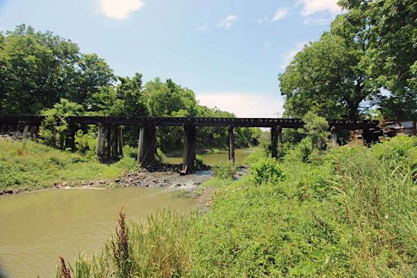
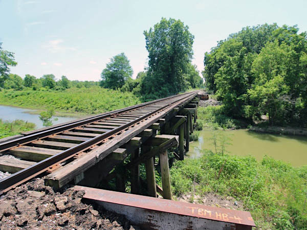
Click to see the Deer Creek bridge area plotted on a Google Maps page
Jun 2020 / RWH
Stoneville, Ms / Jun 2020 / RWH
Stoneville, Ms / Jun 2020 / RWH
Stoneville, Ms / Jun 2020 / RWH
Stoneville, Ms / Oct 2010 / Chris Martin
Stoneville, Ms / Jun 2020 / RWH
Click to see the Old Leland Road crossing plotted on a Google Maps page
Jun 2020 / RWH
Stoneville, Ms / Jun 2020 / RWH
Stoneville, Ms / Jun 2020 / RWH
Sou Rwy in Miss route map / collection
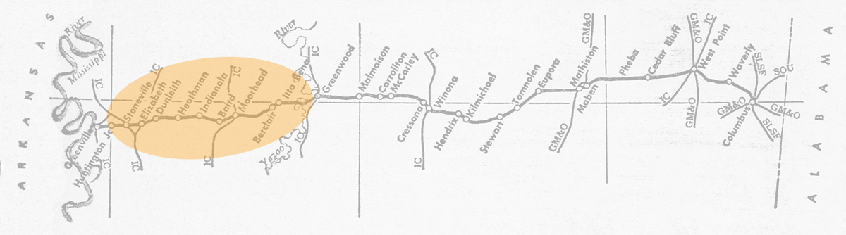
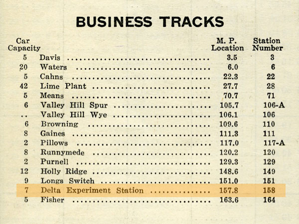
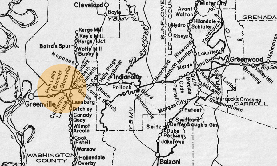
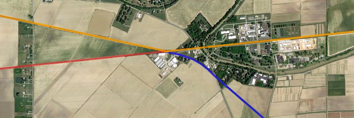
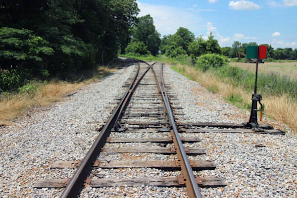
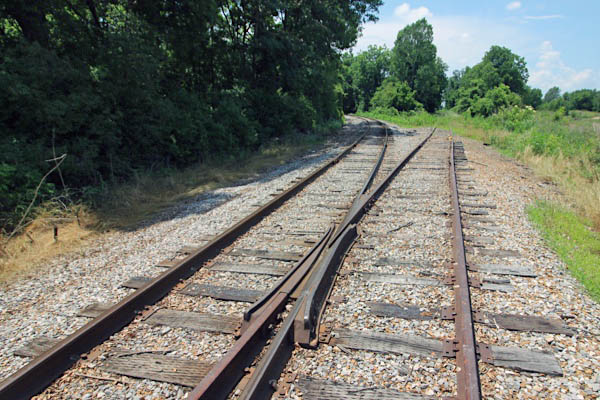
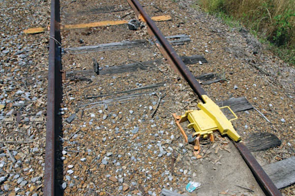
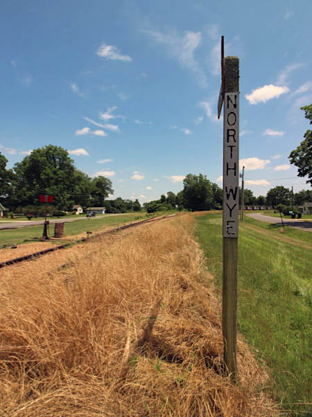
Until the Illinois Central Gulf takeover of the Columbus & Greenville in the early 1970s, at Stoneville the C&G continued to the southwest (red, below) through Buckner and Fish Lake toward Greenville. This was the original Southern Railway in Mississippi right of way, which itself was built on the route of the narrow gauge Greenville, Columbus & Birmingham Railroad. Meanwhile, the Yazoo & Mississippi Valley's short Leland District crossed the C&G mainline here at Stoneville, continuing to the west toward Greenville Junction (blue, below). The post Illinois Central Gulf era and the new CAGY in the late 1970s brought many route changes to the entire Delta region, one of which was the closure of a large segment of the CAGY mainline between Stoneville and Greenville. Instead, CAGY trains diverted over the former Y&MV line to Metcalfe, also known as Greenville Junction and later Great River Junction (orange, below). From there they turned southwest into Greenville over the former Y&MV Riverside district. This remains the routing for westbound CAGY trains, with the remaining original CAGY mainline from Stoneville west used for car storage.
Stoneville, Ms / Jun 2020 / RWH
Google Maps
Click to see the former C&G - Y&MV diamond plotted on a Google Maps page
Jun 2020 / RWH
Stoneville, Ms / Jun 2020 / RWH
Stoneville, Ms / Jun 2020 / RWH
Magenta
Magenta, Ms / Jun 2020 / RWH
Click to see the Old Leland Road crossing plotted on a Google Maps page
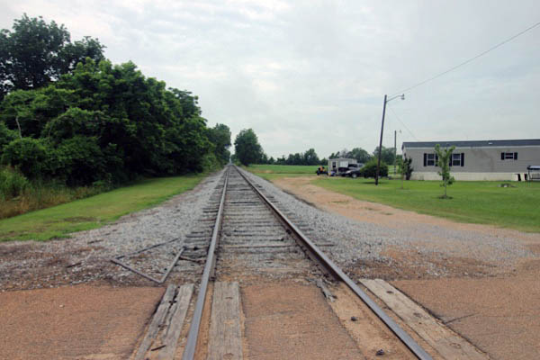
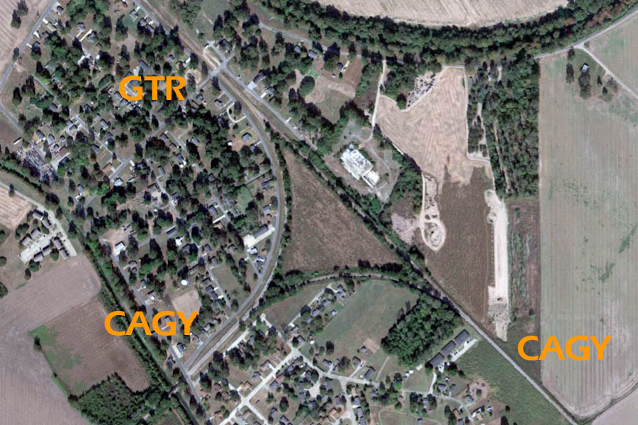
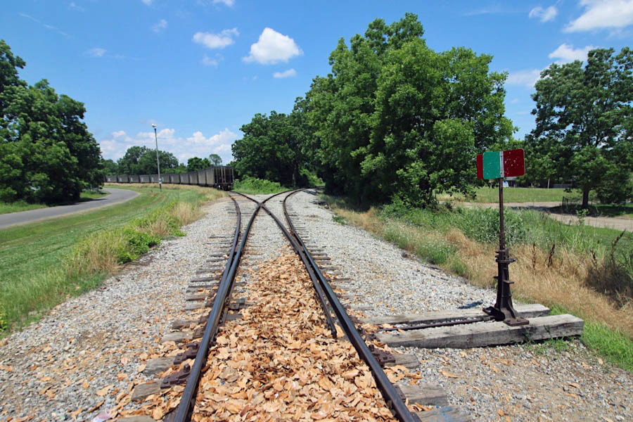
 Metcalfe
Metcalfe, Ms / Oct 2010 / Chris Martin
Metcalfe overhead / RWH
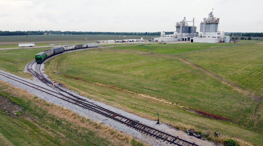
The wye at Metcalfe, Mississippi, belonged to the Yazoo & Mississippi Valley, where its Riverside District mainline (Vicksburg to Memphis) met the smaller Leland District branch. Both lines would pass through the Illinois Central into the Illinois Central Gulf merger. By the 1980s, however, the Columbus & Greenville used the southeast and southwest corners of the wye to access Greenville — bypassing their former mainline from the Stoneville into town. Furthermore, the shortline Great River Railroad was formed in 1979 to operate a segment of the Y&MV Riverside District — from the port at Rosedale, Mississippi, south to the wye at Metcalfe. During this period the wye was known in timetables as Great River Junction. Although the Great River Railroad has been out of service since 2001, as of spring 2021 there are plans for its rehabilitation. This would once again make Metcalfe a rare interchange point between two shortlines.
Click to see the Metcalfe wye area plotted on a Google Maps page
eastward view / Metcalfe, Ms / Jun 2020 / RWH
southeast leg / Metcalfe, Ms / Jun 2020 / RWH
Metcalfe, Ms / Jun 2020 / RWH
Metcalfe, Ms / Jun 2020 / RWH
Metcalfe, Ms / Jun 2020 / RWH
southwest leg / Metcalfe, Ms / Jun 2020 / RWH
Metcalfe, Ms / Jun 2020 / RWH
Metcalfe, Ms / Jun 2020 / RWH
Metcalfe, Ms / Aug 2012 / William Davis
Jun 2020 / RWH
Metcalfe, Ms / Jun 2020 / RWH
Metcalfe, Ms / Jun 2020 / RWH
northwest leg / Metcalfe, Ms / Jun 2020 / RWH
Metcalfe, Ms / Jun 2020 / RWH
Metcalfe, Ms / Jun 2020 / RWH
Metcalfe, Ms / Jun 2020 / RWH
Metcalfe, Ms / Jun 2020 / RWH
See also our Great River Railroad scrapbook in Shortlines
Metcalfe, Ms / Jun 2020 / RWH
Metcalfe, Ms / Jun 2020 / RWH
See next our Greenville Mississippi scrapbook to finish the Delta Route line