




 Kitty Bryan Dill Memorial Parkway
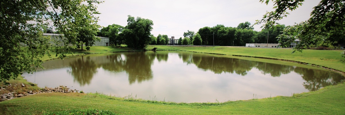
West Point, Ms / Jun 2020 / RWH
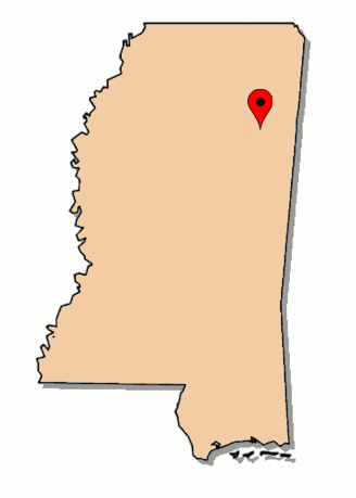
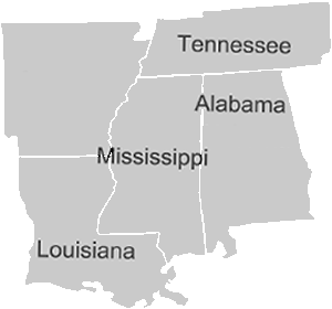
 he Kitty Bryan Dill Memorial Parkway is a rails-to-trails path that extends 3.75 miles through the eastern Mississippi community of West Point. The paved trail links five local parks along the former right-of-ways of the Columbus & Greenville and Mobile & Ohio railroads. The trail begins at South Eshman Avenue and follows the former Columbus & Greenville route west through town. At the location of the former crossing with the Mobile & Ohio (later Gulf, Mobile & Ohio), the trail turns southeast and follows the M&O route as far as East Church Hill Road. In 2005, the Kitty Dill Memorial Parkway was designated by the US Department of the Interior as a National Recreational Trail. The former Illinois Central depot still stands in town, now called the Sam Wilhite Transportation Museum in honor of the longtime Columbus & Greenville Railway chairman and president who steered the shortline through the 1970s and 80s.
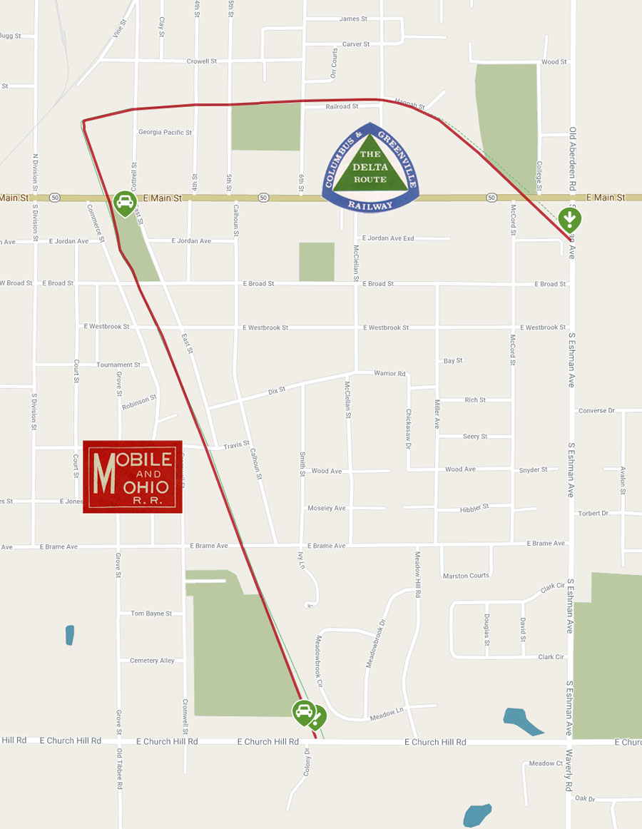
adapted from Trail Link Rails-to-Trails map / web
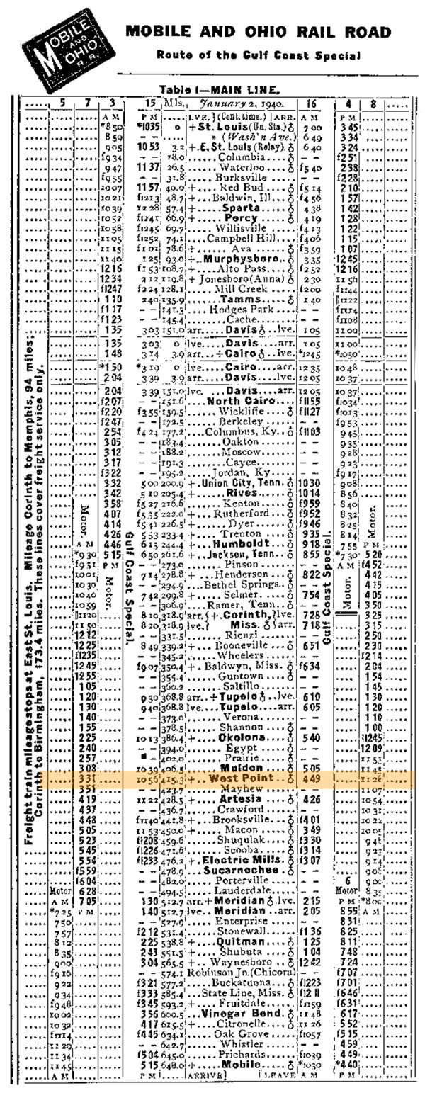
1940 Official Guide ad / collection

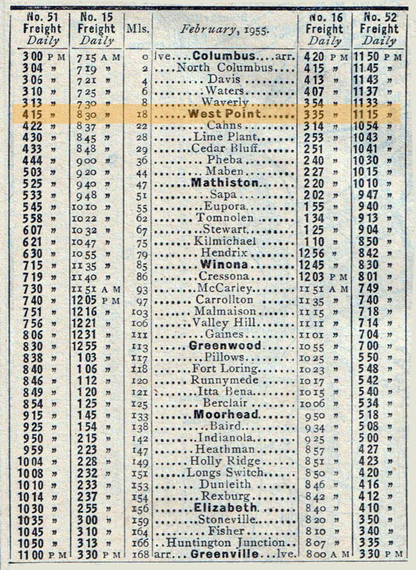
1955 Official Guide ad / collection
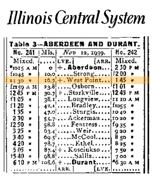
1940 Official Guide ad / collection
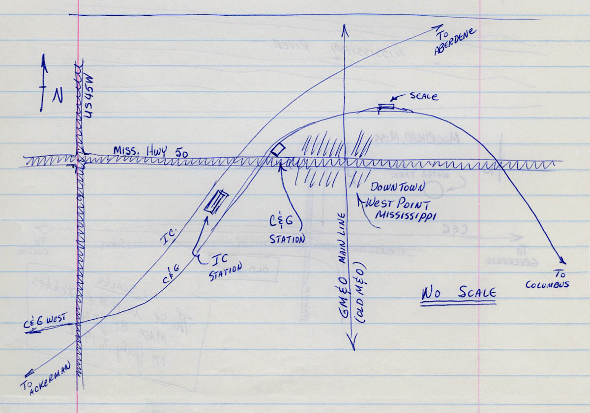
West Point notes / 1972 / JCH

See also our Columbus & Greenville and Mobile & Ohio railfan scrapbooks
 Eshman Avenue
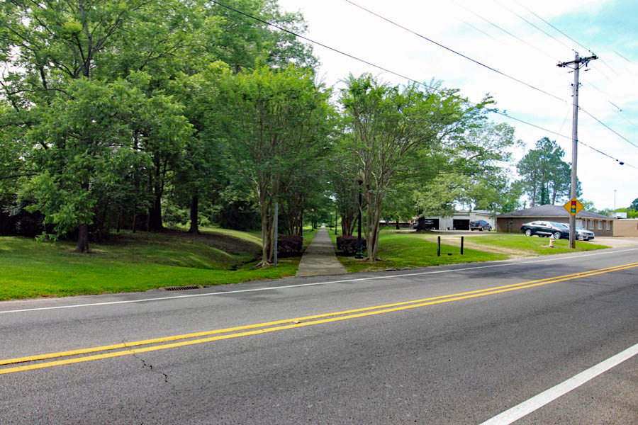
westbound view / West Point, Ms / Jun 2020 / RWH

Click to see this location plotted on a Google Maps page
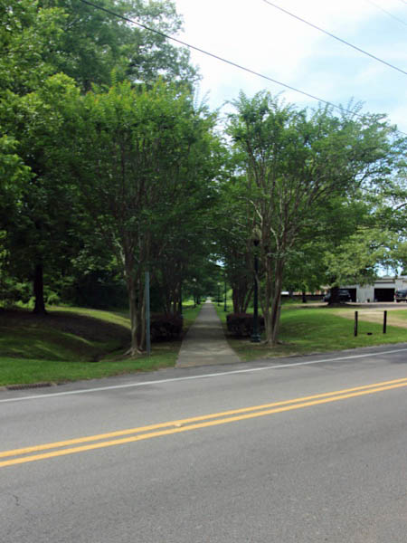
westbound view / Jun 2020 / RWH
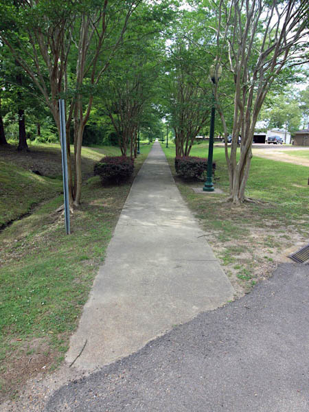
westbound view / Jun 2020 / RWH
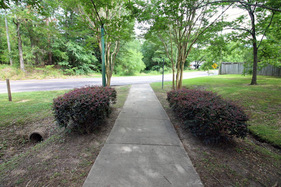
eastbound view / West Point, Ms / Jun 2020 / RWH
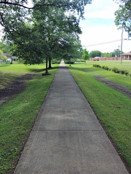
westbound view / Jun 2020 / RWH
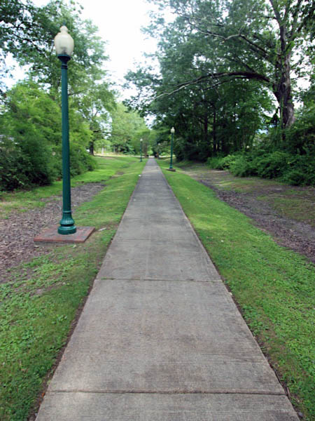
eastbound view / Jun 2020 / RWH
 East Main Street
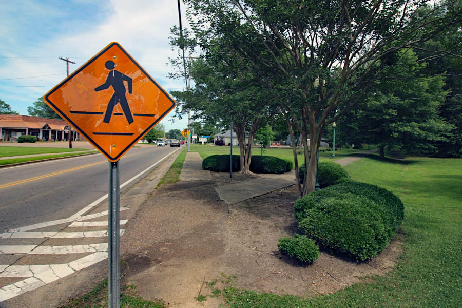
eastbound view / West Point, Ms / Jun 2020 / RWH
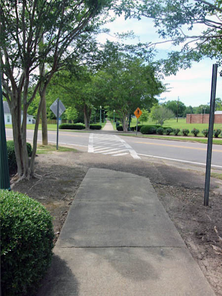
westbound view / Jun 2020 / RWH
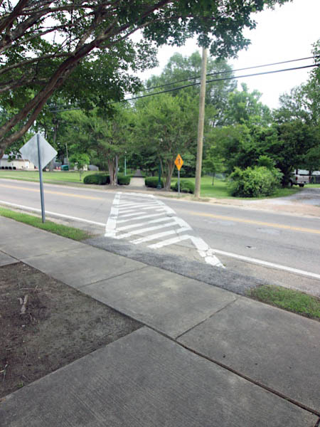
eastbound view / Jun 2020 / RWH

Click to see this location plotted on a Google Maps page
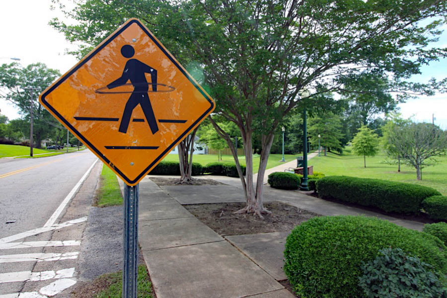
westbound view / West Point, Ms / Jun 2020 / RWH
 Martin Luther King Drive
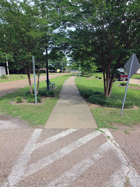
eastbound view / Jun 2020 / RWH
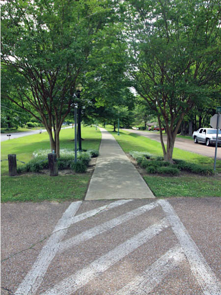
westbound view / Jun 2020 / RWH

Click to see this location plotted on a Google Maps page
 Sixth Street
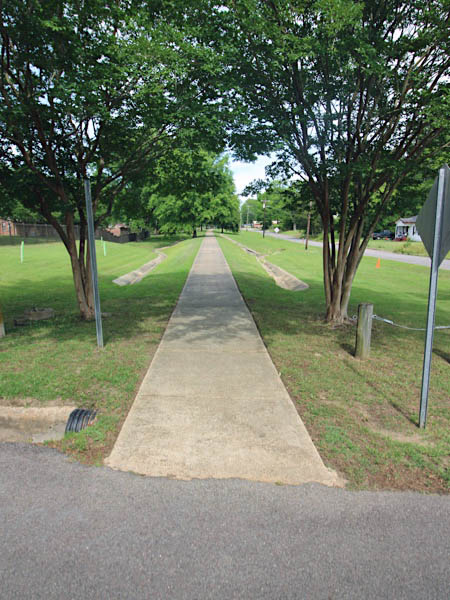
eastbound view / Jun 2020 / RWH
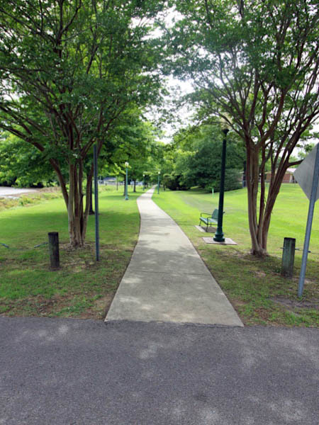
westbound view / Jun 2020 / RWH

Click to see this location plotted on a Google Maps page
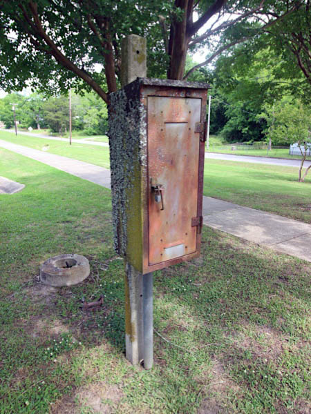
signal box / Jun 2020 / RWH
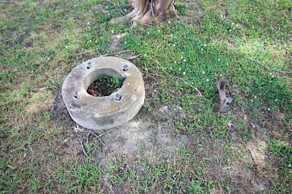
signal base / Jun 2020 / RWH
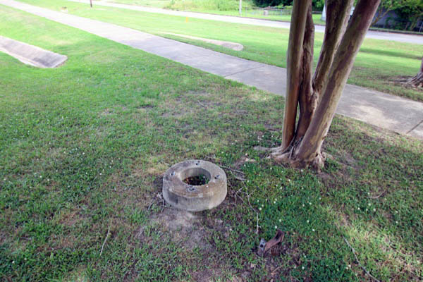
Jun 2020 / RWH
 Fifth Street
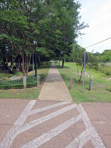
eastbound view / Jun 2020 / RWH
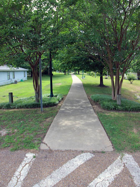
westbound view / Jun 2020 / RWH

Click to see this location plotted on a Google Maps page
 Cottrell Street
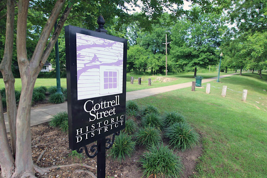
eastbound view / West Point, Ms / Jun 2020 / RWH

Click to see this location plotted on a Google Maps page
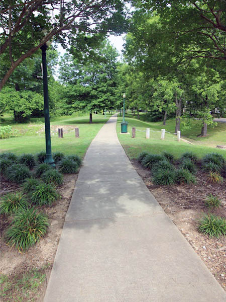
eastbound view / Jun 2020 / RWH
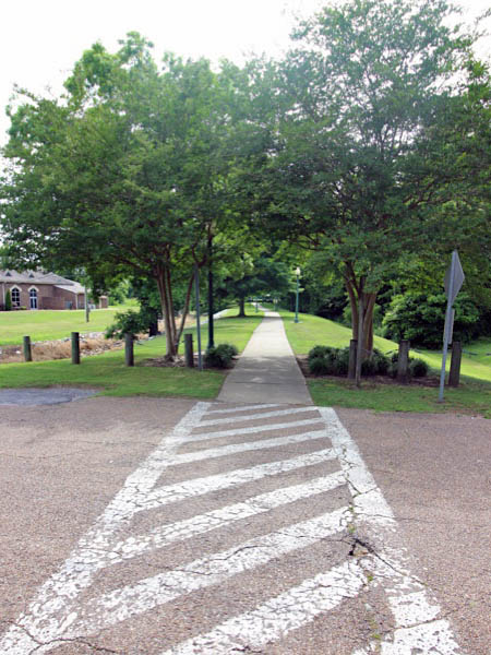
westbound view / Jun 2020 / RWH
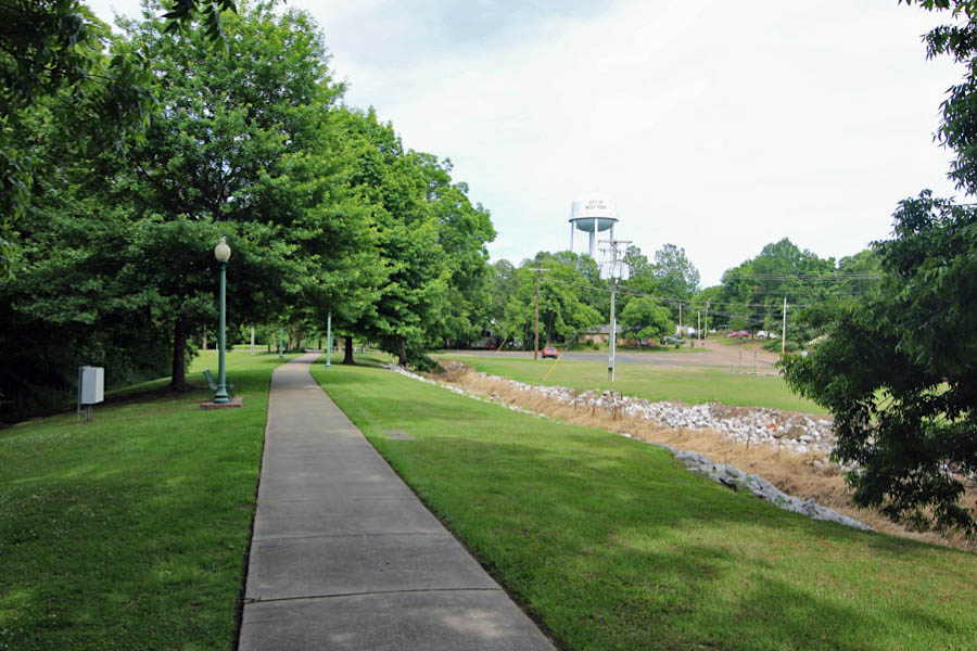
eastbound view / West Point, Ms / Jun 2020 / RWH
 M&O Crossing
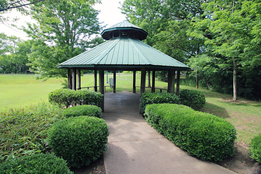
crossing location / West Point, Ms / Jun 2020 / RWH
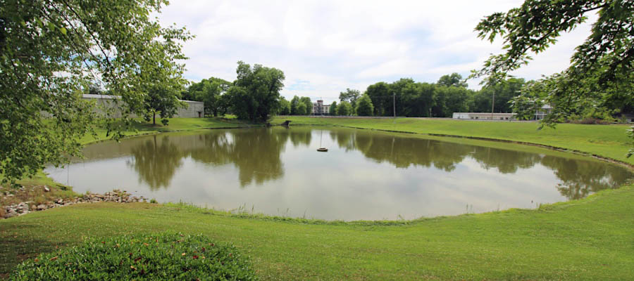
West Point, Ms / Jun 2020 / RWH
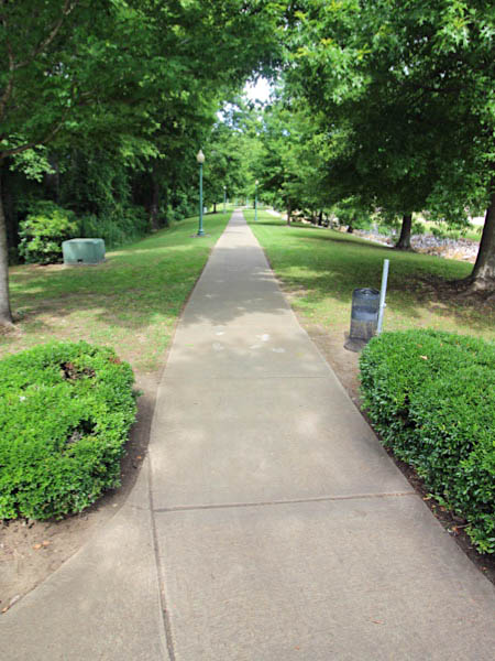
eastbound C&G view / Jun 2020 / RWH
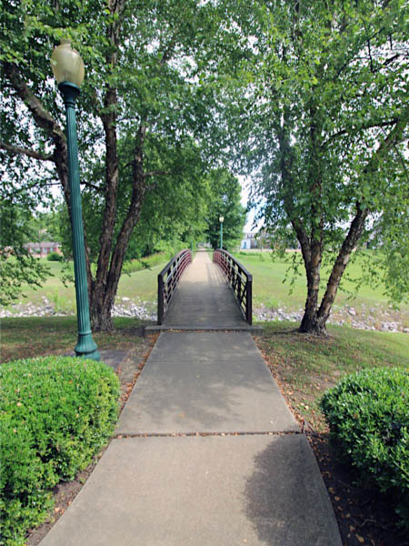
southbound M&O view / Jun 2020 / RWH

See also our Columbus & Greenville Eastern Towns scrapbook for more West Point images

