Pittsburgh
|
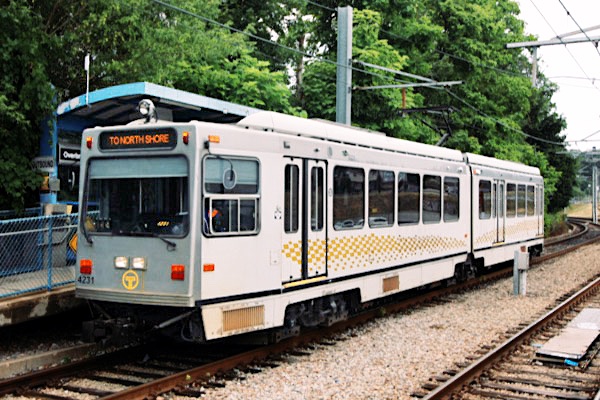
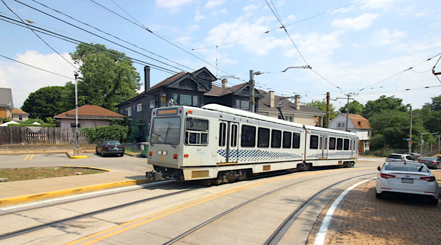
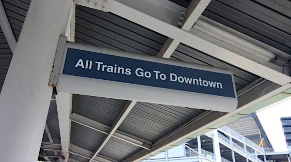
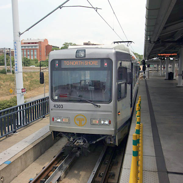
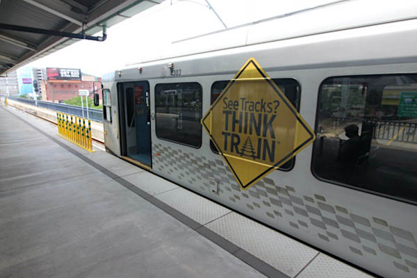
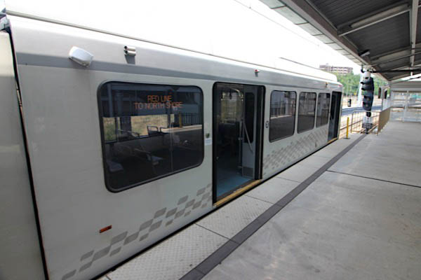
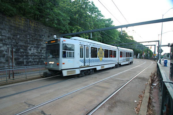
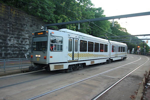
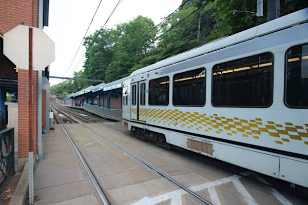
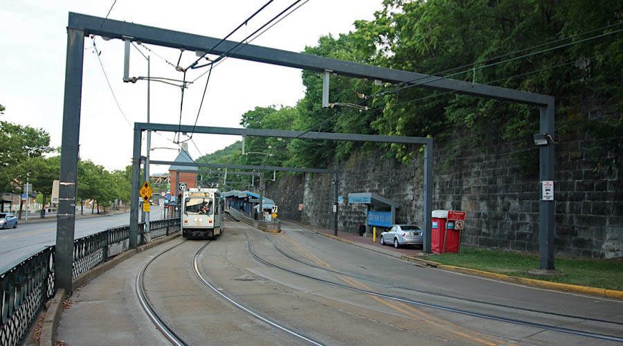
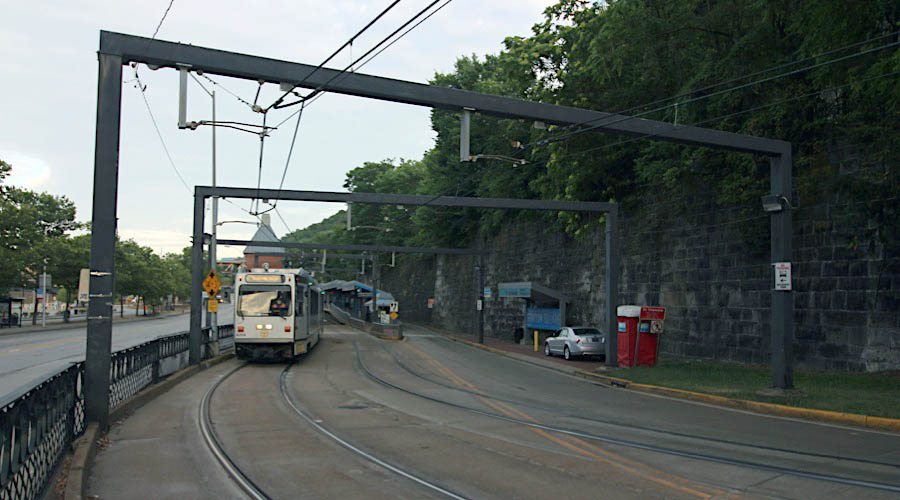
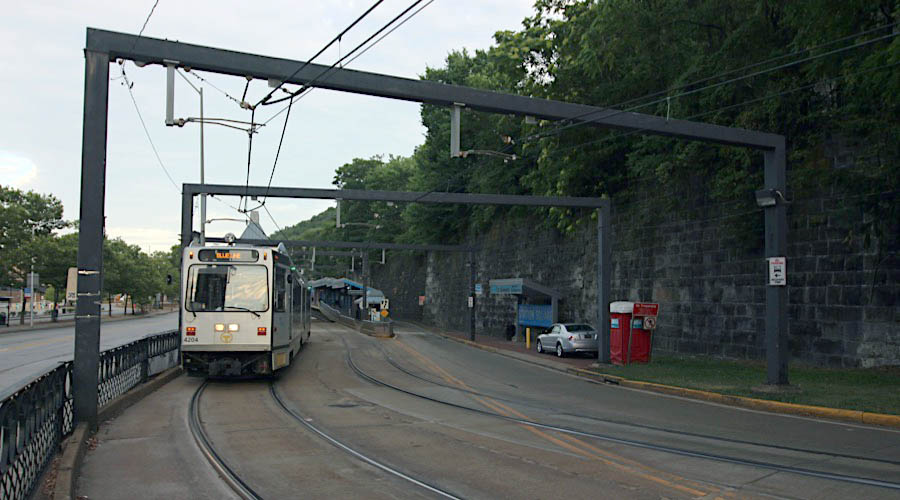
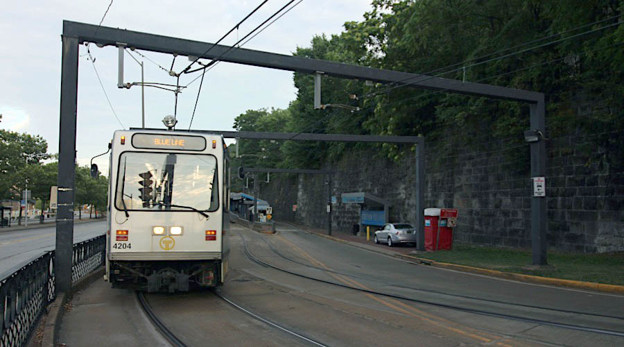
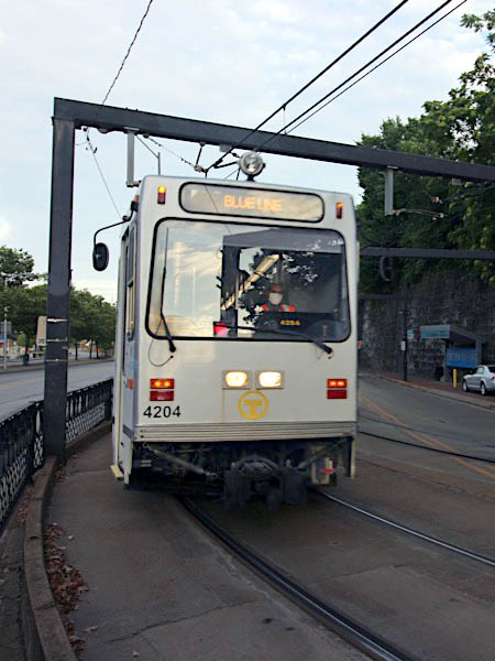
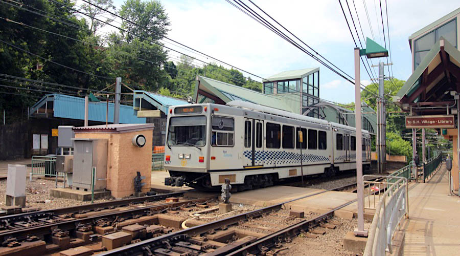
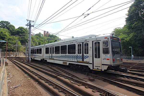
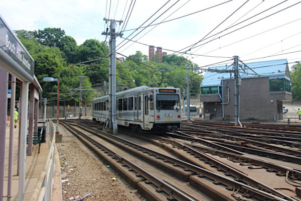
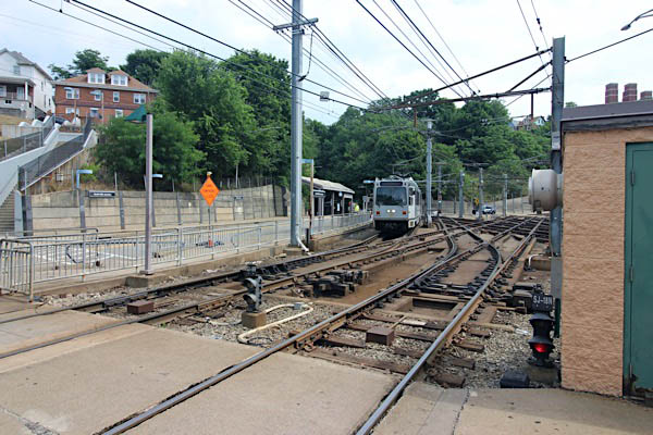
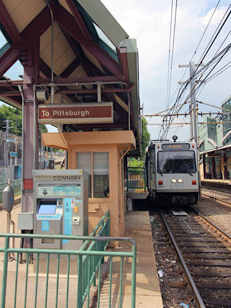
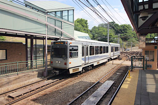
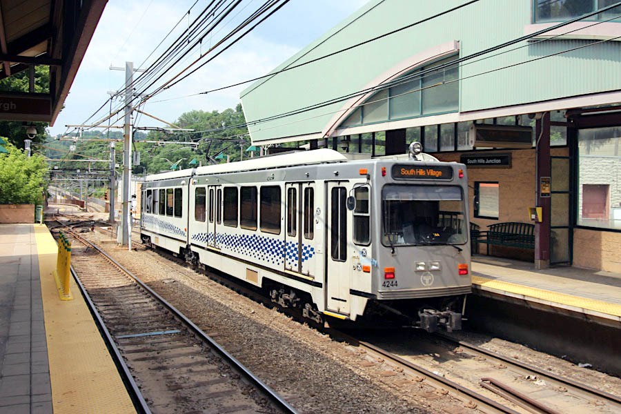
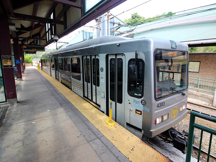
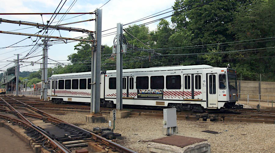
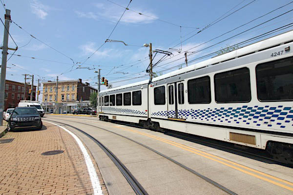
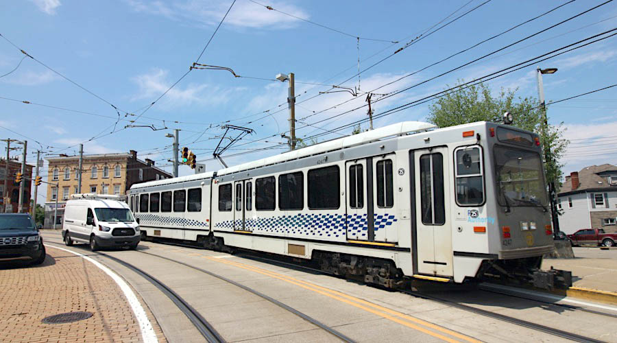
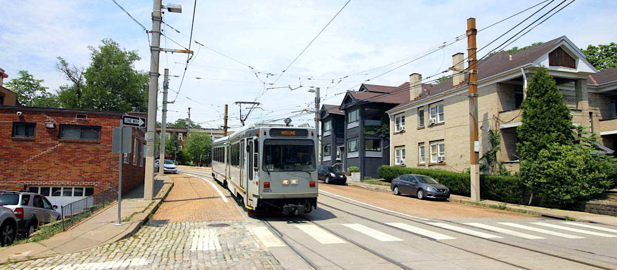
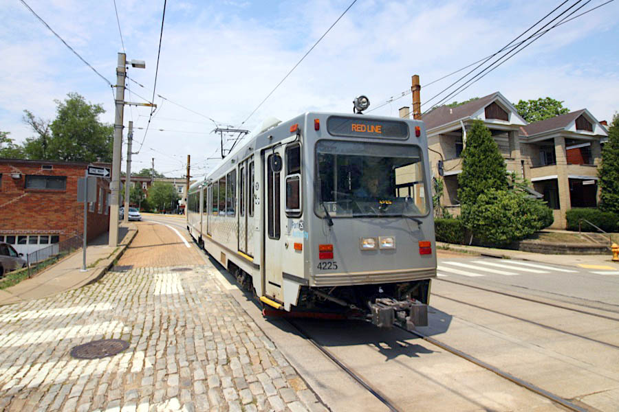
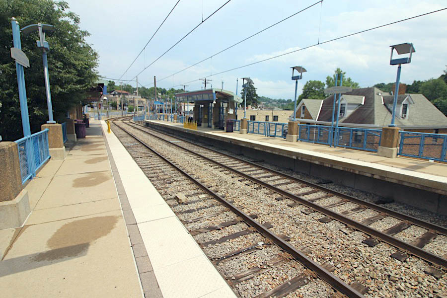
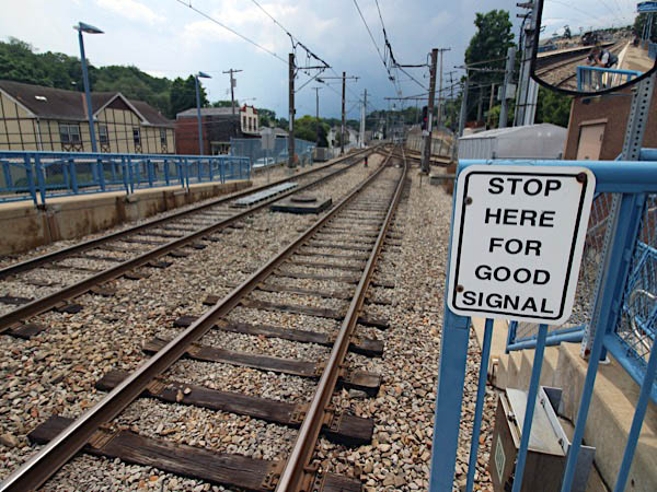
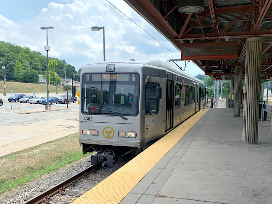
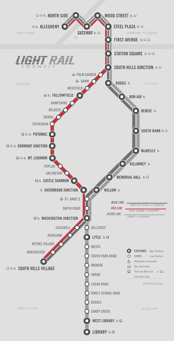
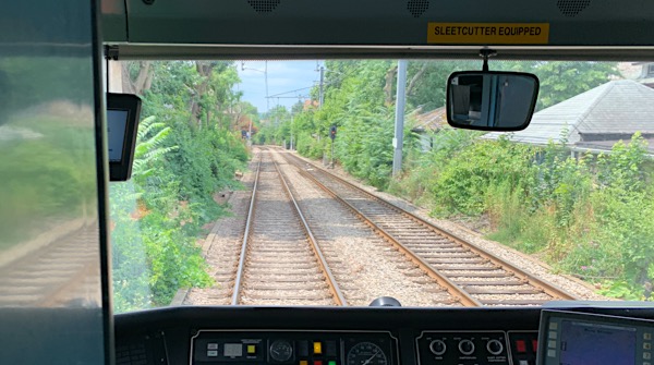
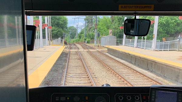
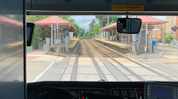
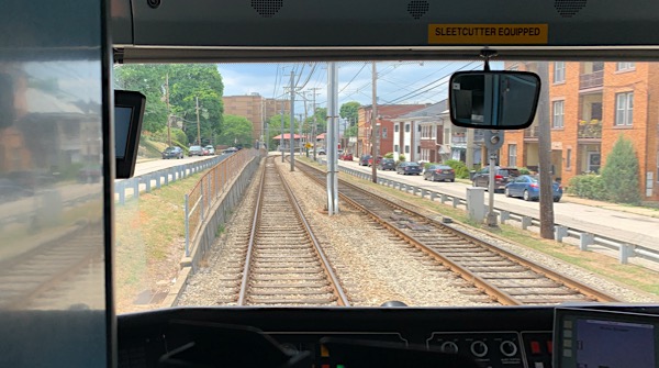
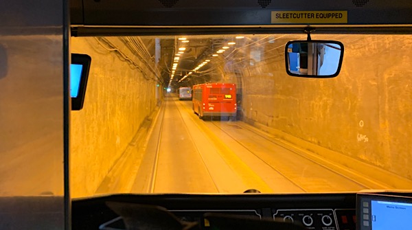
 he Pittsburgh "T" Light Rail system is a 26 mile light rail operation serving Pittsburgh and its surrounding suburbs. The T operates as an underground subway in downtown Pittsburgh, but runs mostly at-grade in the suburbs south of the city. The system mostly operates in a north-south direction, with one terminus just north of Pittsburgh's central business district and two termini in the South Hills. The T system is owned and operated by the Port Authority of Allegheny County, and is the successor system to the large streetcar network formerly operated by Pittsburgh Railways — the oldest portions of which date to 1903. The current Pittsburgh light rail routes are holdovers from the city's streetcar days. The T is one of only three light rail systems in the United States that continues to use the Pennsylvania Trolley (broad) gauge rail placement on its lines instead of 4' 8.5" standard gauge. Pittsburgh is also one of the few North American cities that have continued to operate light rail systems in an uninterrupted evolution from the first-generation streetcar era that once dominated most urban settings.
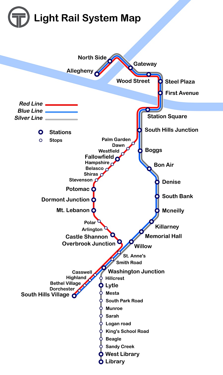
T Light Rail system map / collection
Jul 2020 / RWH
Jul 2020 / RWH
Jul 2020 / RWH
jump to a
station stop
- Allegheny
- Panhandle
- Station Square
- South Hills Jct
- Fallowfield
- Castle Shannon
- Overbrook Jct
- Willlow
- Red Ride
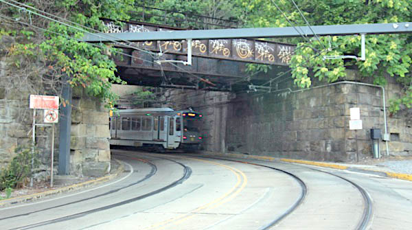
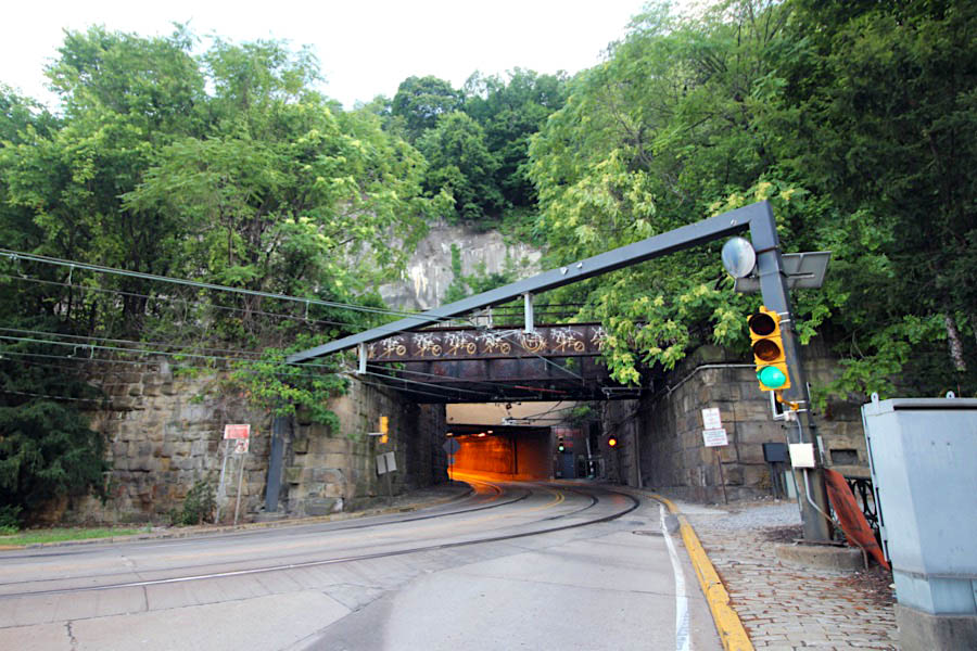
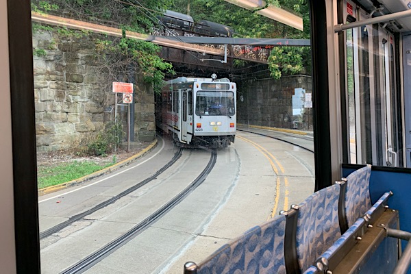
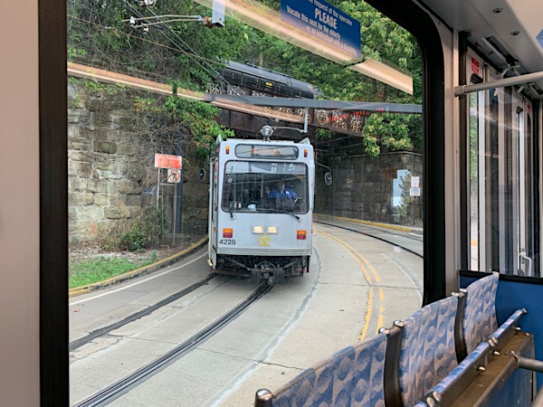
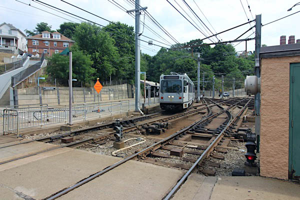
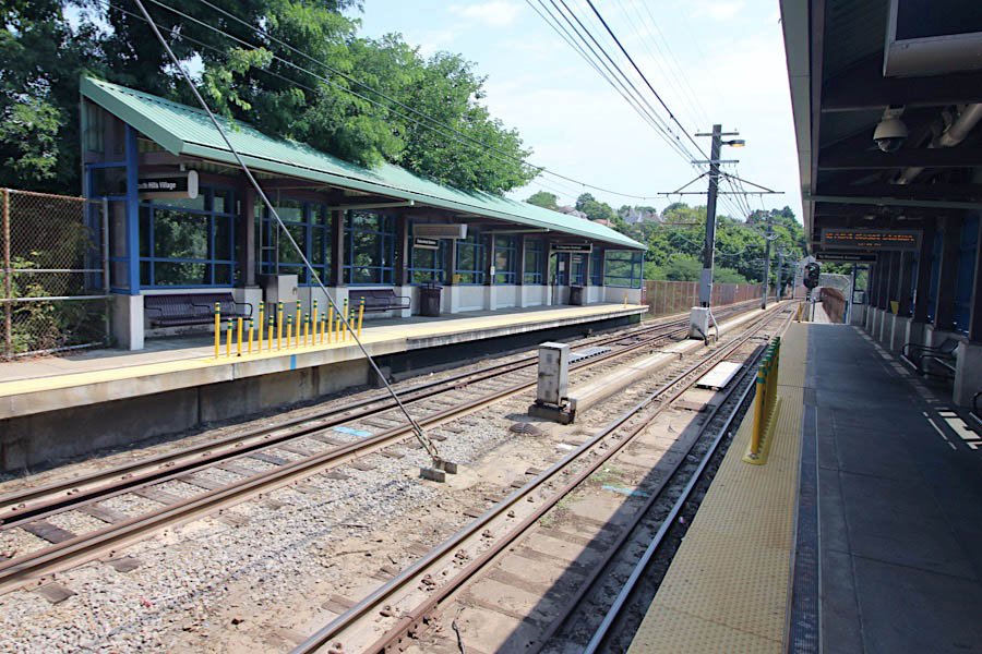
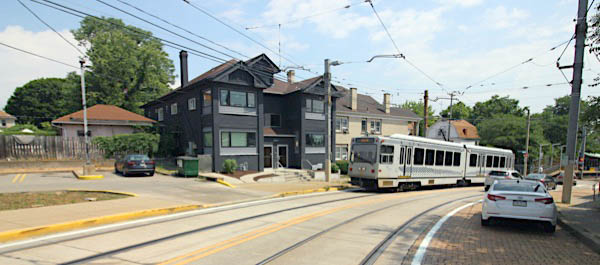
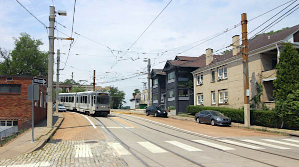
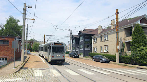
Dormont, Pa / Jul 2020 / RWH
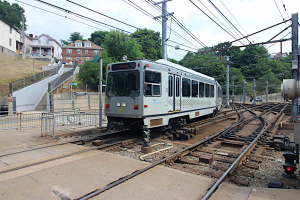
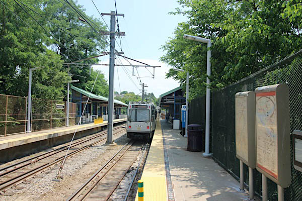
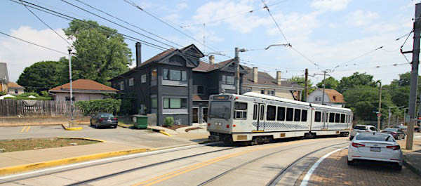
Pittsburgh, Pa / Jul 2020 / RWH
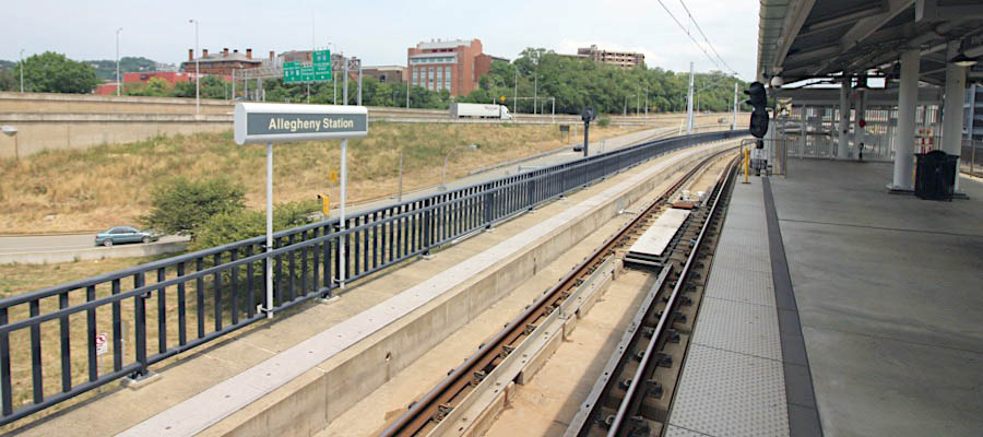
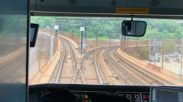
 Allegheny
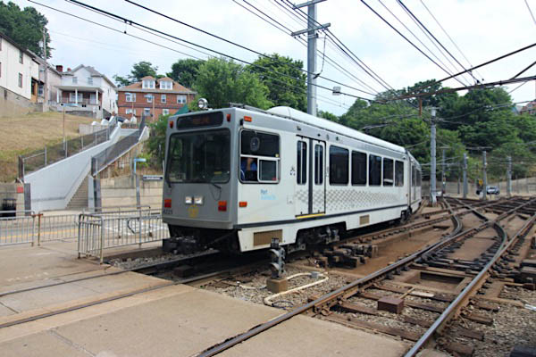
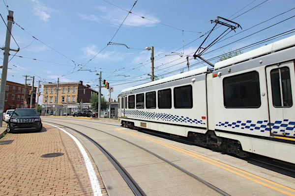
Pittsburgh, Pa / Jul 2020 / RWH
Jul 2020 / RWH
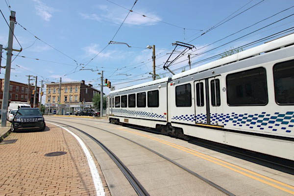
Pittsburgh, Pa / Jul 2020 / RWH
Jul 2020 / RWH
Pittsburgh, Pa / Jul 2020 / RWH
Pittsburgh, Pa / Jul 2020 / RWH
Pittsburgh, Pa / Jul 2020 / RWH
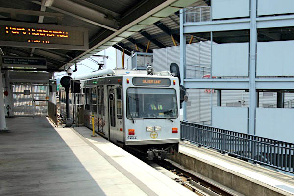
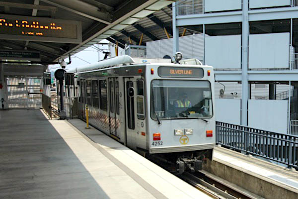
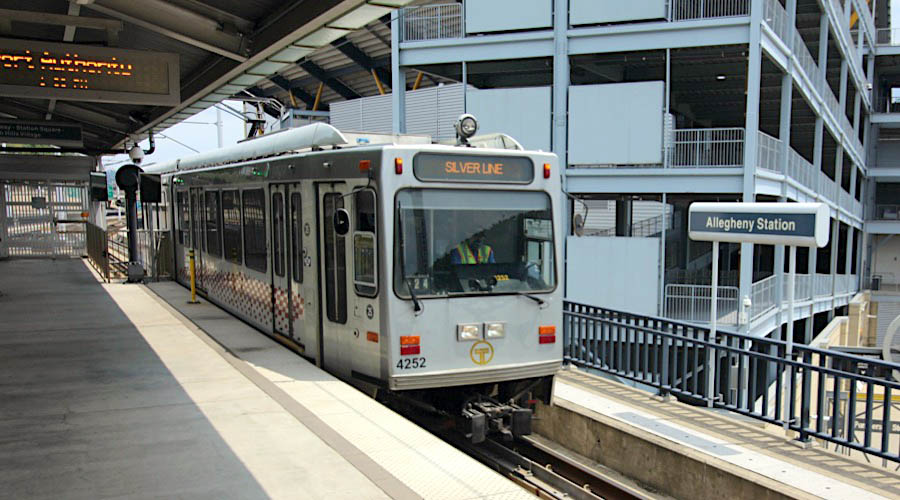
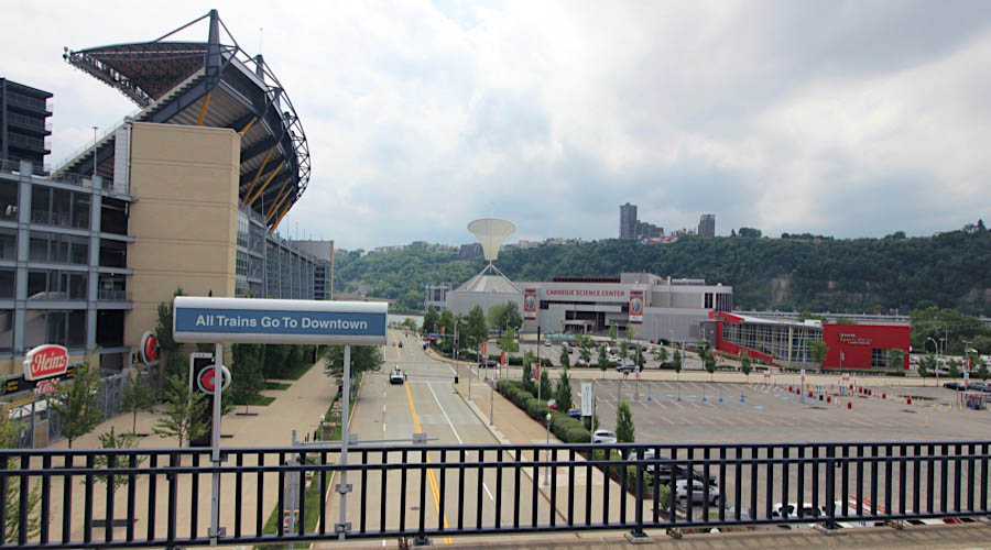
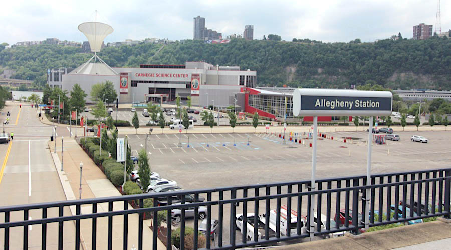
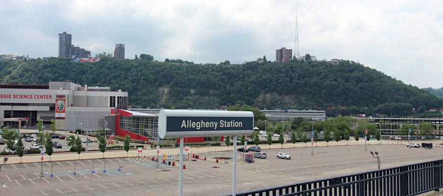
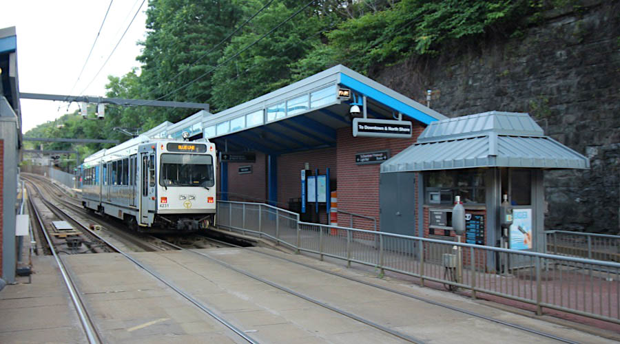
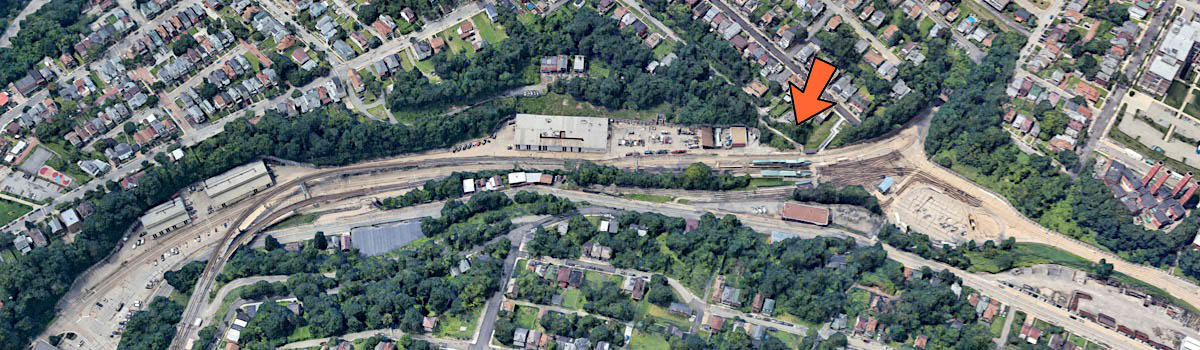
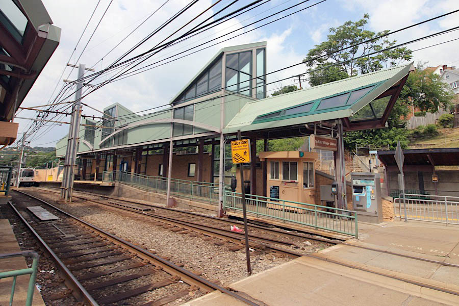
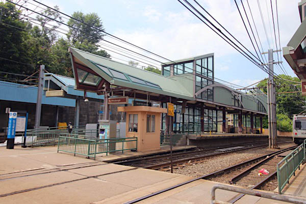
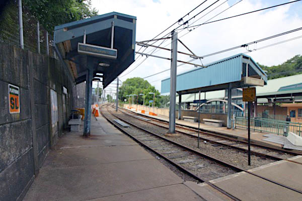
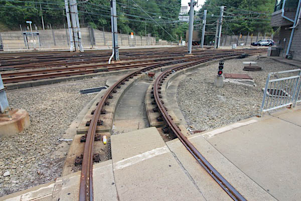
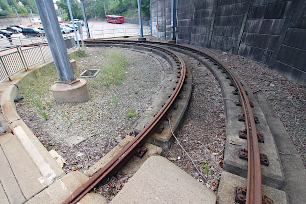
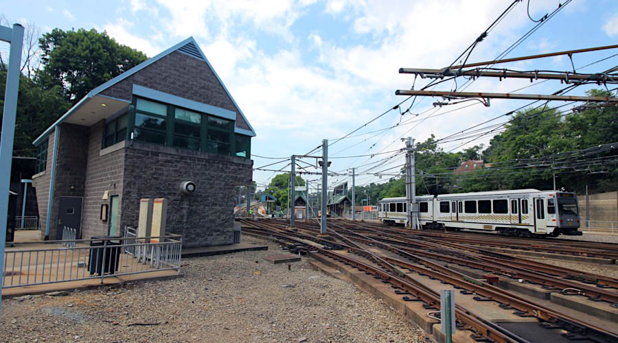
Click to see the Allegheny Station plotted on a Google Maps page
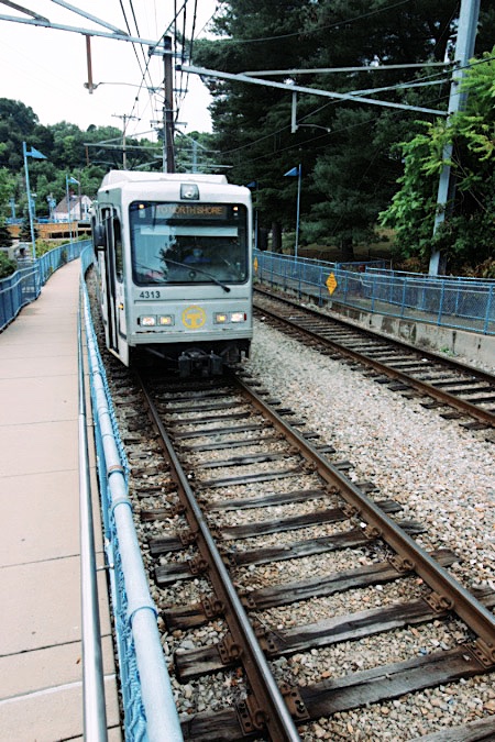
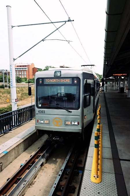
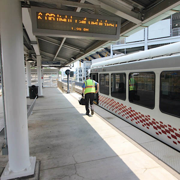
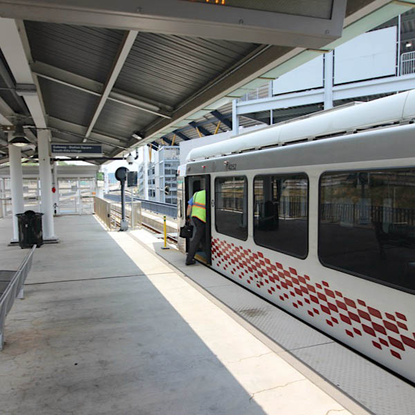
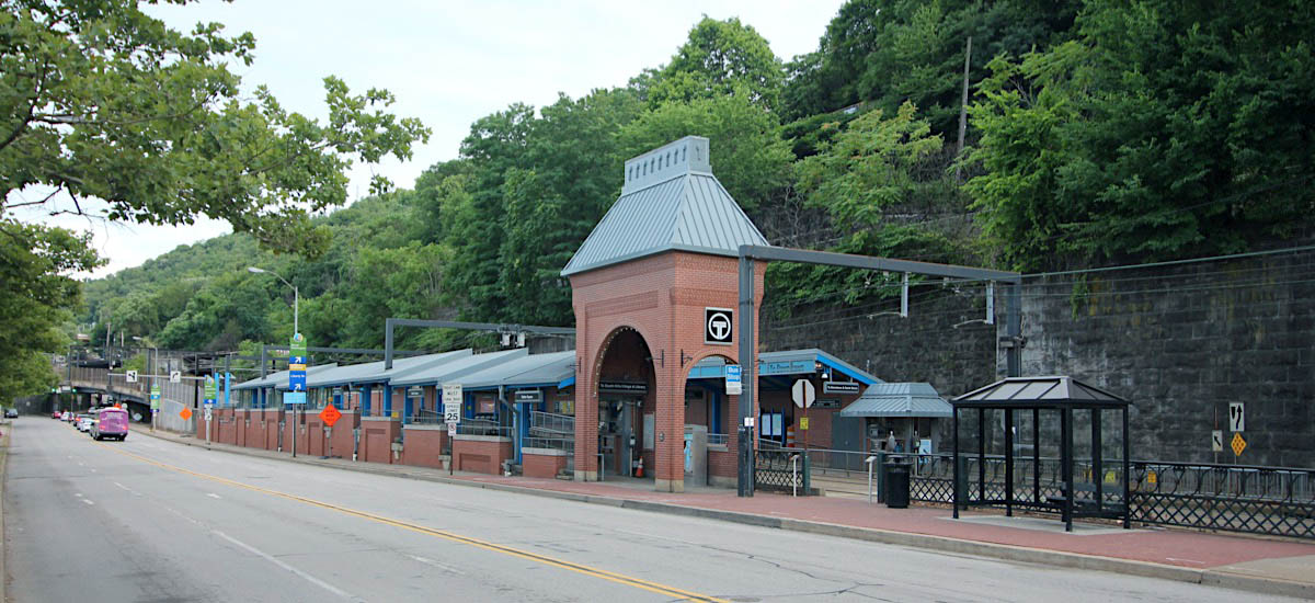
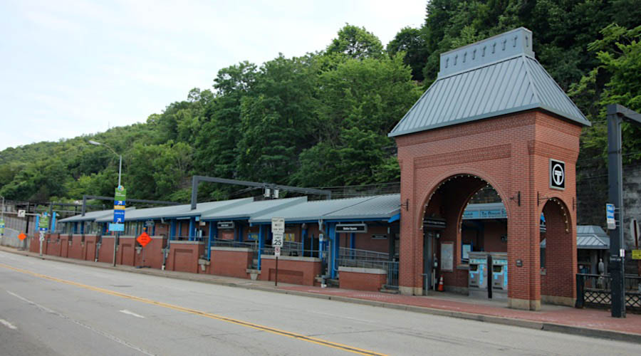
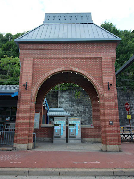
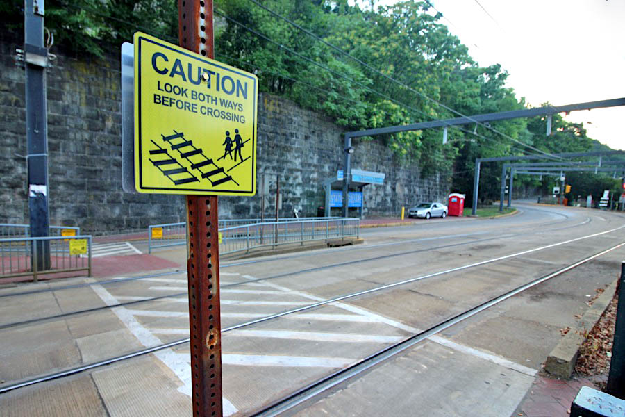
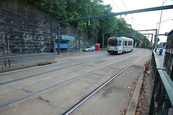
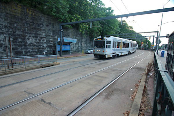
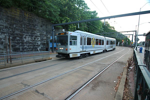
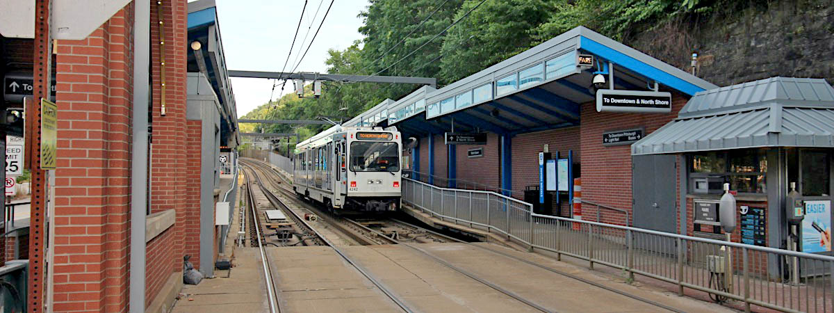
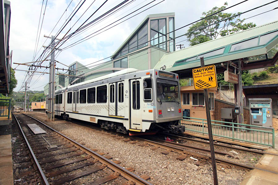
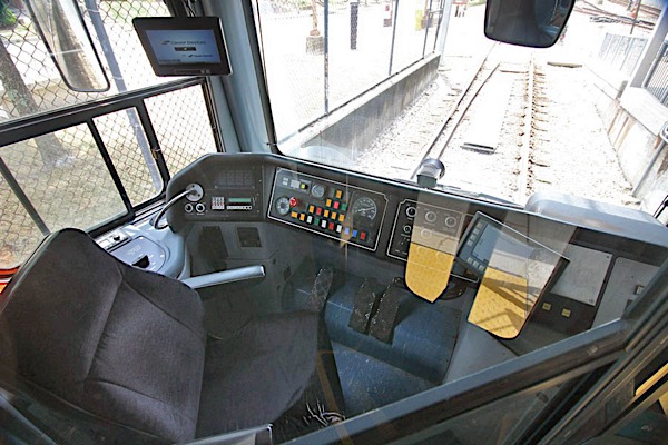
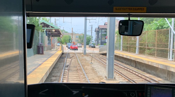
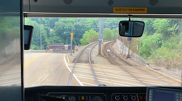
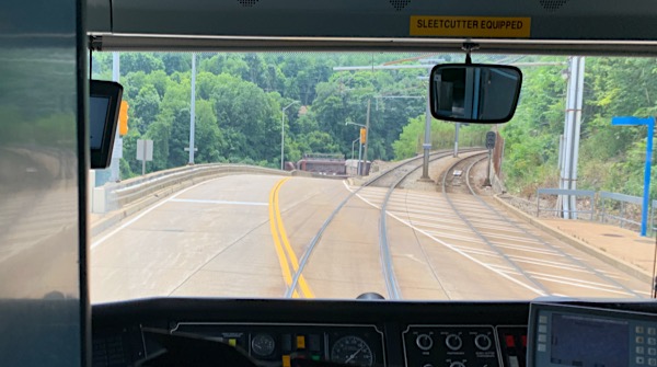
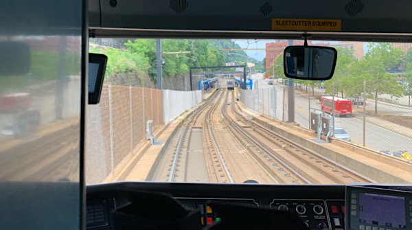
Located downtown, adjacent to Heinz baseball field, Allegheny Station is the northern terminus for all three T routes — Blue, Red, and Silver. All trains terminate here and reverse direction. As such, light rail operators must change positions from one end of their trainset to the other.
Jul 2020 / RWH
Pittsburgh, Pa / Jul 2020 / RWH
Pittsburgh, Pa / Jul 2020 / RWH
Pittsburgh, Pa / Jul 2020 / RWH
Pittsburgh, Pa / Jul 2020 / RWH
Pittsburgh, Pa / Jul 2020 / RWH
Pittsburgh, Pa / Jul 2020 / RWH
Pittsburgh, Pa / Jul 2020 / RWH
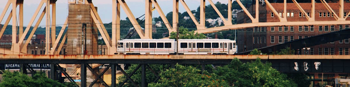
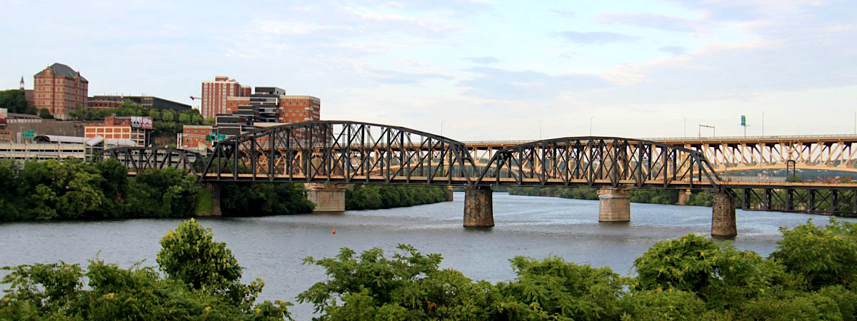
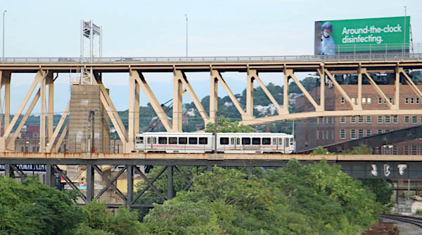
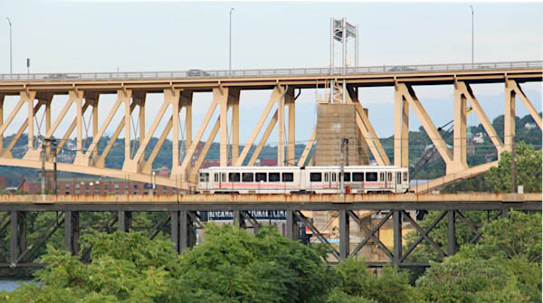
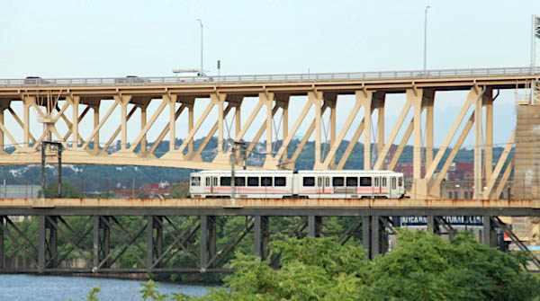
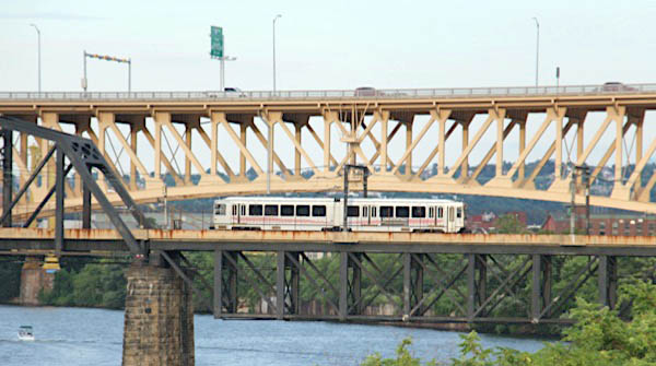
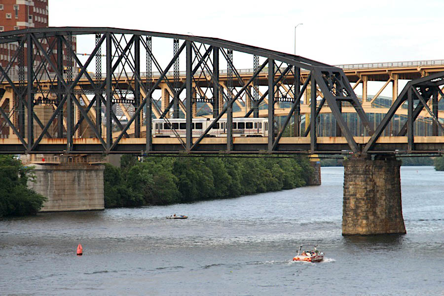
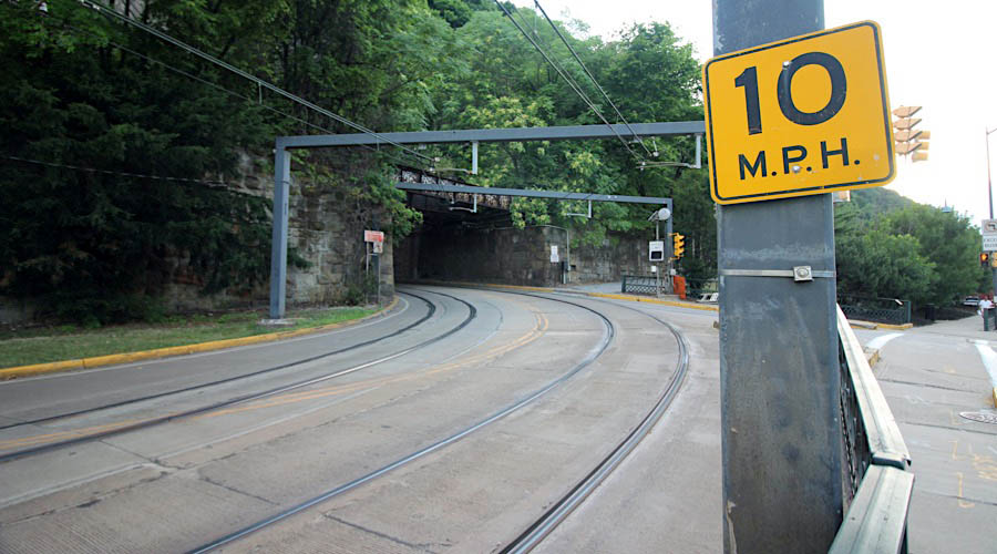
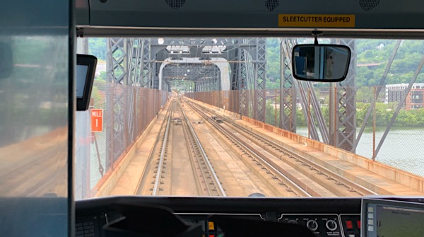
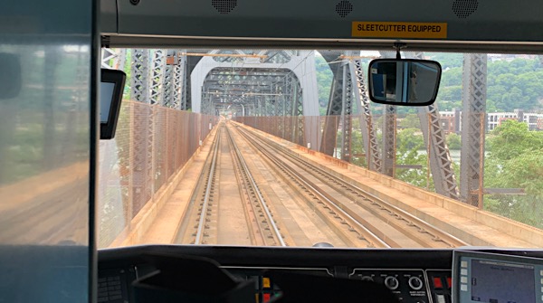
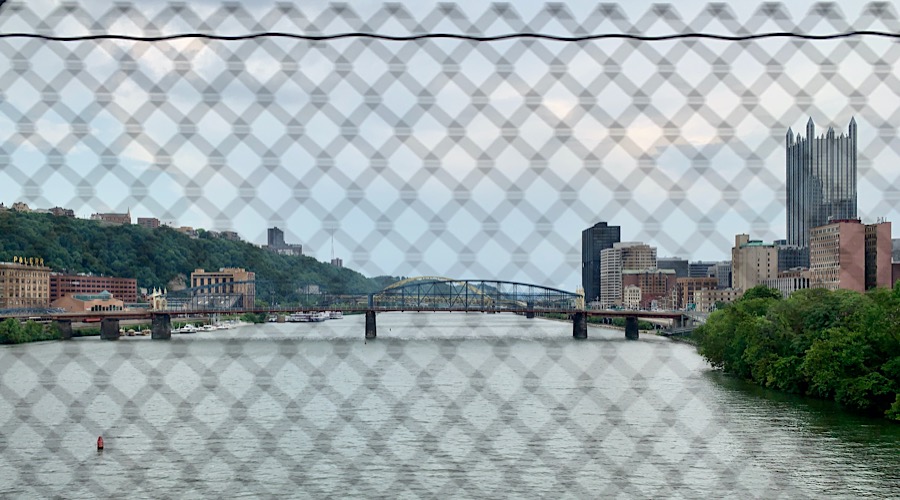
Panhandle Bridge
Pittsburgh, Pa / Jul 2020 / RWH
Pittsburgh, Pa / Jul 2020 / RWH
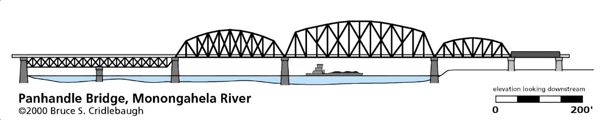
drawing by Bruce Cridlebaugh / pghbridges.com
Click to see the Panhandle Bridge plotted on a Google Maps page
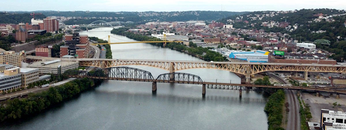
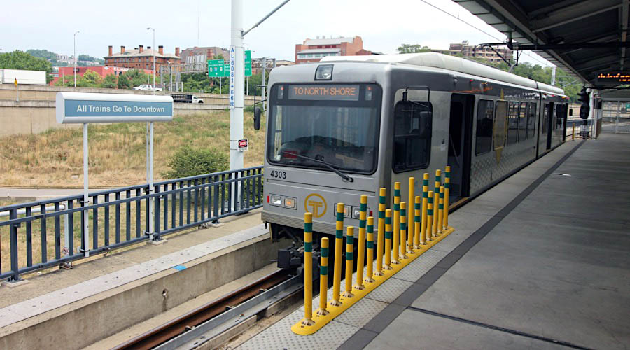
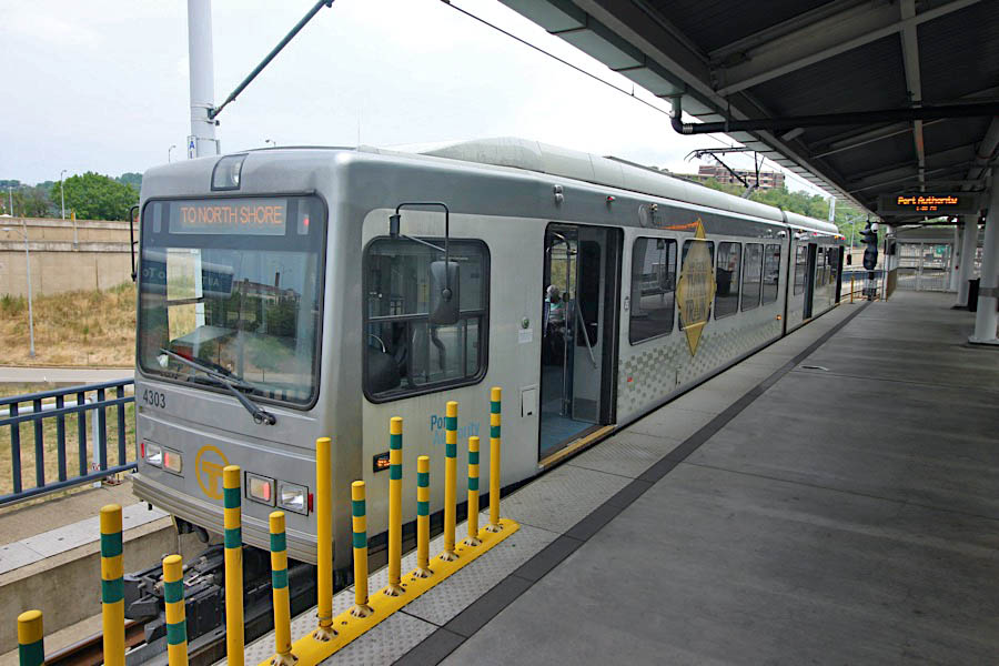
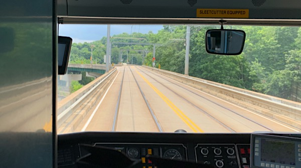
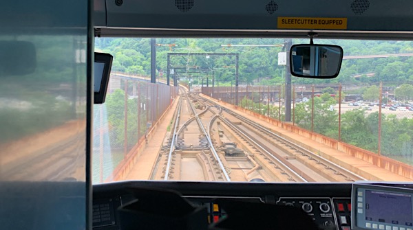
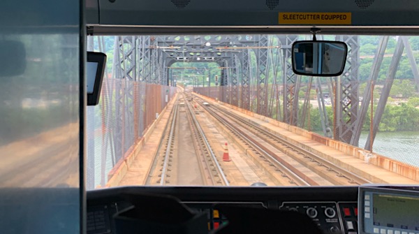
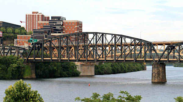 The Panhandle Bridge (officially the Monongahela River Bridge) carries two rail lines of the Port Authority "T" line across the Monongahela River in Pittsburgh, Pennsylvania. The name comes from Pennsylvania Railroad subsidiary Pittsburgh, Cincinnati, Chicago and St. Louis Railroad, also known as the Panhandle Route, which operated over the bridge.
The basic structure was built in 1903, and was the third railroad bridge on the site since 1863. It was raised in 1912-14 as part of a grade separation project. The bridge's function was to carry Panhandle Route passenger, mail and express trains from Pennsylvania Station in Pittsburgh, with a tunnel in between the station and the bridge. Pennsy Panhandle freight trains utilized the Ohio Connecting Bridge slightly downstream on the Ohio River, or went the long way around the West Virginia Panhandle via Conway, Pennsylvania.
Rail traffic over the Panhandle Bridge declined as passenger trains were discontinued, and Amtrak became the only regular user of the bridge from 1971 to 1979, when the New York-St. Louis-Kansas City National Limited was discontinued on October 1 of that year. As PRR successor Conrail had no use for the bridge and the restrictive downtown tunnel, it was sold to the Port Authority, who rebuilt the bridge beginning in 1982 as part of the downtown light rail subway project,[1][2] which removed trolleys from downtown streets and the Smithfield Street Bridge. PAT (as the Port Authority system was known at the time) light rail cars began using the bridge on July 7, 1985.
photo Jul 2020 / RWH
Pittsburgh, Pa / Jul 2020 / RWH
Pittsburgh, Pa / Jul 2020 / RWH
Station Square
Pittsburgh, Pa / Jul 2020 / RWH
Pittsburgh, Pa / Jul 2020 / RWH
Jul 2020 / RWH
Click to see the Station Square platform plotted on a Google Maps page
Pittsburgh, Pa / Jul 2020 / RWH
Pittsburgh, Pa / Jul 2020 / RWH
Pittsburgh, Pa / Jul 2020 / RWH
Pittsburgh, Pa / Jul 2020 / RWH
Jul 2020 / RWH
Pittsburgh, Pa / Jul 2020 / RWH
Pittsburgh, Pa / Jul 2020 / RWH
Pittsburgh, Pa / Jul 2020 / RWH
Pittsburgh, Pa / Jul 2020 / RWH
Pittsburgh, Pa / Jul 2020 / RWH
Pittsburgh, Pa / Jul 2020 / RWH
Pittsburgh, Pa / Jul 2020 / RWH
Pittsburgh, Pa / Jul 2020 / RWH
Pittsburgh, Pa / Jul 2020 / RWH
Jul 2020 / RWH
Jul 2020 / RWH
Pittsburgh, Pa / Jul 2020 / RWH
Pittsburgh, Pa / Jul 2020 / RWH
Pittsburgh, Pa / Jul 2020 / RWH
Pittsburgh, Pa / Jul 2020 / RWH
Pittsburgh, Pa / Jul 2020 / RWH
Pittsburgh, Pa / Jul 2020 / RWH
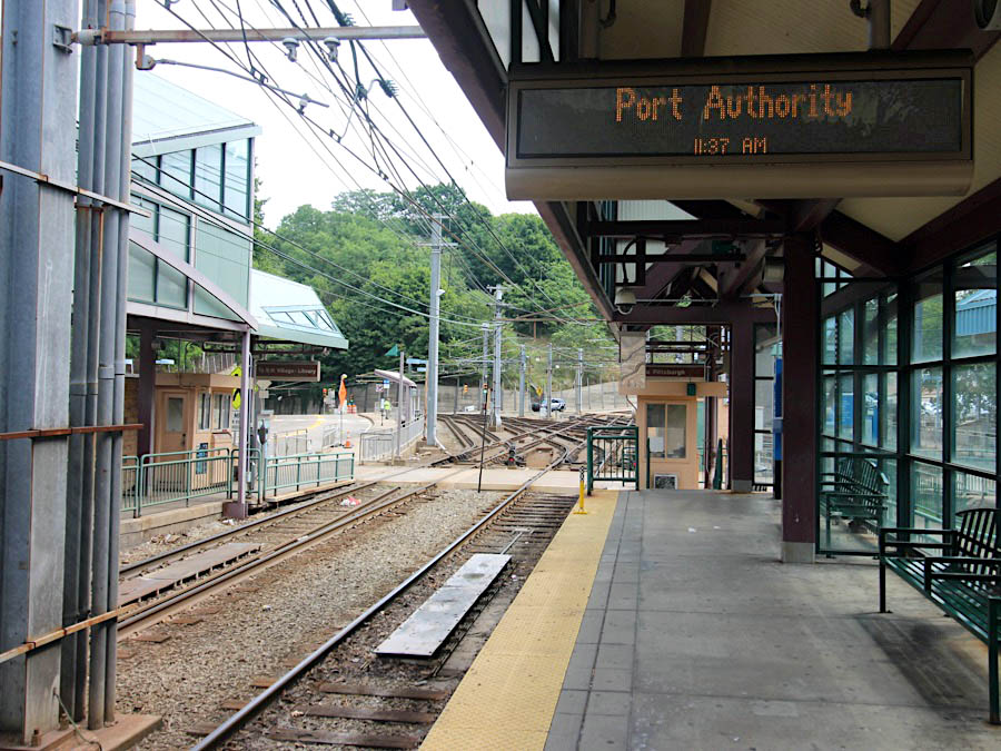
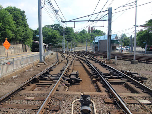
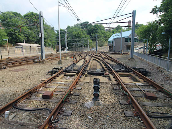
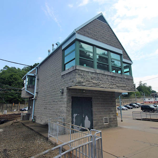
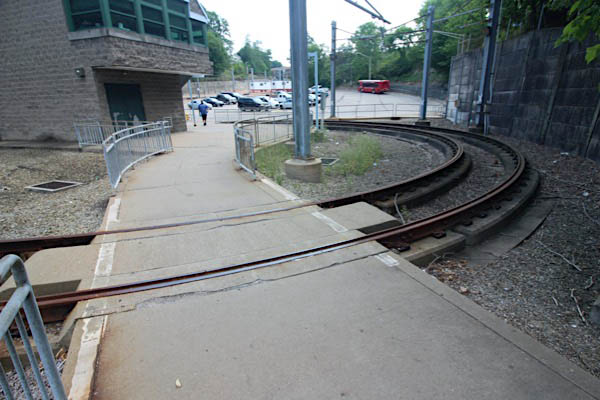
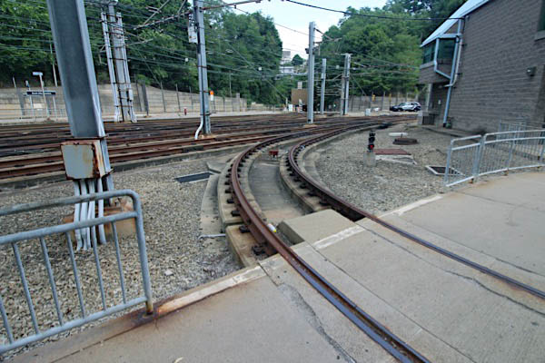
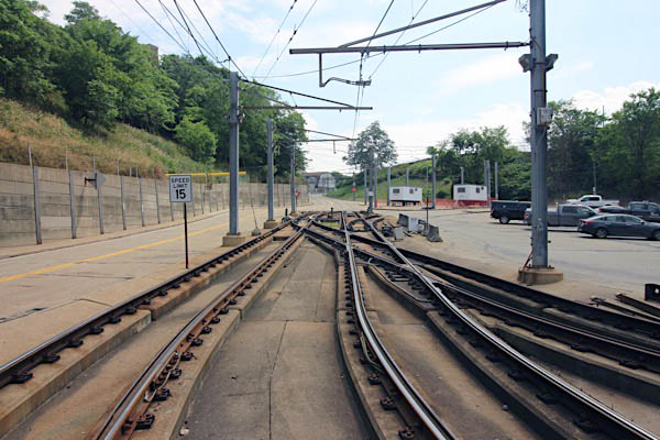
South Hills Junction
Google Maps
Pittsburgh, Pa / Jul 2020 / RWH
Pittsburgh, Pa / Jul 2020 / RWH
Pittsburgh, Pa / Jul 2020 / RWH
Click to see South Hills Junction plotted on a Google Maps page
Dormont, Pa / Jul 2020 / RWH
Dormont, Pa / Jul 2020 / RWH
Dormont, Pa / Jul 2020 / RWH
Dormont, Pa / Jul 2020 / RWH
Dormont, Pa / Jul 2020 / RWH
Jul 2020 / RWH
Dormont, Pa / Jul 2020 / RWH
Dormont, Pa / Jul 2020 / RWH
Dormont, Pa / Jul 2020 / RWH
Dormont, Pa / Jul 2020 / RWH
Jul 2020 / RWH
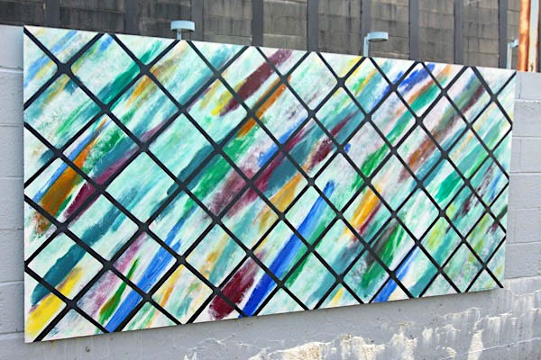
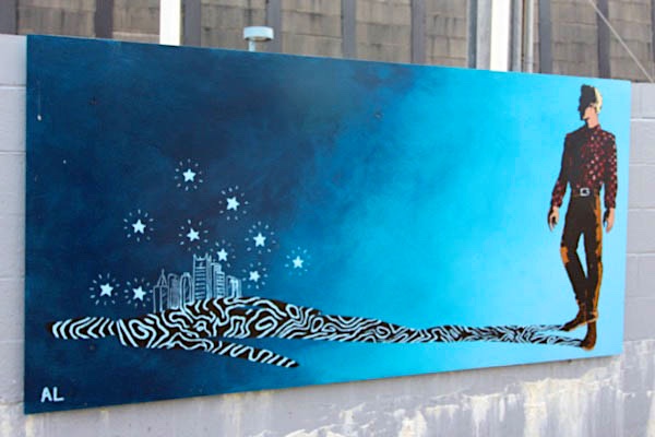
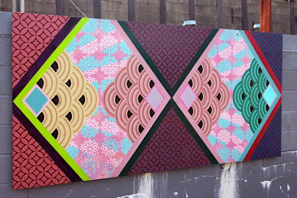
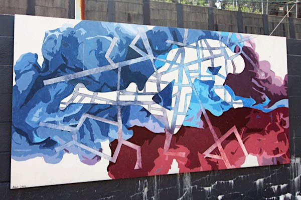
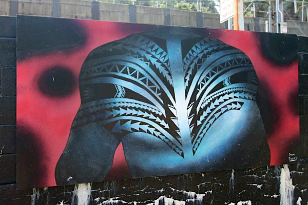
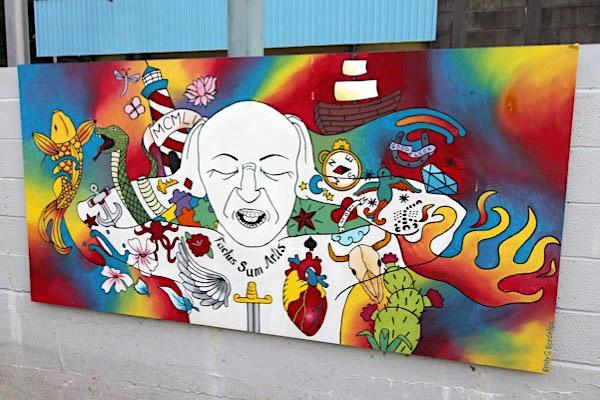
 Junction Wall Art

Jul 2020 / RWH
Dormont, Pa / Jul 2020 / RWH
Dormont, Pa / Jul 2020 / RWH
Dormont, Pa / Jul 2020 / RWH
Dormont, Pa / Jul 2020 / RWH
Jul 2020 / RWH
Jul 2020 / RWH
Jul 2020 / RWH
Dormont, Pa / Jul 2020 / RWH
Dormont, Pa / Jul 2020 / RWH
Dormont, Pa / Jul 2020 / RWH
Dormont, Pa / Jul 2020 / RWH
Dormont, Pa / Jul 2020 / RWH
Dormont, Pa / Jul 2020 / RWH
Dormont, Pa / Jul 2020 / RWH
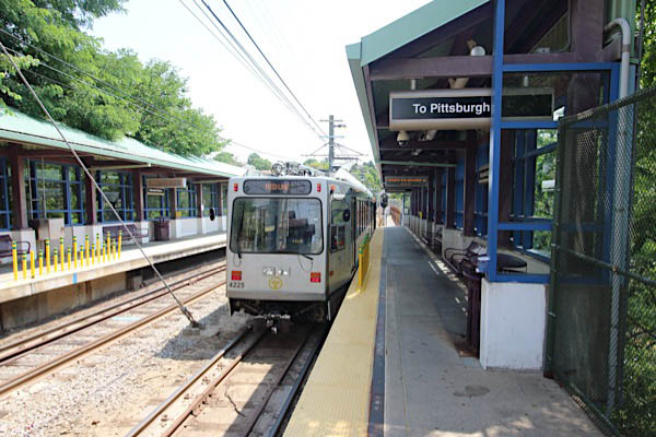
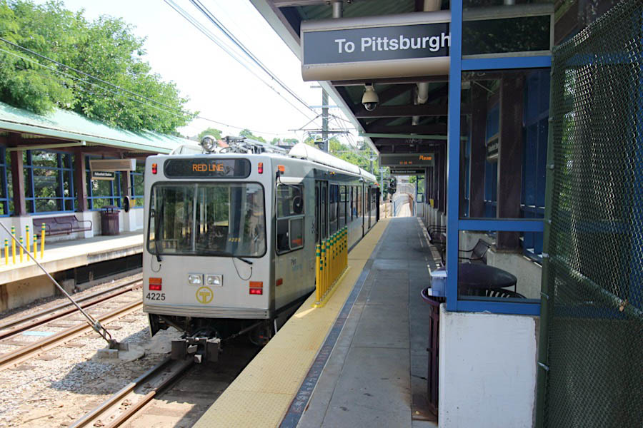
Fallowfield Station
Dormont, Pa / Jul 2020 / RWH
Jul 2020 / RWH
Click to see the Fallowfield Station area plotted on a Google Maps page
Dormont, Pa / Jul 2020 / RWH
Dormont, Pa / Jul 2020 / RWH
Dormont, Pa / Jul 2020 / RWH
Dormont, Pa / Jul 2020 / RWH
Dormont, Pa / Jul 2020 / RWH
Dormont, Pa / Jul 2020 / RWH
Dormont, Pa / Jul 2020 / RWH
Dormont, Pa / Jul 2020 / RWH
Dormont, Pa / Jul 2020 / RWH
Dormont, Pa / Jul 2020 / RWH
Dormont, Pa / Jul 2020 / RWH
Dormont, Pa / Jul 2020 / RWH
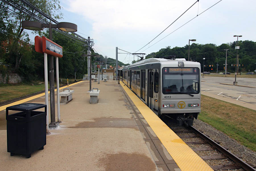
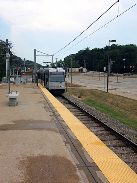
Castle Shannon
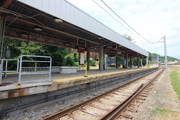
Castle Shannon, Pa / Jul 2020 / RWH
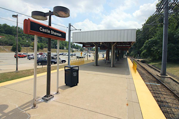
Castle Shannon, Pa / Jul 2020 / RWH
Click to see the Castle Shannon station plotted on a Google Maps page
Castle Shannon, Pa / Jul 2020 / RWH
Jul 2020 / RWH
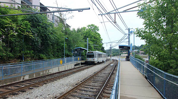
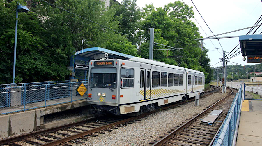
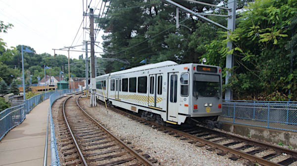
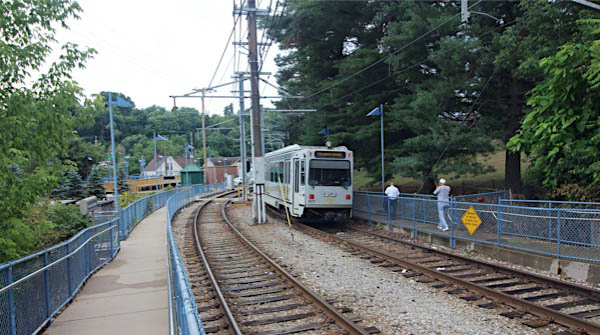
Overbrook Junction
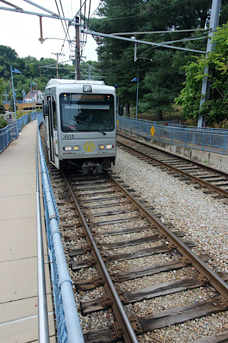
Jul 2020 / RWH
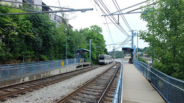
Castle Shannon, Pa / Jul 2020 / RWH
Click to see Overbrook Junction plotted on a Google Maps page
Castle Shannon, Pa / Jul 2020 / RWH
Castle Shannon, Pa / Jul 2020 / RWH
Willow
Castle Shannon, Pa / Jul 2020 / RWH
Click to see the Willow station area plotted on a Google Maps page
Castle Shannon, Pa / Jul 2020 / RWH
Castle Shannon, Pa / Jul 2020 / RWH
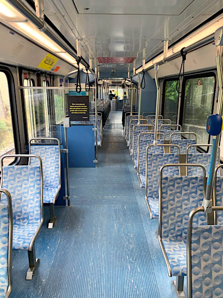
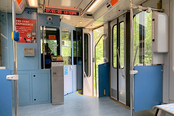
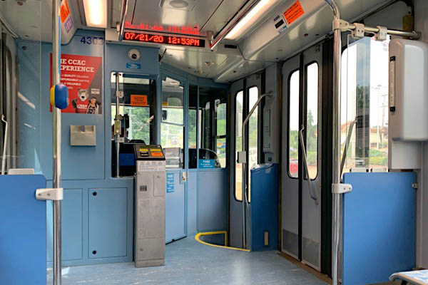
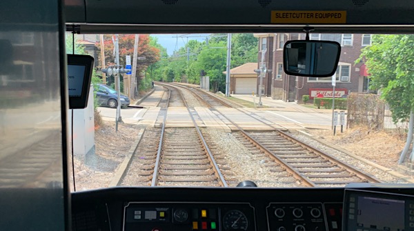
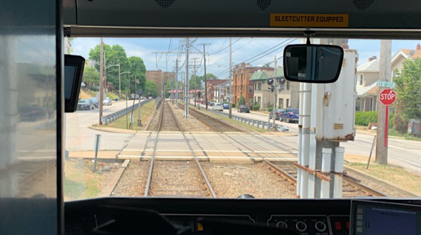
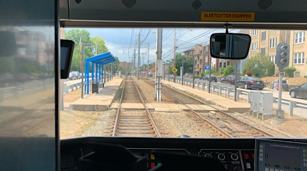
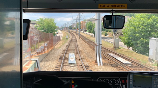
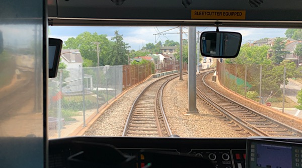
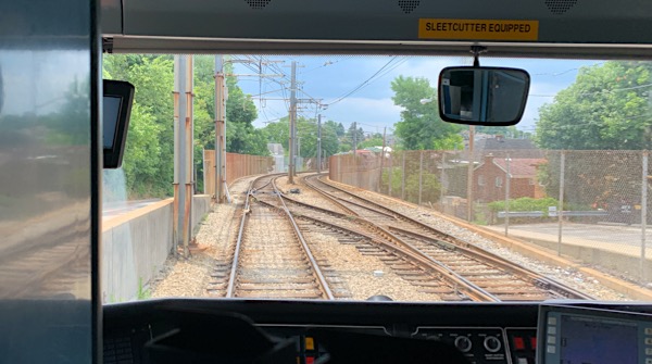
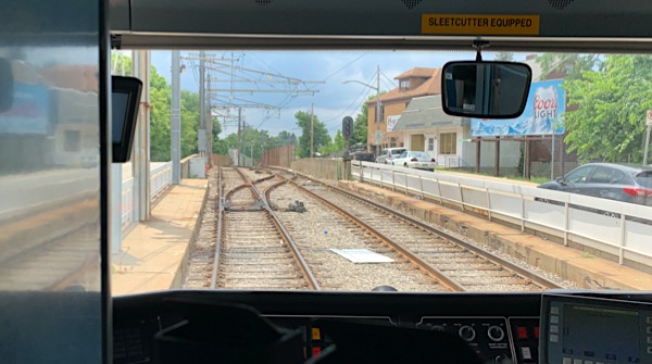
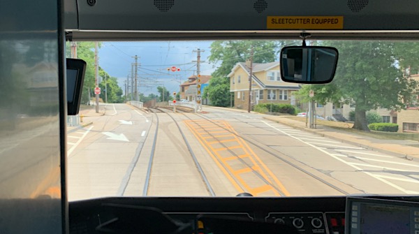
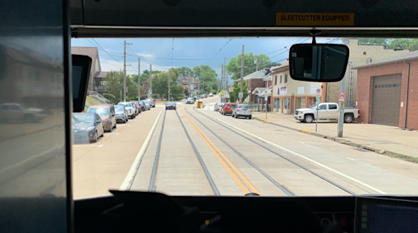
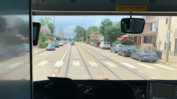
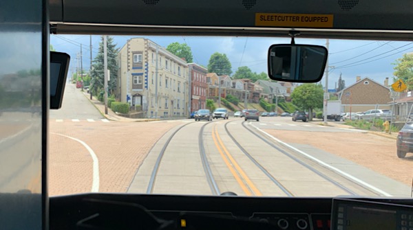
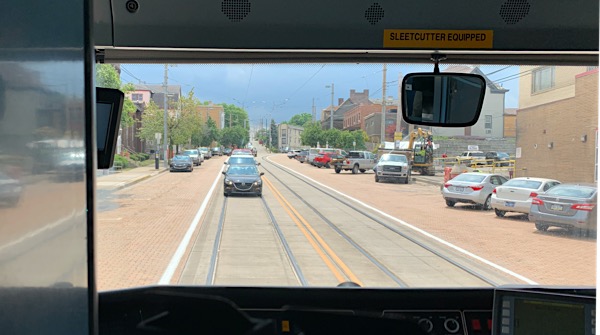
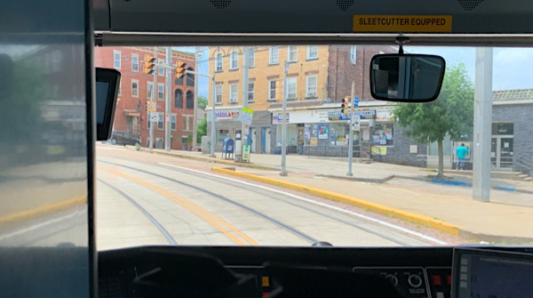
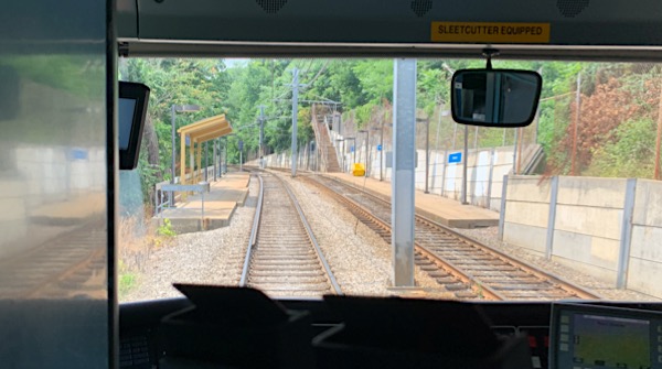
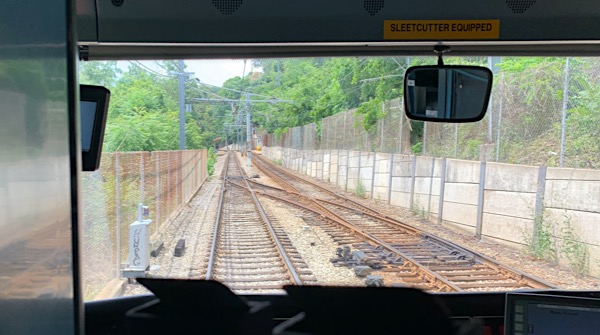
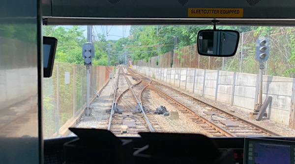
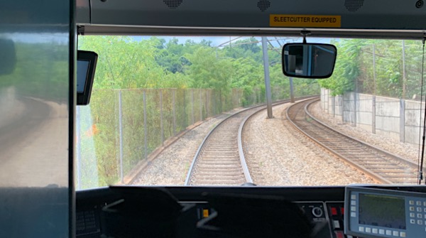
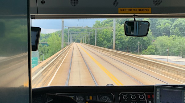
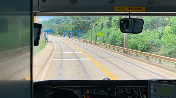
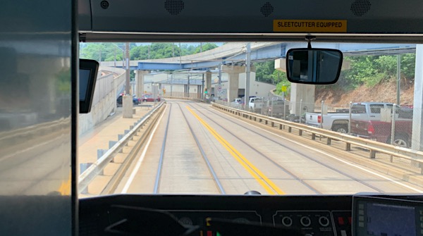
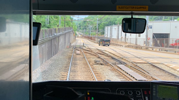
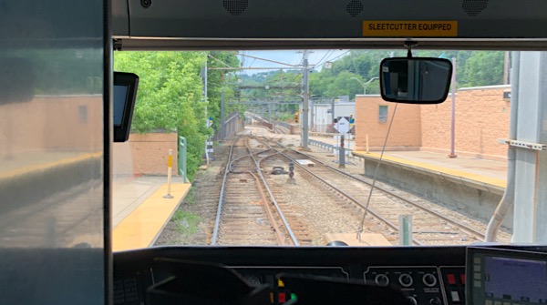
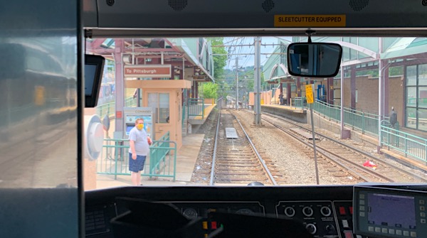
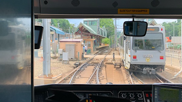
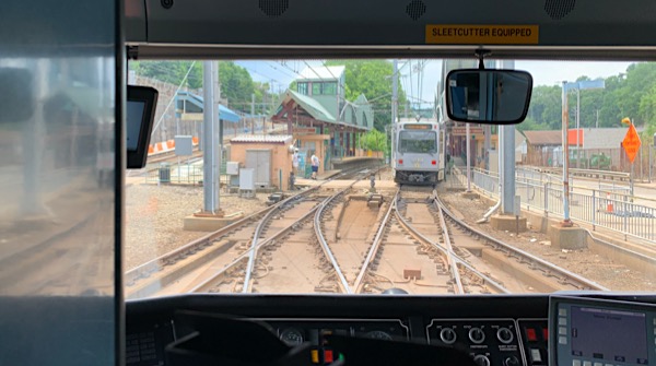
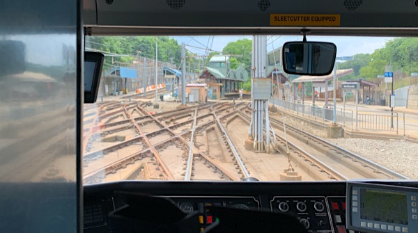
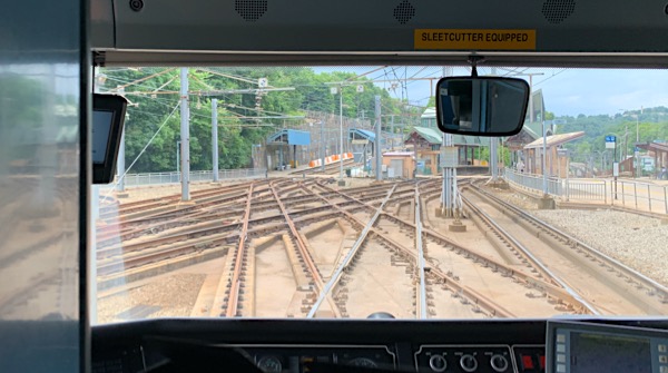
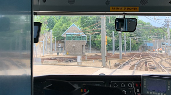
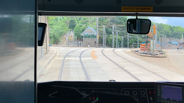
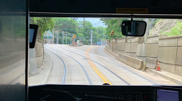
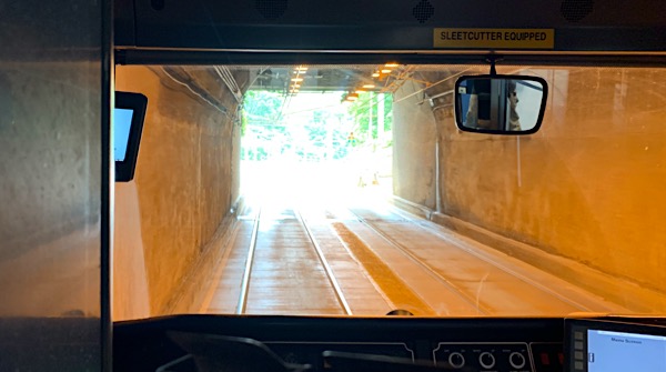
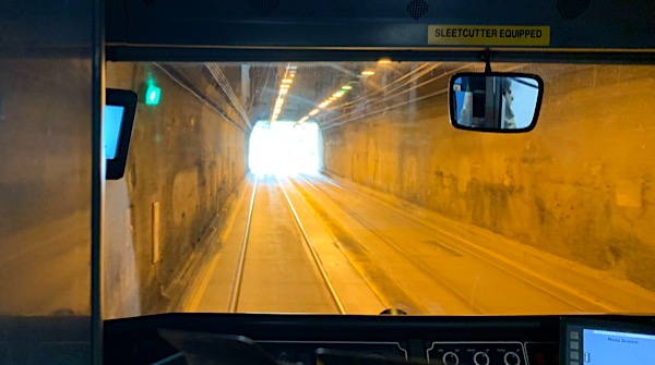
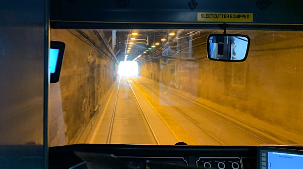
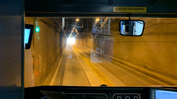
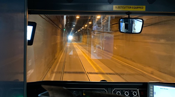
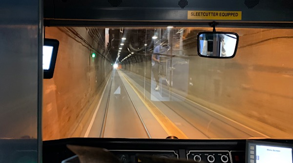
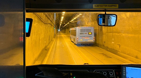
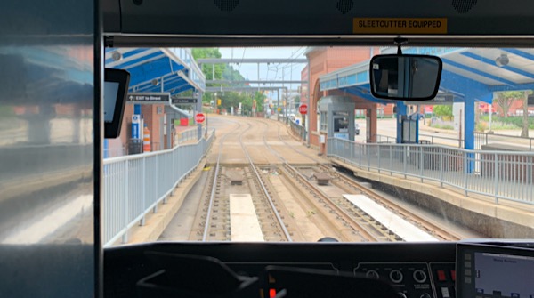
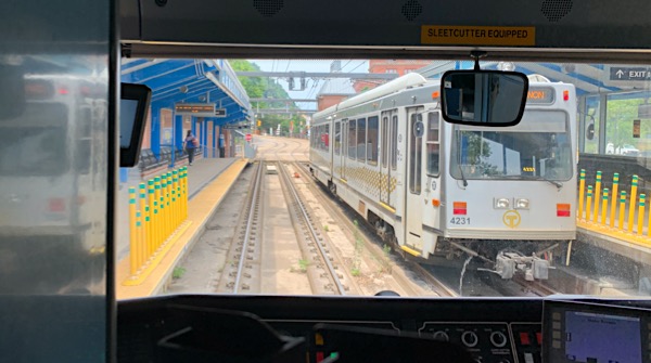
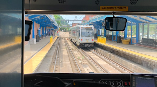
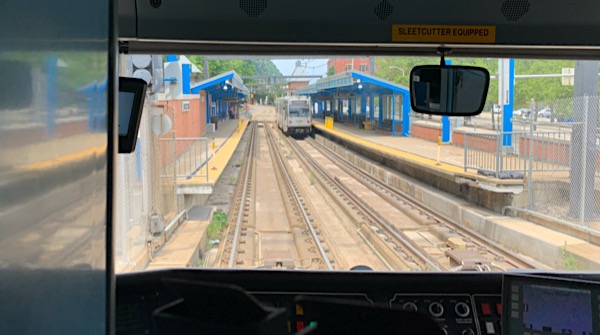
Red Line Ride
Castle Shannon, Pa / Jul 2020 / RWH
Jul 2020 / RWH
Red Line map / collection
Jul 2020 / RWH
Jul 2020 / RWH

Jul 2020 / RWH
Pittsburgh, Pa / Jul 2020 / RWH