 |
Pennsylvania Trolley Museum Locations and Structures |
Washington, Pa / Jun 2003 / RWH
 Visitor Center / Car Shop
Jul 2019 / RWH
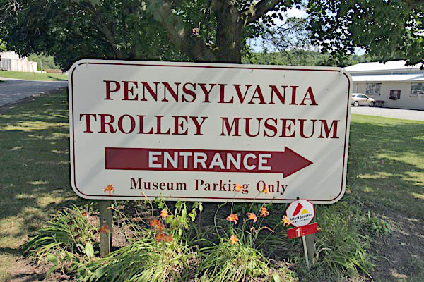
Jul 2019 / RWH
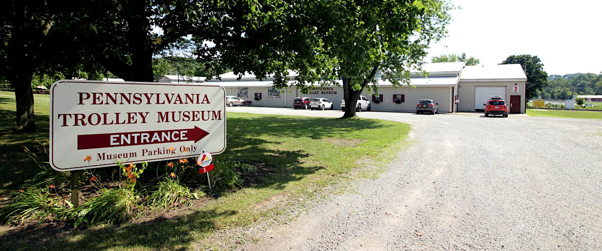
Washington, Pa / Jul 2019 / RWH
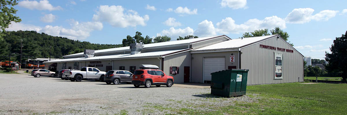
Washington, Pa / Jul 2019 / RWH
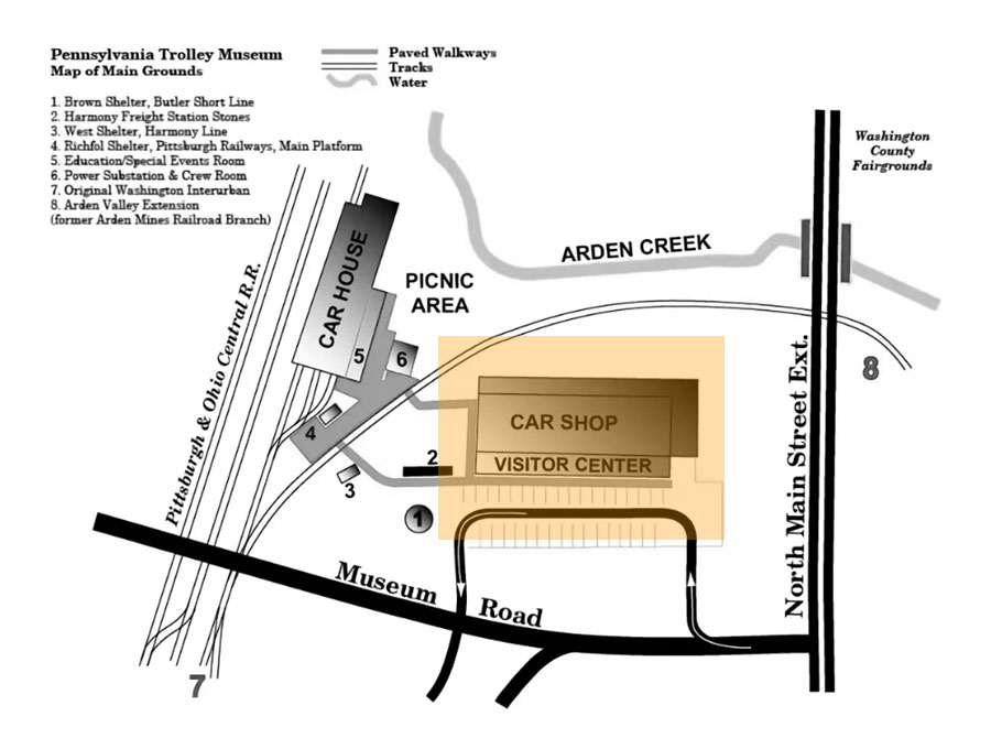
collection

Click to see the Visitors Center building plotted on a Google Maps page
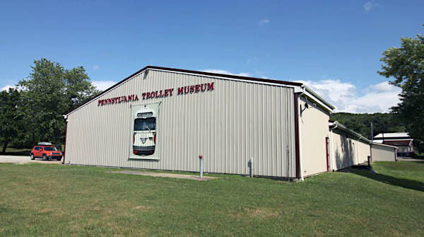
Washington, Pa / Jul 2019 / RWH
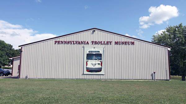
Washington, Pa / Jul 2019 / RWH
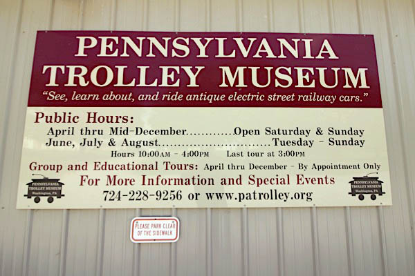
Jul 2019 / RWH
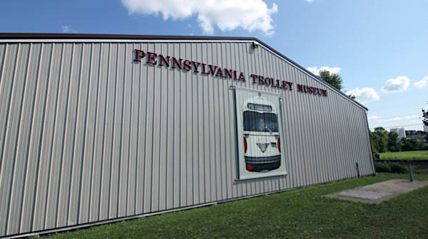
Jul 2019 / RWH
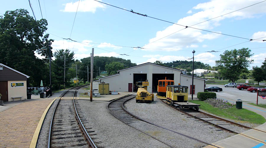
Washington, Pa / Jul 2019 / RWH
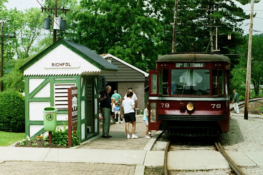
 Richfol Shelter
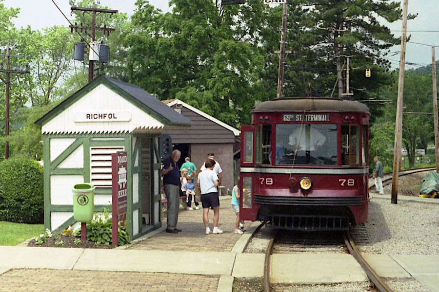
Washington, Pa / Jun 2003 / RWH
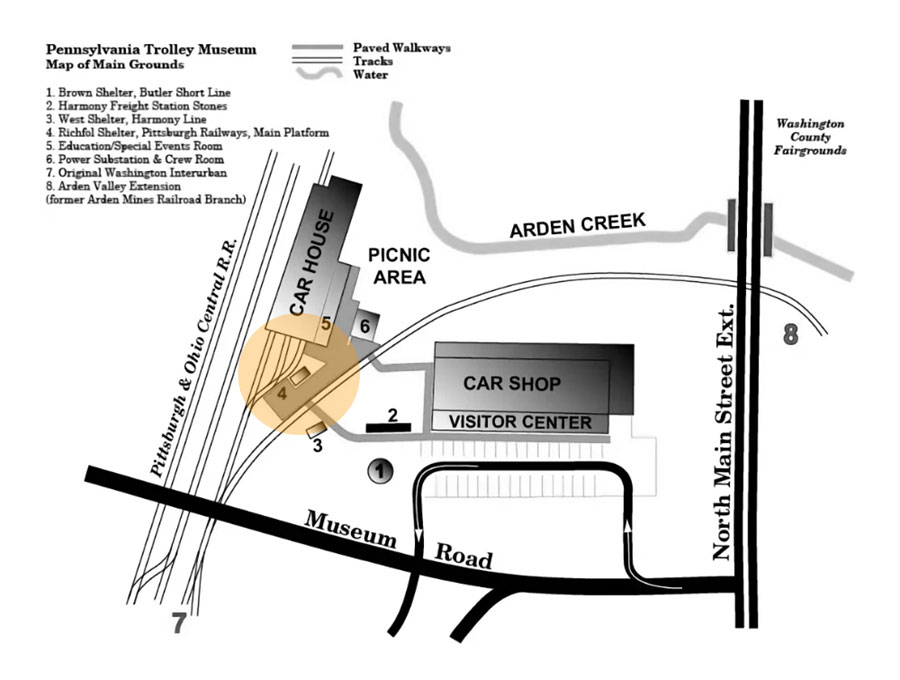
collection
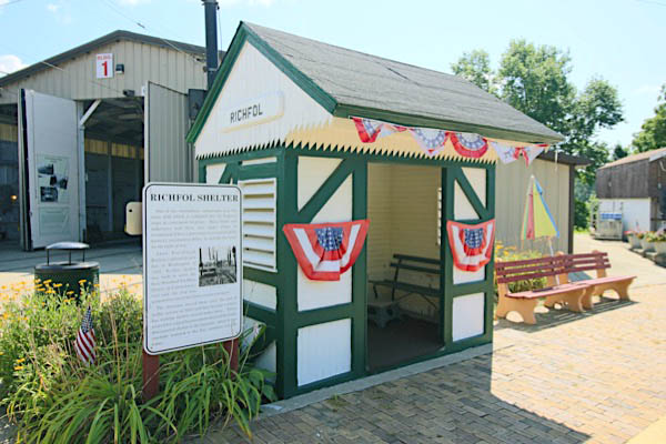
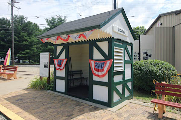
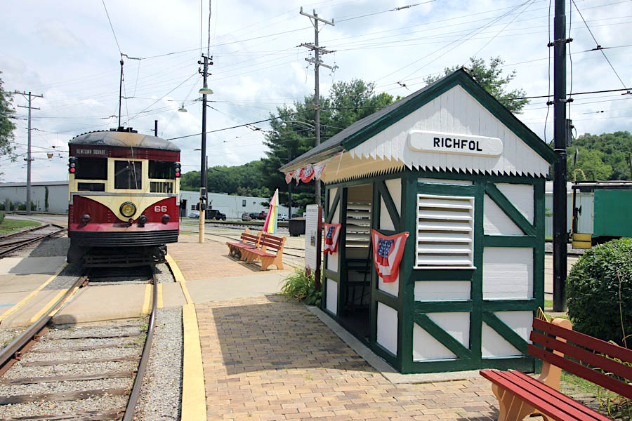
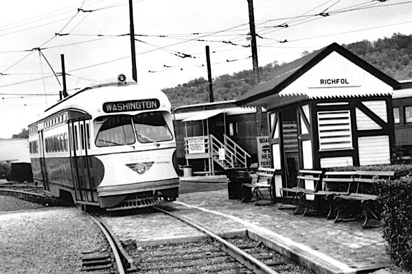 In 1909, the Pittsburgh Railways Company opened a connection between its recently acquired Washington & Canonsburg division and its Charleroi interurban in Bethel. As part of the project, passenger waiting shelters of this type were constructed for each of the stops along the route. Richfol shelter was constructed to serve workers of the Standard Tin Plate Company in Canonsburg. The stop was named for W. H. Richards, plant superintendent, and Lewis Follet, company president. The site is now occupied by Pennsylvania Transformer Technology and is directly across Adams Avenue from Sarris Candies. Adjacent to the shelter was a 719-foot steel trestle that spanned a portion of the factory property, the Pennsylvania Railroad (the branch which passes the Museum) and Chartiers Creek.
After the line was abandoned in 1953, the shelter was moved by the Chartiers-Houston School District to a site along a township road about three miles from the museum. The building was badly deteriorated after serving as a school bus shelter for many years when local businessman John Tarr (of Tarr Concrete) arranged for acquisition and transportation of the shelter to the museum in March 1983. Restoration of the structure required replacement of a substantial part of its lower portion. The roof, however, and the distinctive station signs were preserved intact.
Washington, Pa / Jul 2019 / RWH
Washington, Pa / Jul 2019 / RWH
Washington, Pa / Jul 2019 / RWH
 West Shelter
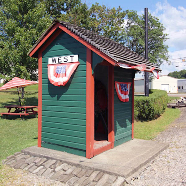
Washington, Pa / Jul 2019 / RWH
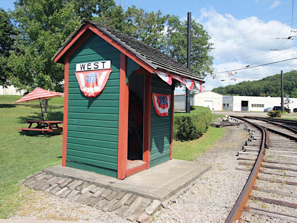
Washington, Pa / Jul 2019 / RWH
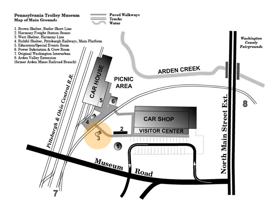
collection

In addition to more than a dozen long and high bridges, the Harmony Route constructed a variety of structures to handle passengers, freight traffic and electrical distribution. For many years, the museum was aware that buildings had survived as businesses at Keown, Wexford, Evans City, Ellwood City and Beaver Falls, but it wasn’t until 1989 that museum members discovered that one of the line’s original waiting shelters had been preserved in its original location at the border of Adams and Cranberry Townships in southwestern Butler County. Although the exact date is unknown, it is thought that the West shelter was erected around the time the line was opened in 1908. The stop name comes from the West farm on which it was originally located, but it was a farmer named Ziegler who built a house and barn adjacent to the stop to take advantage of shipping milk by trolley. Because of its rural location, West stop was also a popular summer retreat for city dwellers wishing to get back to nature. Near the stop were numerous camps and even a guest home. The shelter remained in its original location for several years after the line was abandoned but was eventually removed to a neighboring farm. In the early 1980s, local historian Jim English retrieved the building and returned it to its original location on his property, where it remained until donated to the Museum by his family in April 1992. West was extensively rebuilt in 1993 and put on display across from the Richfol platform. In 2012, additional rebuilting and repainting was undertaken as an Eagle Scout project.
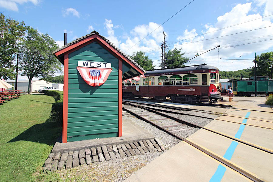
Washington, Pa / Jul 2019 / RWH
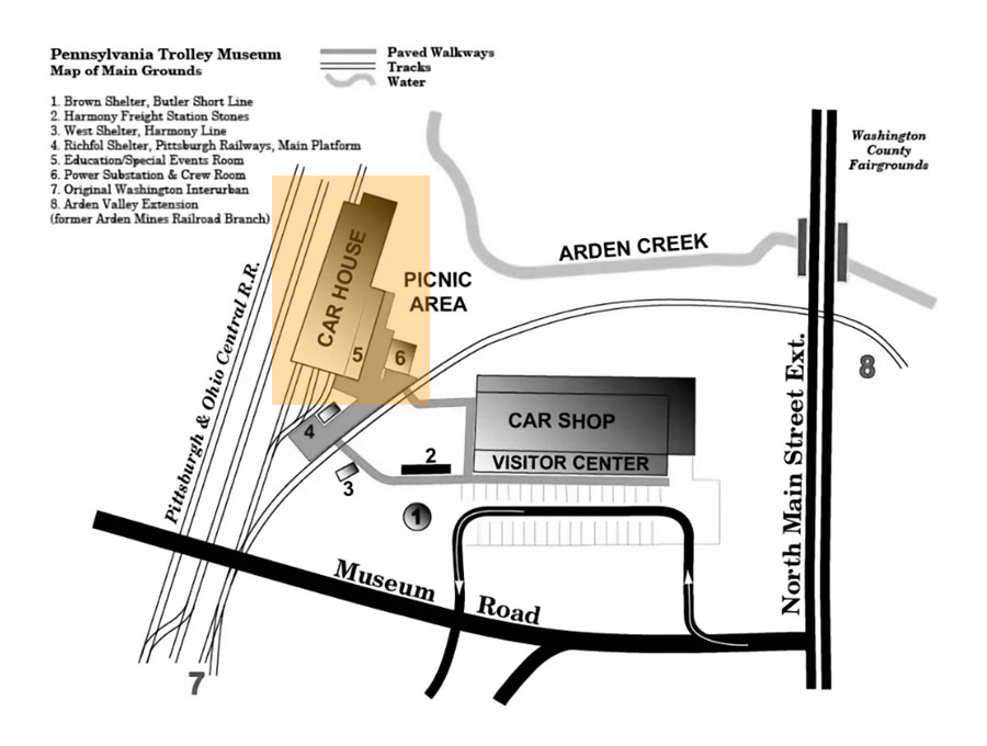
 Car House
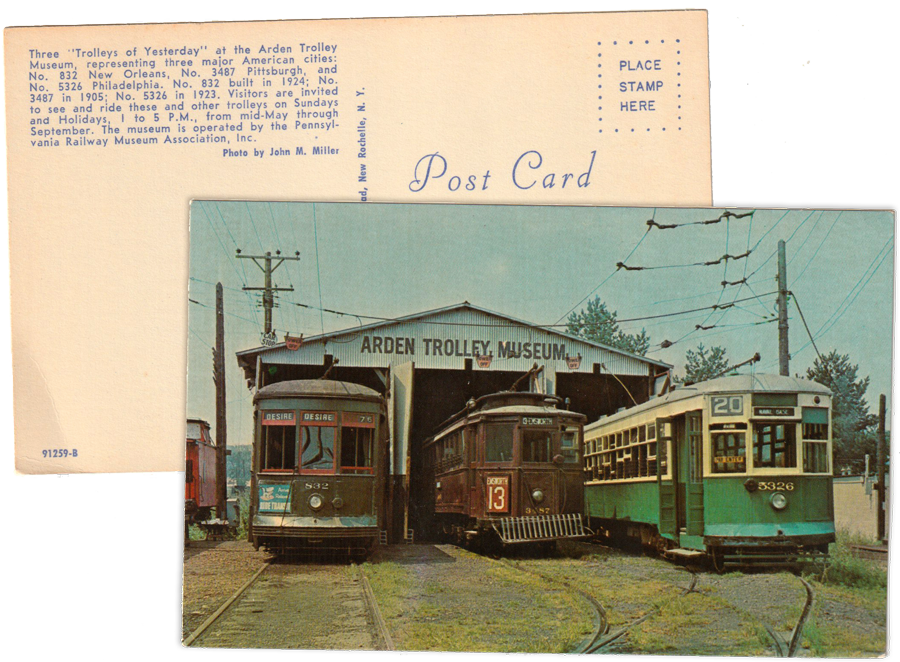
postcard / collection
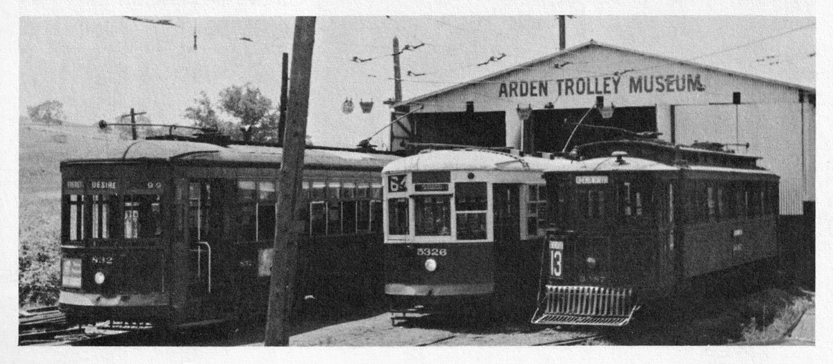
collection
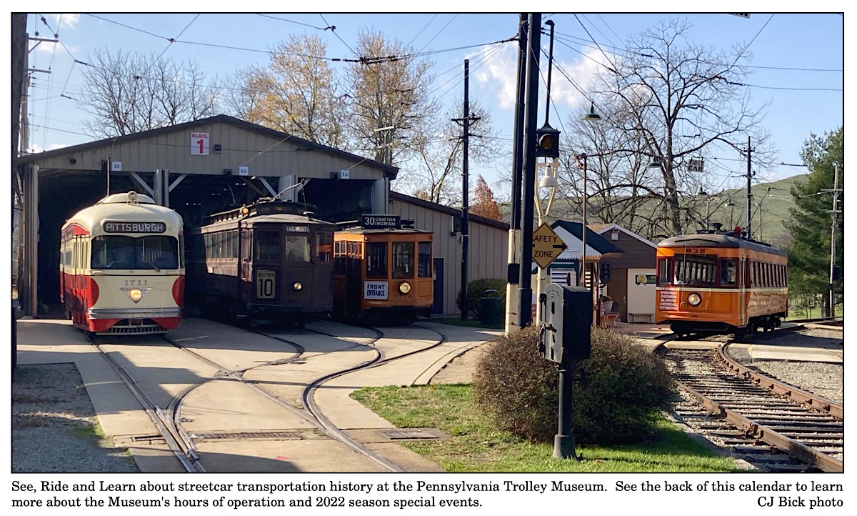
Pennsylvania Trolley Museum / collection
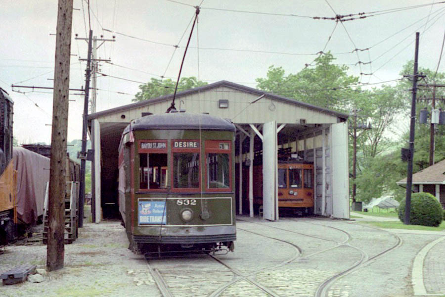
Washington, Pa / Jun 2003 / RWH

Click to see the Car House building plotted on a Google Maps page
collection
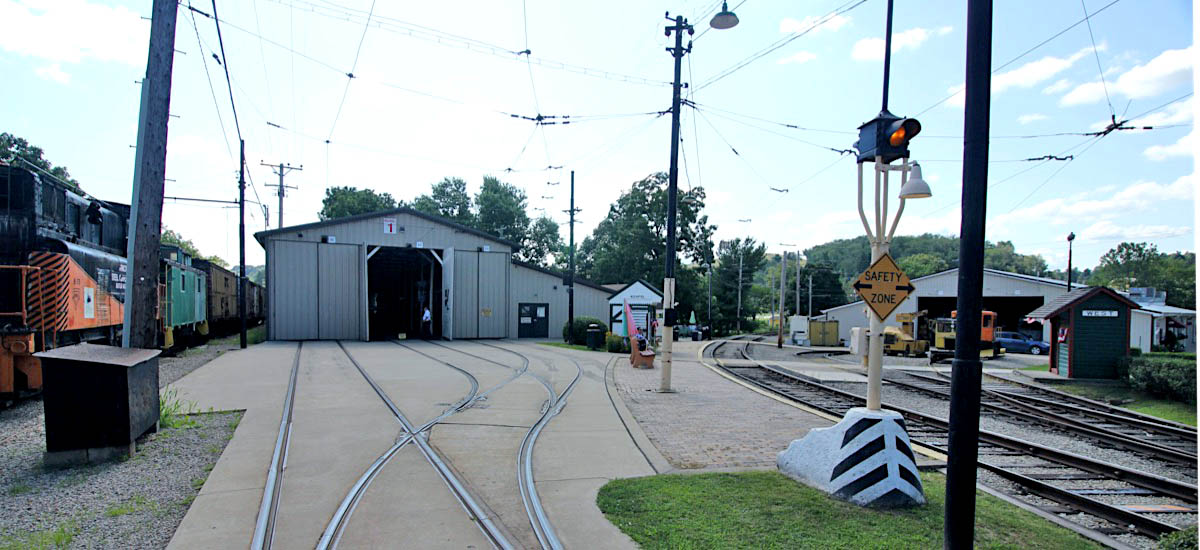
Washington, Pa / Jul 2019 / RWH
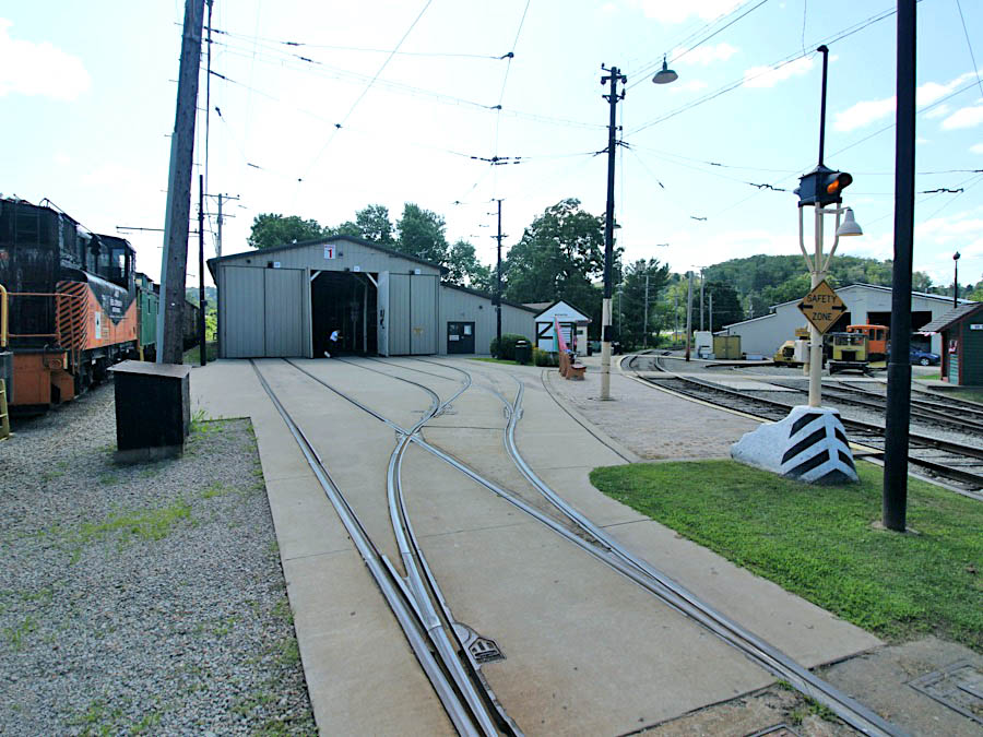
Washington, Pa / Jul 2019 / RWH
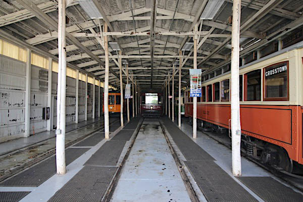
Washington, Pa / Jul 2019 / RWH
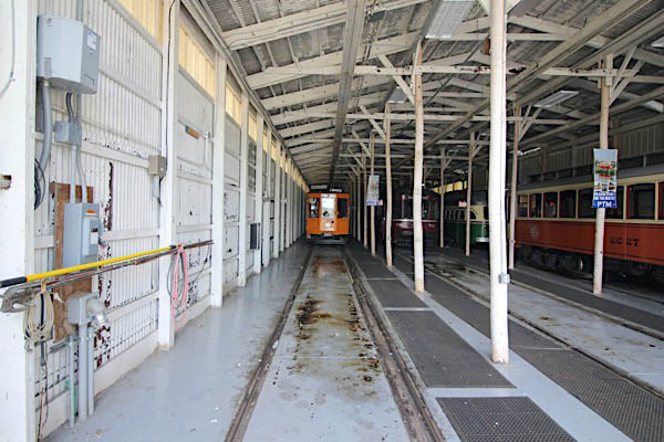
Washington, Pa / Jul 2019 / RWH
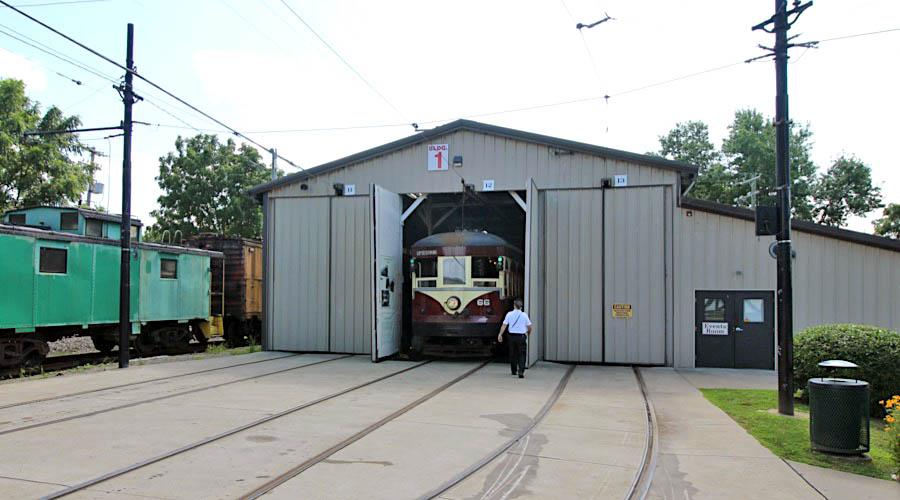
Washington, Pa / Jul 2019 / RWH
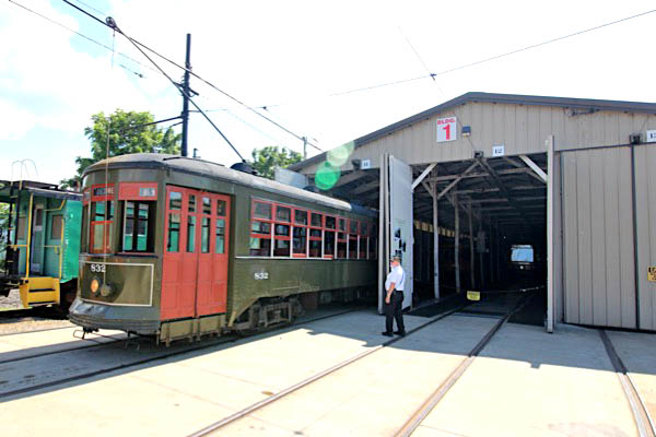
Washington, Pa / Jul 2019 / RWH
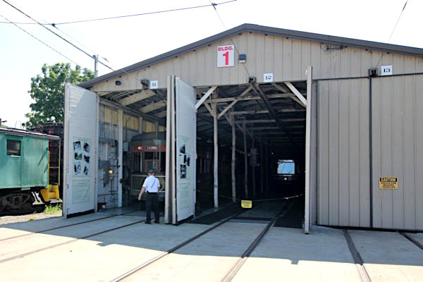
Washington, Pa / Jul 2019 / RWH
 Museum Road crossing
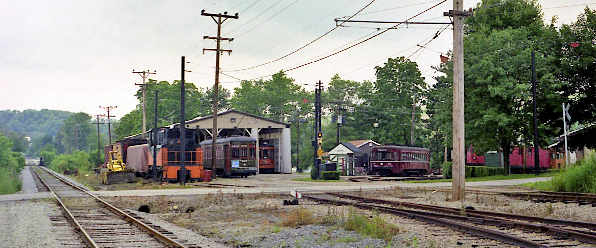
Washington, Pa / Jun 2003 / RWH
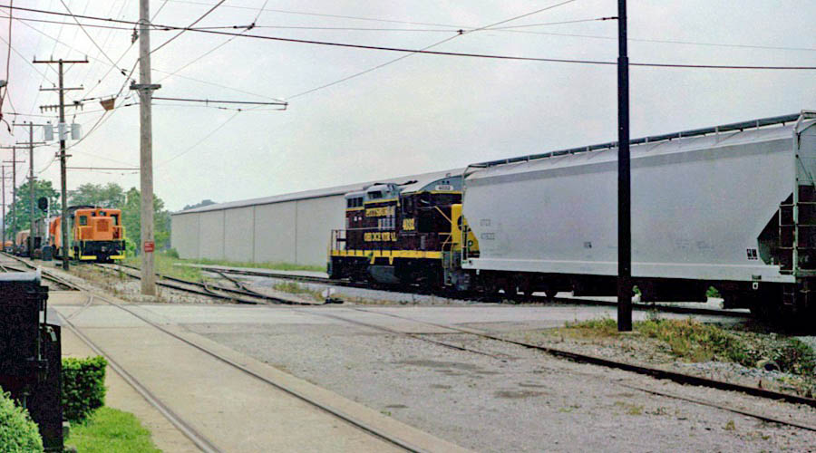
Washington, Pa / Jun 2003 / RWH

Click to see the Museum Road crossing plotted on a Google Maps page
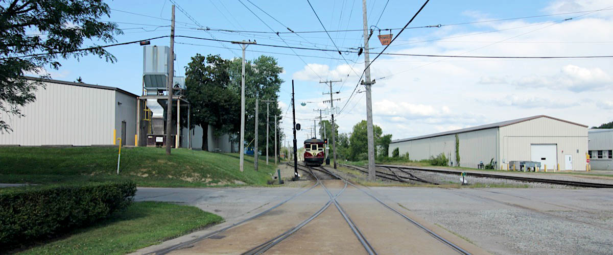
Washington, Pa / Jul 2019 / RWH
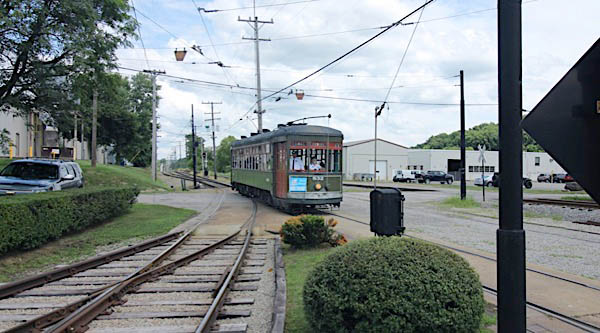
Washington, Pa / Jul 2019 / RWH
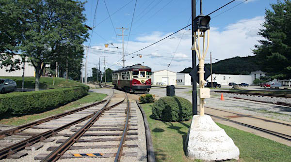
Washington, Pa / Jul 2019 / RWH
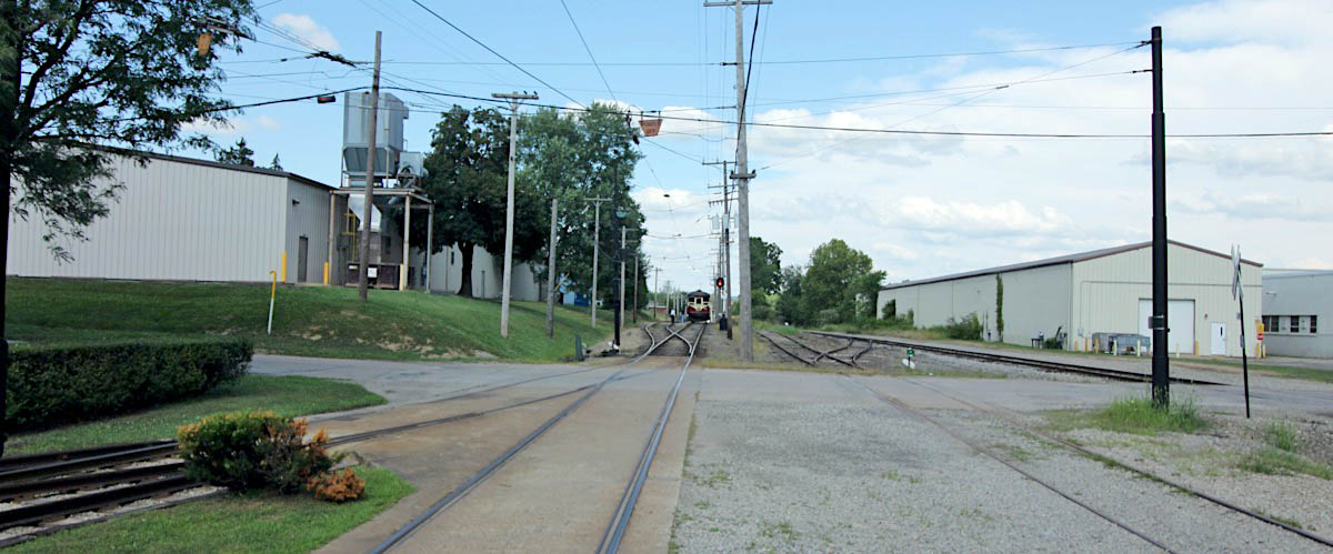
Washington, Pa / Jul 2019 / RWH
 Allison Shelter
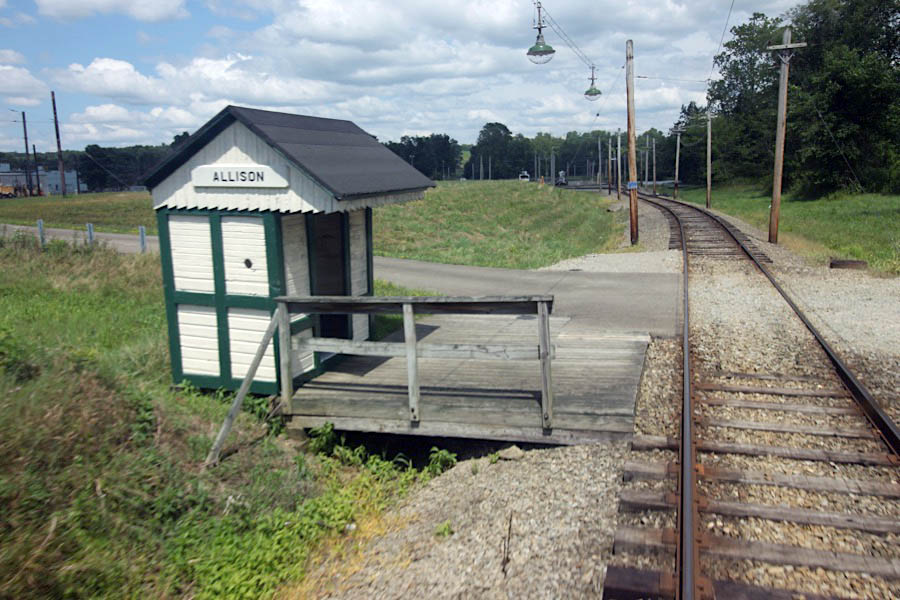
Washington, Pa / Jul 2019 / RWH

Click to see the Allison Shelter plotted on a Google Maps page

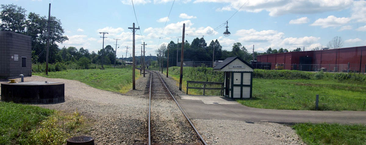 The Allison Shelter was located at the Allison Stop, near today’s intersection of Race Track Road and Pike Street in Meadow Lands. The Allison Shelter is a companion to the Richfol shelter at the Museum’s main passenger platform in front of the Founders’ Car House. Allison is and example of the shelters on the original Washington & Canonsburg portion of the line. These had different window arrangements from their counterparts on the northern end of the Washington line represented by Richfol.
The Allison Shelter was preserved by Albert and Delvin Miller founders of the Meadows harness racing track. These gentlemen preserved the shelter from their property in Meadow Lands and took it to their museum, Meadowcroft Village, in the 1970s. In 1994, Meadowcroft donated the structure to PTM and it was moved to the museum site. Volunteers rehabilitated it and placed it along the line. More recently it became the passenger shelter for visitors to the Trolley Display Building, and will one day be placed in the permanent display within our proposed visitor center.
 Trolley Display Building
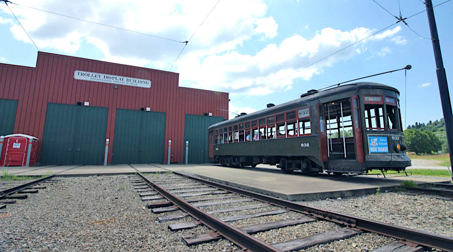
Washington, Pa / Jul 2019 / RWH

Washington, Pa / Jul 2019 / RWH

Washington, Pa / Jul 2019 / RWH

Click to see the Trolley Display Building plotted on a Google Maps page
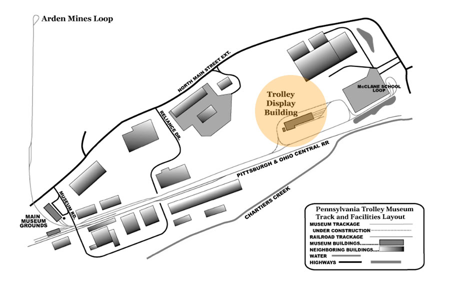
collection
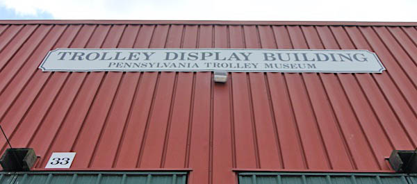
Jul 2019 / RWH
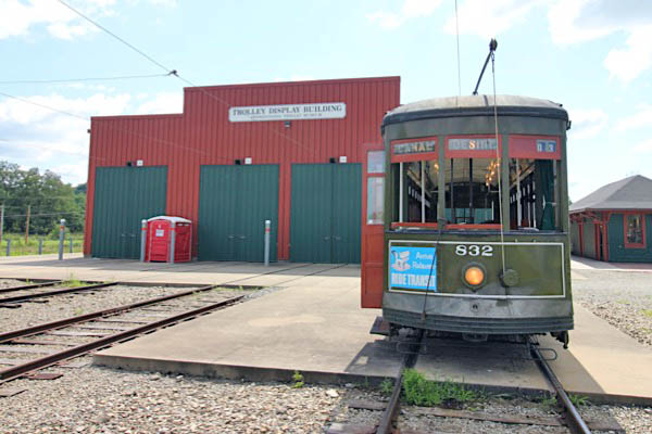
Jul 2019 / RWH
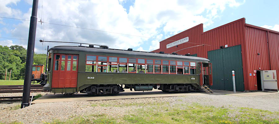
Washington, Pa / Jul 2019 / RWH
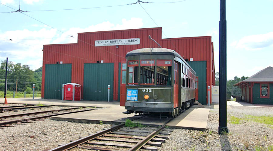
Washington, Pa / Jul 2019 / RWH
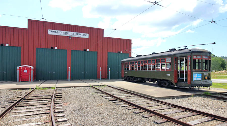
Washington, Pa / Jul 2019 / RWH
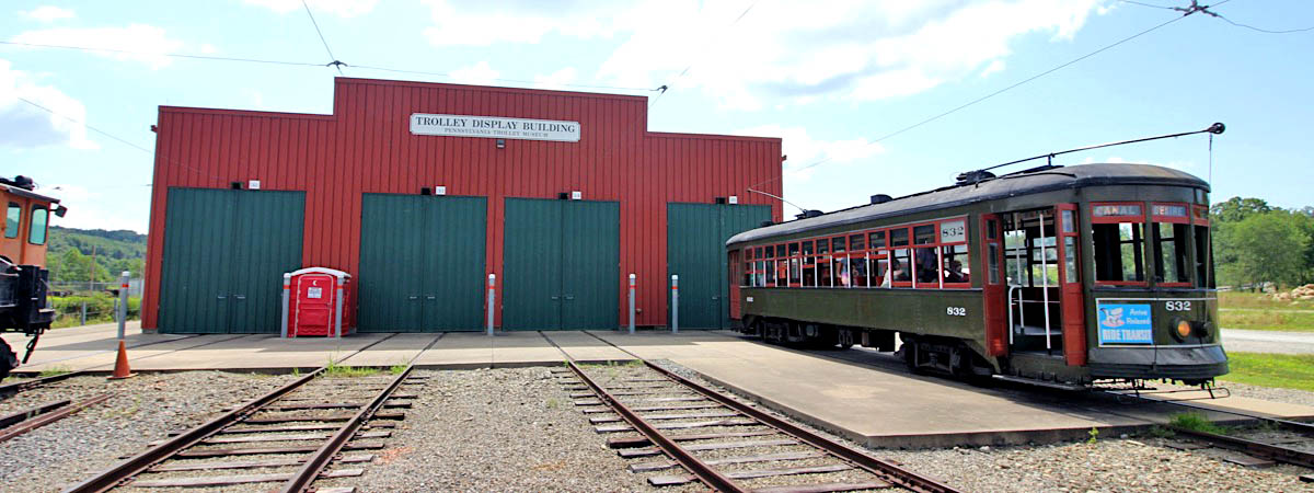
Washington, Pa / Jul 2019 / RWH
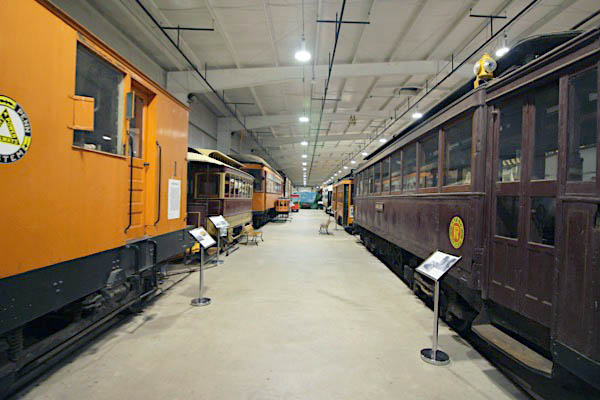
Washington, Pa / Jul 2019 / RWH
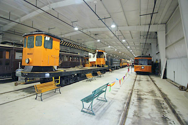
Washington, Pa / Jul 2019 / RWH
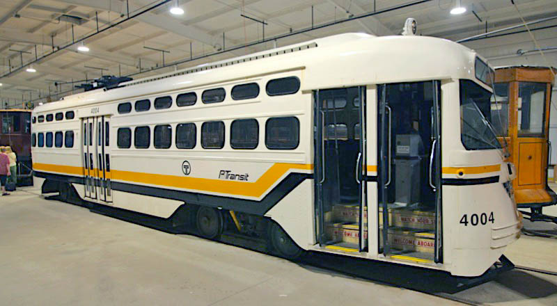
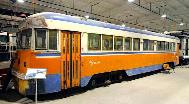
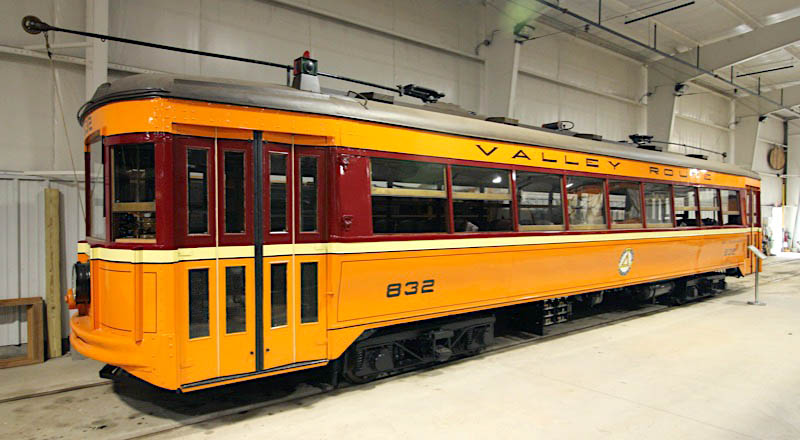
Washington, Pa / Jul 2019 / RWH
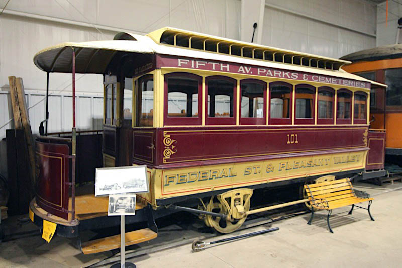
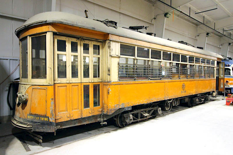
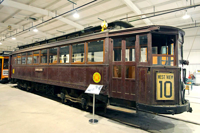
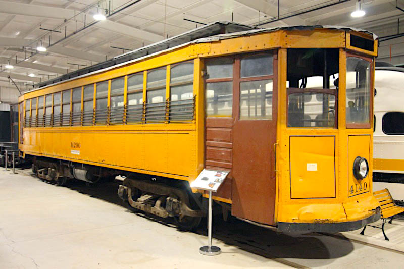
Washington, Pa / Jul 2019 / RWH
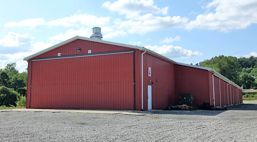
Building 4
Washington, Pa / Jul 2019 / RWH
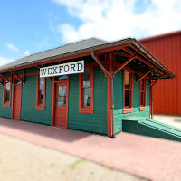
 Wexford Trolley Station
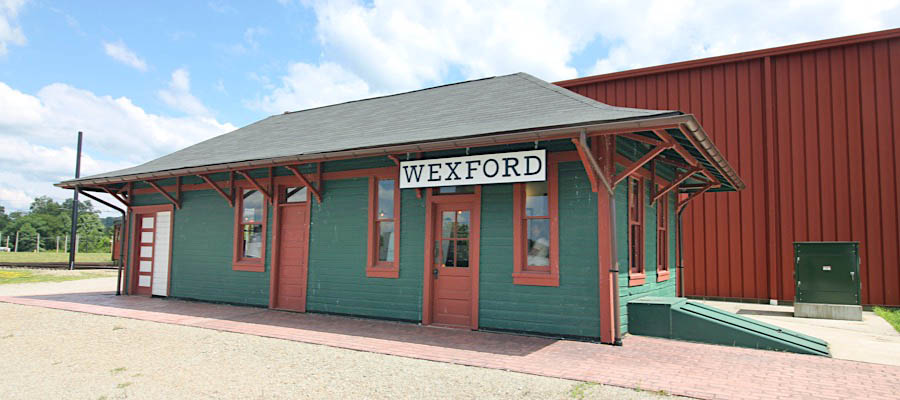
Washington, Pa / Jul 2019 / RWH
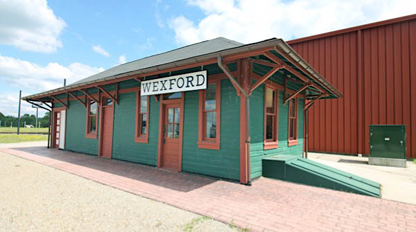
Washington, Pa / Jul 2019 / RWH
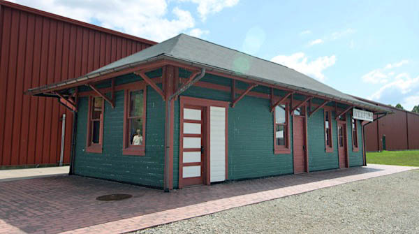
Washington, Pa / Jul 2019 / RWH

Click to see the Wexford Trolley Station plotted on a Google Maps page

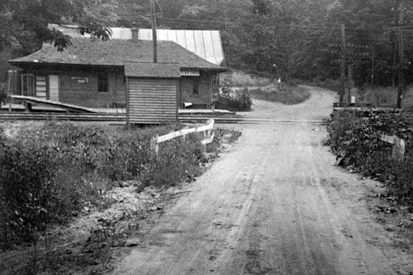 This building started life after construction of the Pittsburgh Harmony Butler & New Castle Railway in 1908. It is a wooden interurban trolley station that originally served trolley passengers, and later postal and deli customers. Its interesting history includes the 23 years it was used as a freight/passenger station for the Harmony Route, its relocation to the corner of Wexford-Bayne Road and Old Perry Highway in the village of Wexford in 1931, and its 83 years’ use as a post office, antique store, craft shop and deli. The exhibit includes the details of the building’s relocation to the Pennsylvania Trolley Museum in 2015.
The Wexford station building is remarkably well preserved and really helps to tell the fascinating story of interurban trolley service from Pittsburgh into the North Hills and nearby towns such as Evan City, Butler, Harmony, Zelienople, Ellwood City, Beaver Falls and New Castle where it connected to systems reaching Youngstown, Cleveland and Toledo. Always on exhibit at its location adjacent to the Trolley Display Building and will be open to visitors during special events.
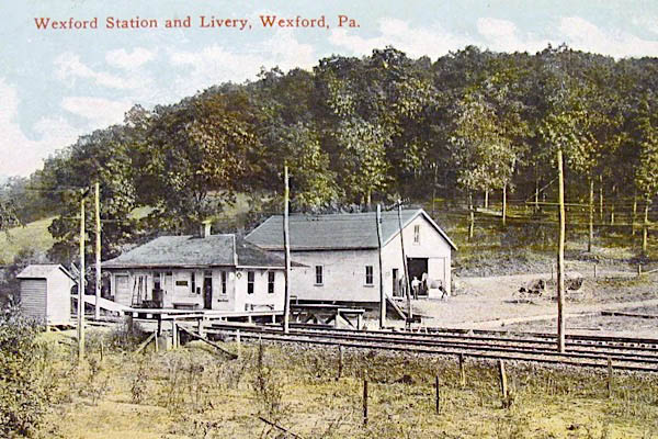
Pennsylvania Trolley Museum
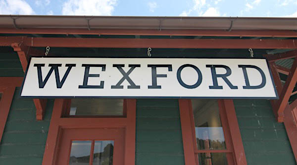
Jul 2019 / RWH
 McClane School Loop
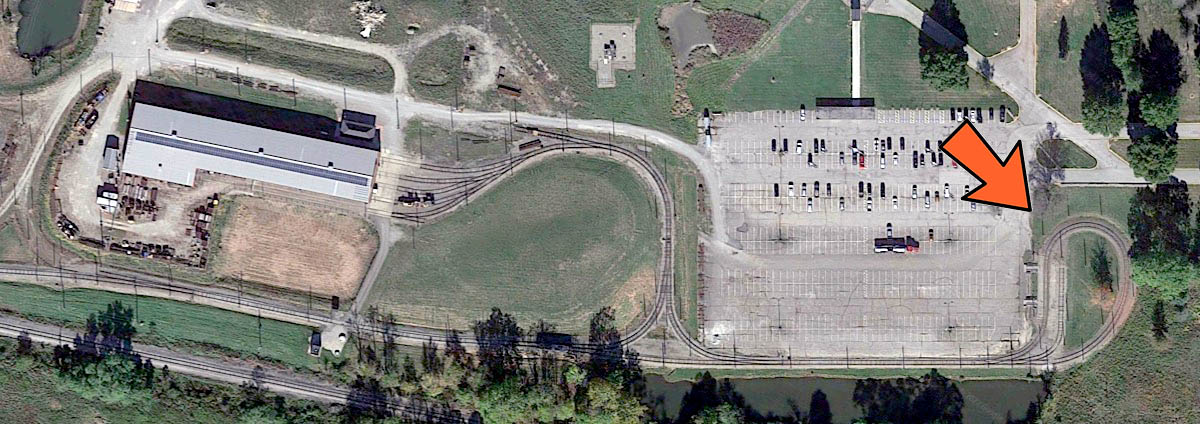
McClane loop overhead / Google Maps

Click to see the McClane School trolley loop plotted on a Google Maps page
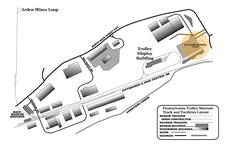
collection
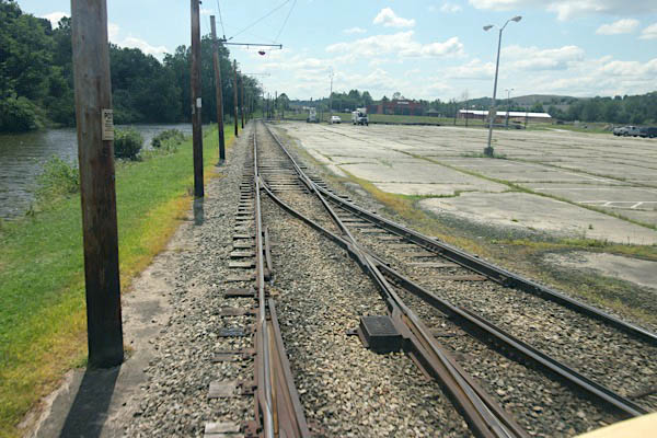
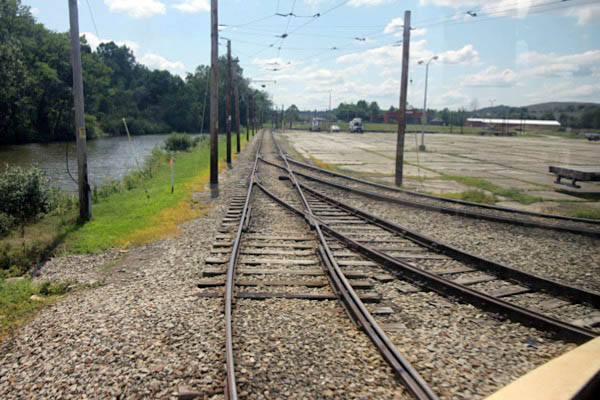
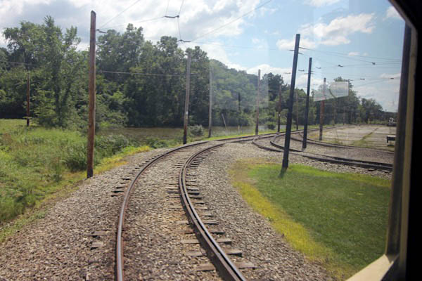
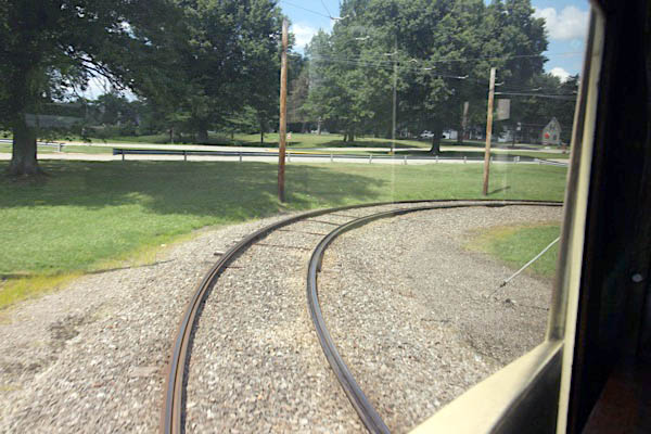
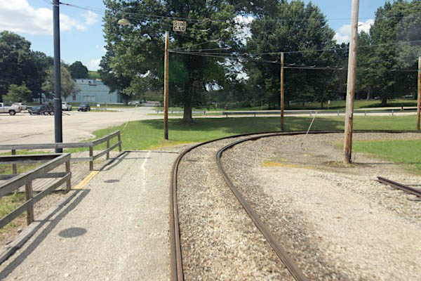
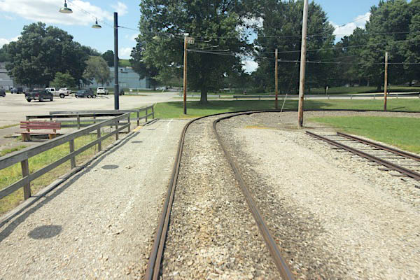
Washington, Pa / Jul 2019 / RWH
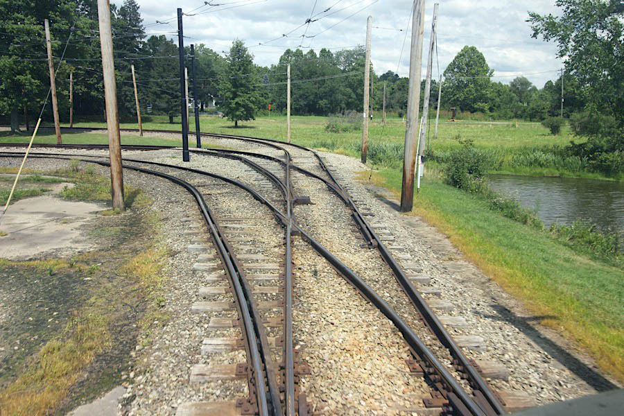
Washington, Pa / Jul 2019 / RWH
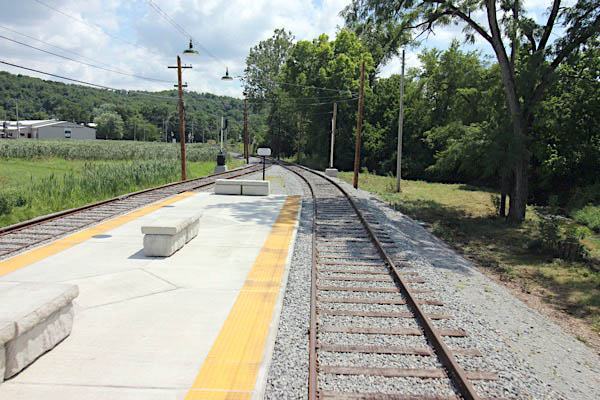
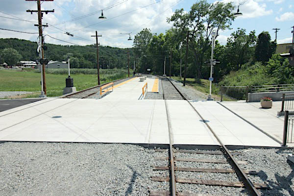
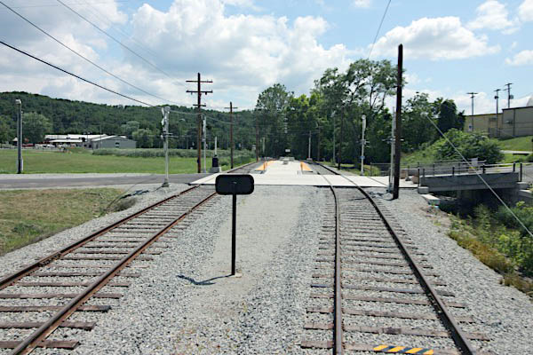
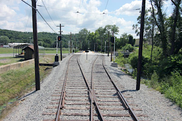
 Washington County Fairgrounds stop
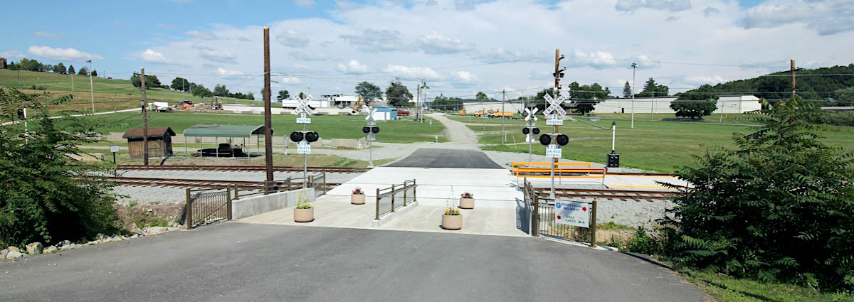
Washington, Pa / Jul 2019 / RWH

Click to see the Washington County Fairgrounds stop plotted on a Google Maps page

 arch 1822 — The "Washington County Society for the Promotion of Agricultural and Domestic Manufacture" was organized. This group was one of the first 19 groups of its kind to from in the United States (up to 1826). In 1822, fair was also held in a lot owned by James Ruth on East Maiden St., and in 1823 it was changed to the John Sample Farm which was located east on the National Pike. The top winner of the exhibition was James Gilmore, an he was awarded $16 for "the best Merino Ram and two best Merino Ewes and Best Brood Sow." Over the next few years, the fair was held on a lot on the southside of W. Chestnut St. on a lot owned by Samuel MacFarland.
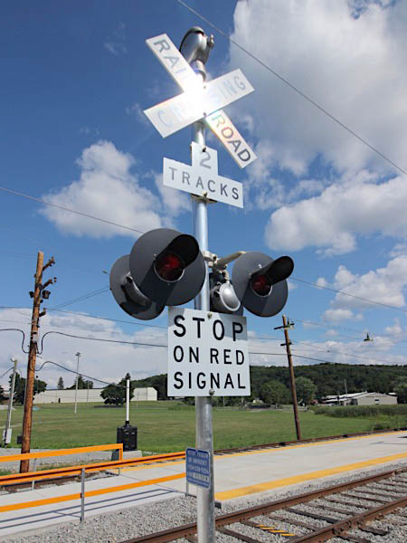
Jul 2019 / RWH
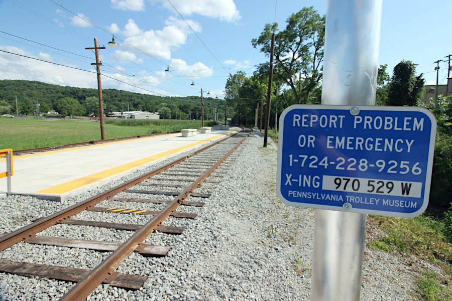
Washington, Pa / Jul 2019 / RWH
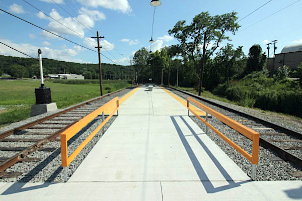
Washington, Pa / Jul 2019 / RWH
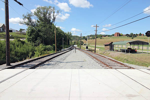
Washington, Pa / Jul 2019 / RWH
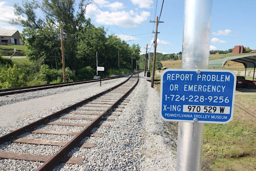
Washington, Pa / Jul 2019 / RWH
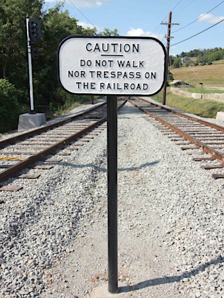
Jul 2019 / RWH
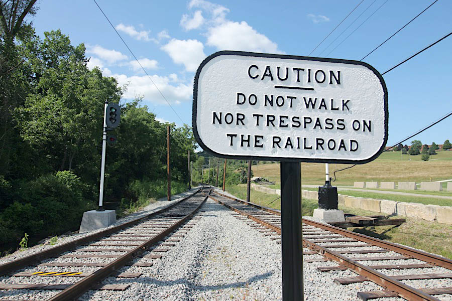
Washington, Pa / Jul 2019 / RWH
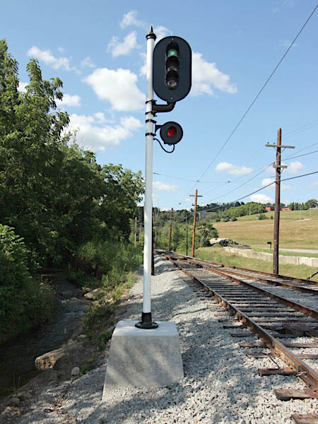
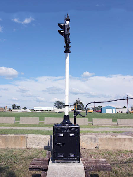
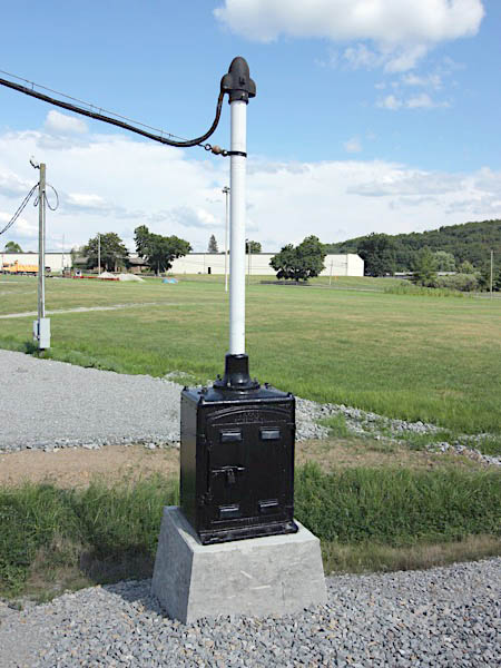
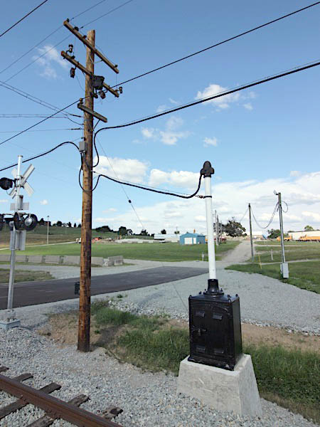
Washington, Pa / Jul 2019 / RWH
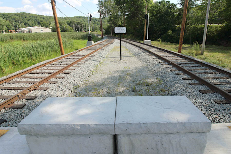
Washington, Pa / Jul 2019 / RWH
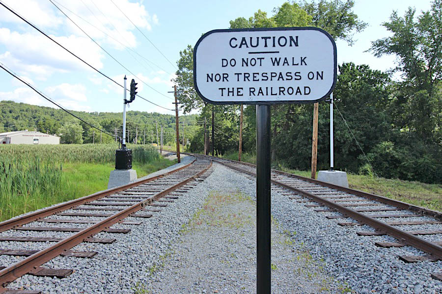
Washington, Pa / Jul 2019 / RWH
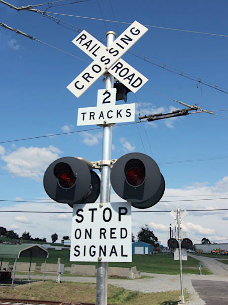
Jul 2019 / RWH
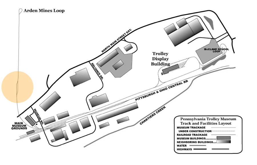
collection
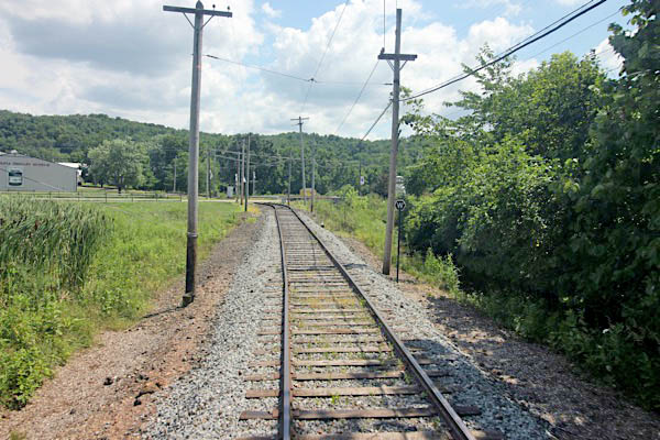
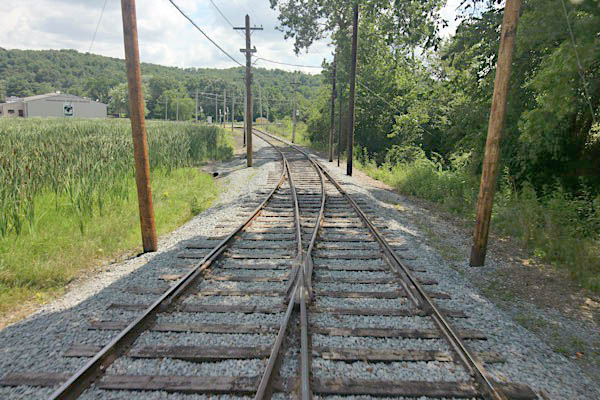
Washington, Pa / Jul 2019 / RWH
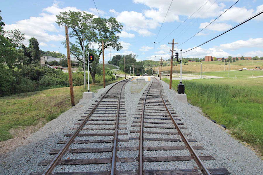
Washington, Pa / Jul 2019 / RWH
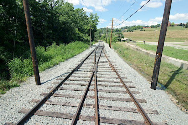
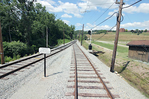
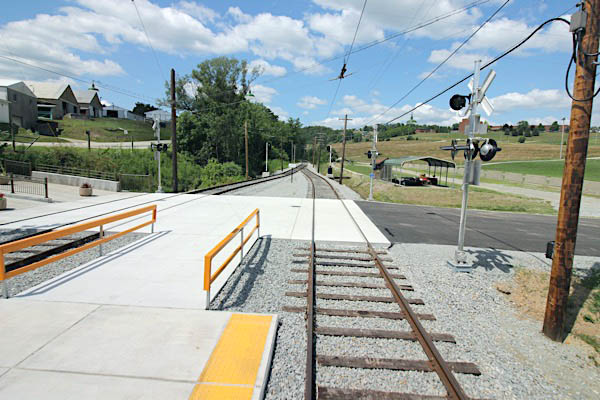
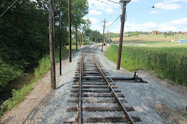
Washington, Pa / Jul 2019 / RWH
 Arden Mines Loop
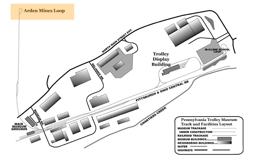
collection
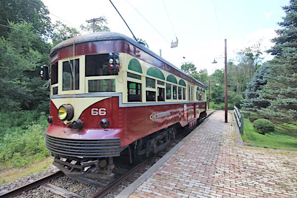
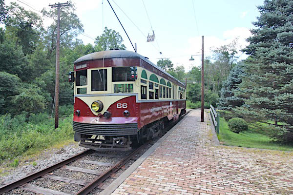
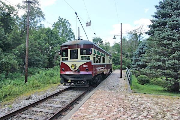
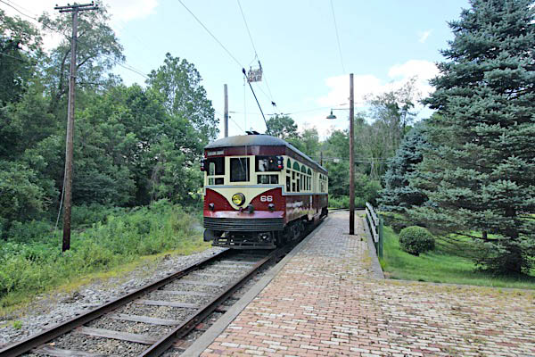
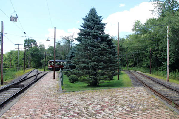
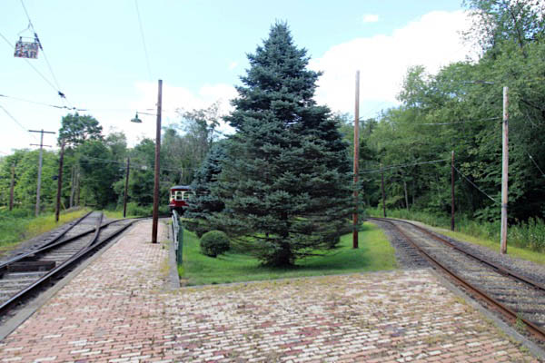
Washington, Pa / Jul 2019 / RWH

Click to see the Arden Mines trolley loop plotted on a Google Maps page
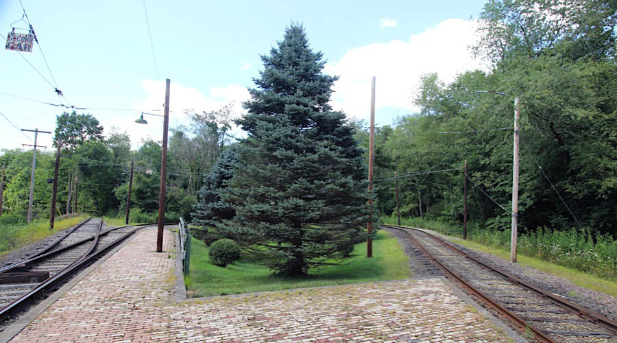
Washington, Pa / Jul 2019 / RWH
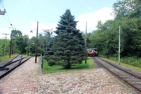
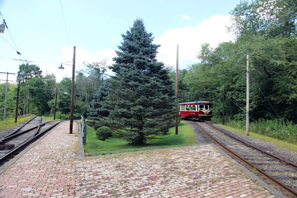
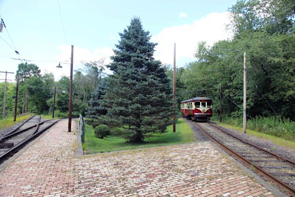
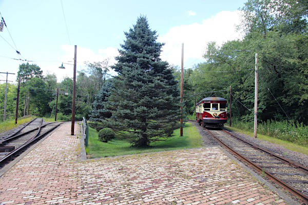
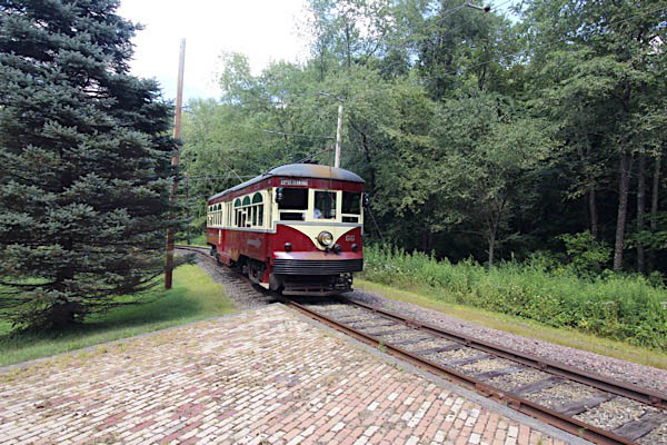
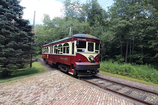
Washington, Pa / Jul 2019 / RWH
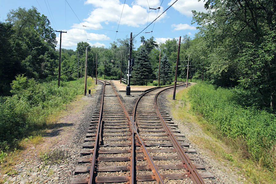
Washington, Pa / Jul 2019 / RWH
 Signage

collection
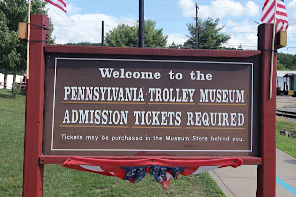
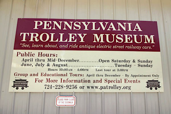
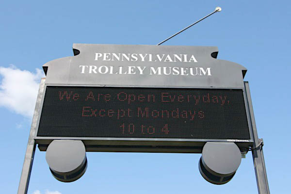
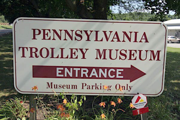
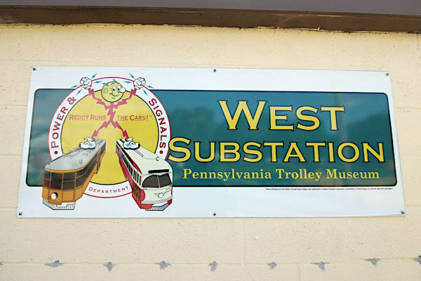
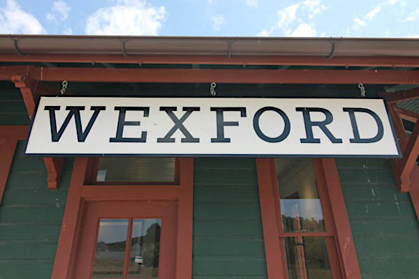
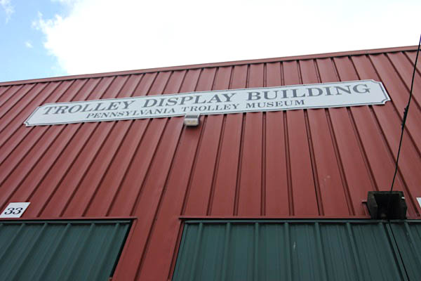
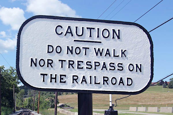
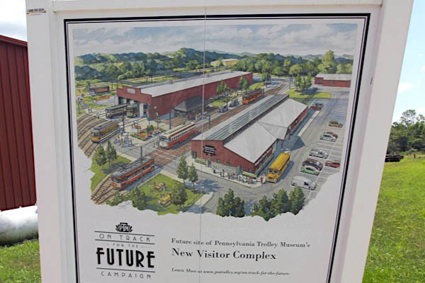
Washington, Pa / Jul 2019 / RWH

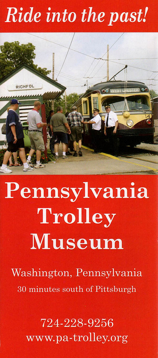
 arch 1822 — The "Washington County Society for the Promotion of Agricultural and Domestic Manufacture" was organized. This group was one of the first 19 groups of its kind to from in the United States (up to 1826). In 1822, fair was also held in a lot owned by James Ruth on East Maiden St., and in 1823 it was changed to the John Sample Farm which was located east on the National Pike. The top winner of the exhibition was James Gilmore, an he was awarded $16 for "the best Merino Ram and two best Merino Ewes and Best Brood Sow." Over the next few years, the fair was held on a lot on the southside of W. Chestnut St. on a lot owned by Samuel MacFarland.
