
Preservation
Duquesne Incline"The best views of downtown Pittsburgh" |
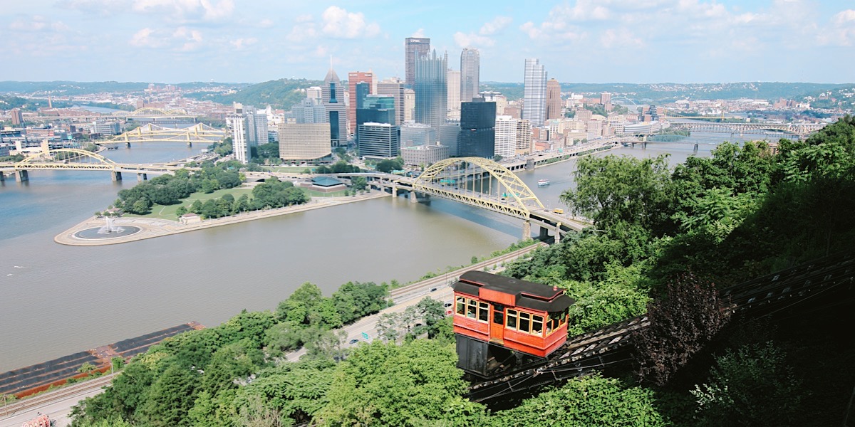
Mount Washington, Pa / Jul 2019 / RWH

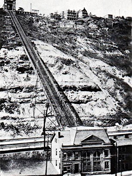 The Duquesne Incline is one of those which follows very closely the tracks of an early coal hoist. Old newspapers indicate the existence of such a conveyance as early as 1854. Residents apparently referred to it as "Kirk Lewis' incline" and located it on the present site of The Duquesne Incline's Upper Station. Grandview Avenue was then the High Street, and the area was just beginning to be converted from farmland to homesites. This pleasantly-situated acreage was an excellent area to absorb some of the expanding population of the city, but the problem of easy access was still to be solved.
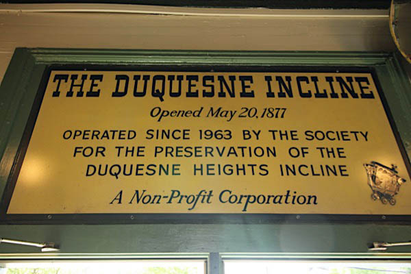
Although plans for a freight and passenger incline are known to have existed much earlier, financial backing was exceedingly hard to find -- even the modest sum of $47,000 -- and actual construction was delayed. Eventually, of course, difficulties were overcome and the Incline was built. It was opened to the public May 20, 1877.

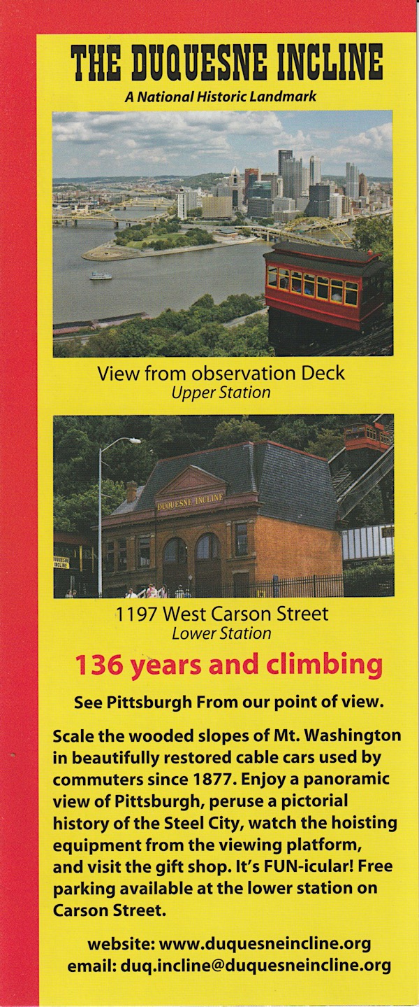
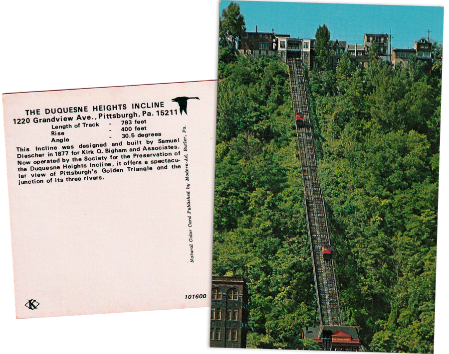
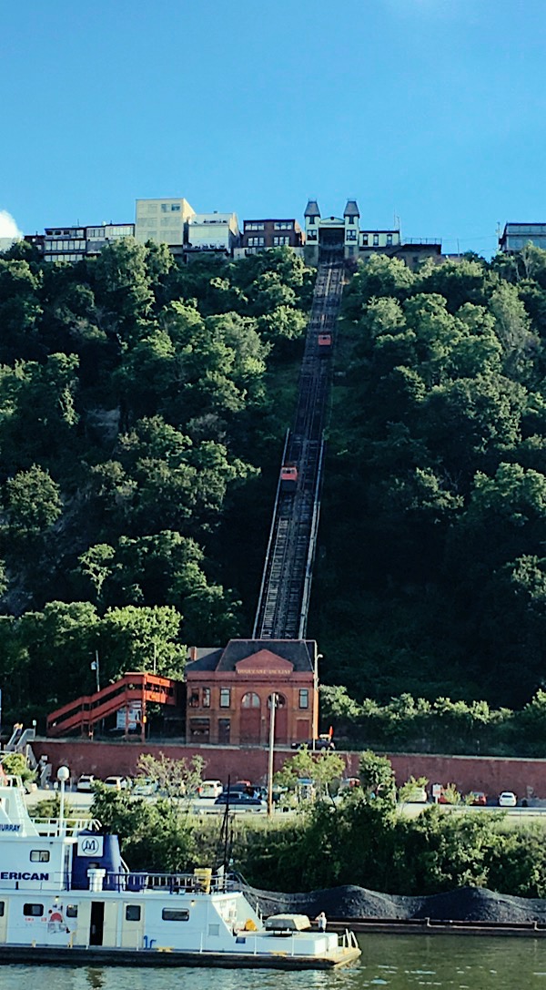
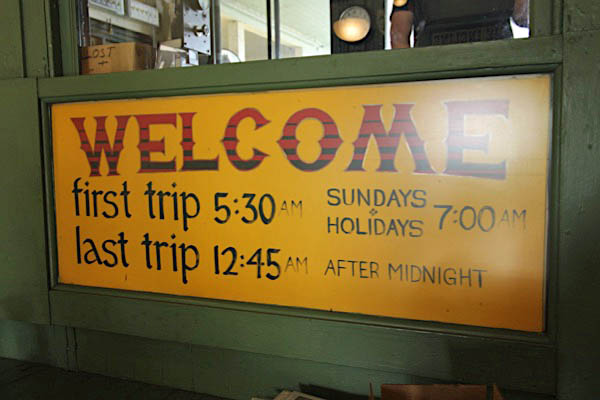
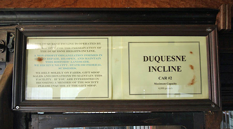
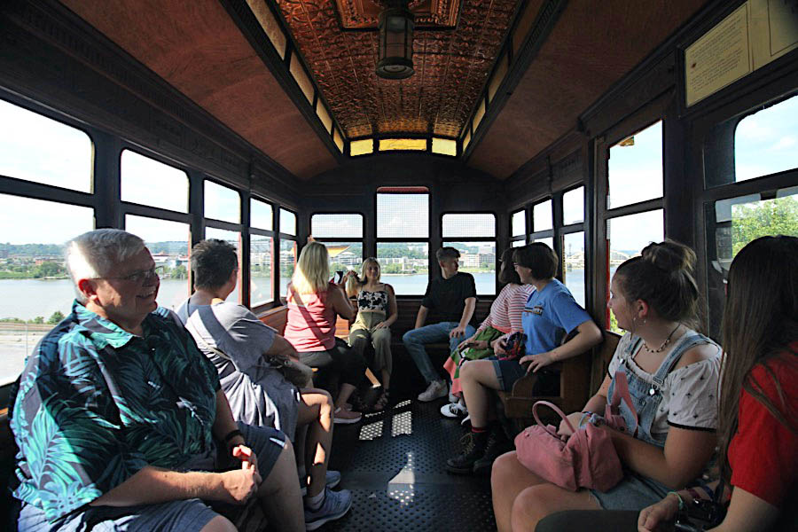
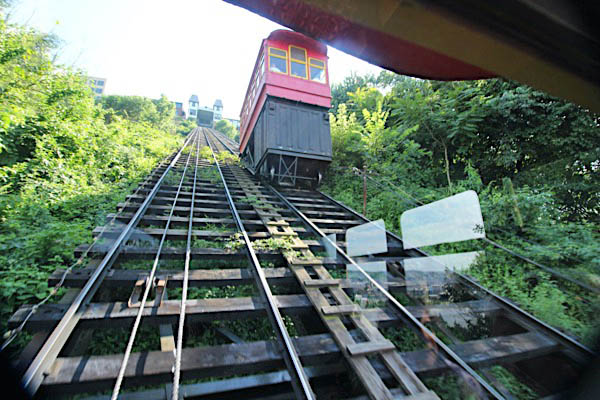
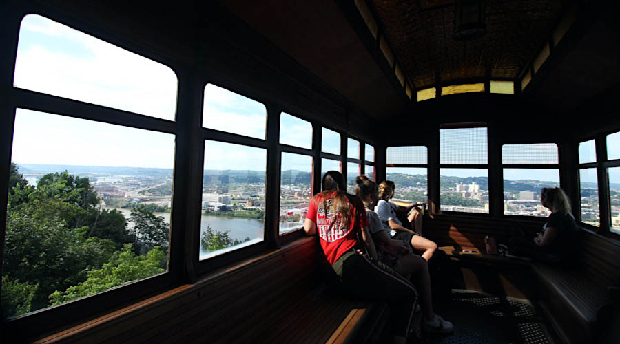
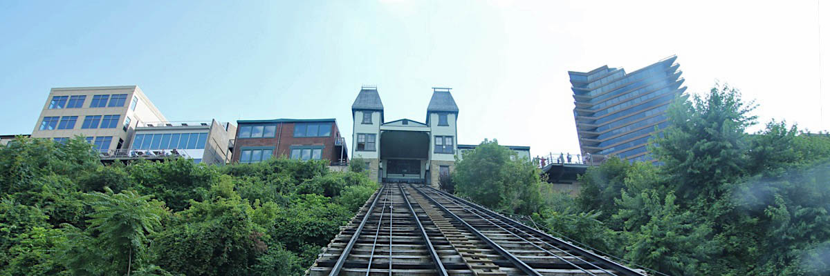
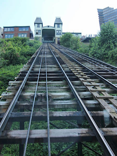
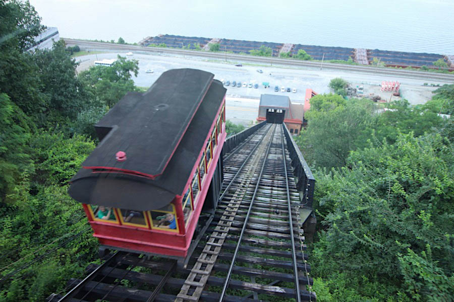
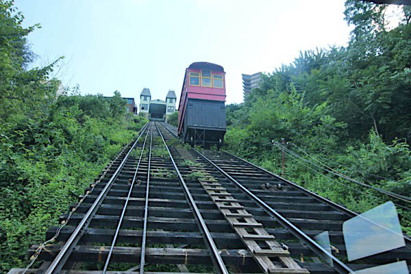
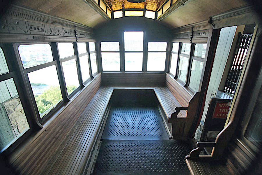
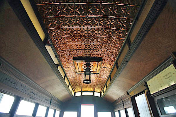
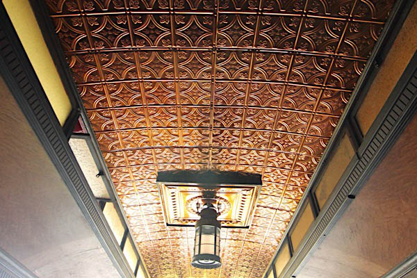
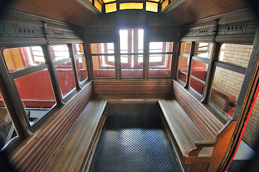
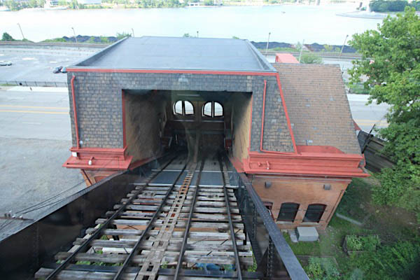
 pened in 1877 for public transportation up the side of Pittsburgh's Mt. Washington, the historic Duquesne Incline remains in operation today with wooden cable cars built by J. G. Brill and Company of Philadelphia. The funicular operation is 800 feet long, 400 feet in height, inclined at a 30 degree angle, and operates on a 5' track gauge. Two cars are counterbalanced against one another, passing each other in the middle of the incline. Designed by Samuel Diescher, the cars originally ran on steam power and were used to transport cargo up and down the mountain. Owned and operated by the Duquesne Inclined Plane Company, the system was later converted to passenger commuter service and to electrical lift power. By 1960, with many roads up and down Mt. Washington, only two of the many previous inclines remained in operation in Pittsburgh's South Side; of those two, the Duquesne closed in 1962. However, local residents soon responded with grass-roots funding and the formation of the Society for the Preservation of the Duquesne Heights Incline, in 1964. The society has maintained and operated the incline since then, although the property is now owned by the Port Authority of Allegheny County. Cars run from sunrise to midnight.
collection
Duquesne Incline map / collection
postcard / collection

See also these related Pittsburgh scrapbooks:
Locations
Jun 2016 / RWH
Jul 2019 / RWH
Jul 2019 / RWH
 Lower Station
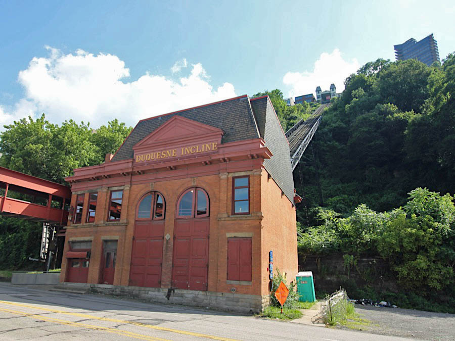
Pittsburgh, Pa / Jul 2019 / RWH

Click to see the Duquesne Lower Station plotted on a Google Maps page
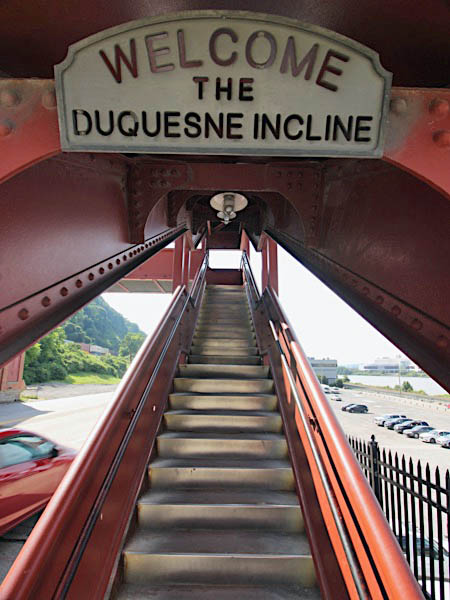
Pittsburgh, Pa / Jul 2019 / RWH
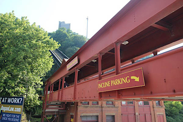
Pittsburgh, Pa / Jul 2019 / RWH
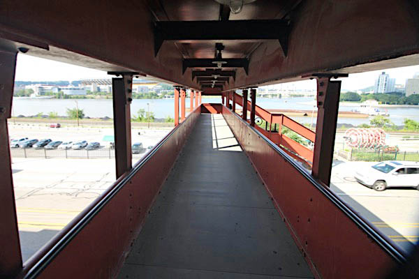
Pittsburgh, Pa / Jul 2019 / RWH
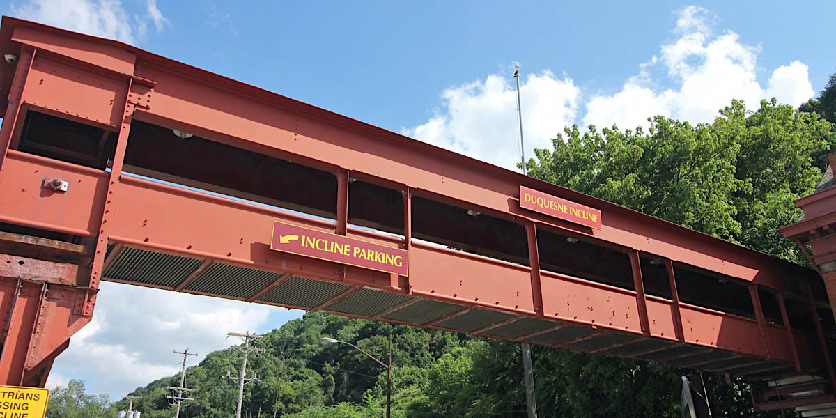
Pittsburgh, Pa / Jul 2019 / RWH
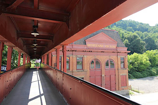
Pittsburgh, Pa / Jul 2019 / RWH
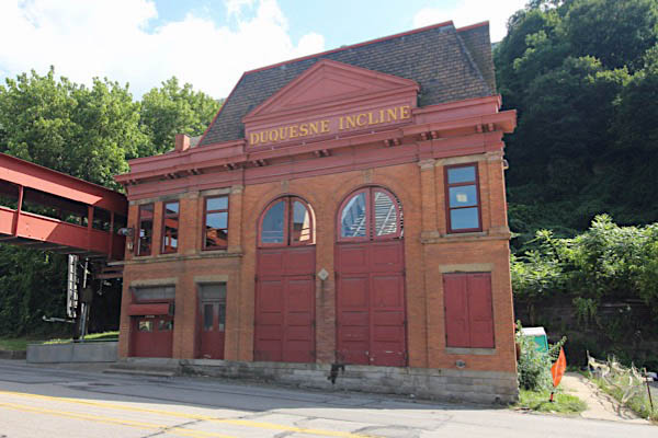
Pittsburgh, Pa / Jul 2019 / RWH
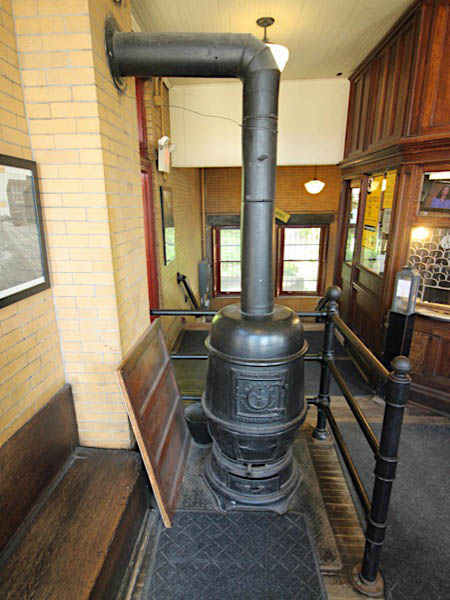
Jul 2019 / RWH
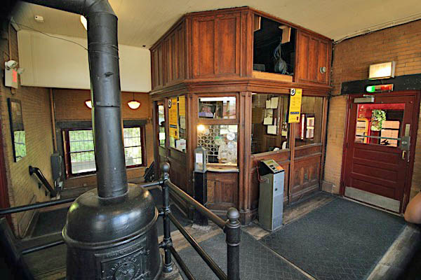
Jul 2019 / RWH
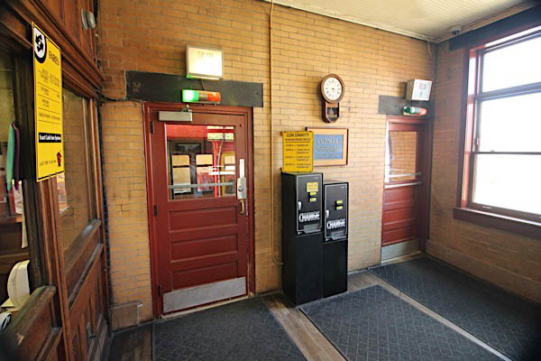
Jul 2019 / RWH
 Upper Station
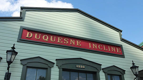
Jul 2019 / RWH
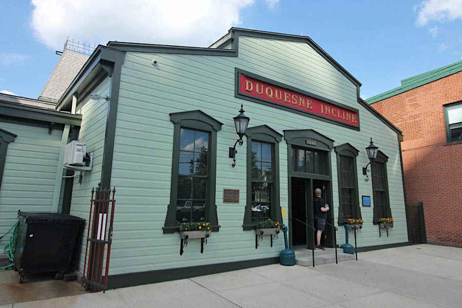
Mount Washington, Pa / Jul 2019 / RWH

Click to see the Duquesne Upper Station plotted on a Google Maps page
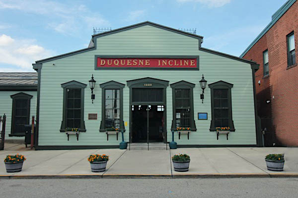
Mount Washington, Pa / Jul 2019 / RWH
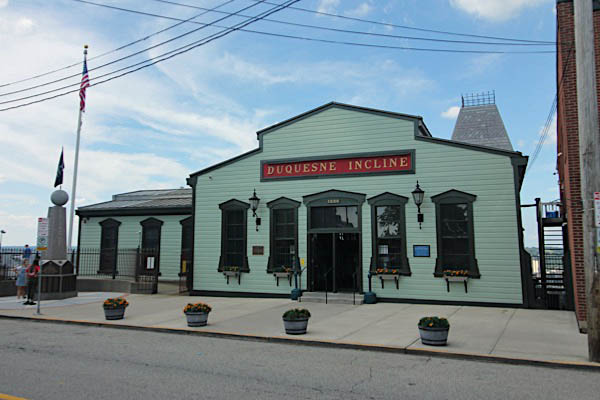
Mount Washington, Pa / Jul 2019 / RWH
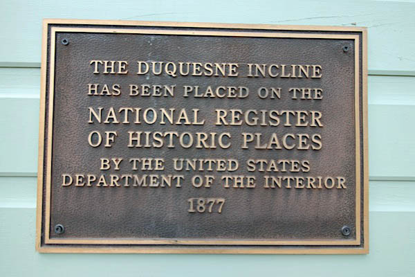
Jul 2019 / RWH
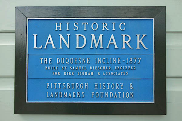
Jul 2019 / RWH
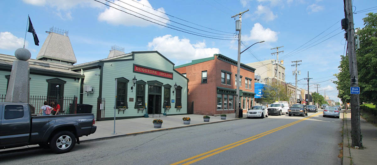
Mount Washington, Pa / Jul 2019 / RWH
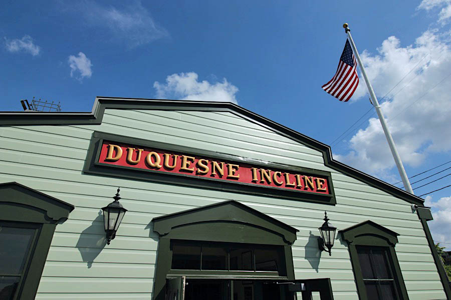
Mount Washington, Pa / Jul 2019 / RWH
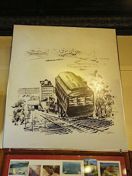
Jul 2019 / RWH
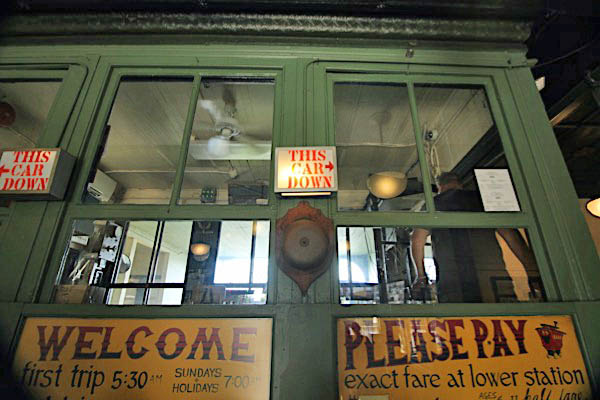
Jul 2019 / RWH
Jul 2019 / RWH
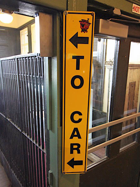
Jul 2019 / RWH
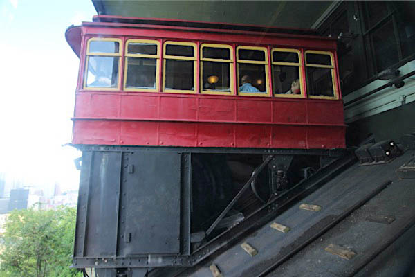
Jul 2019 / RWH
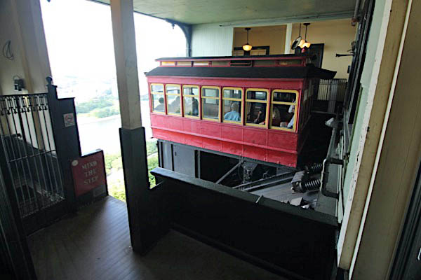
Jul 2019 / RWH
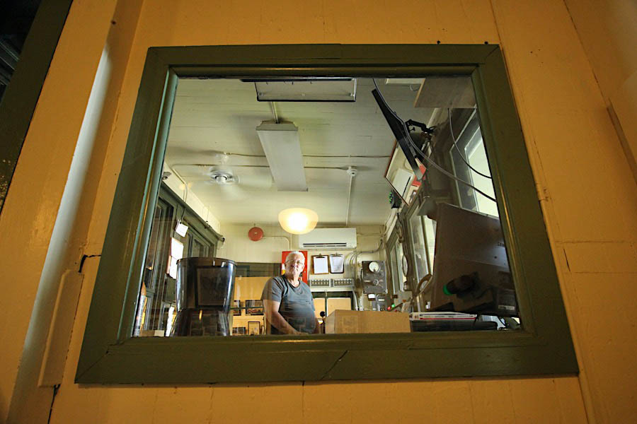
Jul 2019 / RWH
 Machinery Room
Jul 2019 / RWH
RWH
Jul 2019 / RWH
Jul 2019 / RWH
Jul 2019 / RWH
Jul 2019 / RWH
Jul 2019 / RWH
Jul 2019 / RWH

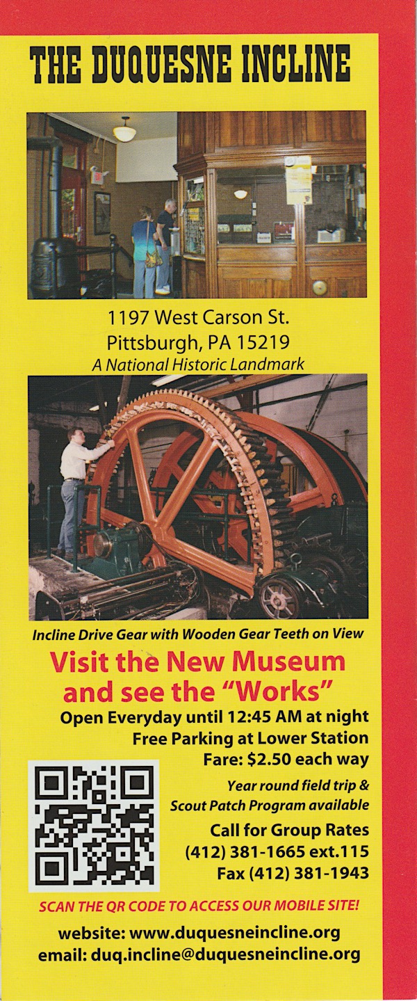
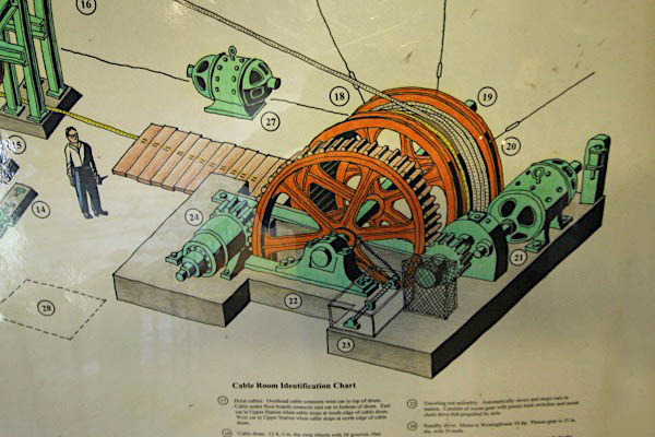
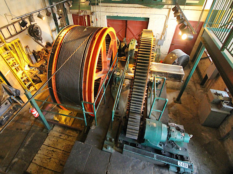
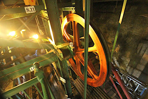
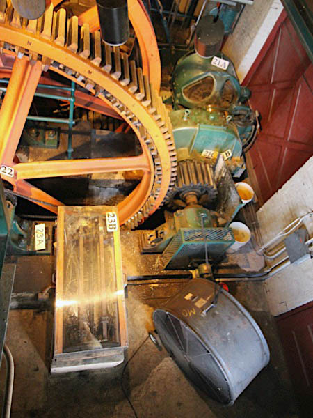
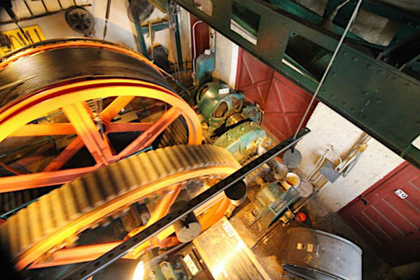
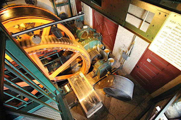
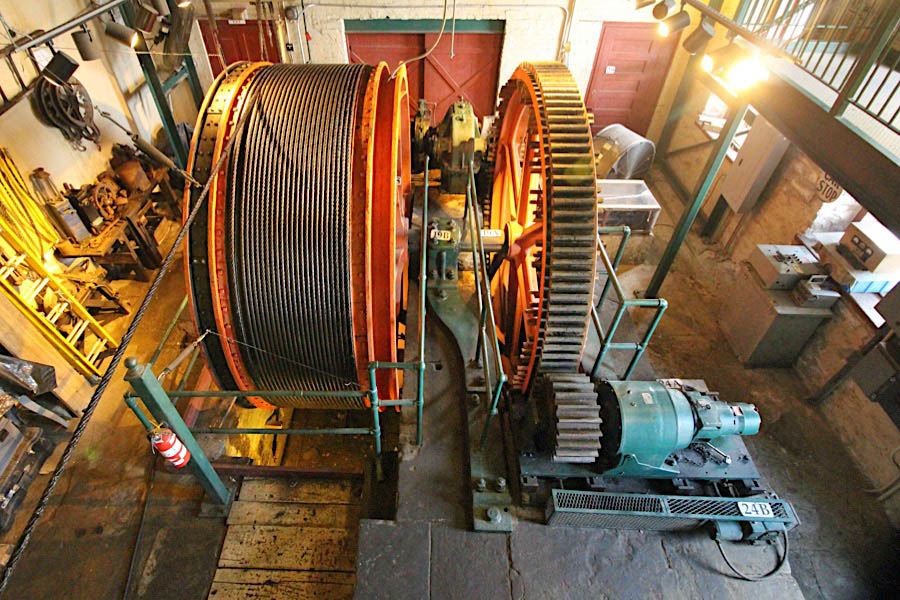
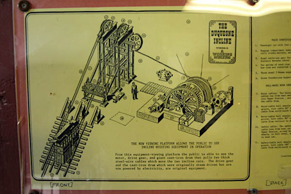
The original steam drive was converted to electricity in 1932. Forty years later, Westinghouse rectifiers replaced the first electrical equipment, providing a modern, maintenance-free drive system for the Incline. Motion is communicated to the cars by means of a cast-iron drum carrying two one-and-one-eighth-inch (1 1/8-inch) steel-wire cables. Each cable is approximately 900 feet long and capable of sustaining a perpendicular strain of 50 tons. The actual working strain is about one-twentieth (1/20) of that amount.
A safety cable is also in constant use. It passes around a system of sheaves so arranged that should the working cable break, the safety cable can takeup the load. A hand-operated airbrake can bring sufficient friction to bear upon the cable drum to stop its rotation as well as the rotation of the sheaves carrying the safety cable.
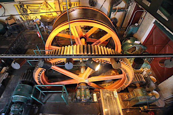
The single drum is twelve feet in diameter and three feet, ten inches wide. It has grooved periphery into which both pulling cables wind. The original cable drum and the original wooden-toothed drive gear are still in use and operate perfectly. Replacement teeth of aged rock maple are on hand to be inserted when needed. The continued survival in good condition of this equipment is an outstanding tribute to the engineering skills of the designers and builders of the nineteenth century.
An unusual feature of The Duquesne Incline is the location of the hoisting machinery at right angles with the plane. This method was adopted initially to save the expense of buying an additional piece of real estate. One of the results has been that both working cables are wound on the single, grooved drum.
Jul 2019 / RWH
Jul 2019 / RWH
Jul 2019 / RWH
Ride
Jul 2019 / RWH
Jul 2019 / RWH
Jul 2019 / RWH
Jul 2019 / RWH
Jul 2019 / RWH

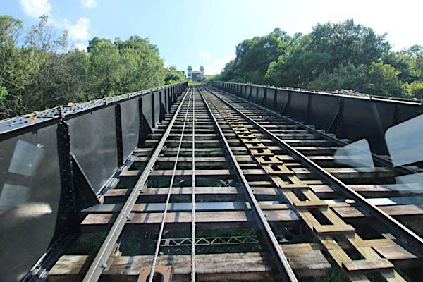
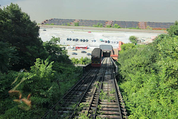
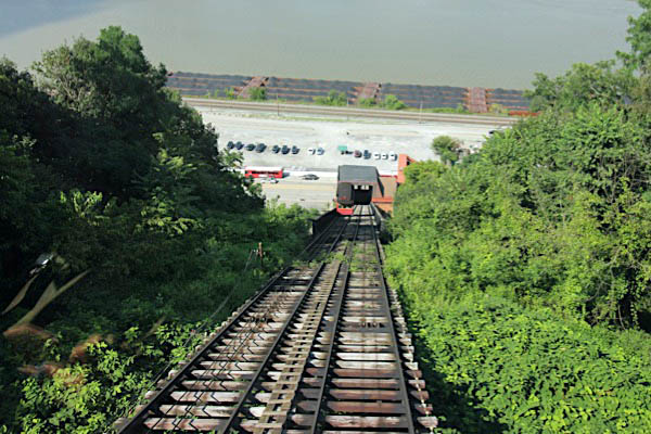
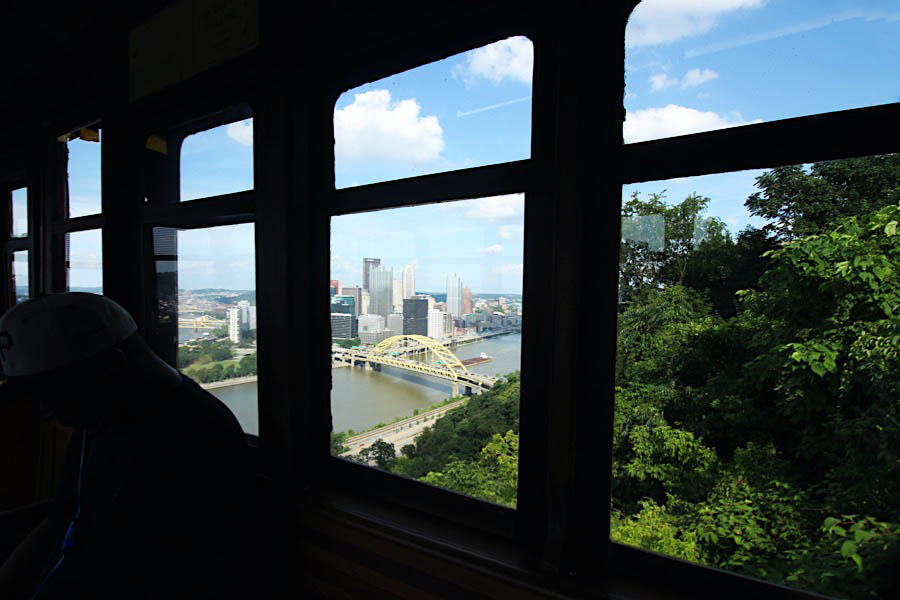
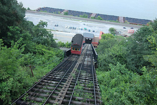
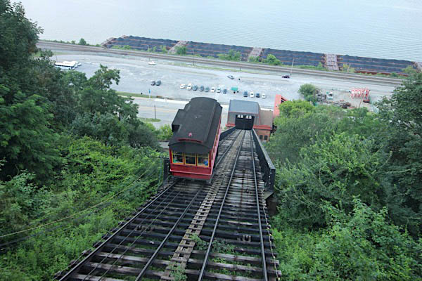
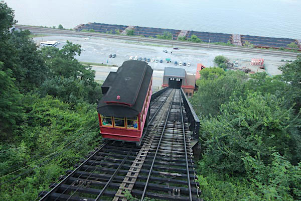
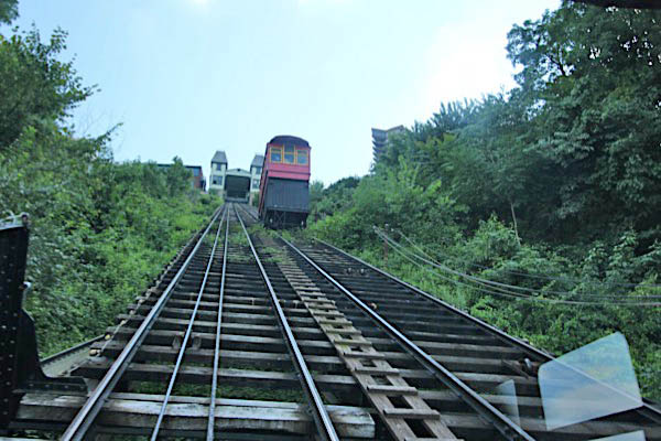
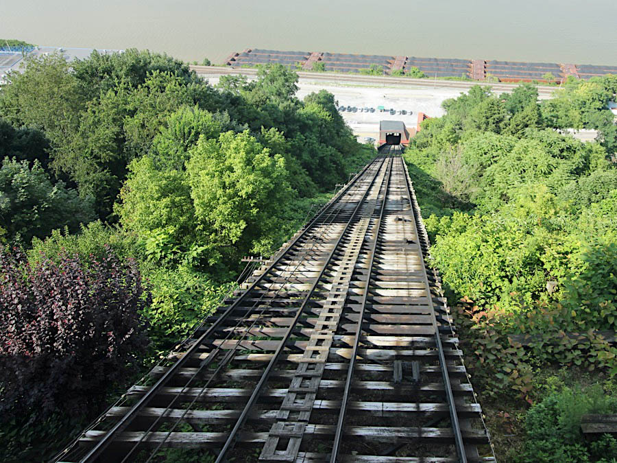
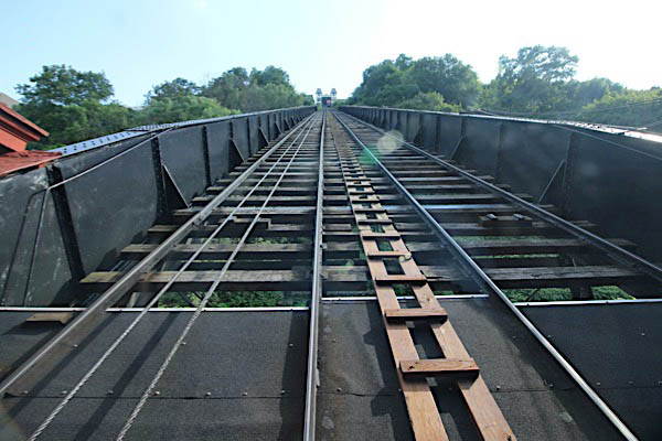
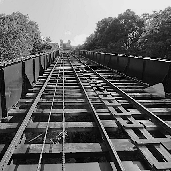 The first incline structure was part wood and part iron, but it was rebuilt entirely of iron in 1888. The total length is 793 feet, the grade is 58.5 per cent or 30.5 degrees, and the total rise is 400 feet. The lower 360 feet of Incline roadway crosses the Consolidated Rail Corporation (ConRail) tracks and right-of-way (previously the Panhandle Division of the Pennsylvania Railroad, and later the Penn Central Railroad). Here the Incline roadway is built of five-foot riveted girders in spans of sixty feet. The remaining portion is constructed of twenty-four inch riveted girders in thirty-foot spans. The gauge is five feet, the double trackway is twenty feet wide, and there is a three-foot gap between cars at the passing point (the point exactly in the middle of the Inclined Plane right-of-way, between the Upper and Lower Stations of the Incline).
Jul 2019 / RWH
Jul 2019 / RWH
Jul 2019 / RWH
Jul 2019 / RWH
Jul 2019 / RWH
Jul 2019 / RWH
Jul 2019 / RWH
Jul 2019 / RWH
Jul 2019 / RWH
Jul 2019 / RWH
Jul 2019 / RWH
 Brill Interiors
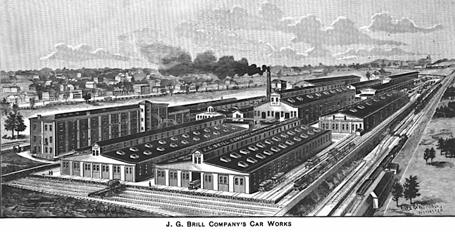
The J.G. Brill Company manufactured trams, streetcars, interurban coaches, motor buses, trolleybuses and railroad cars in the United States for almost ninety years; it was the longest lasting trolley and interurban manufacturer. At its height, Brill was the largest manufacturer of streetcars and interurban cars in the US and produced more streetcars, interurbans and gas-electric cars than any other manufacturer, building more than 45,000 streetcars alone. The company was founded by John George Brill in 1868 as a horsecar manufacturing firm in Philadelphia. Its manufacturing factory complex was located in Southwest Philadelphia at 62nd St and Woodland Avenue adjacent to the Baltimore and Ohio Railroad tracks. Over the years, it absorbed numerous other manufacturers of trolleys and interurbans such as Kuhlman in Cleveland and Jewett in Indiana. In 1944, with business diminishing, it merged with the American Car and Foundry Company (ACF) to become ACF-Brill.
Jul 2019 / RWH
Jul 2019 / RWH
Jul 2019 / RWH
Jul 2019 / RWH
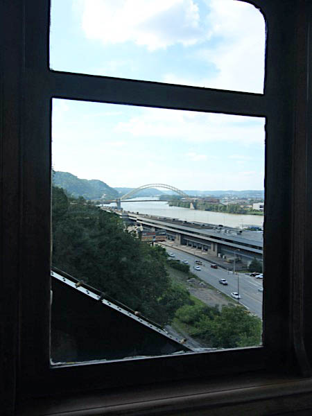
Jul 2019 / RWH
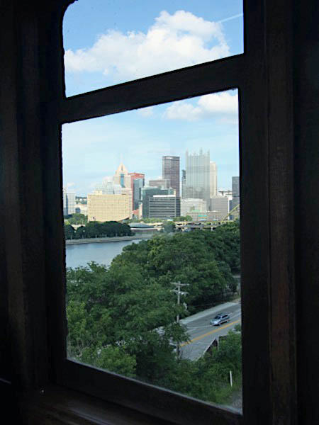
Jul 2019 / RWH
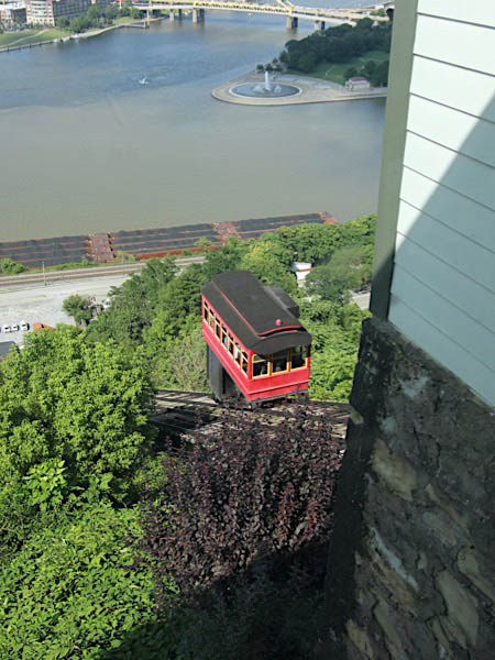
Jul 2019 / RWH
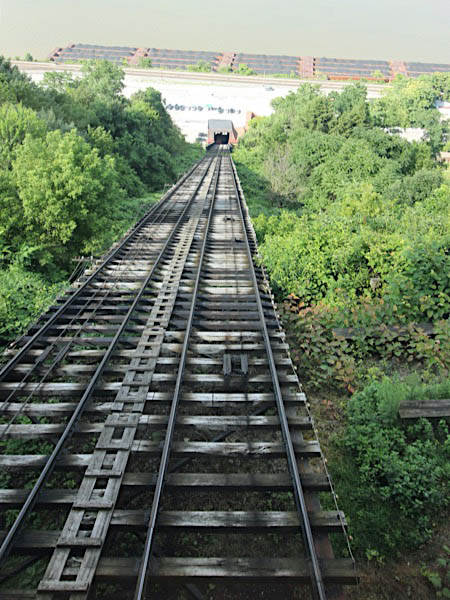
Jul 2019 / RWH
Jul 2019 / RWH
Jul 2019 / RWH
Jul 2019 / RWH
Views

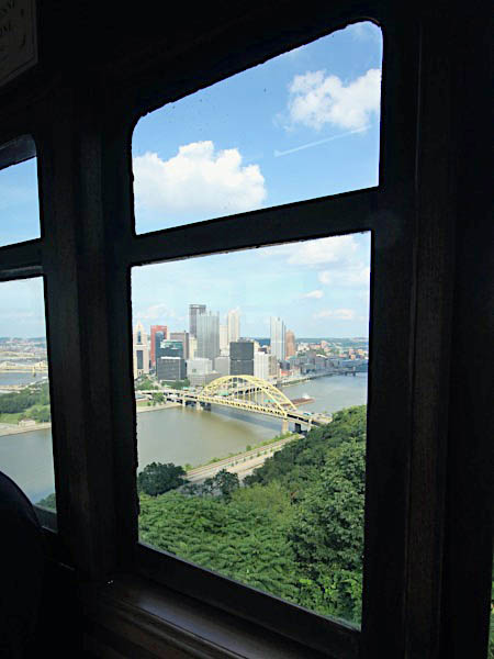
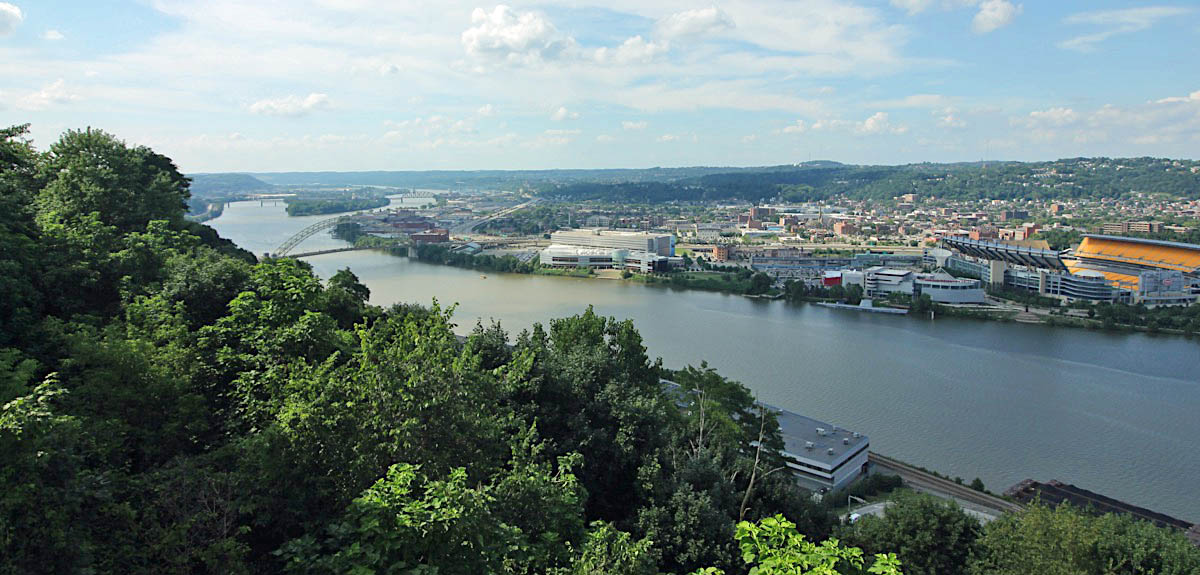
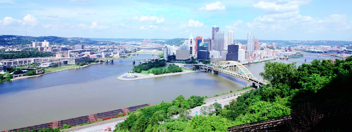
 Directly across the Monongahela River (locals call it "the Mon") from downtown Pittsburgh is 367-foot-high Mount Washington, the best place to go for a grand view of Pittsburgh and the three rivers. Known as Coal Hill in Pittsburgh's early days, Mount Washington was originally the site of many prosperous coal mines. It's named for a young George Washington, who mapped the land and rivers below from what is now Grandview Avenue for the British before the United States became independent.
Almost everyone who visits Pittsburgh ends up on Mount Washington to take in the breathtaking view. USA Weekend's 2003 Annual Travel Report ranked it the second most beautiful place in America:
In a nation with a wealth of stunning cities full of compelling stories, ranking Pittsburgh as the No. 2 beauty spot is perhaps our most surprising choice. But the Steel City's aesthetic appeal is undeniable, as is its very American capacity for renewal.
The stunning nighttime view from Mount Washington features a sweeping panorama of downtown Pittsburgh and the surrounding countryside. The landmark skyscrapers of Pittsburgh's Golden Triangle are nestled at the point where the Allegheny and Monongahela rivers flow together to create the mighty Ohio. At night, lights twinkle from both the city and more than 15 bridges.
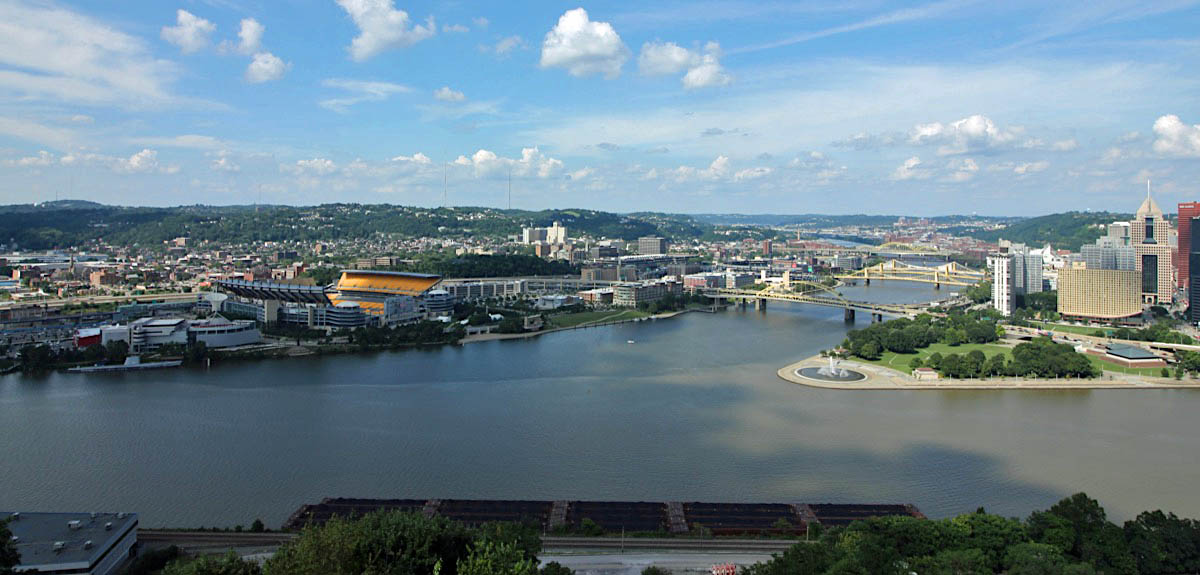
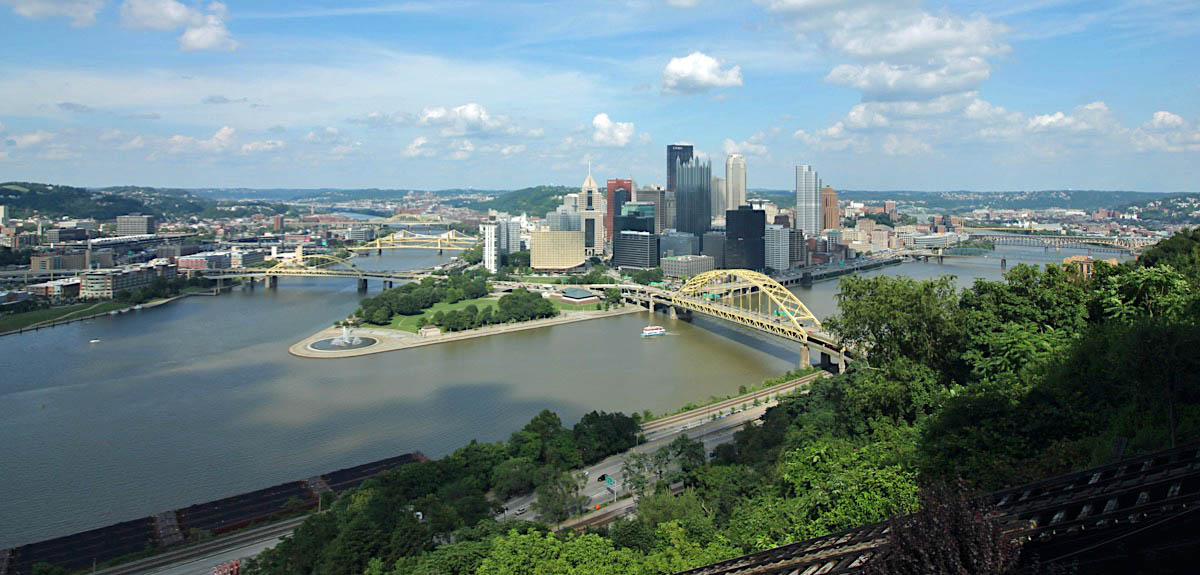
Mount Washington, Pa / Jul 2019 / RWH
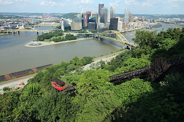
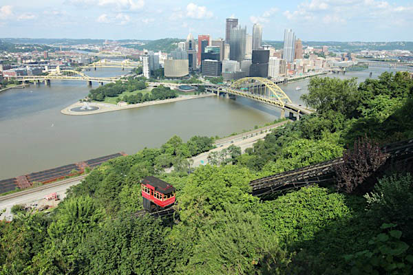
Mount Washington, Pa / Jul 2019 / RWH
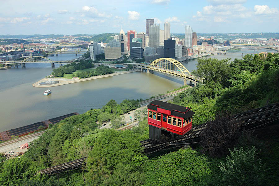
Mount Washington, Pa / Jul 2019 / RWH
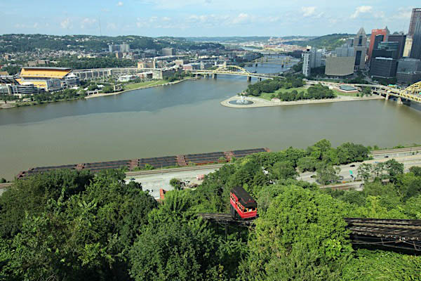
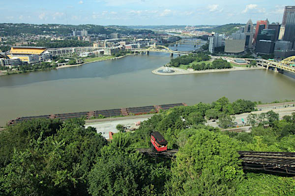
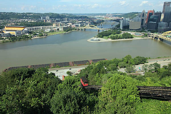
Mount Washington, Pa / Jul 2019 / RWH

Mount Washington, Pa / Jul 2019 / RWH
 Lagniappe
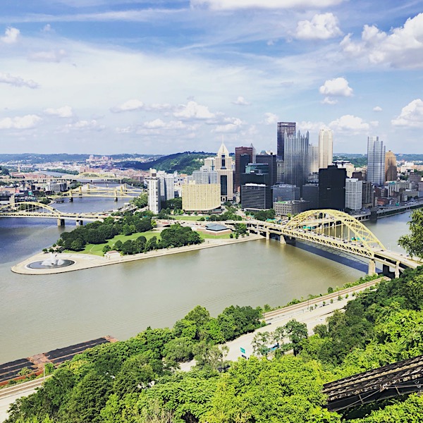
Different as Day ...
Jul 2019 / RWH
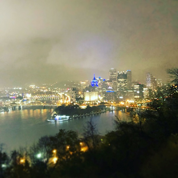
... and Night
Nov 2018 / RWH
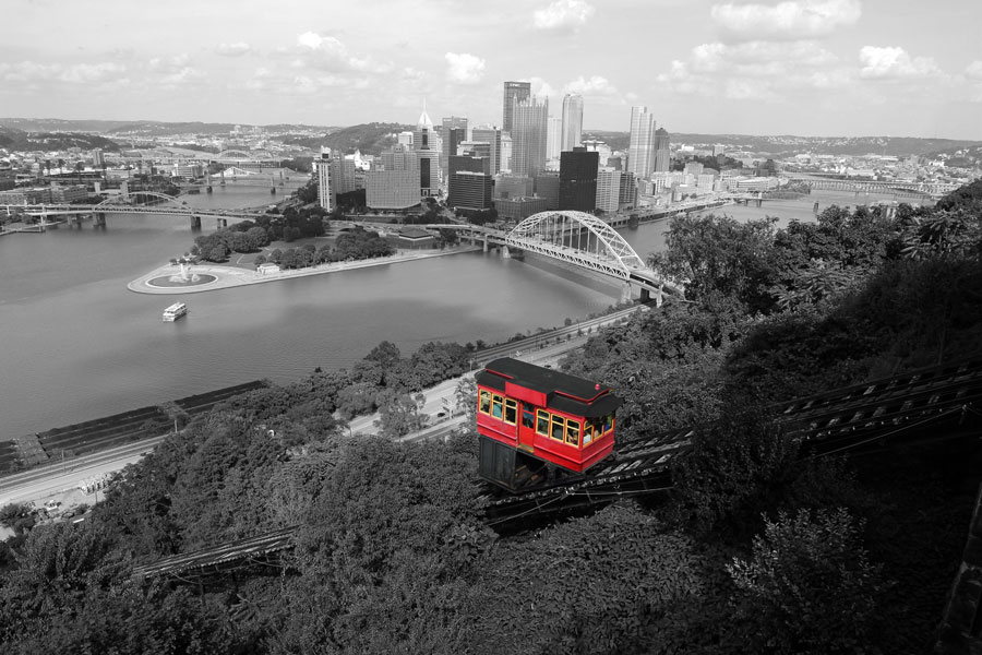
Little Red Caboose
Mount Washington, Pa / Jul 2019 / RWH
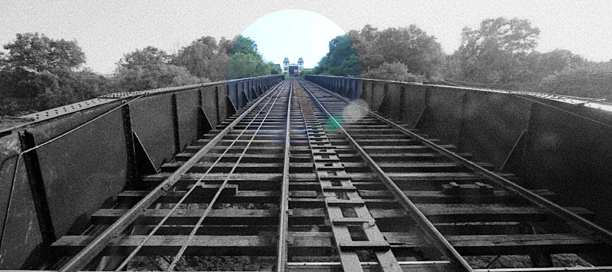
T Minus Ten ... and Counting
Pittsburgh, Pa / Jul 2019 / RWH
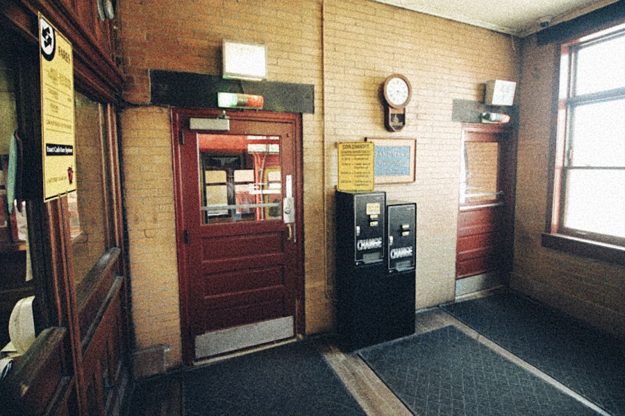
We're Off to See the Wizard
Pittsburgh, Pa / Jul 2019 / RWH
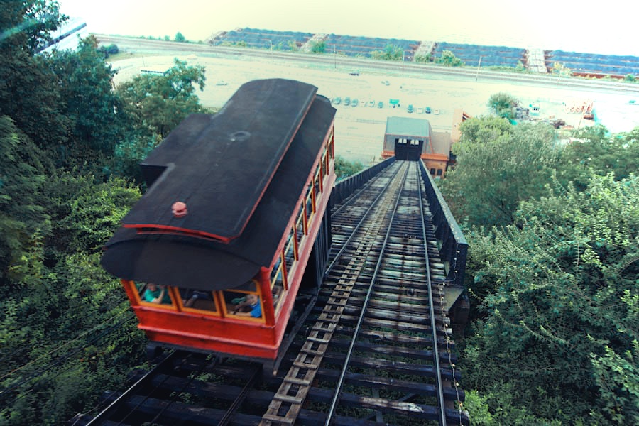
We Must Keep Meeting Like This
Pittsburgh, Pa / Jul 2019 / RWH
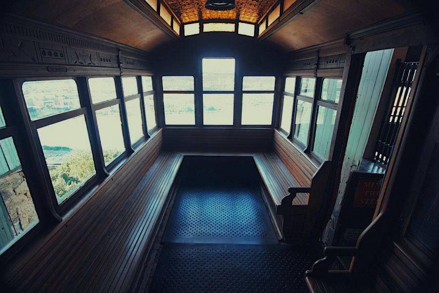
Brill's Boys at Their Best
Mount Washington, Pa / Jul 2019 / RWH
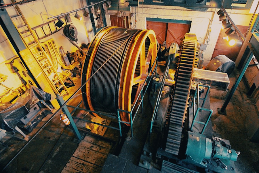
The Wheel of Life Keeps Turning
Mount Washington, Pa / Jul 2019 / RWH
Steel City Scene
Mount Washington, Pa / Jul 2019 / RWH
 Snapshots
Pittsburgh, Pa / Jul 2019 / RWH
Mount Washington, Pa / Jul 2019 / RWH
Mount Washington, Pa / Jul 2019 / ETH

Mount Washington, Pa / Jul 2019 / RWH

Mount Washington, Pa / Nov 2018 / RWH
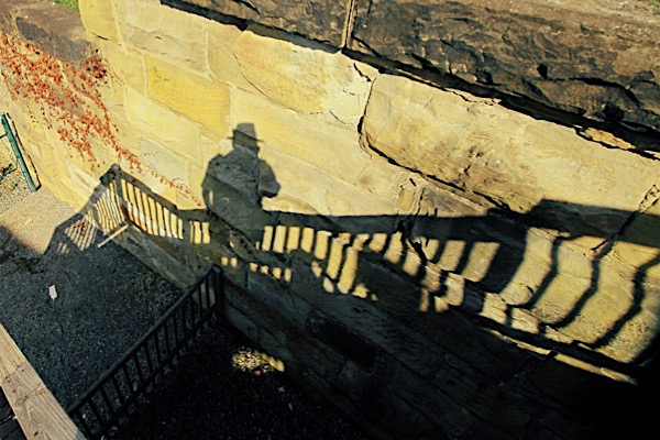
Jul 2019 / RWH
Links / Sources
- Duquesne Incline website
- Wikipedia article for Duquesne Incline
- History of The Duquesne Incline
- Take a Ride on the Duquesne Incline to Enjoy Pittsburgh’s Skyline
 The original steam drive was converted to electricity in 1932. Forty years later, Westinghouse rectifiers replaced the first electrical equipment, providing a modern, maintenance-free drive system for the Incline. Motion is communicated to the cars by means of a cast-iron drum carrying two one-and-one-eighth-inch (1 1/8-inch) steel-wire cables. Each cable is approximately 900 feet long and capable of sustaining a perpendicular strain of 50 tons. The actual working strain is about one-twentieth (1/20) of that amount.