

 |
Pittsburgh, PennsylvaniaUninterrupted transit from streetcars to light rail |
Pittsburgh, Pa / Mar 1971 / JCH

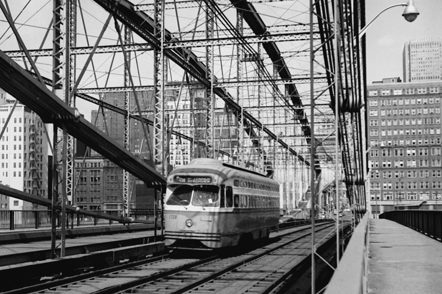
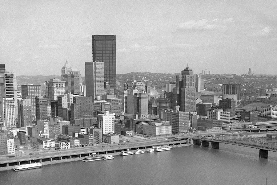
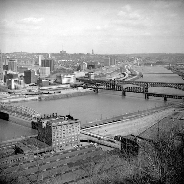
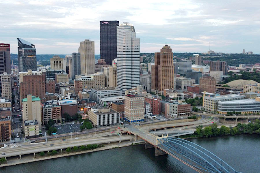
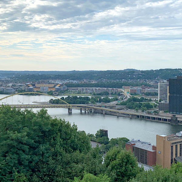
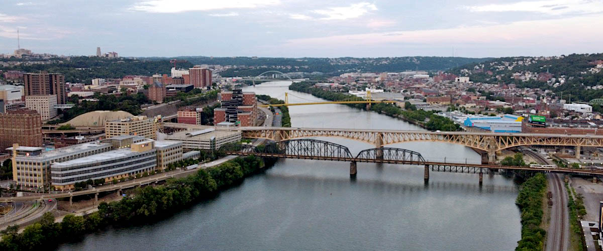
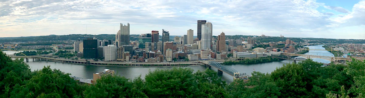
 ITTSBURGH, Pennsylvania, is one of the major metropolitan areas of the United States, and is situated in the western foothills of the Appalachian Mountains, about 350 miles almost due west of New York City. It is where the Monongahela and Allegheny rivers converge to form the Ohio River, encompassing between them the Golden Triangle, soaring towers of concrete and glass, a new city centre built within the last decade. The principal industries are iron and steel, glass, aluminium and electrical manufacturing. Pittsburgh's reputation for smoky skies has long been lost, for an intensive smoke control scheme gives the city cleaner air than in other major U.S. cities.
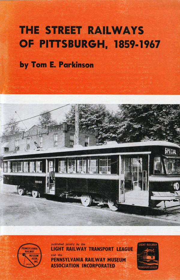
Tom E. Parkinson, 1967
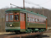
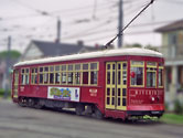
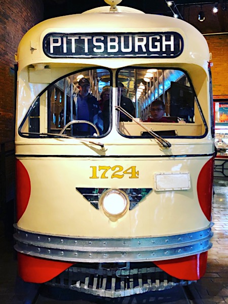
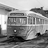
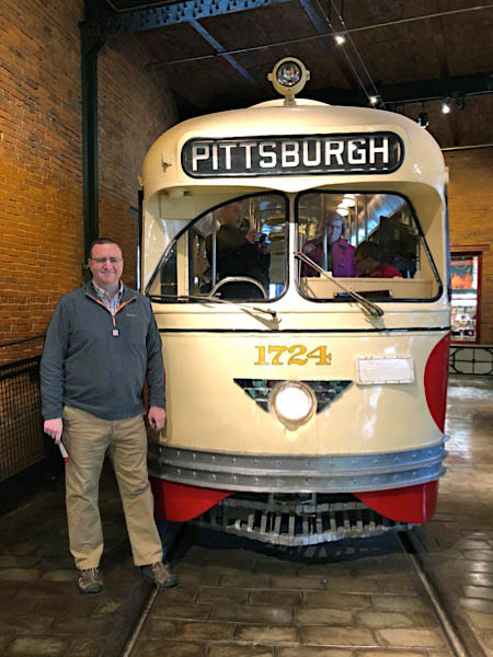
 he city of Pittsburgh, Pennsylvania, once boasted one of the largest urban streetcard networks in the United States. Pittsburgh Railways, one of the largest predecessors to the current Port Authority of Allegheny County, had nearly 700 PCC streetcars operating on 68 routes — the third largest fleet in North America at the time. Most of those routes dated back to the turn of the 20th century; only three remain in use today by Pittburgh's light rail system. Pittsburgh Railways was formed in 1902, the product of numerous consolidations among private carriers. Its lease-and-operate business model proved difficult to maintain and the company declared bankruptcy twice, first in 1918 lasting for 6 years and then again in 1938 until 1951. In 1936, Pittsburgh Railways put into service the first PCC-style streetcar in the world.
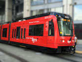
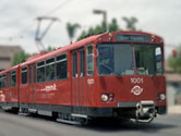
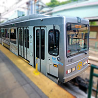
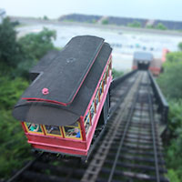
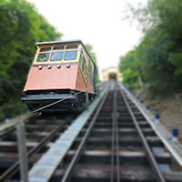
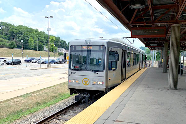
In 1964, the private Pittsburgh Railways system was acquired by the Port Authority of Allegheny County (PAT), which rapidly converted most rail routes to bus service. By the early 1970s, only a handful of streetcar routes remained — most of which used the Mt. Washington Transit Tunnel just south of the Monongahela River to reach the South Hills area. Community pushback on a plan to scrap all remaining rail lines resulted in a new study on the future of the South Hills trolley lines, resolving to transform these valuable, high-density transit corridors into a modern light rail system. In late 1980, after receiving federal funding, the Port Authority began construction on the light rail service, dubbed the "T", which used a former Pittsburgh Railways trolley route to connect downtown Pittsburgh to the South Hills neighborhoods. Today, the T operates 3 routes, all terminating downtown, north of the Allegheny River, and all running south through Mount Washington to various stations in the southern region of the city.
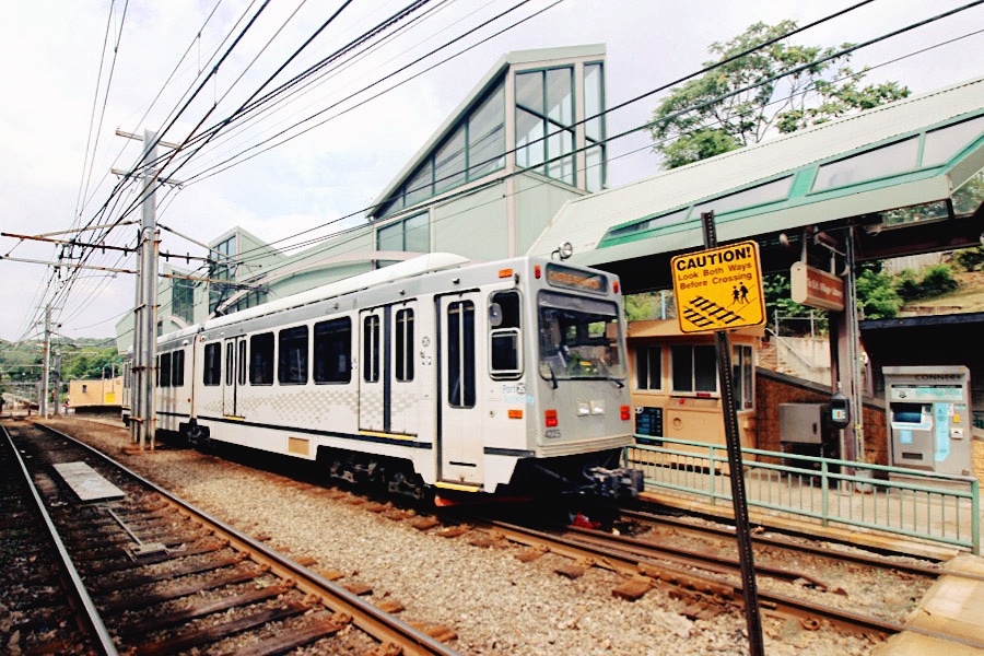
South Hills, Pa / Jul 2020 / RWH


See also our Pennsylvania Trolley Museum featured scrapbook in Preservation
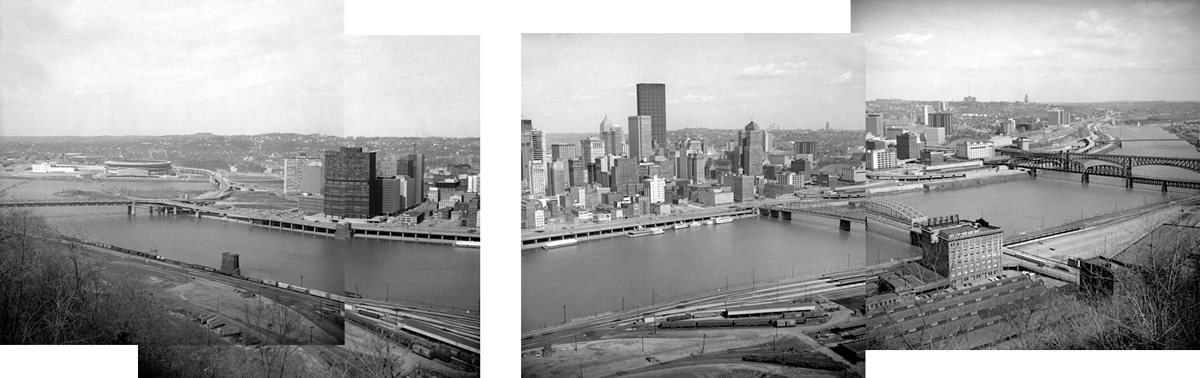
 Pittsburgh, 1971
Pittsburgh, Pa / Mar 1971 / JCH
Pittsburgh, Pa / Mar 1971 / JCH
Pittsburgh, Pa / Mar 1971 / JCH
Pittsburgh, Pa / Mar 1971 / JCH
Pittsburgh, Pa / Mar 1971 / JCH
Pittsburgh, Pa / Mar 1971 / JCH
Pittsburgh, Pa / Mar 1971 / JCH
Pittsburgh, Pa / Mar 1971 / JCH
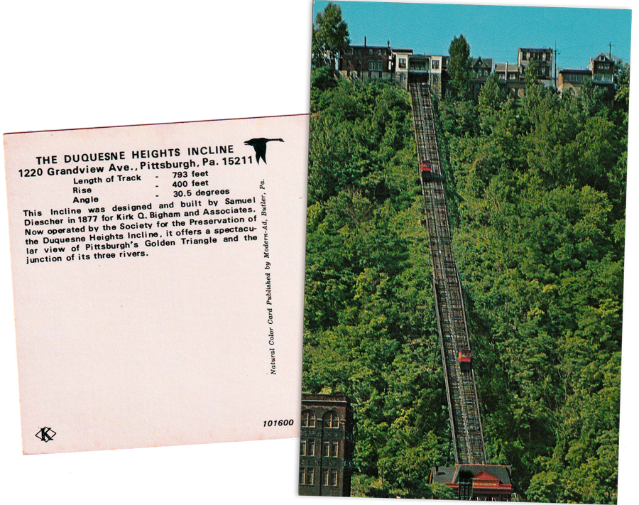
postcard / collection
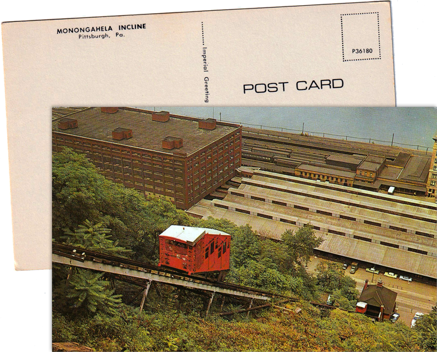
postcard / collection
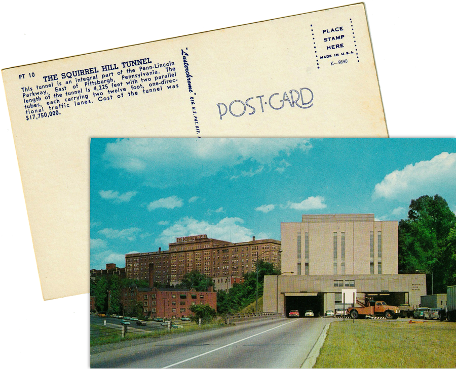
postcard / collection
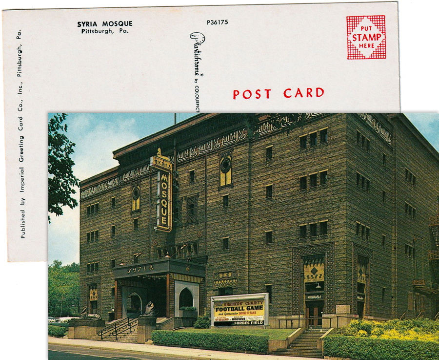
postcard / collection
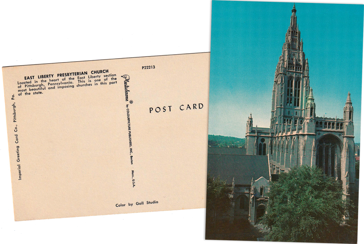
postcard / collection
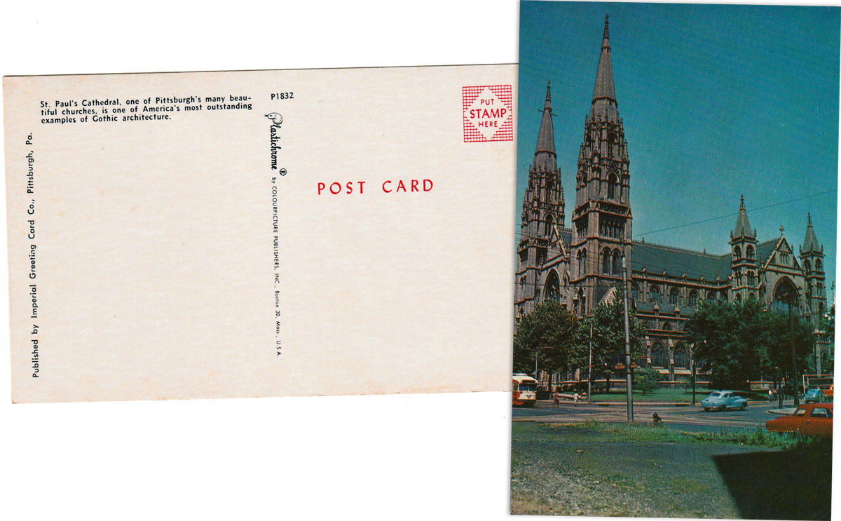
postcard / collection
 Then and Now
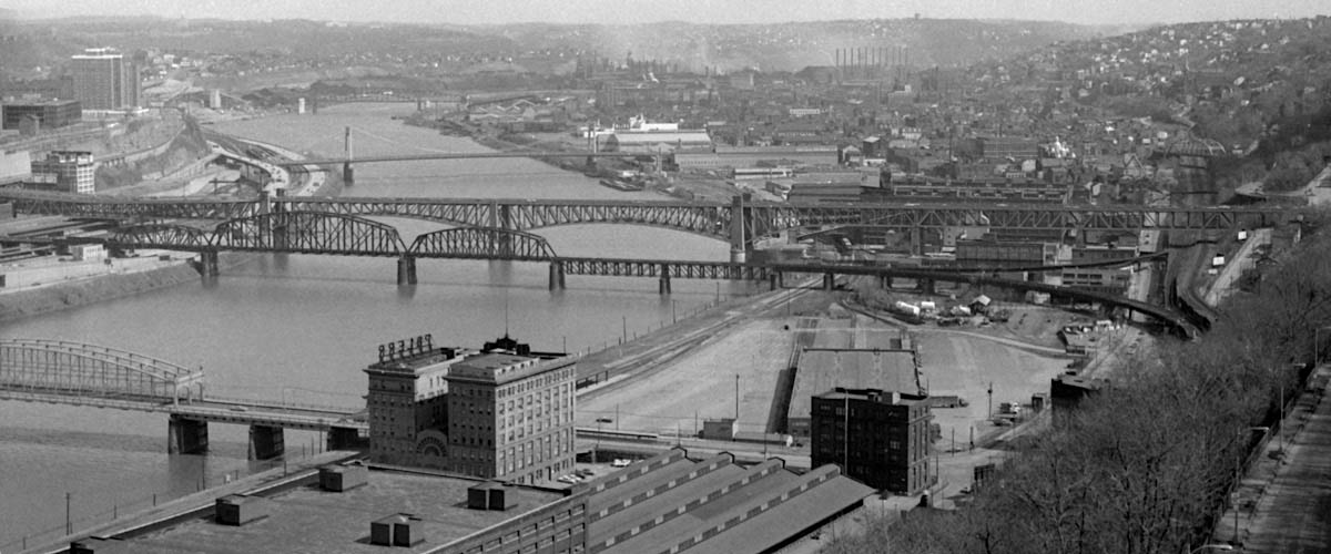
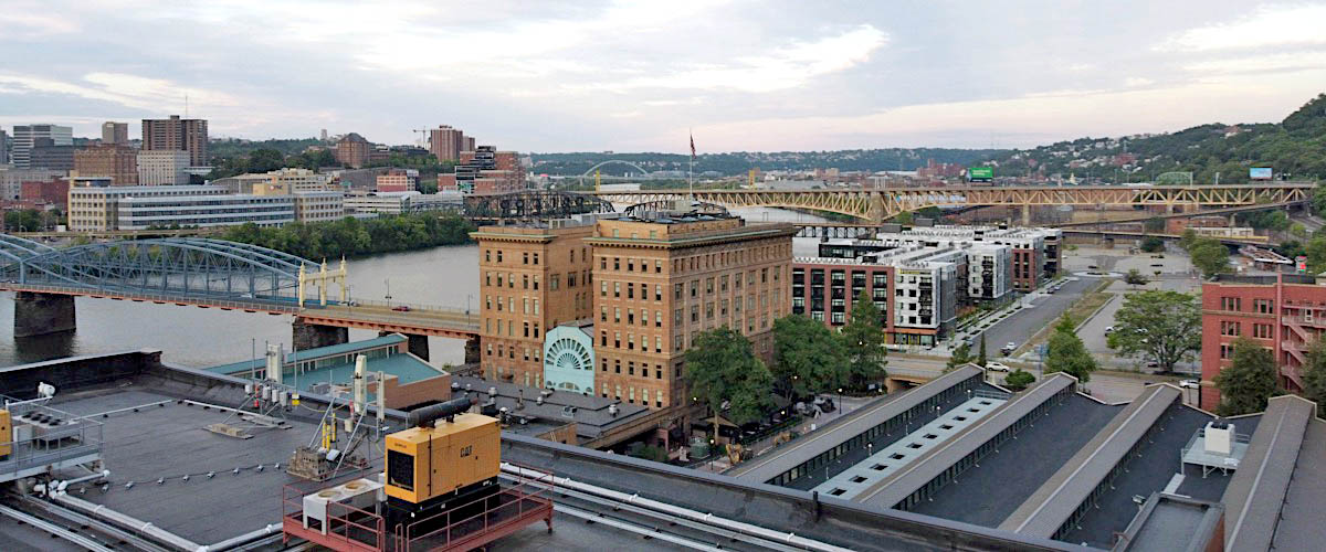
black & white photos JCH (1971) / color photos RWH (2020)
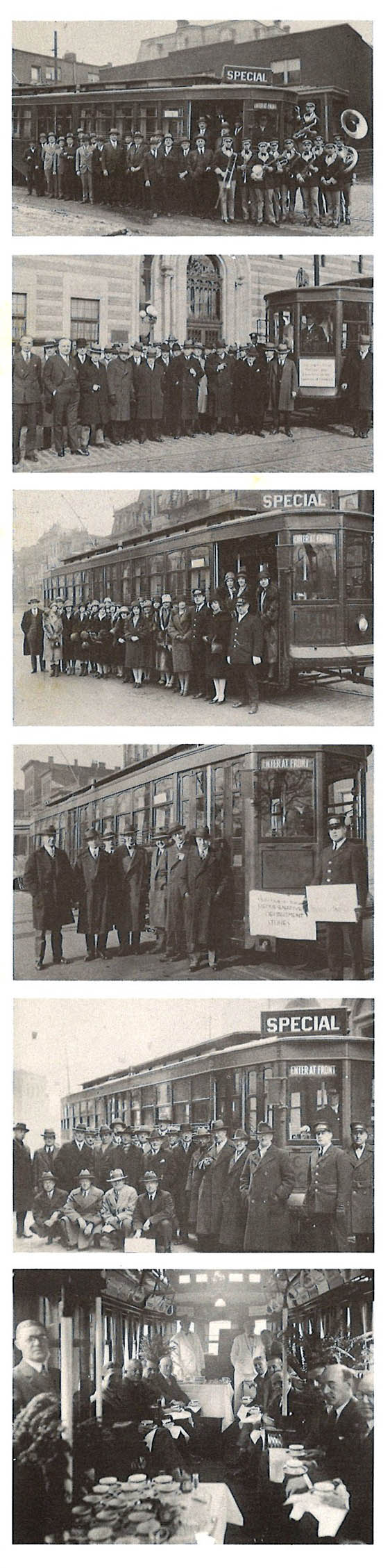
 Clippings
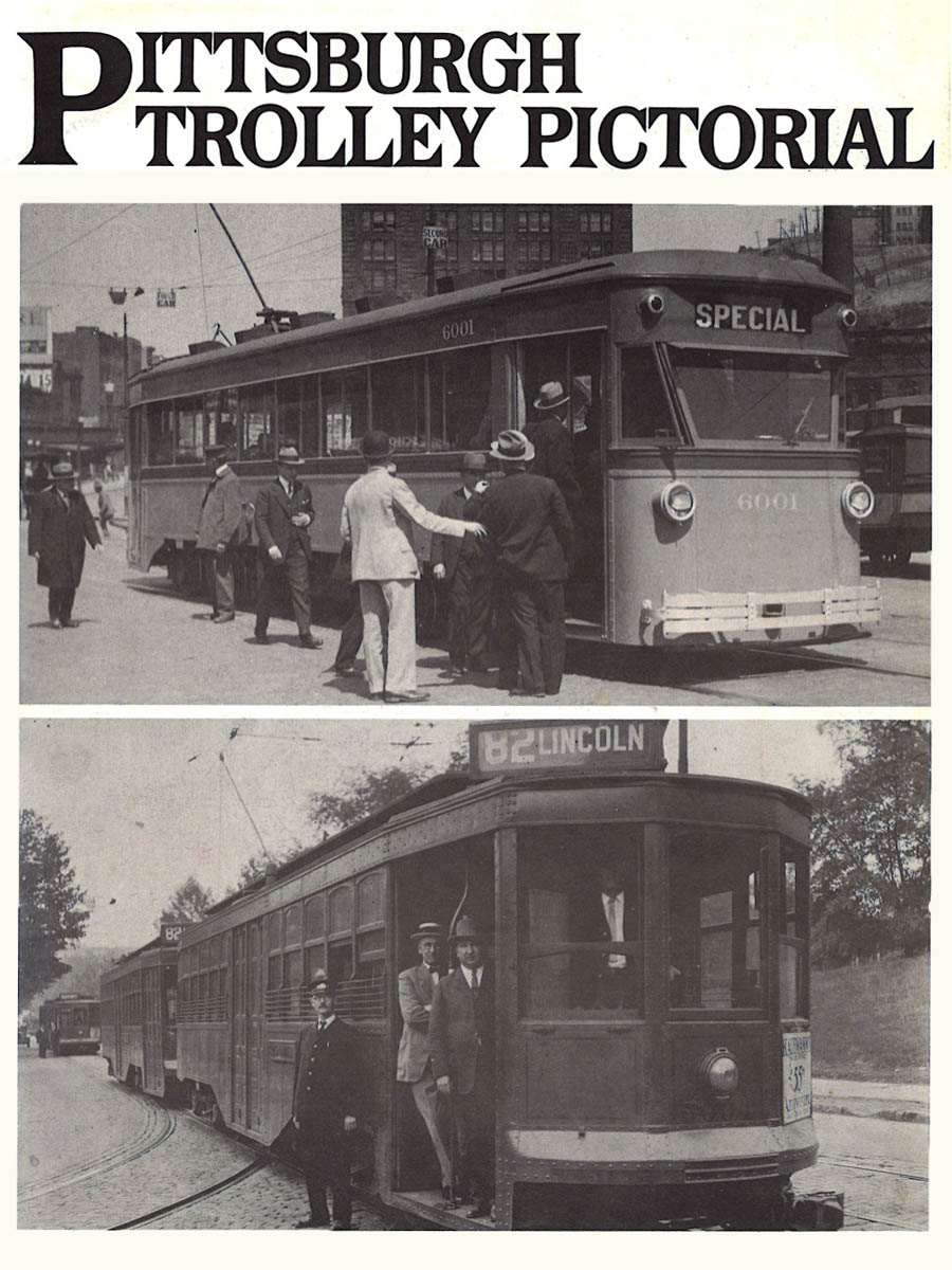
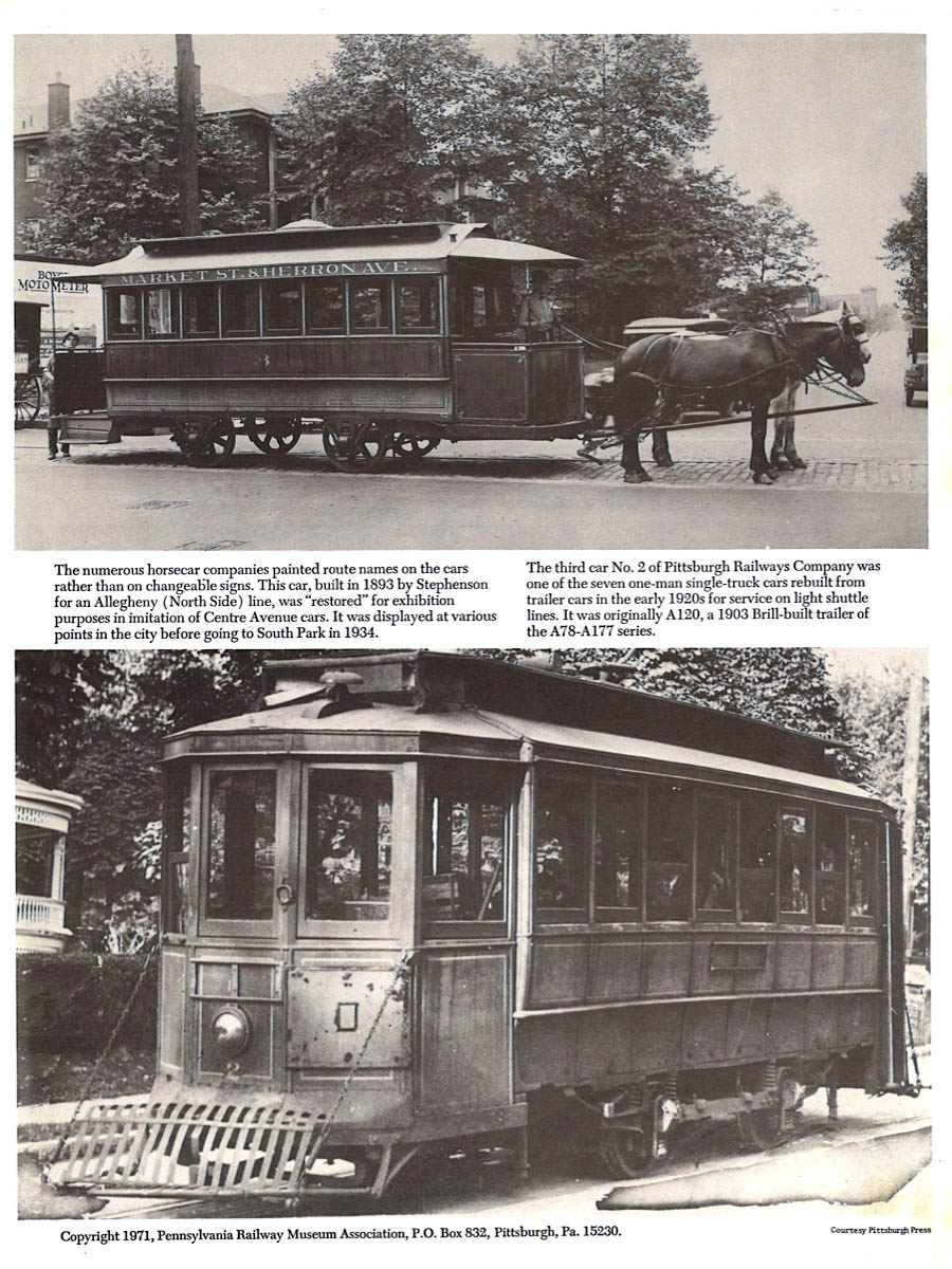
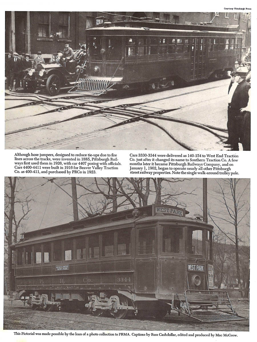
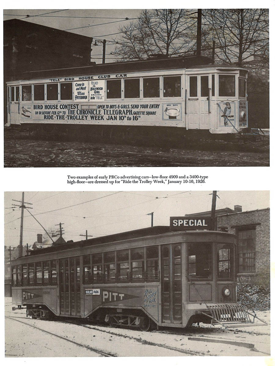
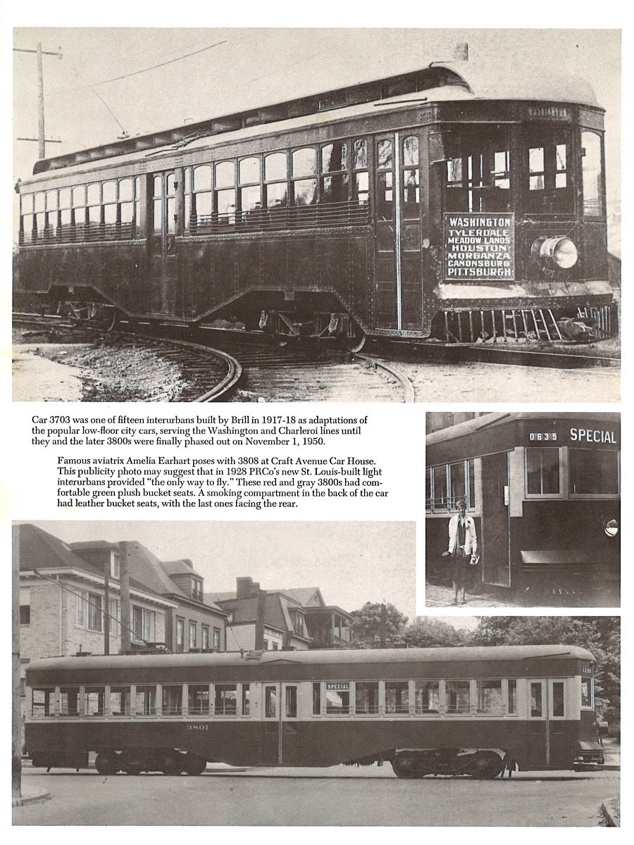
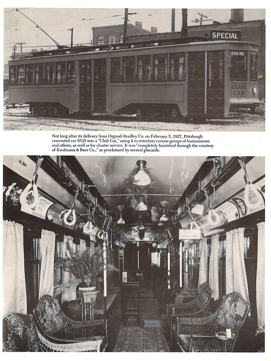
all pages from Pittsburgh Trolley Pictorial - 1971 / collection
 Lagniappe
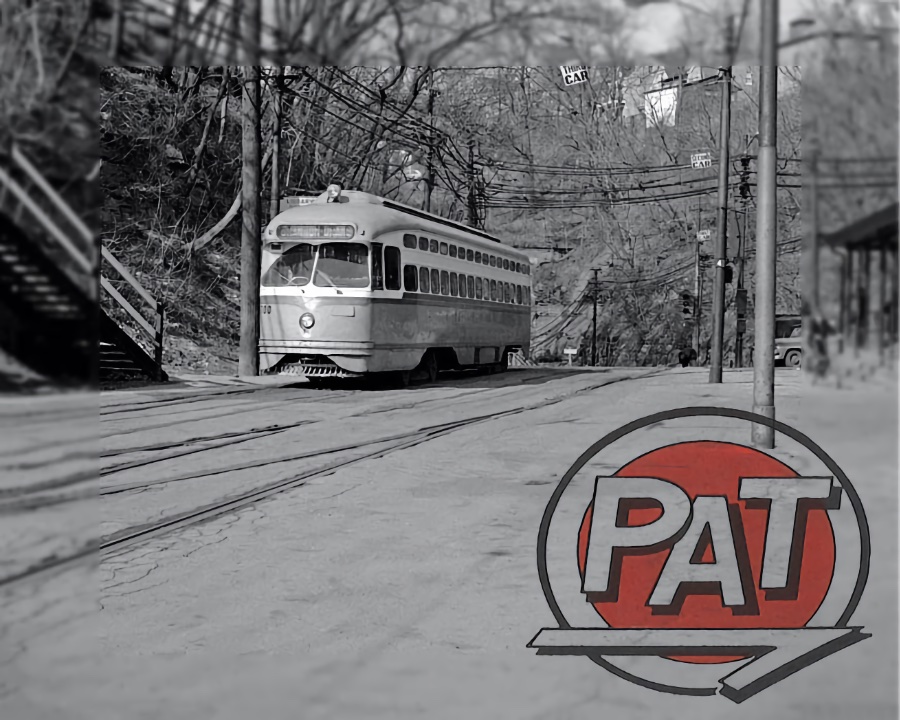
Another Pat on the Back
Pittsburgh, Pa / Mar 1971 / JCH
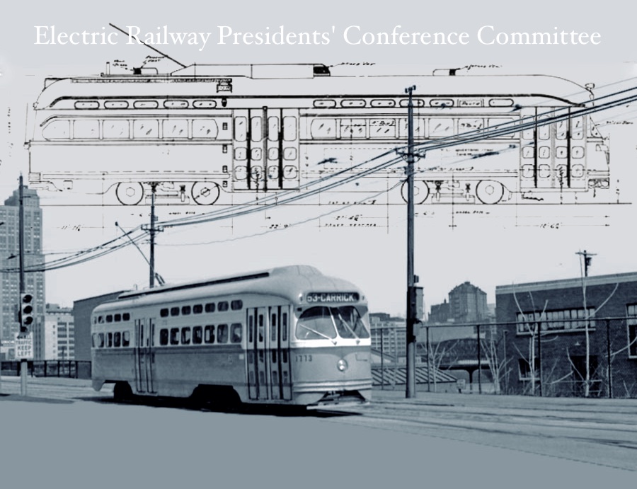
PCC is the Way to Go
photo JCH / artwork RWH
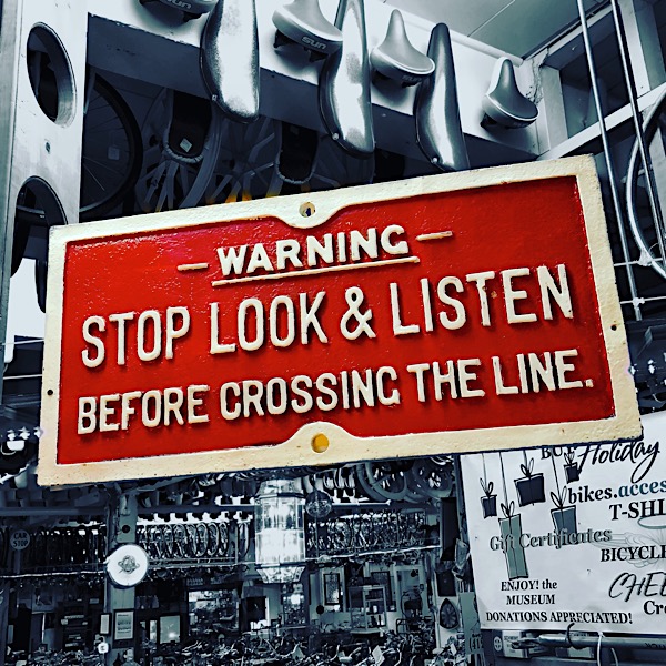
Saturated Sign
Sep 2018 / RWH
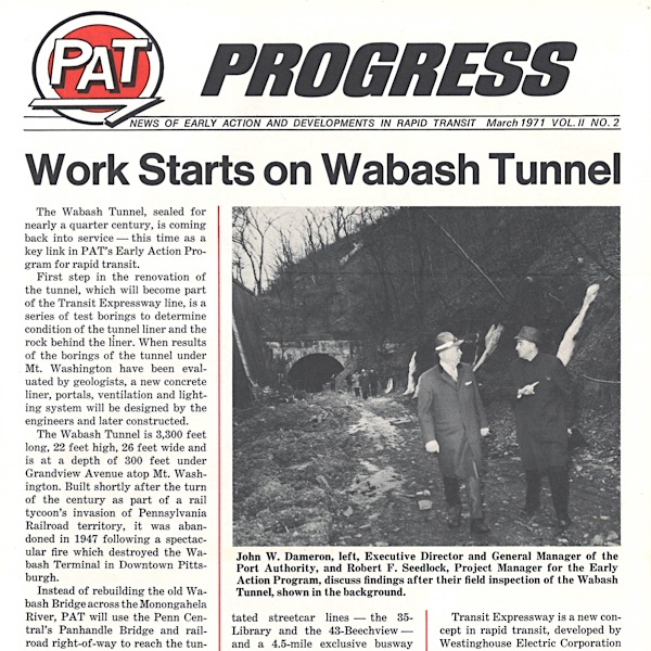
PAT spells Progress
collection
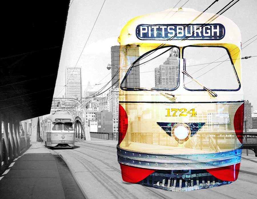
The Seventeen Hundred Series
photo JCH / artwork RWH
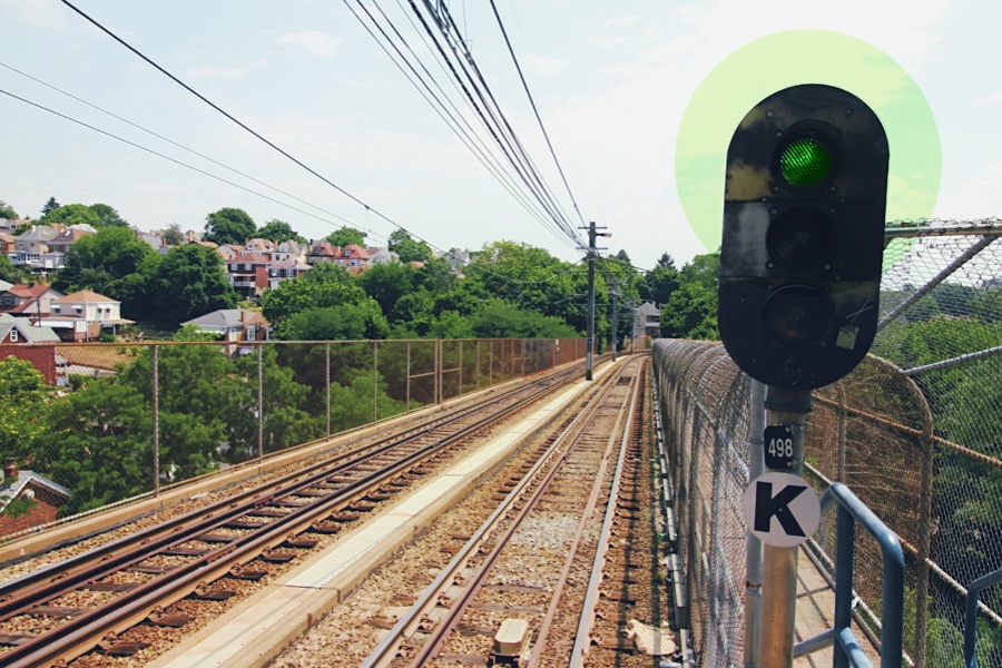
High Green at Fallowfield
Dormont, Pa / Jul 2020 / RWH
Junction Injunction
South Hills, Pa / Jul 2020 / RWH
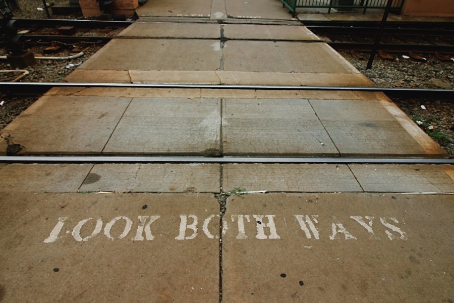
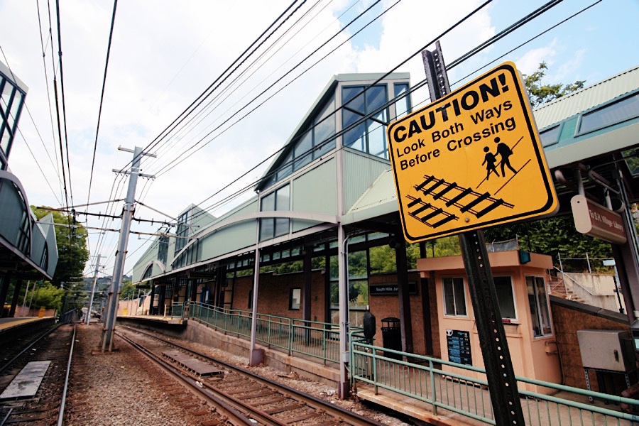
Look Both Ways
South Hills, Pa / Jul 2020 / RWH
Junction Giant
South Hills, Pa / Jul 2020 / RWH


South Hills Selections
South Hills, Pa / Jul 2020 / RWH
 Snapshots
Jul 2020 / RWH
Pittsburgh, Pa / Nov 2018 / ETH
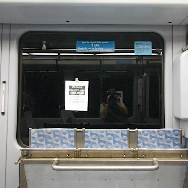
Jul 2020 / RWH
Links / Sources
- Port Authority of Allegheny County website
- Wikipedia article for Pittsburgh Light Rail
- Shawn Bennear's Pittsburgh Transit History website
- Pennsylvania Trolley Museum website
- Tom E. Parkinson, The Street Railways of Pittsburgh, 1859-1967 (Light Rwy Transport League, 1967)