 |
Amtrak's California Zephyr Western Route |
jump to a
flag stop
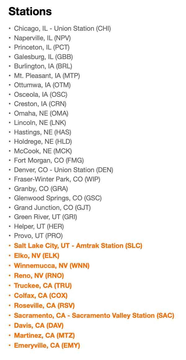
- Chicago
- Galesburg
- Burlington
- Omaha
- Denver
- Fraser -
Winter Park - Granby
- Glenwood Springs
- Grand Junction
- Salt Lake City
- Reno
- Sacramento
- Emeryville
RWH
RWH
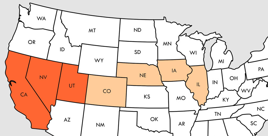
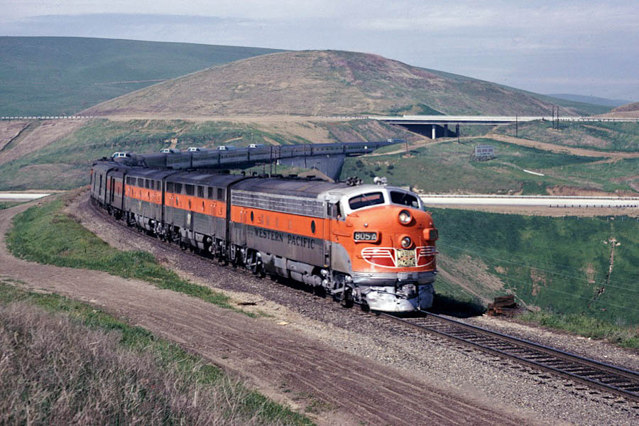
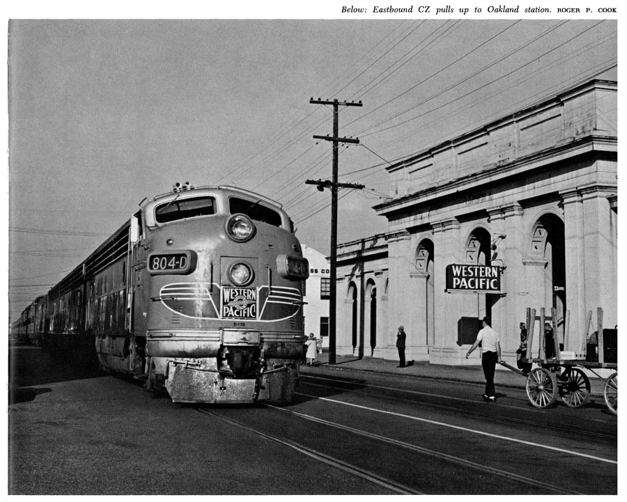
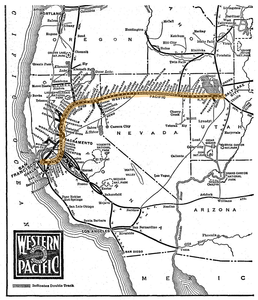
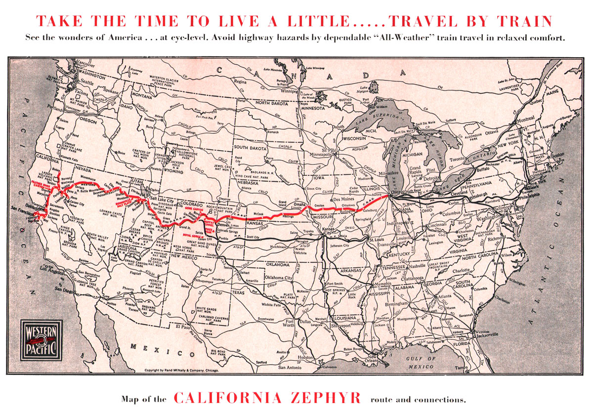
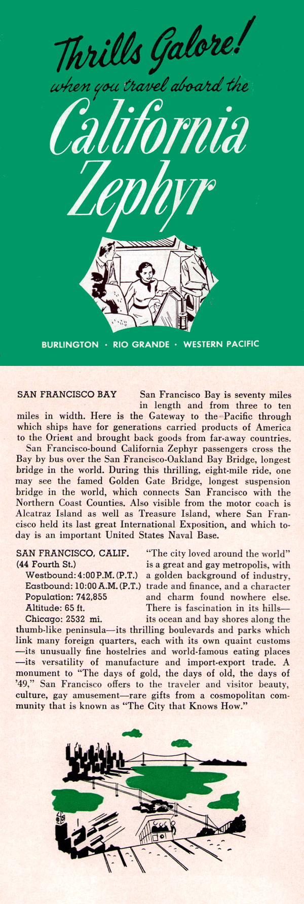
 perated by three contiguous railroads which shared the train's unified passenger equipment, the pre-Amtrak California Zephyr was handled in the western states of Utah, Nevada, and California by the Western Pacific Railroad, running between Salt Lake City, Utah, and Oakland, California (San Francisco).
WP-powered trains ran due west across Nevada before beginning their assault on the Sierra Nevada mountains, west of Winnemucca. Here the WP mainline traversed the scenic Feather River Canyon, before turning south to the Sacramento region. Clear of the mountain range, Zephyr's completed their westbound runs at the Western Pacific terminal in Oakland, California, immediately across the bay from San Francisco. Ferry service was operated to the city until 1958, replaced by busses. At just shy of 1000 miles, this western section of the journey represented 38% of the total route from Chicago.
Despite the beauty of the Feather River Canyon route, today's California Zephyrs bypass it and the former Western Pacific mainline west of Winnemucca, Nevada. Instead, Amtrak uses the Overland Route (right of way of the first transcontinental railroad) between Elko, Nevada, and Sacramento. Union Pacific now hosts the entire western portion of the CZ routing.
perated by three contiguous railroads which shared the train's unified passenger equipment, the pre-Amtrak California Zephyr was handled in the western states of Utah, Nevada, and California by the Western Pacific Railroad, running between Salt Lake City, Utah, and Oakland, California (San Francisco).
WP-powered trains ran due west across Nevada before beginning their assault on the Sierra Nevada mountains, west of Winnemucca. Here the WP mainline traversed the scenic Feather River Canyon, before turning south to the Sacramento region. Clear of the mountain range, Zephyr's completed their westbound runs at the Western Pacific terminal in Oakland, California, immediately across the bay from San Francisco. Ferry service was operated to the city until 1958, replaced by busses. At just shy of 1000 miles, this western section of the journey represented 38% of the total route from Chicago.
Despite the beauty of the Feather River Canyon route, today's California Zephyrs bypass it and the former Western Pacific mainline west of Winnemucca, Nevada. Instead, Amtrak uses the Overland Route (right of way of the first transcontinental railroad) between Elko, Nevada, and Sacramento. Union Pacific now hosts the entire western portion of the CZ routing.
Wikipedia
from The Story of the California Zephyr
by Karl Zimmermann / collection
collection
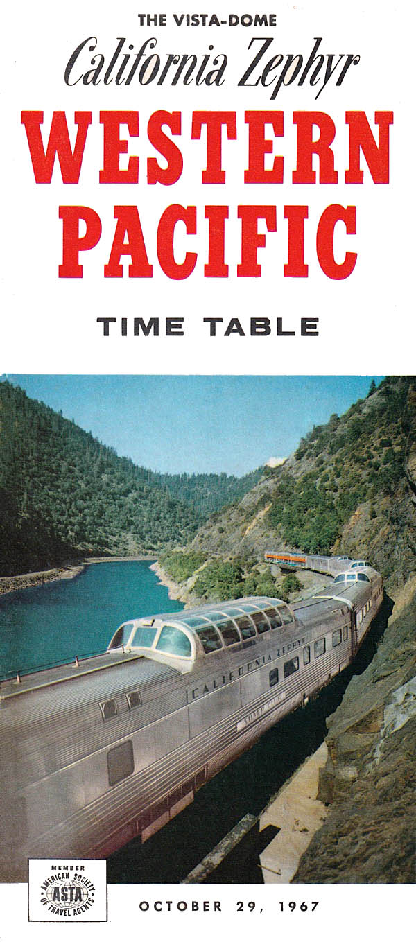
1967 timetable / collection
1967 timetable / collection
1948 Official Guide map / collection
poster / collection
collection
1967 timetable / collection
1980 timetable / collection
1987 timetable / collection
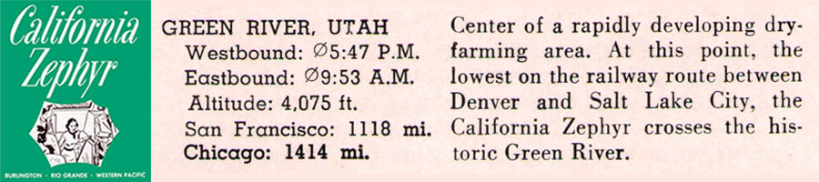
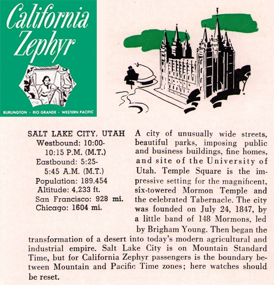
 Utah
Utah
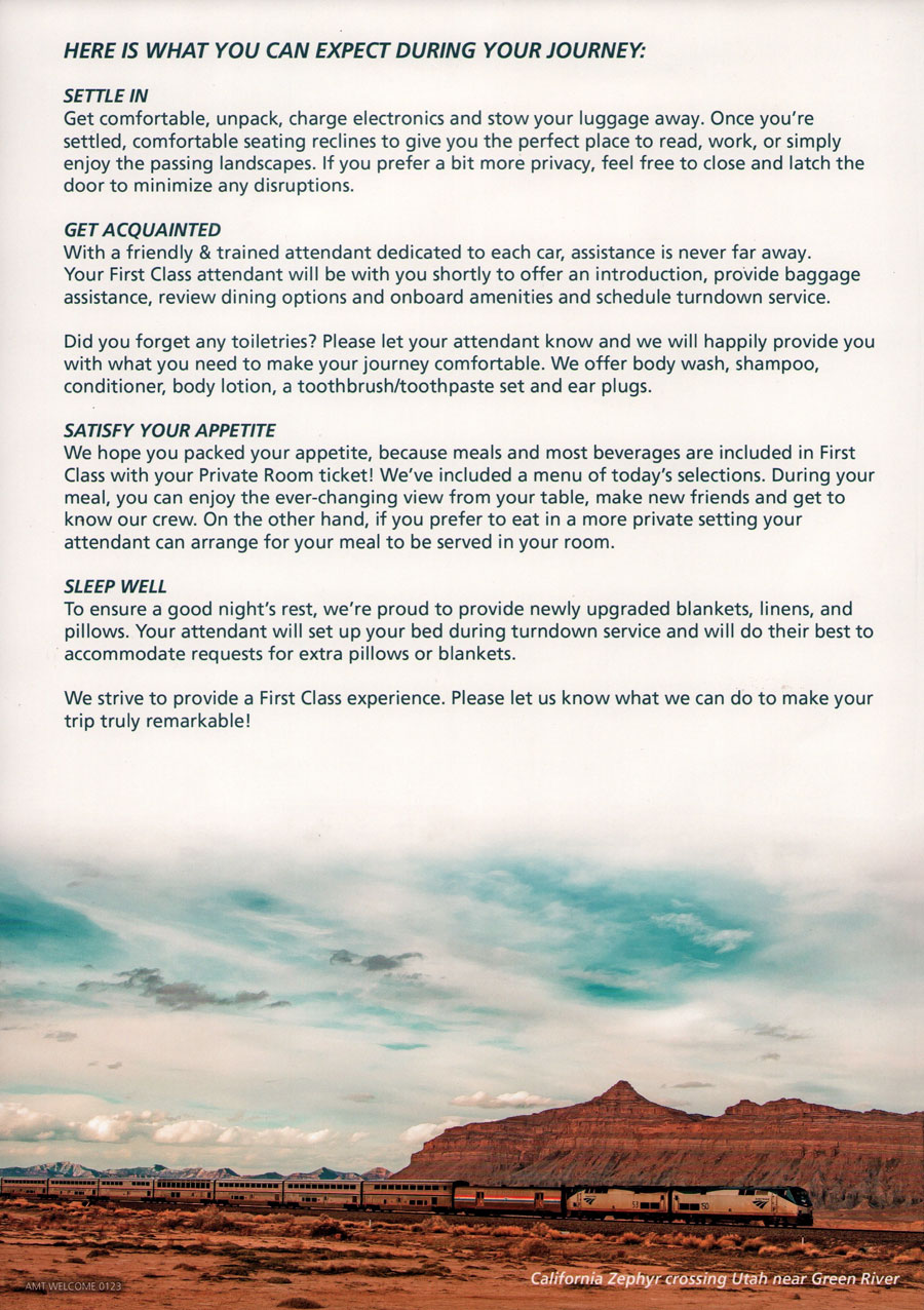
Amtrak onboard handout / collection

westbound #5
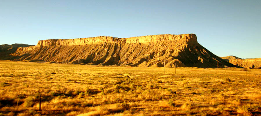
Crescent Junction, Ut / Sep 2023 / RWH
Crescent Junction, Ut / Sep 2023 / RWH
1967 brochure / collection
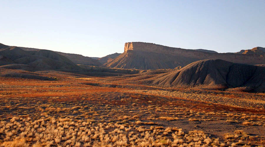
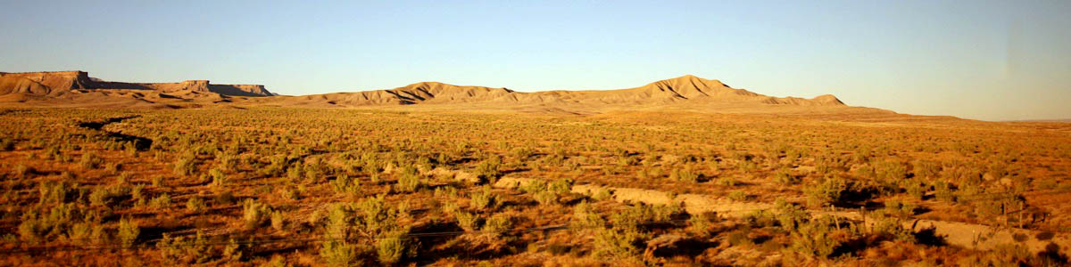
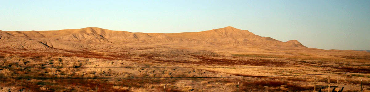
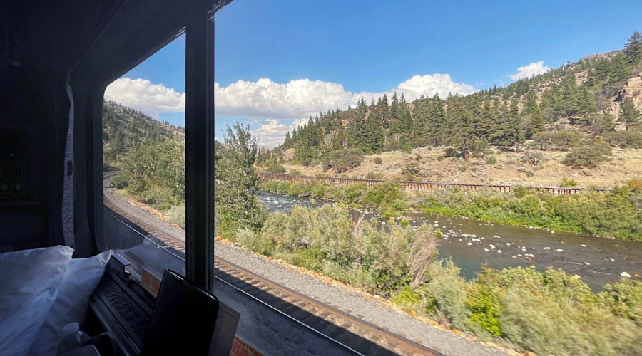
Green River, Ut / Sep 2023 / RWH
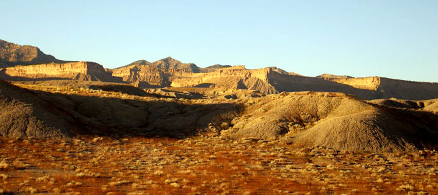
Green River, Ut / Sep 2023 / RWH
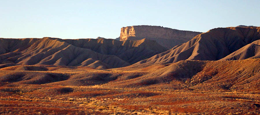
Green River, Ut / Sep 2023 / RWH
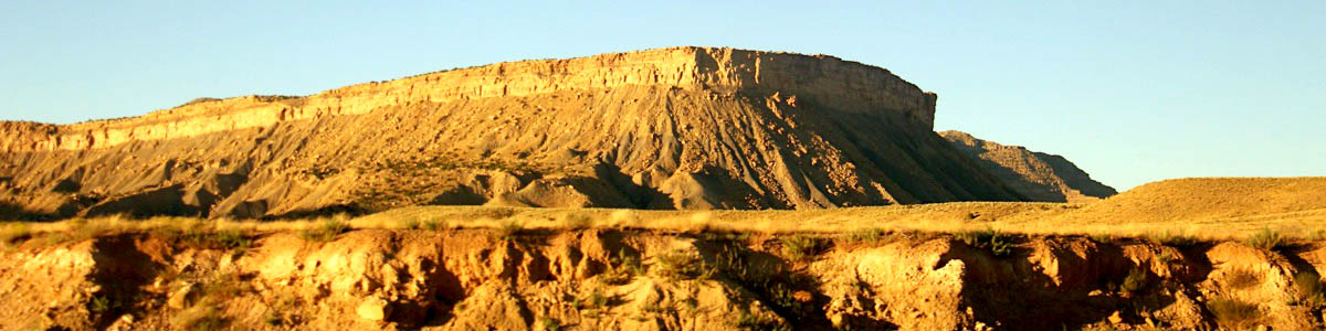
Green River, Ut / Sep 2023 / RWH
Green River, Ut / Sep 2023 / RWH
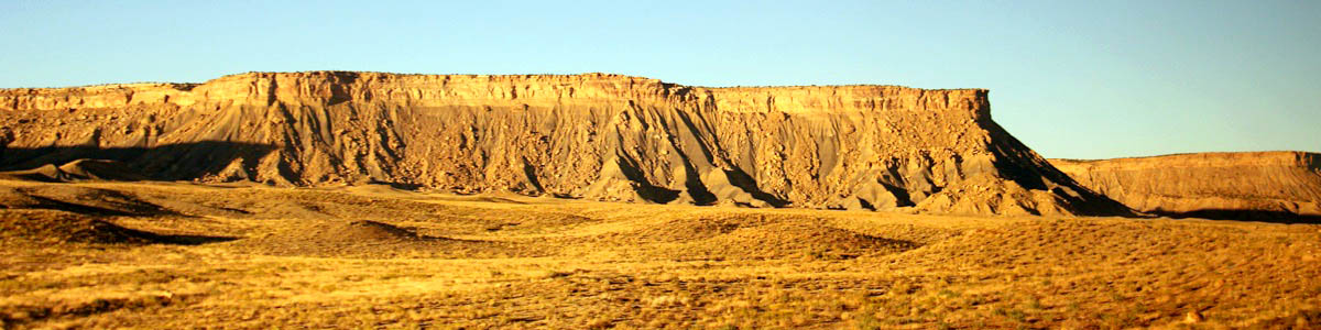
Green River, Ut / Sep 2023 / RWH
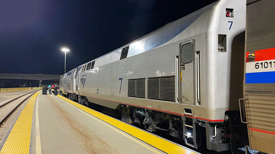
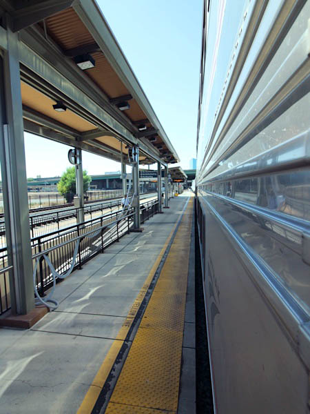
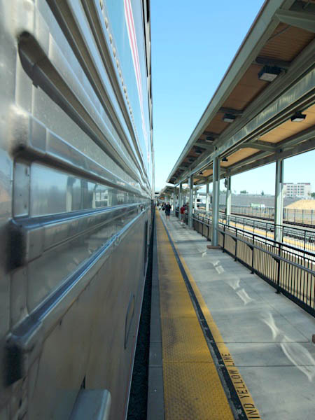
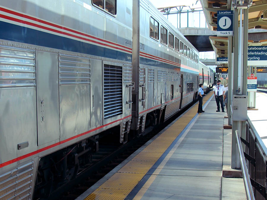
 Salt Lake City, Ut
1967 brochure / collection
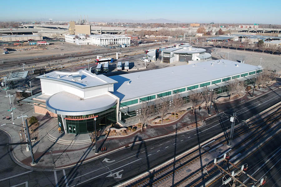
Intermodal Transportation Center
web

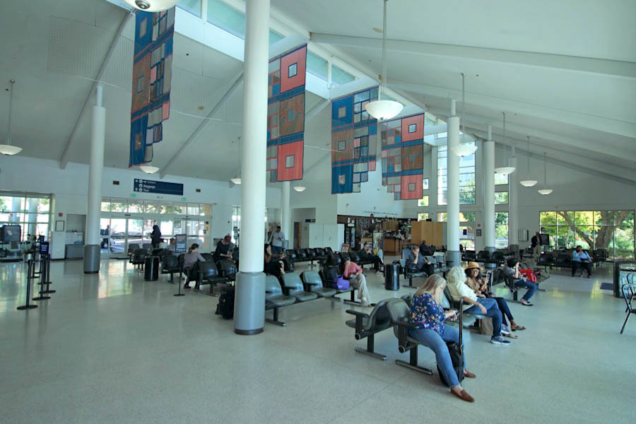
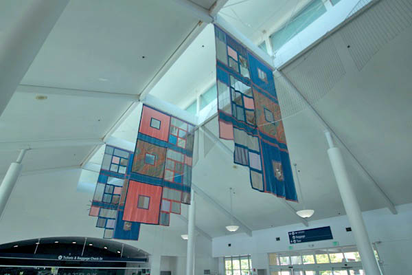
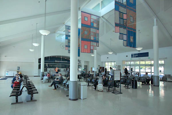
Amtrak presently operates out of a modular structure located at the Salt Lake City Intermodal Transportation Center, which serves as a single point of access to all of the area’s major transportation systems, including Amtrak, intercity and regional buses, light rail and commuter rail. The transportation center is very modern in appearance, aimed to complement Salt Lake City’s reviving urban landscape. It consists of a long main hall with various airport-style kiosks. The north end of the building also includes a circular raised entranceway. The entire length of the front of the building has large, glass windows going up to the roof with an awning extending over much of the surrounding area to provide shade and protection from the weather.
eastbound #6
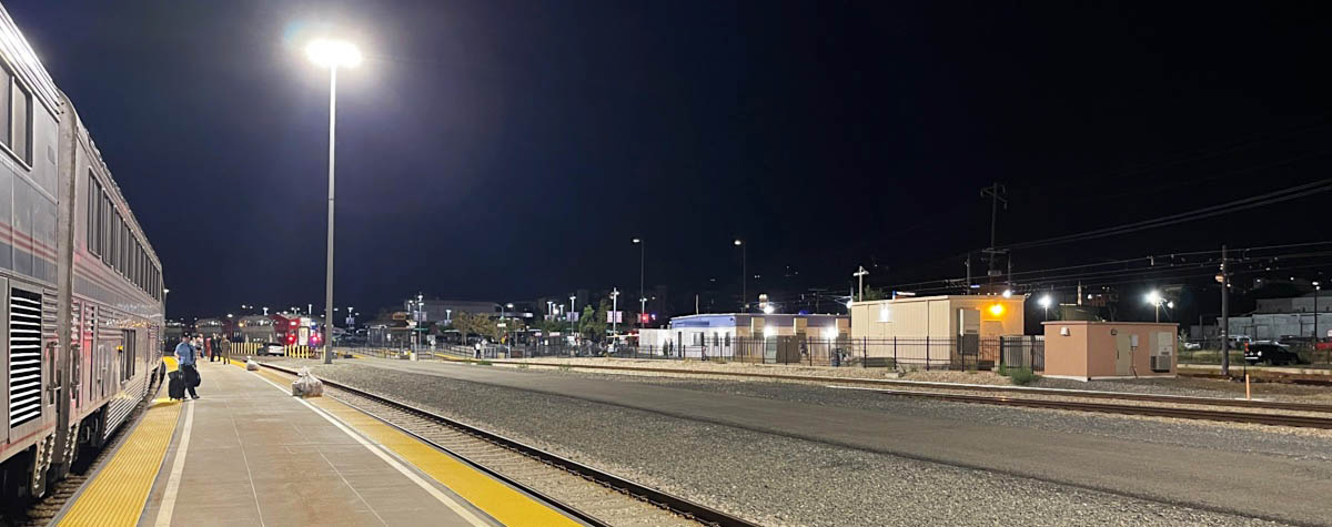
Salt Lake City, Ut / Sep 2023 / RWH
Click to see the Salt Lake City Amtrak depot plotted on a Google Maps page
Salt Lake City, Ut / Sep 2023 / RWH
Sep 2023 / RWH
Salt Lake City, Ut / Sep 2023 / RWH
Sep 2023 / RWH
Sep 2023 / RWH
Salt Lake City, Ut / Sep 2023 / RWH
Salt Lake City, Ut / Sep 2023 / RWH
Sep 2023 / RWH
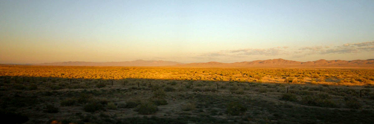
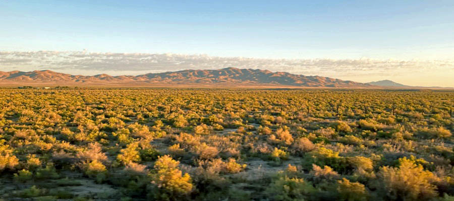
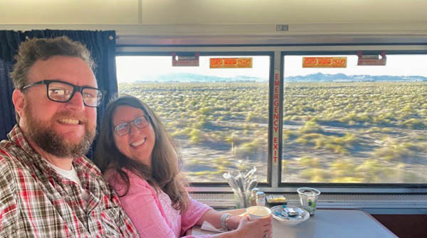
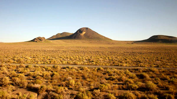
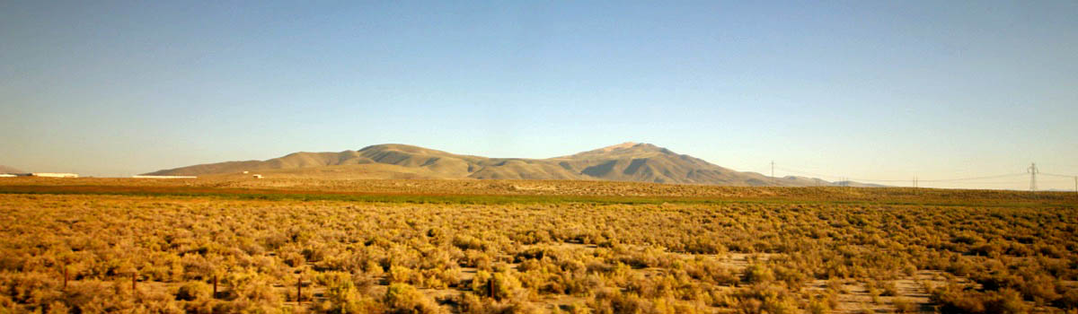
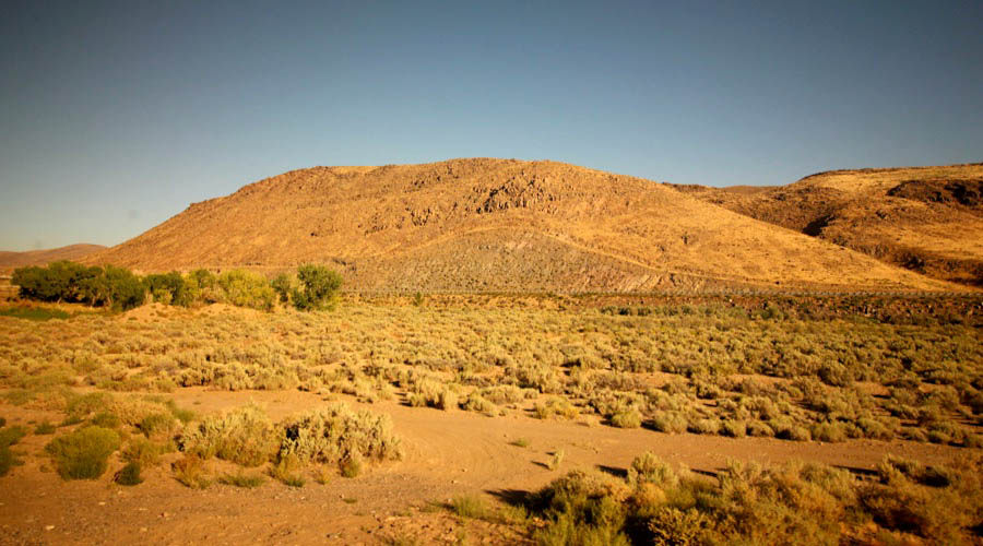
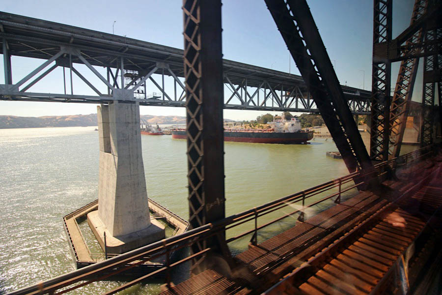
 Nevada
westbound #5
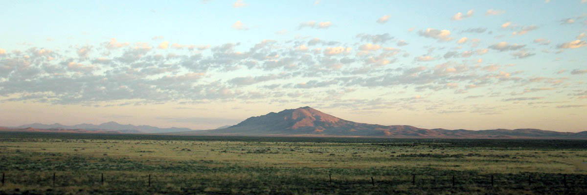
Mill City, Nv / Sep 2023 / RWH
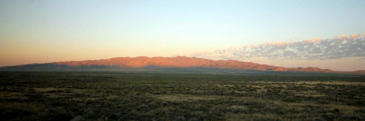
Imlay, Nv / Sep 2023 / RWH
Lovelock, Nv / Sep 2023 / RWH
Fernley, Nv / Sep 2023 / RWH
Fernley, Nv / Sep 2023 / RWH
Wadsworth, Nv / Sep 2023 / RWH
Sep 2023 / RWH
Sparks, Nv / Sep 2023 / RWH
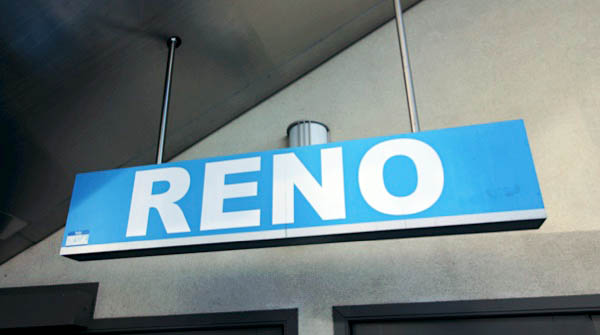
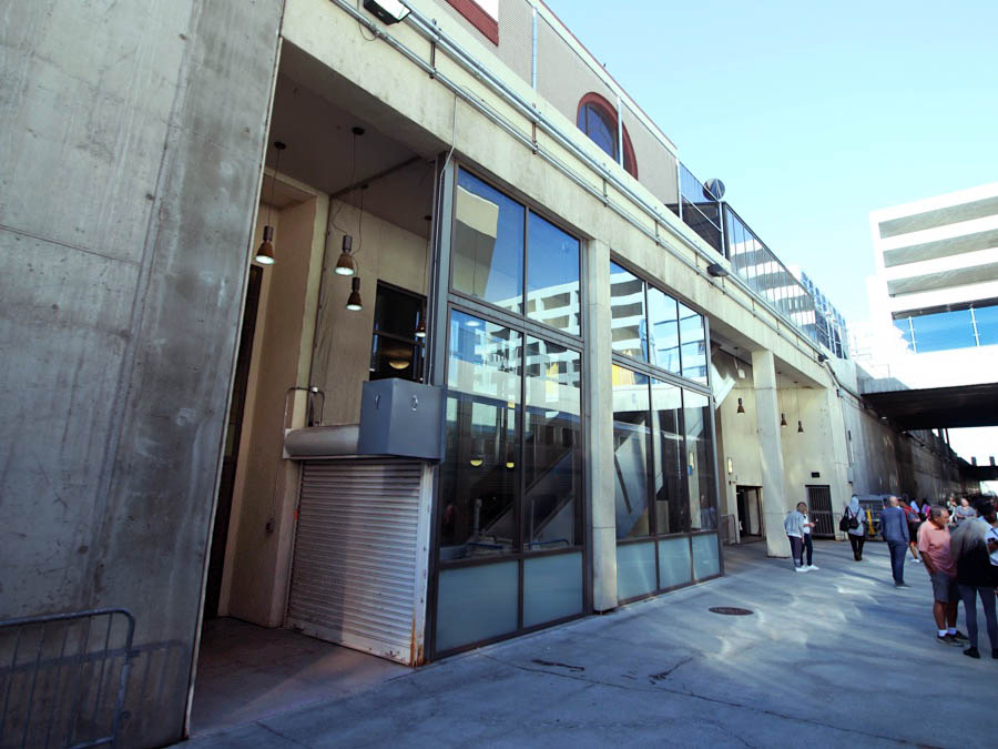
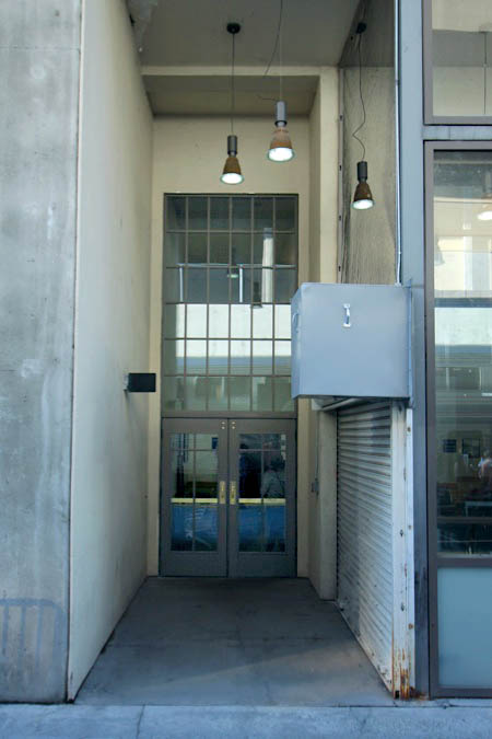
Reno, Nv
Sep 2023 / RWH
Sep 2023 / RWH
Reno, Nv / Sep 2023 / RWH
Sep 2023 / RWH
Click to see the Reno Amtrak station plotted on a Google Maps page
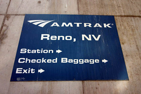
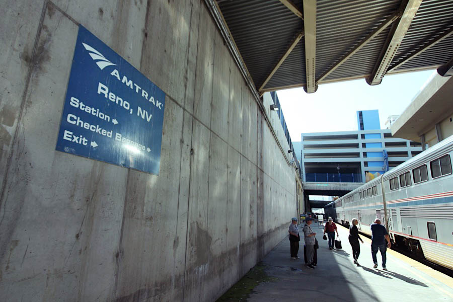
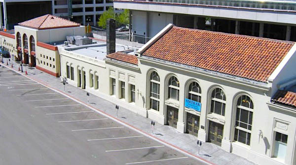 Located a few blocks north of the Truckee River in downtown Reno, the current Amtrak facility was added to the historic Southern Pacific station in 2005. This addition was part of a multi-year, $282 million project that depressed 2.2 miles of the Union Pacific mainline in the heart of the city and eliminated eleven grade crossings. The new building, sited west of the original depot, opened to the public in January 2006. Passengers enter from street level but descend to the waiting room located at the new track level.
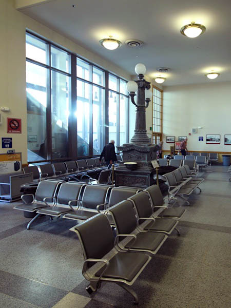
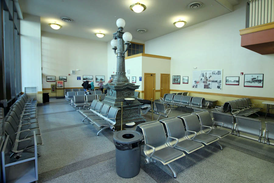
In 2007, a large fountain that once stood in downtown Reno was installed in the Amtrak waiting room. Commissioned by the Women’s Christian Temperance Union, the 14-foot-tall monument was originally unveiled on Oct. 17, 1908. One of many erected by temperance leagues across the country, the fountain was intended to keep men out of saloons by providing a free source of water for them and their horses and dogs. Included on the fountain is the Red Cross symbol as well as crossed swords representing the First Calvary Volunteers of Nevada, which fought in the Philippines during the Spanish-American War.
The Reno City Council provided most of the $50,000 in funding for the fountain restoration and relocation, fulfilling a public art component of the track relocation project. While it no longer gurgles with water, the monument welcomes travelers. A plaque in the waiting room explains the history of the fountain, and is joined by historic images of the SP station.
Sep 2023 / RWH
Sep 2023 / RWH
westbound #5
Reno, Nv / Sep 2023 / RWH
Sep 2023 / RWH
Reno, Nv / Sep 2023 / RWH
Reno, Nv / Sep 2023 / RWH
Sep 2023 / RWH
Reno, Nv / Sep 2023 / RWH

eastbound #6
Reno, Nv / Sep 2023 / RWH
Reno, Nv / Sep 2023 / RWH
Sep 2023 / RWH
Reno, Nv / Sep 2023 / RWH
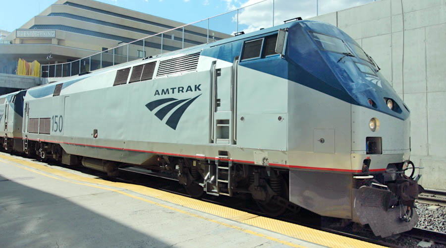
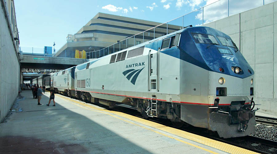
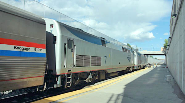
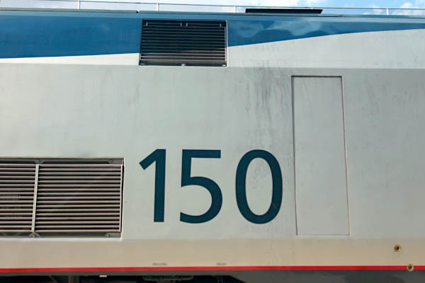
Amtrak #150
Reno, Nv / Sep 2023 / RWH
Sep 2023 / RWH
Sep 2023 / RWH
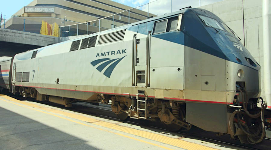
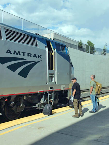
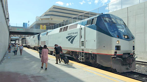
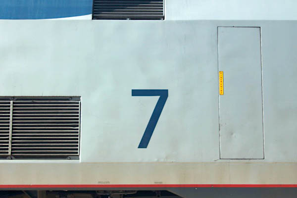
Amtrak #7
Reno, Nv / Sep 2023 / RWH
Sep 2023 / RWH
Sep 2023 / RWH
Reno, Nv / Sep 2023 / RWH
Reno, Nv / Sep 2023 / RWH
Reno, Nv / Mar 1989 / Drew Jacksich 
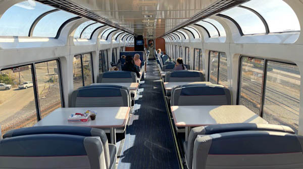
 California
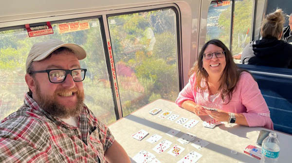
Floriston, Ca / Sep 2023 / RWH
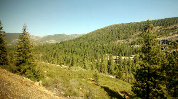
Truckee, Ca / Sep 2023 / RWH
Truckee, Ca / Sep 2023 / RWH
Truckee, Ca / Sep 2023 / RWH
Truckee, Ca / Sep 2023 / RWH
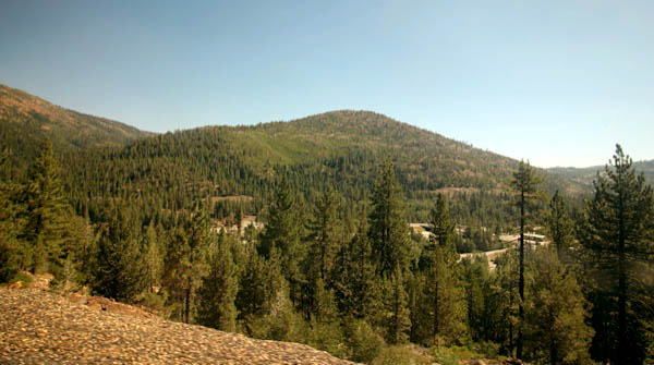
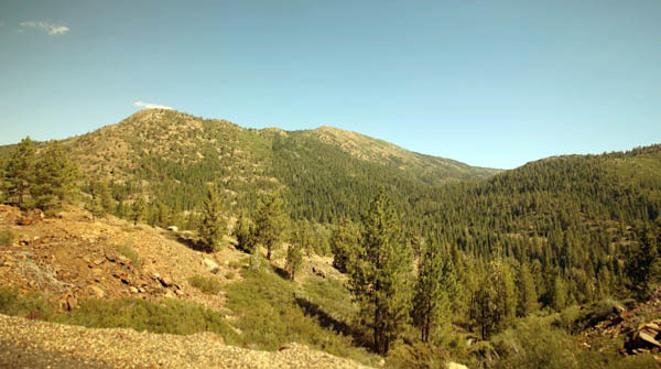
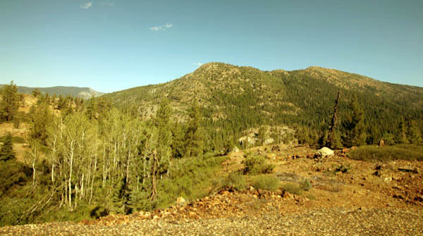
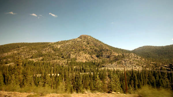
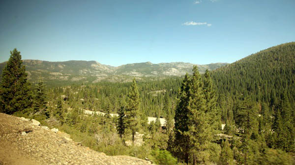
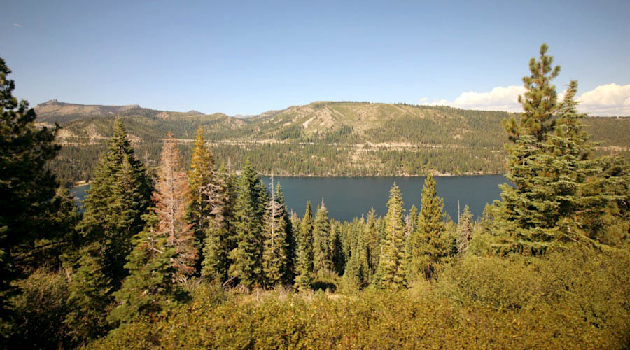
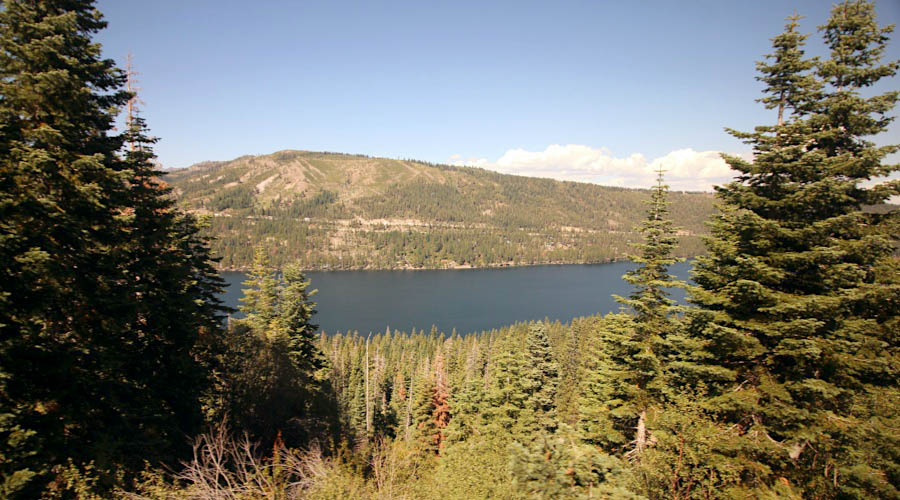
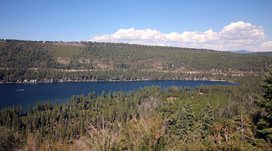
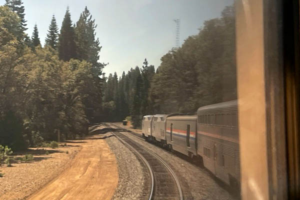
Cisco, Ca / Sep 2023 / RWH
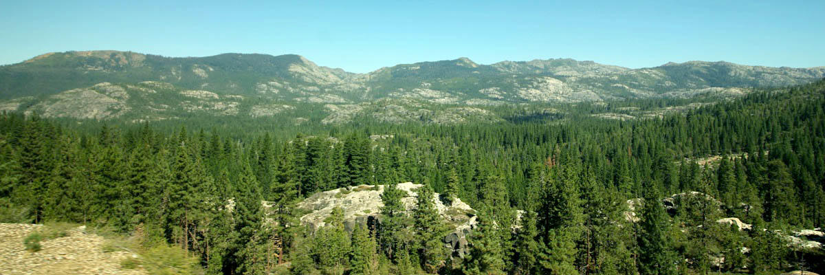
Blue Canyon, Ca / Sep 2023 / RWH
Alta, Ca / Sep 2023 / RWH
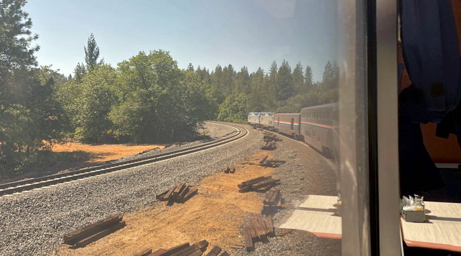
Sep 2023 / RWH
Sep 2023 / RWH
Colfax, Ca / Sep 2023 / RWH
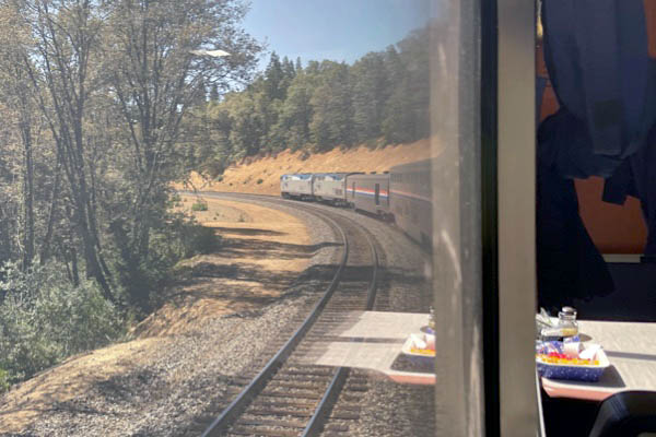
Colfax, Ca / Sep 2023 / RWH
Colfax, Ca / Sep 2023 / RWH
Colfax, Ca / Sep 2023 / RWH
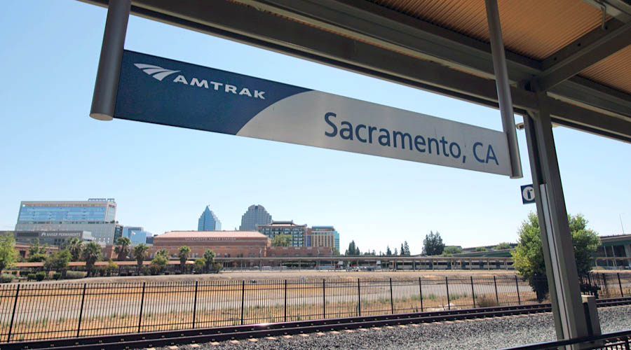
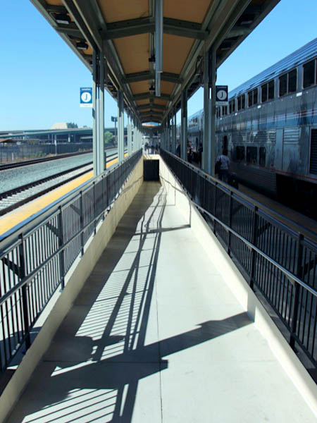
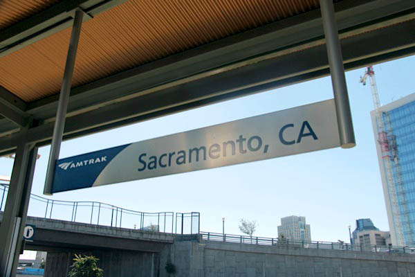
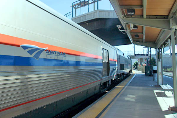
Sacramento, Ca
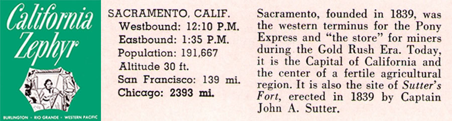
1967 brochure / collection
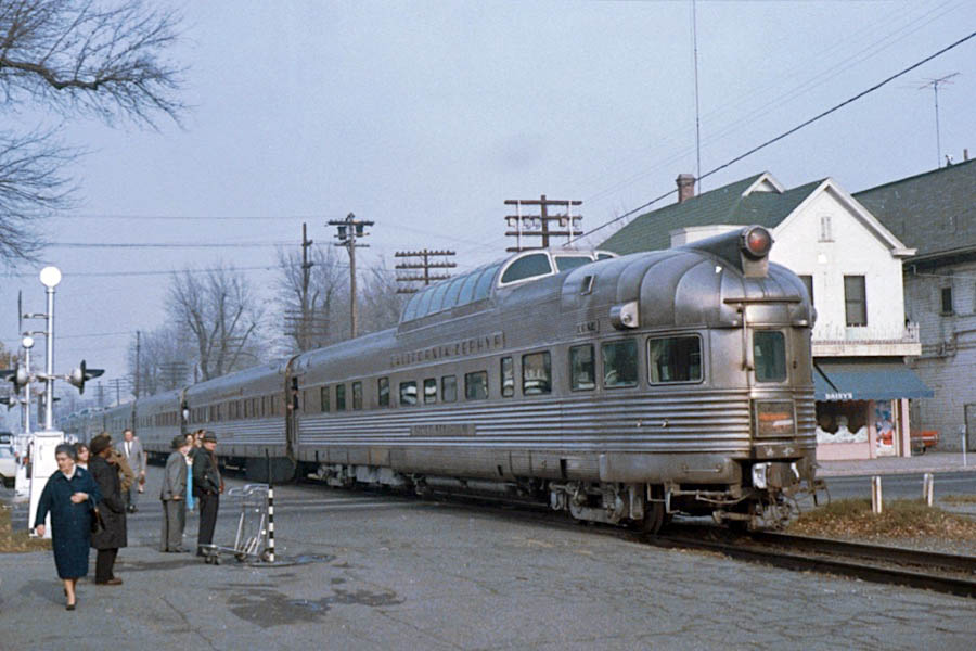
Sacramento, Ca / Dec 1968 / Henry Frick
Sacramento, Ca / Sep 2023 / RWH
Click to see the Sacramento Valley station complex plotted on a Google Maps page
Sacramento, Ca / Sep 2023 / RWH
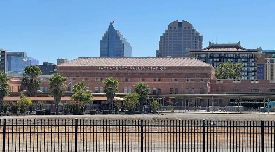
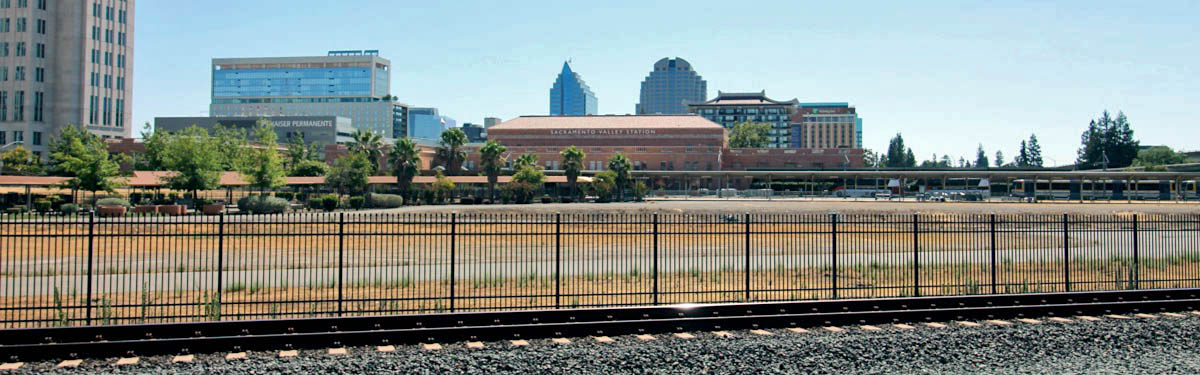
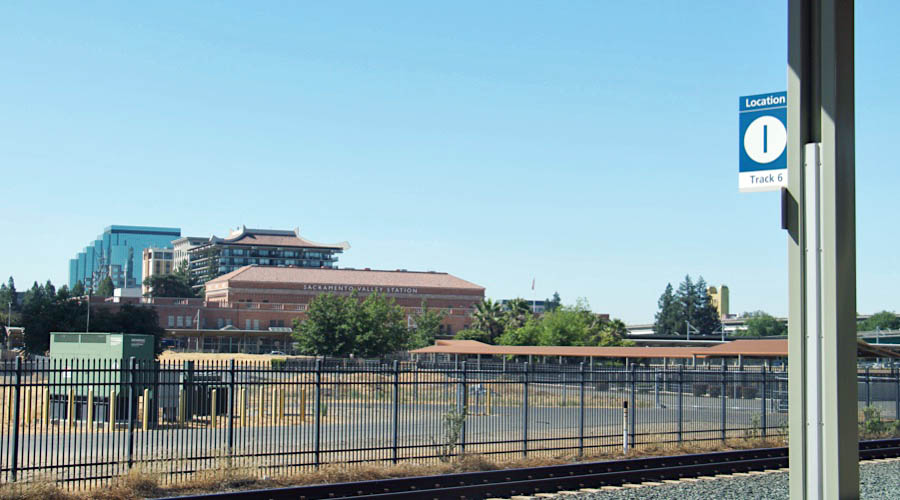
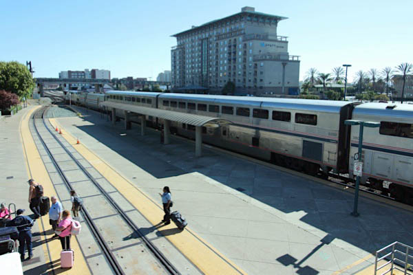
 he historic Sacramento station, opened by the Southern Pacific Railroad (SP) in 1926, succeeded at least two earlier SP stations on the site, which is part of a complex that dates back to 1863 and the Central Pacific Railroad’s construction of the western portion of the first transcontinental rail line. The station sits on an approximately 240-acre rail yard that was originally filled with every kind of building and equipment necessary for the fabrication of locomotives and rolling stock.
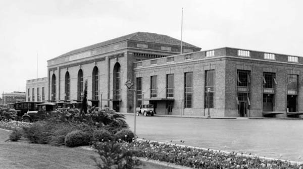 Designed by the San Francisco architectural firm of Bliss and Faville, the three story building with red tile roof employs a dignified Renaissance Revival style. A reinforced concrete frame is faced with Italian sienna-colored brick trimmed with terracotta. The famous waiting room includes a 40-foot-high barrel vaulted ceiling, Philippine mahogany woodwork and marble floors. Enormous arched windows allow sunlight, filtered through leaded, amber-colored glass, to stream into the space. A mural by John A. MacQuarrie located on the east wall of the waiting room depicts the 1863 groundbreaking ceremony of the Central Pacific Railroad.
The station is a key component in a massive development deal—more than a decade in the making—that is meant to create a multimodal transportation hub, revitalize Sacramento’s urban core and end 150 years of railroad ownership over a large area immediately adjacent to downtown. This vision includes redevelopment of the station complex and the Sacramento Railyards, which is reputed to be the largest infill development in the United States.
Sacramento, Ca / Sep 2023 / RWH
Sacramento, Ca / Sep 2023 / RWH
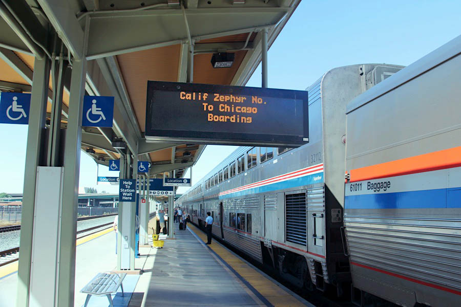
eastbound #5
Sep 2023 / RWH
Sacramento, Ca / Sep 2023 / RWH
Sacramento, Ca / Sep 2023 / RWH
Sep 2023 / RWH
westbound #6
Sacramento, Ca / Sep 2023 / RWH
Sep 2023 / RWH
Sep 2023 / RWH
Sep 2023 / RWH
Sacramento, Ca / Sep 2023 / RWH
Sacramento, Ca / Sep 2023 / RWH
Sacramento, Ca / Sep 2023 / RWH
Sep 2023 / RWH
Sep 2023 / RWH
Sep 2023 / RWH
Sep 2023 / RWH
Sep 2023 / RWH
Sep 2023 / RWH
Sacramento, Ca / Sep 2023 / RWH
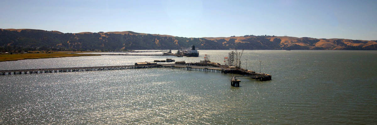
Bay area
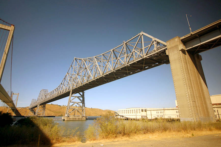
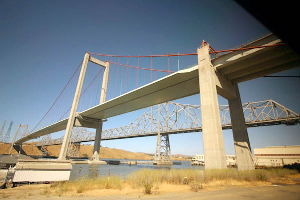
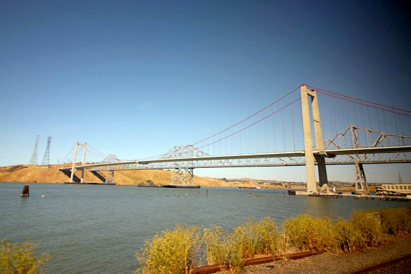
Benicia, Ca / Sep 2023 / RWH
Benicia, Ca / Sep 2023 / RWH

Martinez, Ca / Sep 2023 / RWH
Martinez, Ca / Sep 2023 / RWH
Martinez, Ca / Sep 2023 / RWH
Martinez, Ca / Sep 2023 / RWH
Port Costa, Ca / Sep 2023 / RWH
Port Costa, Ca / Sep 2023 / RWH
Crockett, Ca / Sep 2023 / RWH
Crockett, Ca / Sep 2023 / RWH
Crockett, Ca / Sep 2023 / RWH
Rodeo, Ca / Sep 2023 / RWH
Hercules, Ca / Sep 2023 / RWH
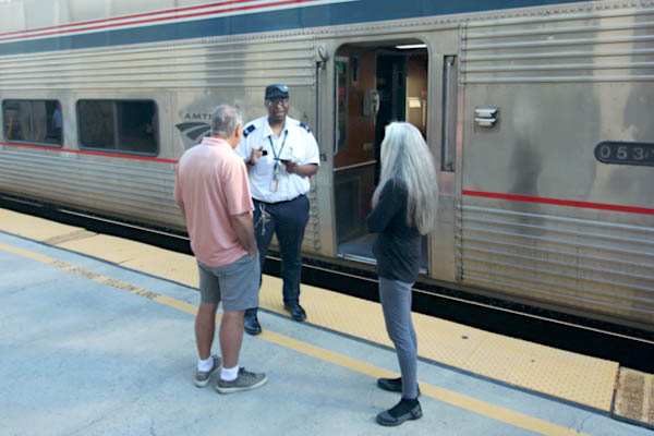
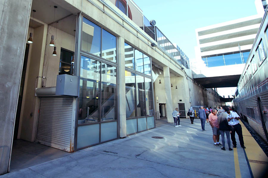
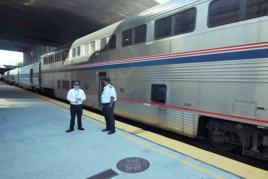
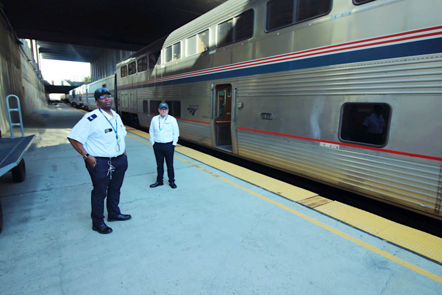
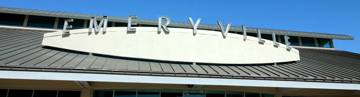
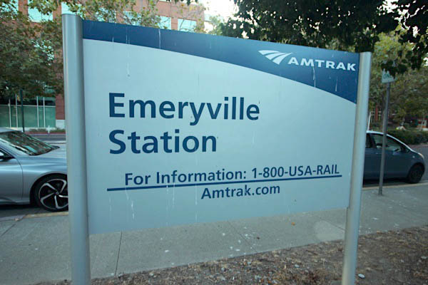
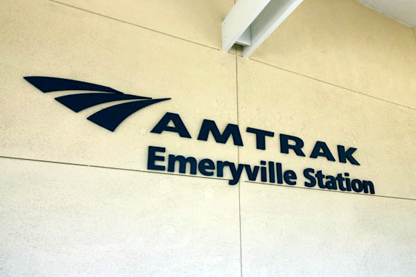
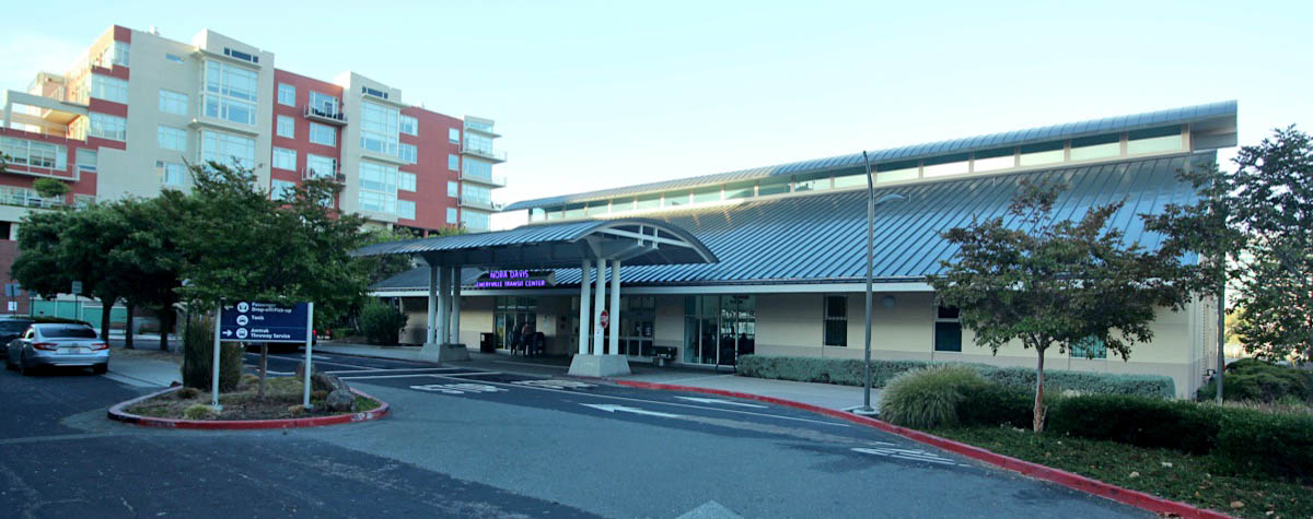
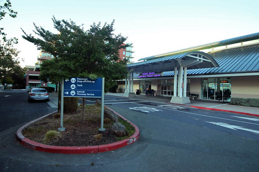
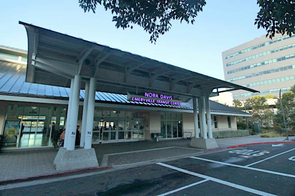
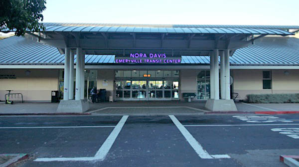
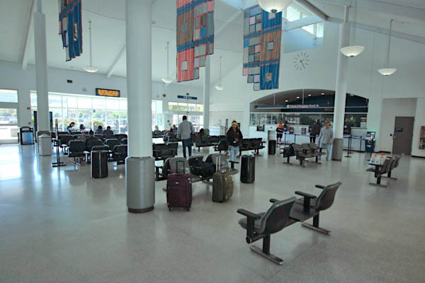
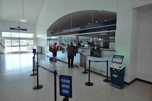
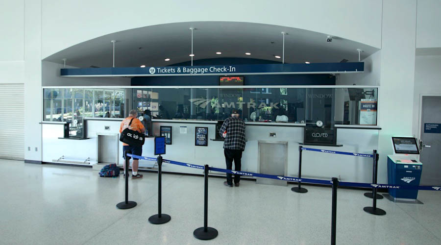
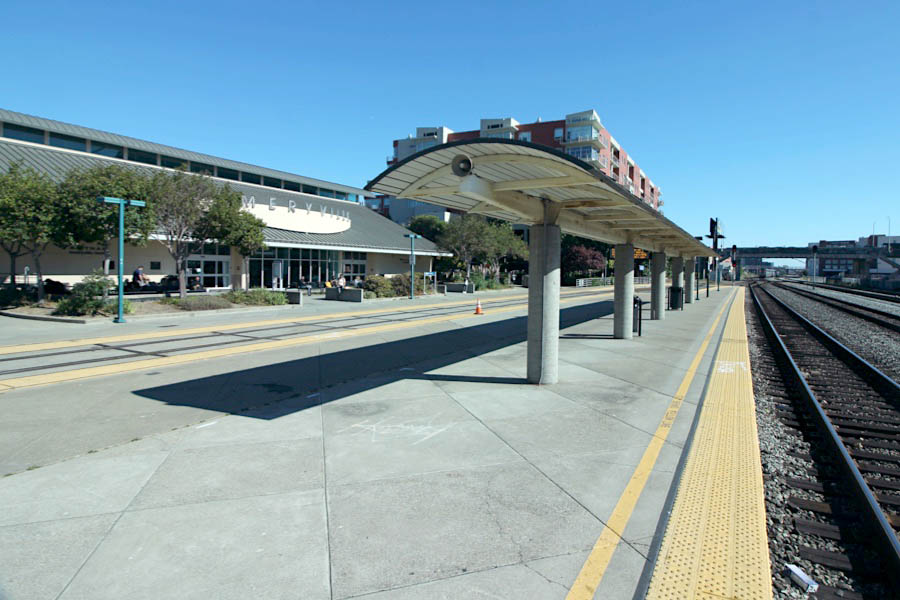
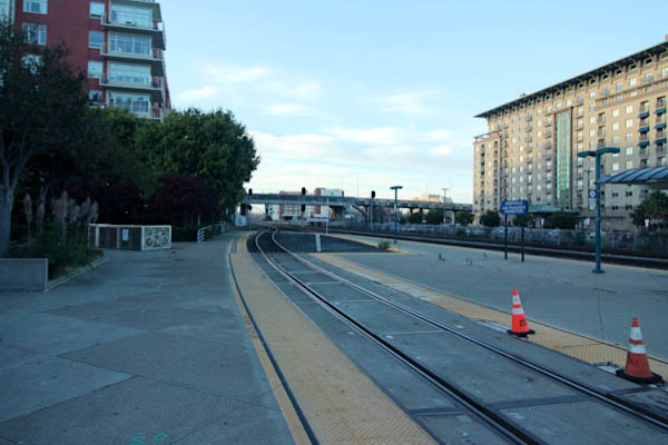
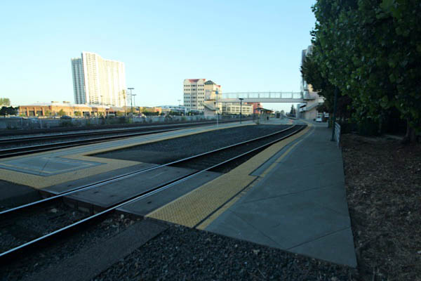
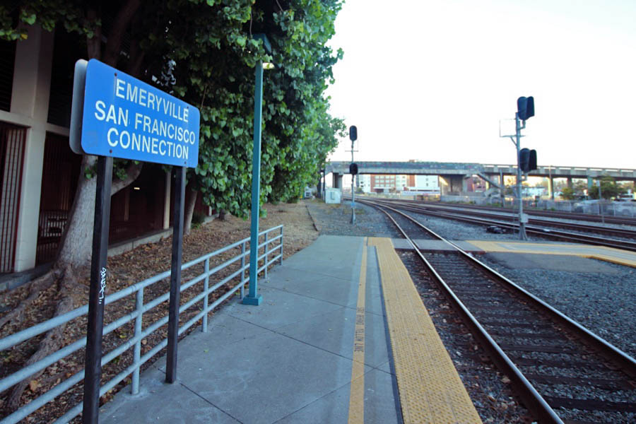
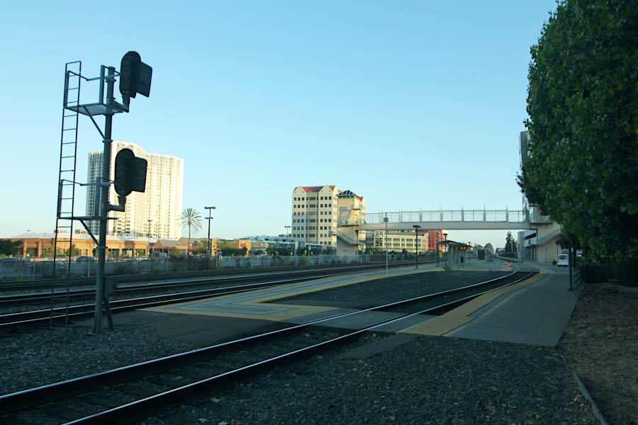
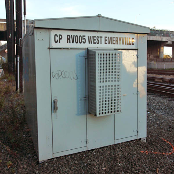
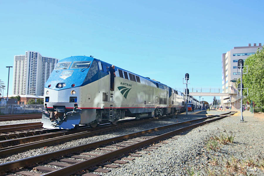
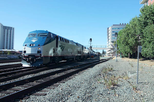
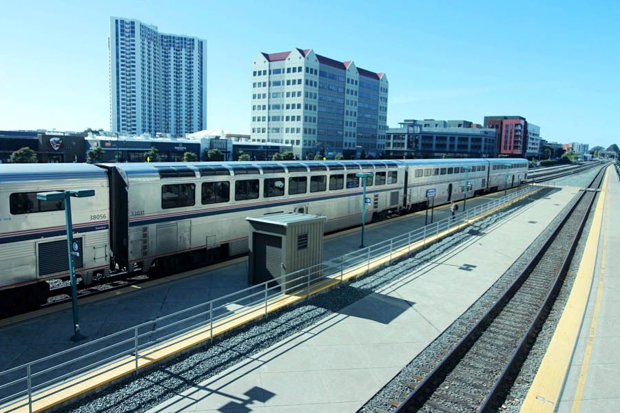
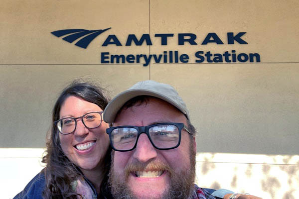
Emeryville, Ca
Sep 2023 / RWH
Sep 2023 / RWH
Sep 2023 / RWH
Emeryville, Ca / Sep 2023 / RWH
Click to see the Emeryville Amtrak station area plotted on a Google Maps page
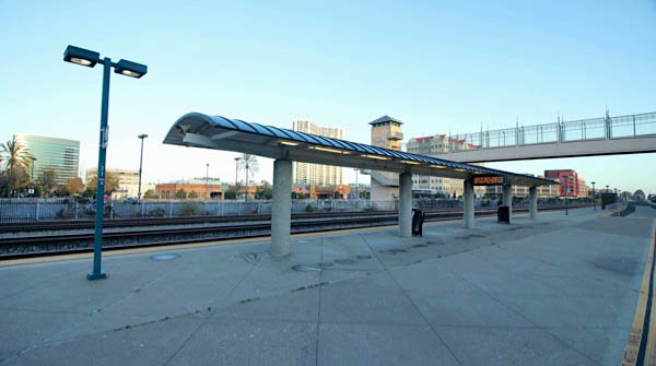
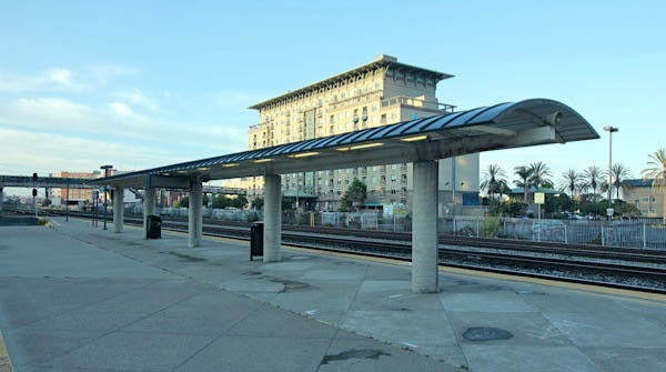
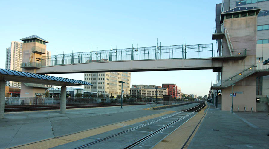
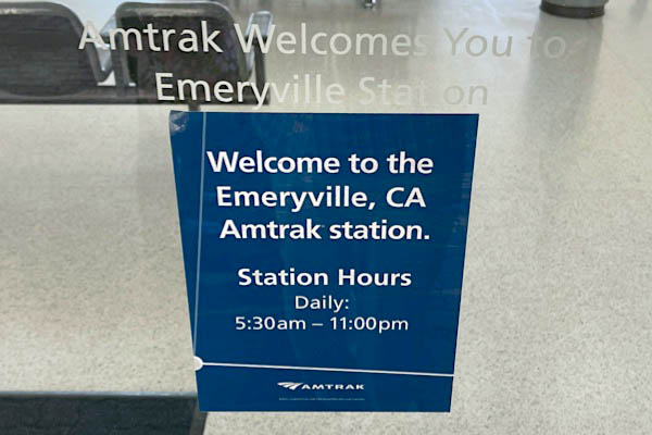
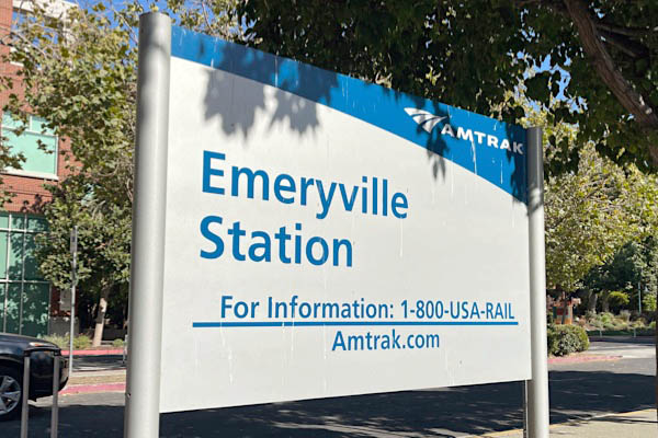
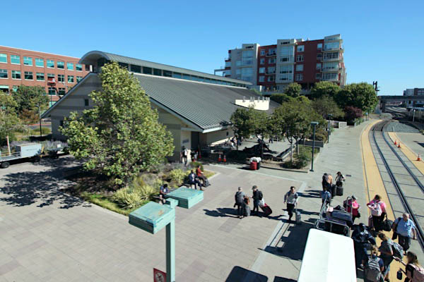
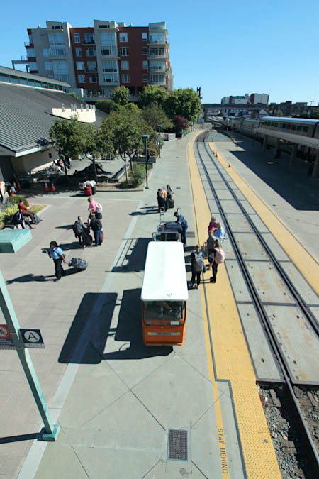
Located between Berkeley and Oakland, this full-service station opened in 1994 to replace Amtrak’s 16th Street station in Oakland, which was condemned after the 1989 Loma Prieta earthquake. Emeryville was the first new train station to be built in northern California in more than sixty years. (A new Oakland station opened in 1995 in Jack London Square.)
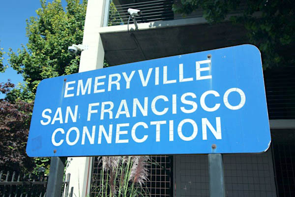
Although California Coastal Service trains continue from Emeryville to Oakland, it is the western terminus of the California Zephyr, as the lack of train-turning facilities at Oakland would mean the California Zephyr would need to reverse itself for five miles along Oakland’s Embarcadero to be serviced. As such, Emeryville is an important transfer point for passengers to use Amtrak Thruway Motorcoaches to reach destinations across the bay in San Francisco.
An intermodal center, the Emeryville station serves three dozen daily short and long distance trains, Amtrak Thruway bus service to San Francisco and local bus service.
Emeryville, Ca / Sep 2023 / RWH
Sep 2023 / RWH
Emeryville, Ca / Sep 2023 / RWH
Sep 2023 / RWH
Sep 2023 / RWH
Sep 2023 / RWH
Sep 2023 / RWH
Sep 2023 / RWH
Sep 2023 / RWH
Sep 2023 / RWH
Emeryville, Ca / Sep 2023 / RWH
Emeryville, Ca / Sep 2023 / RWH
Emeryville, Ca / Sep 2023 / RWH
Emeryville, Ca / Sep 2023 / RWH
Sep 2023 / RWH
Sep 2023 / RWH
Emeryville, Ca / Sep 2023 / RWH
Emeryville, Ca / Sep 2023 / RWH
Emeryville, Ca / Sep 2023 / RWH
Emeryville, Ca / Sep 2023 / RWH
Sep 2023 / RWH
westbound #5
Emeryville, Ca / Sep 2023 / RWH
Emeryville, Ca / Sep 2023 / RWH
Emeryville, Ca / Sep 2023 / RWH
Emeryville, Ca / Sep 2023 / RWH
Emeryville, Ca / Sep 2023 / RWH
Emeryville, Ca / Sep 2023 / RWH
Sep 2023 / RWH
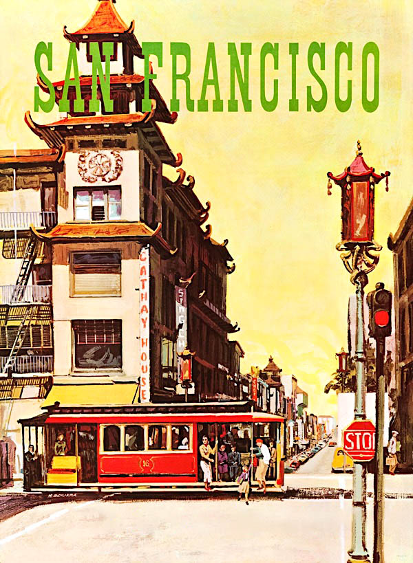
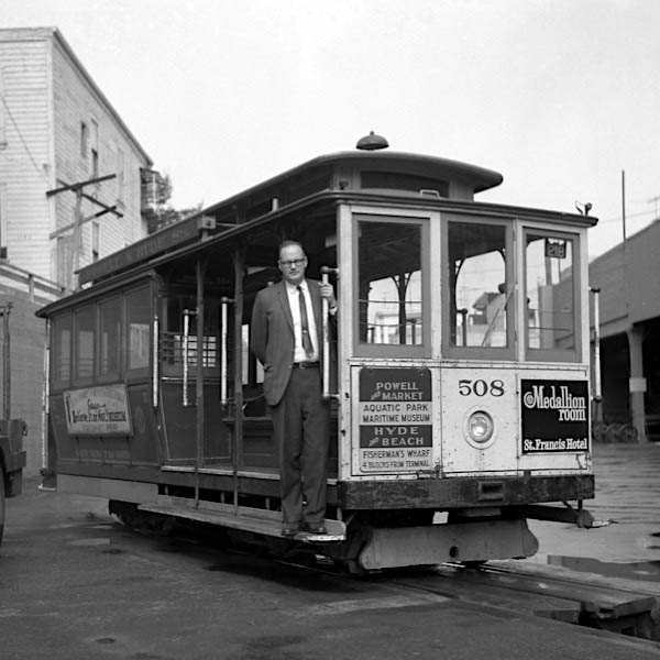
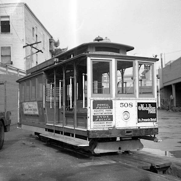
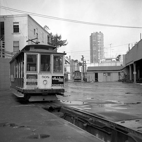
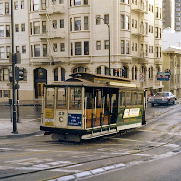
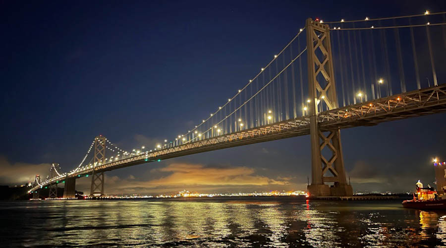
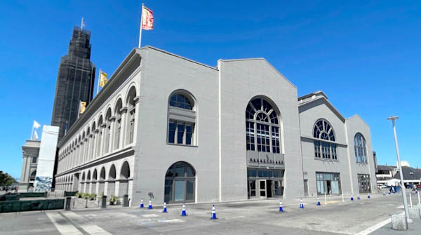
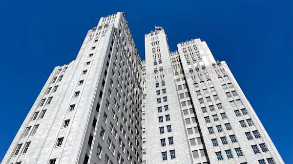
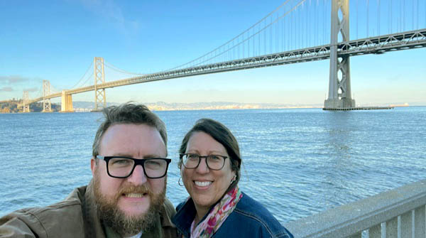
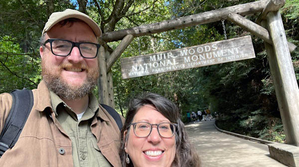
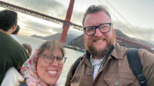
San Francisco, Ca
1967 brochure clipping / collection
collection
San Francisco, Ca / Feb 1968 / Lucile Hawkins
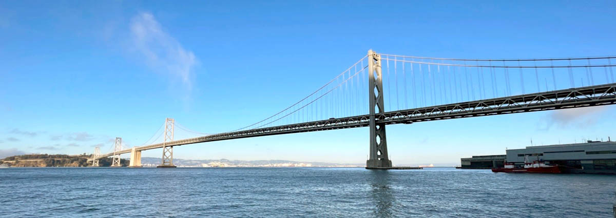
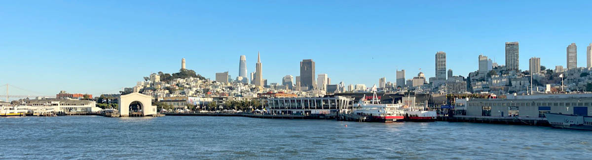
San Francisco, Ca / Sep 2023 / RWH
San Francisco, Ca / Sep 2023 / RWH
Sep 2023 / RWH
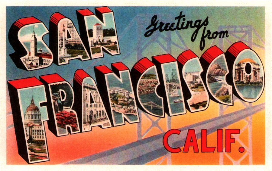
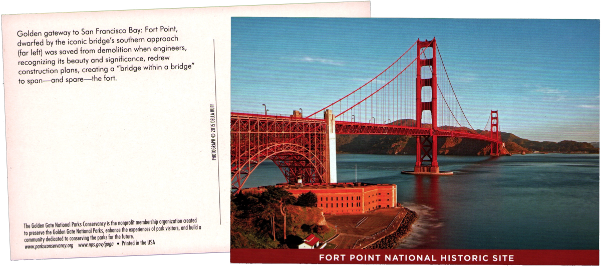
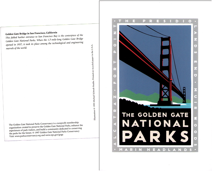
postcard / collection
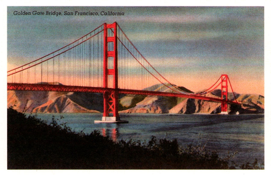
postcard / collection
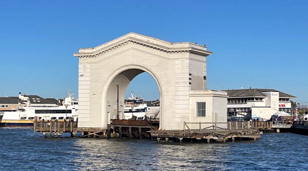
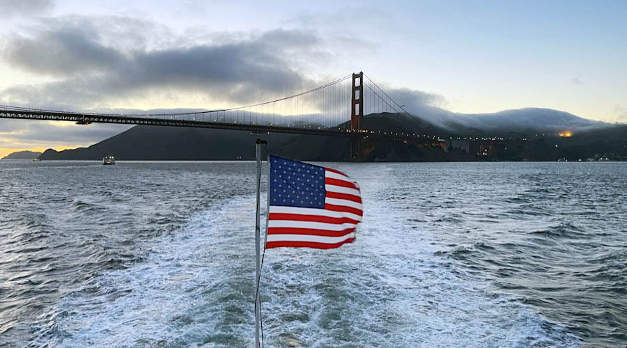
San Francisco, Ca / Sep 2023 / RWH
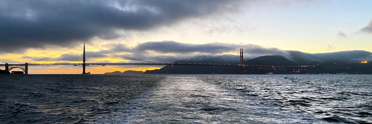
San Francisco, Ca / Sep 2023 / RWH
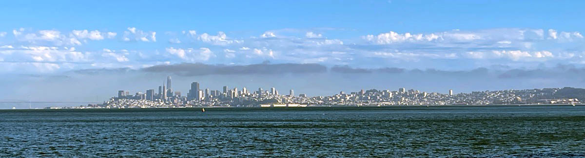
San Francisco, Ca / Sep 2023 / RWH
San Francisco, Ca / Sep 2023 / RWH
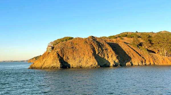
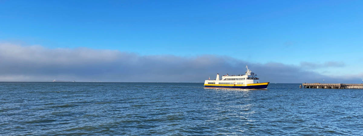
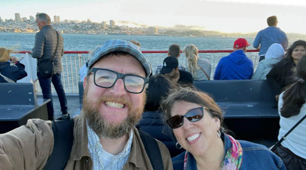
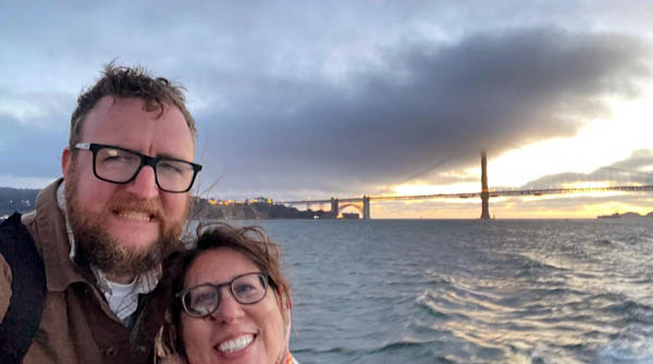
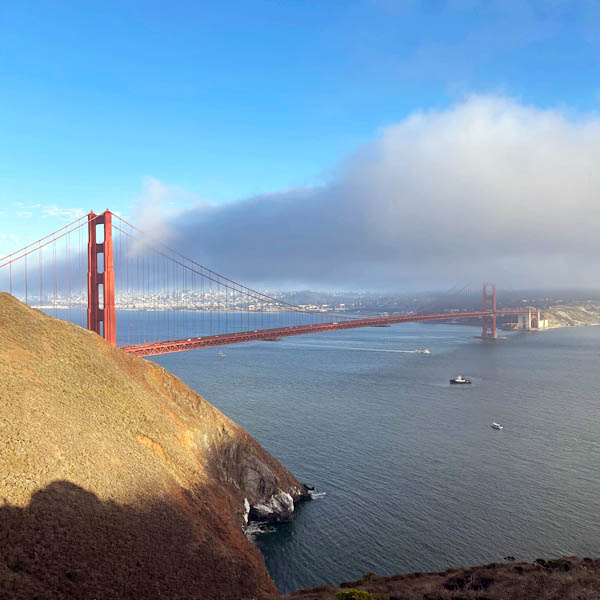
Tiburon, Ca / Sep 2023 / RWH
postcard / collection
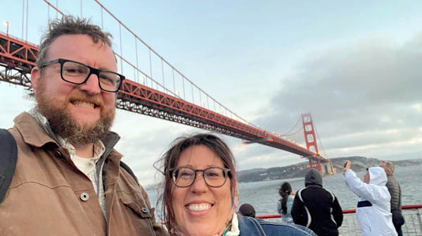
San Francisco, Ca / Sep 2023 / RWH
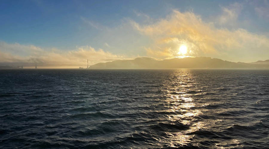
Sep 2023 / RWH
San Francisco, Ca / Sep 2023 / RWH
San Francisco, Ca / Sep 2023 / RWH
San Francisco, Ca / Sep 2023 / RWH
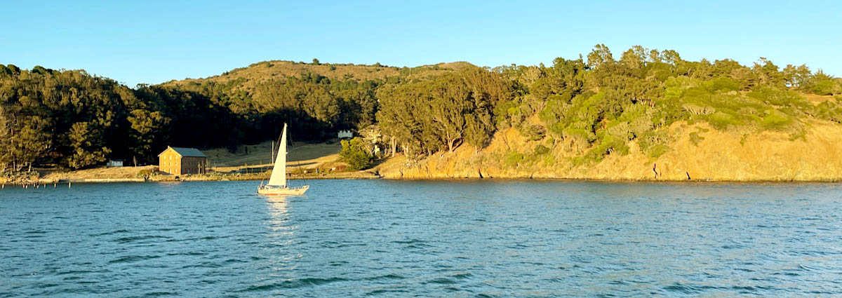
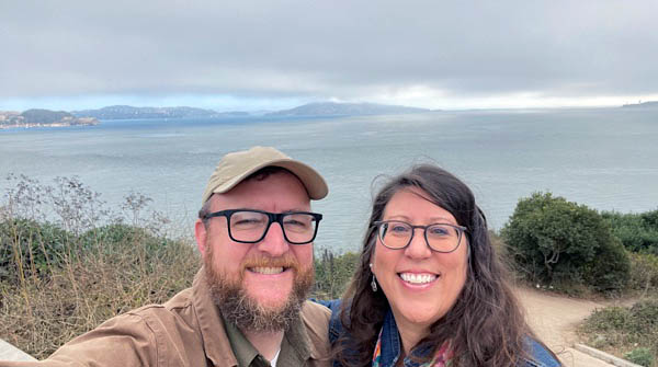
Belvedere, Ca / Sep 2023 / RWH
postcard / collection
Sep 2023 / RWH
 Then and Now
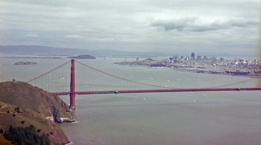
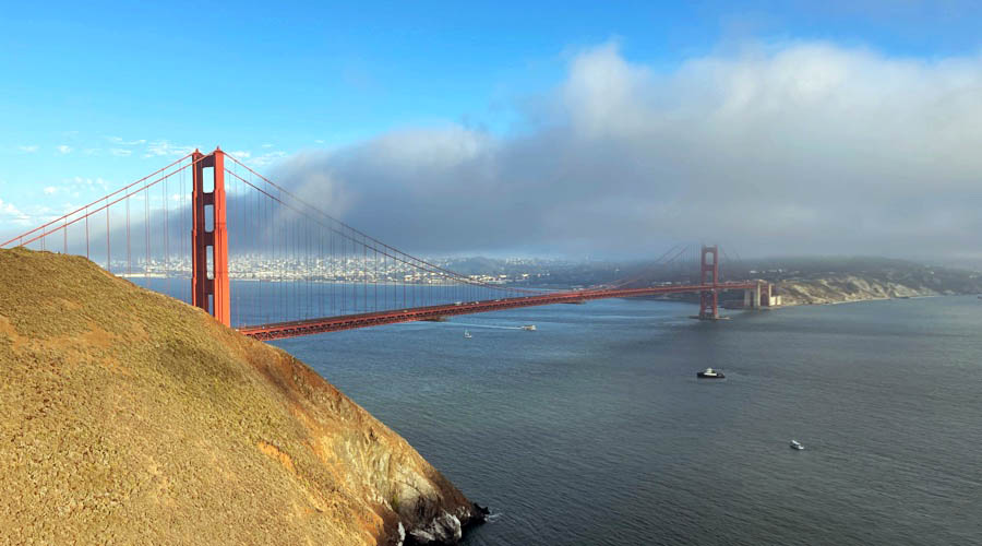
San Francisco, Ca / 1978 and 2023 / JCH and RWH
San Francisco, Ca / 1978 and 2023 / JCH and RWH
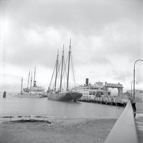
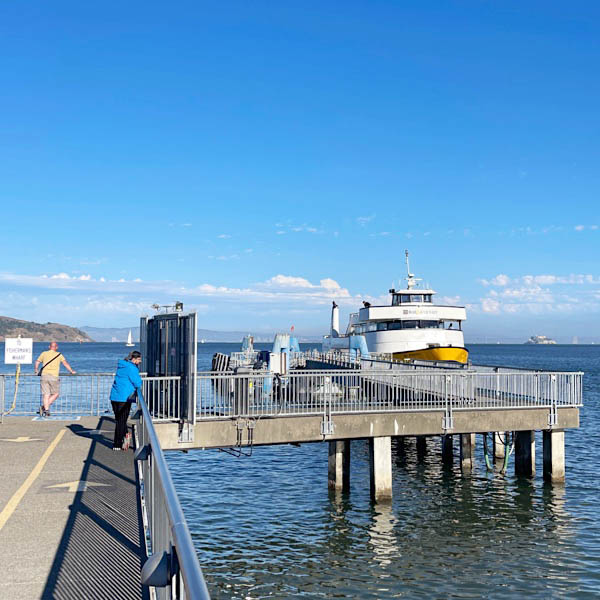
Sausalito, Ca / Feb 1968 and Sep 2023 / JCH and RWH

See also these San Francisco related scrapbooks: