


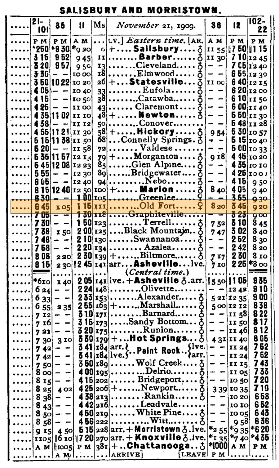
 |
Old Fort Train StationGateway to Southern Railways' "Land of the Sky" |
Old Fort, NC / Jun 2021 / RWH

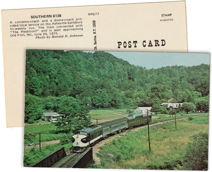
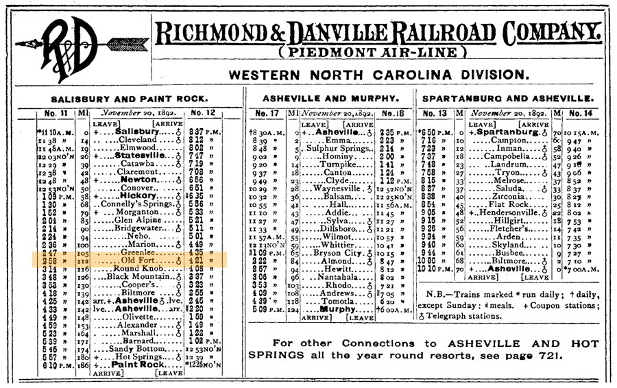
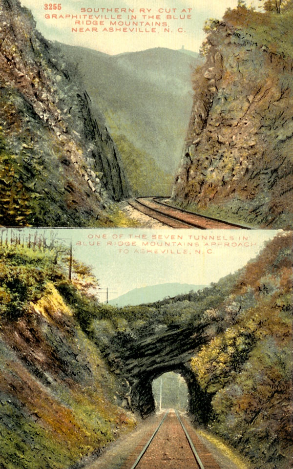
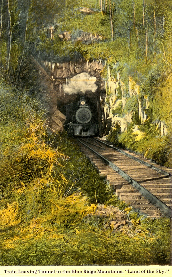
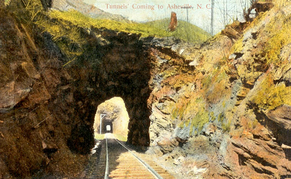
 In the summer, I would take the train to visit my grandparents in Hendersonville. My favorite part was across Swannanoa Gap. Often when the train stopped at the Old Fort Depot, school children would scramble on with bag lunches for a field trip up the mountain. As the train entered each of the seven tunnels, we heard squeals and screams throughout the passenger cars. During winter, long icicles glistened on the tunnel walls. The last passenger train stopped at Old Fort Depot in 1975.
Kay Fetner — Carolina Country
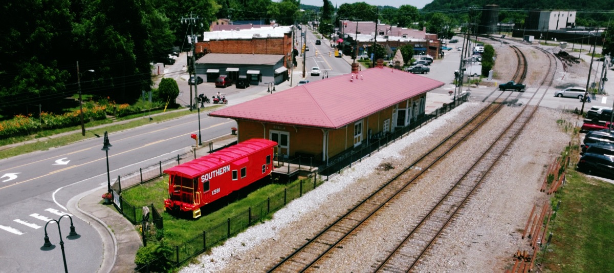
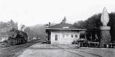
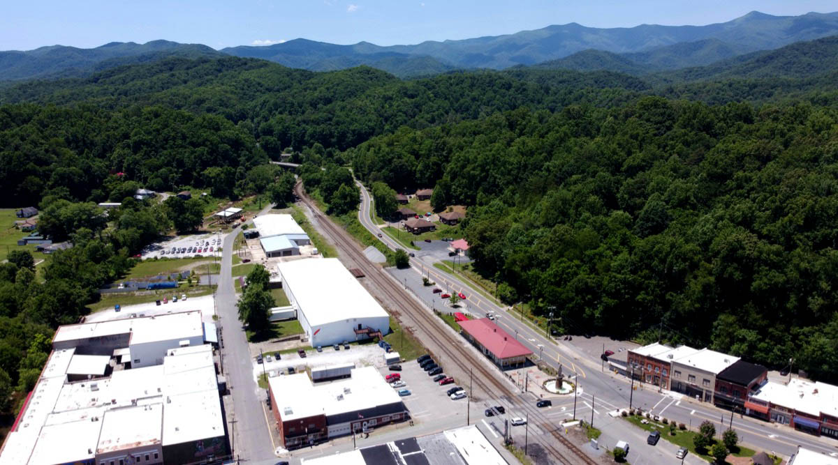
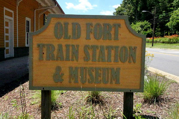
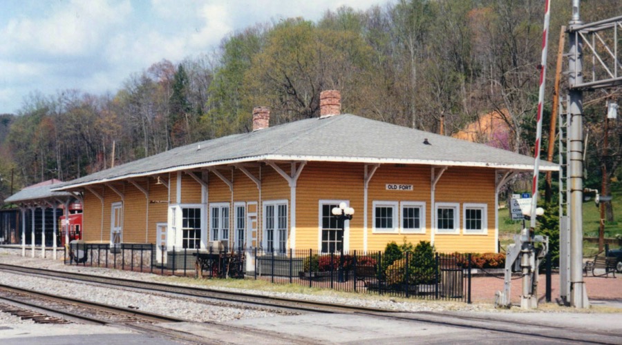
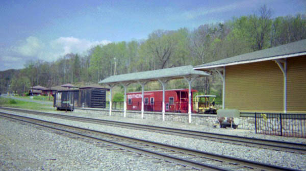
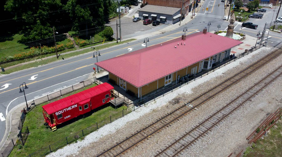
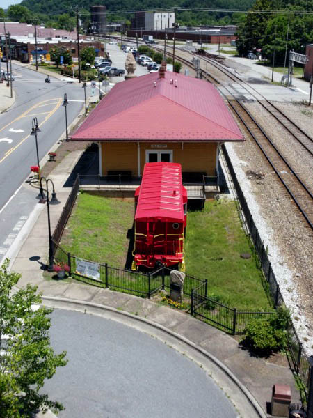
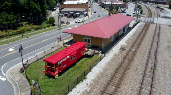
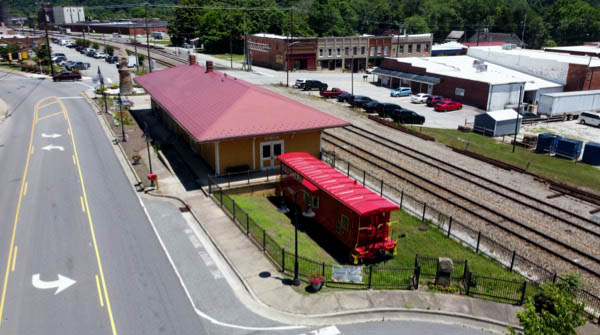
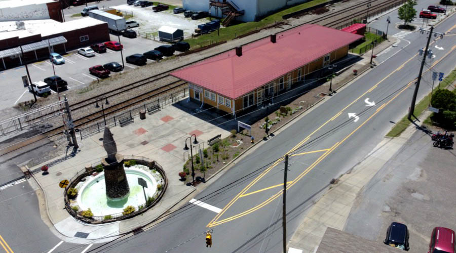
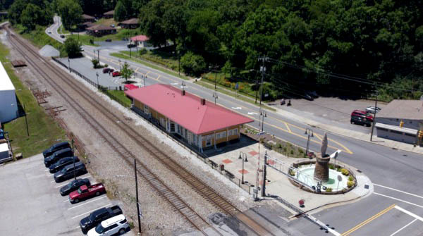
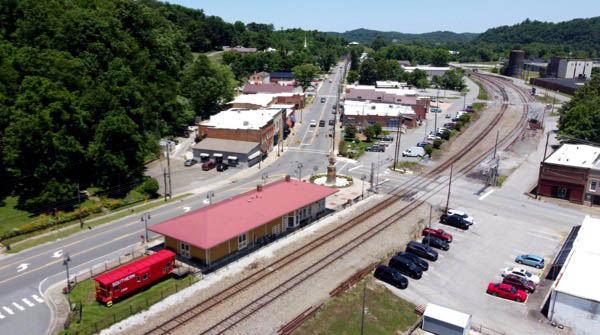
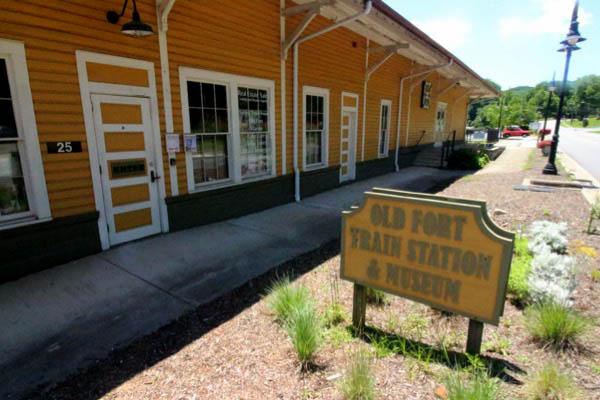
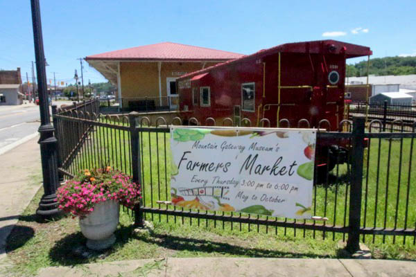
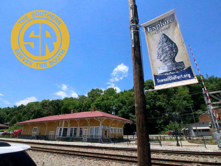
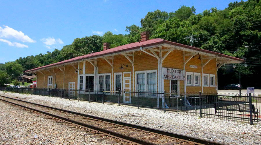
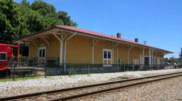
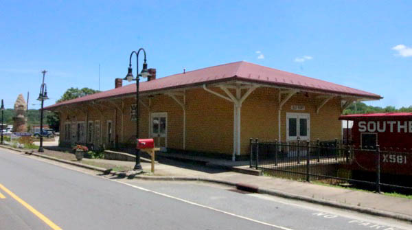
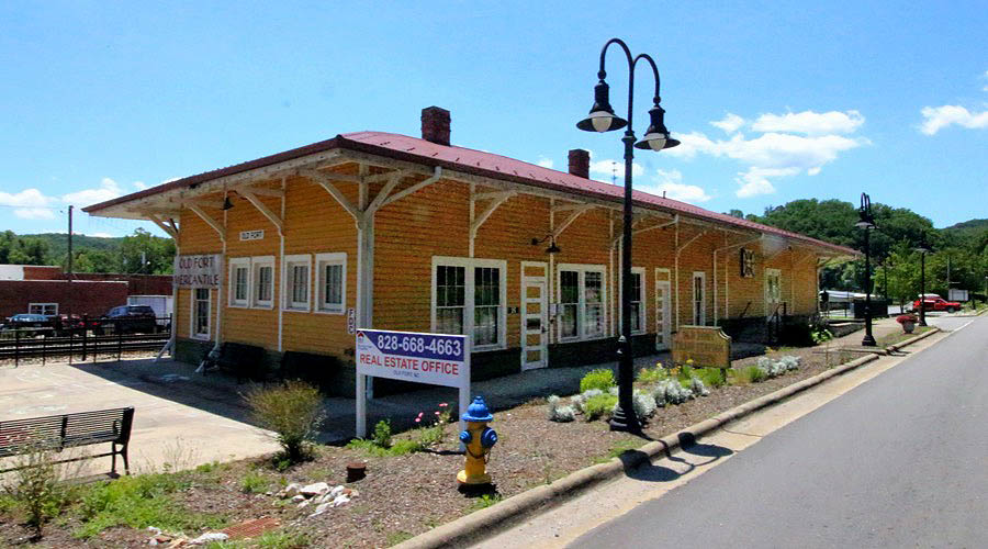
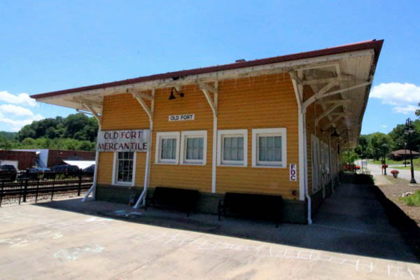
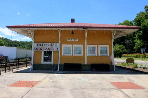
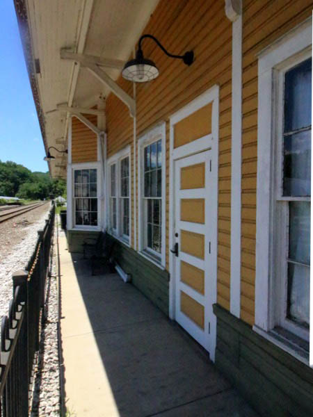
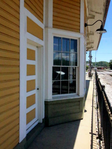
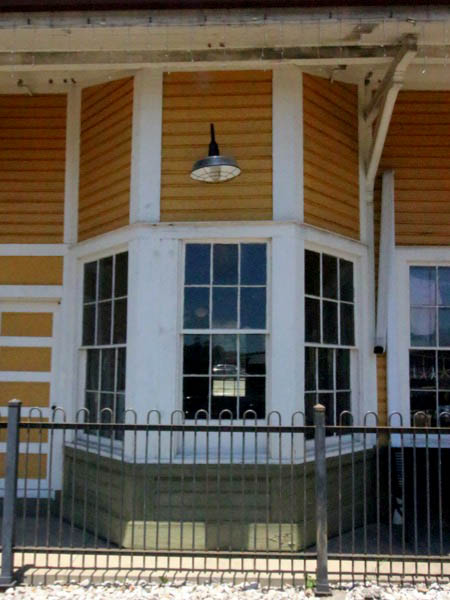
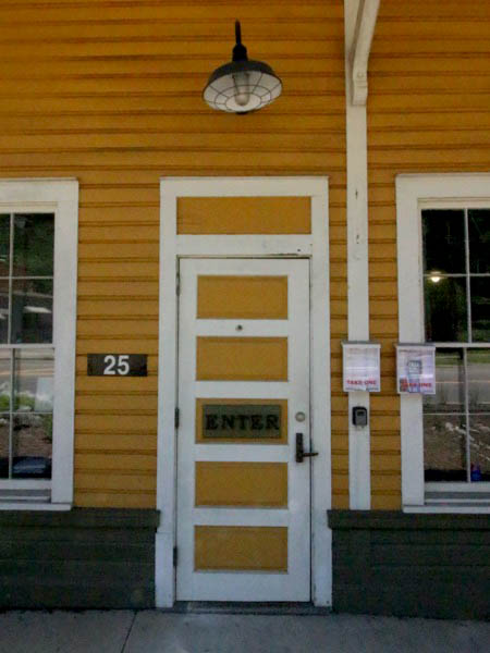
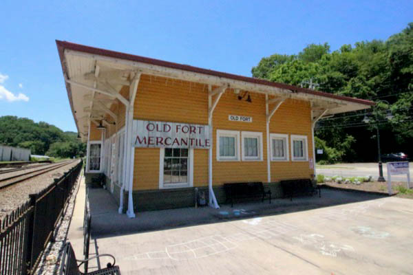
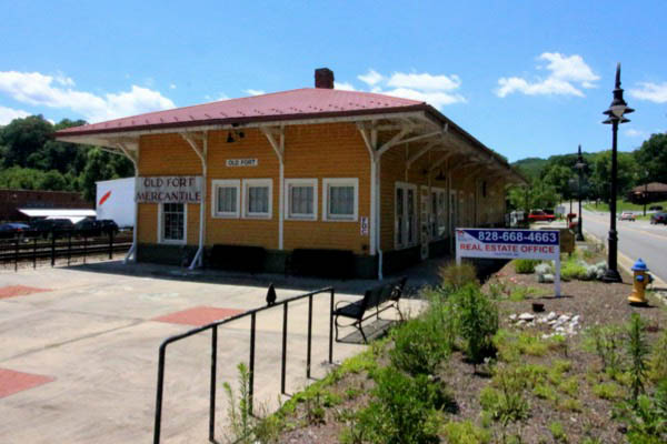
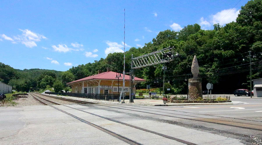
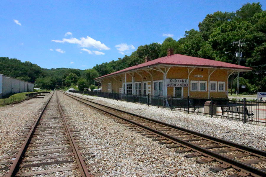
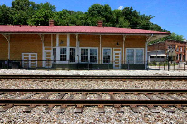
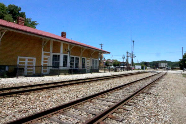
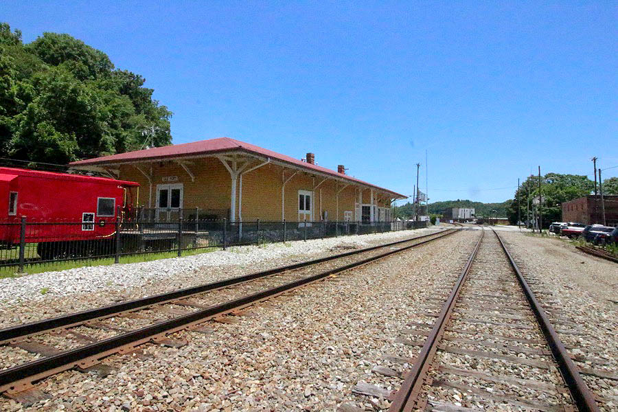
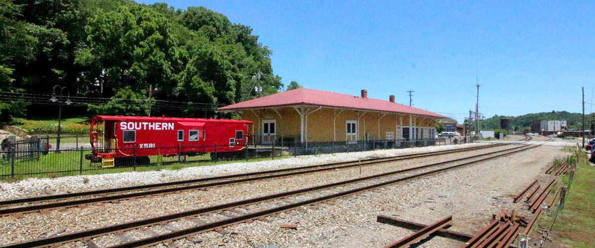
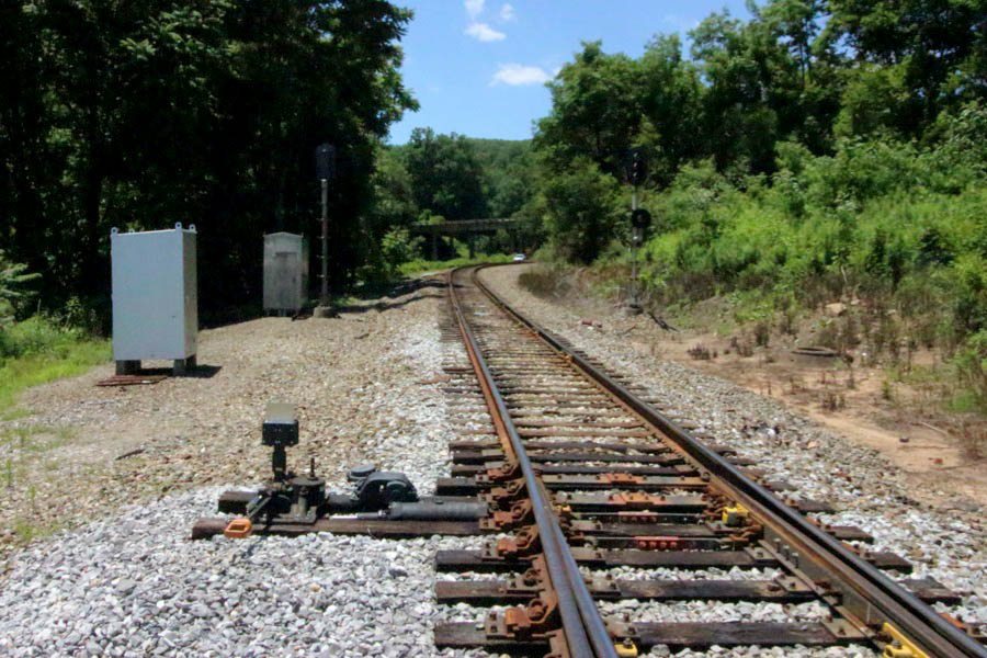
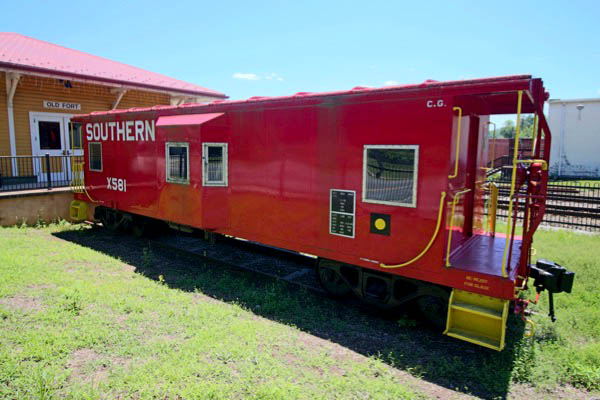
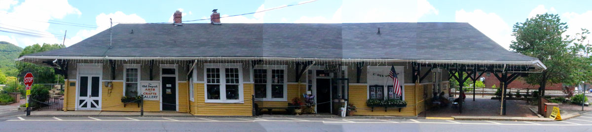
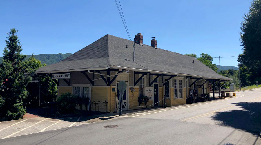
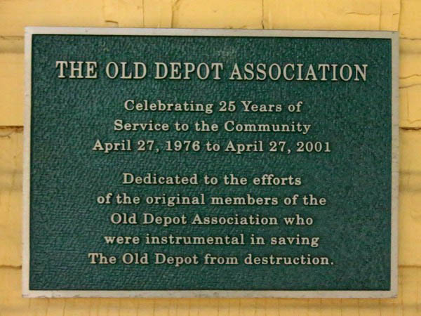
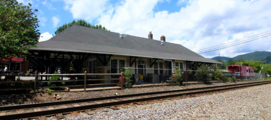
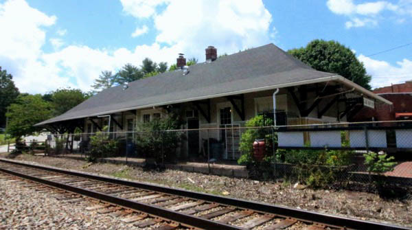
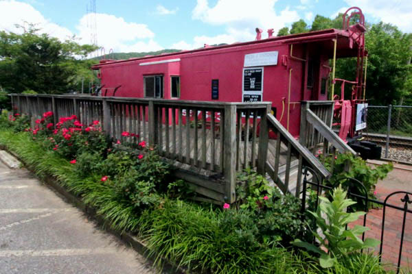
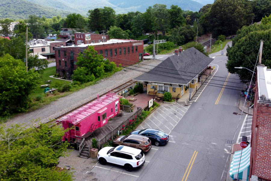
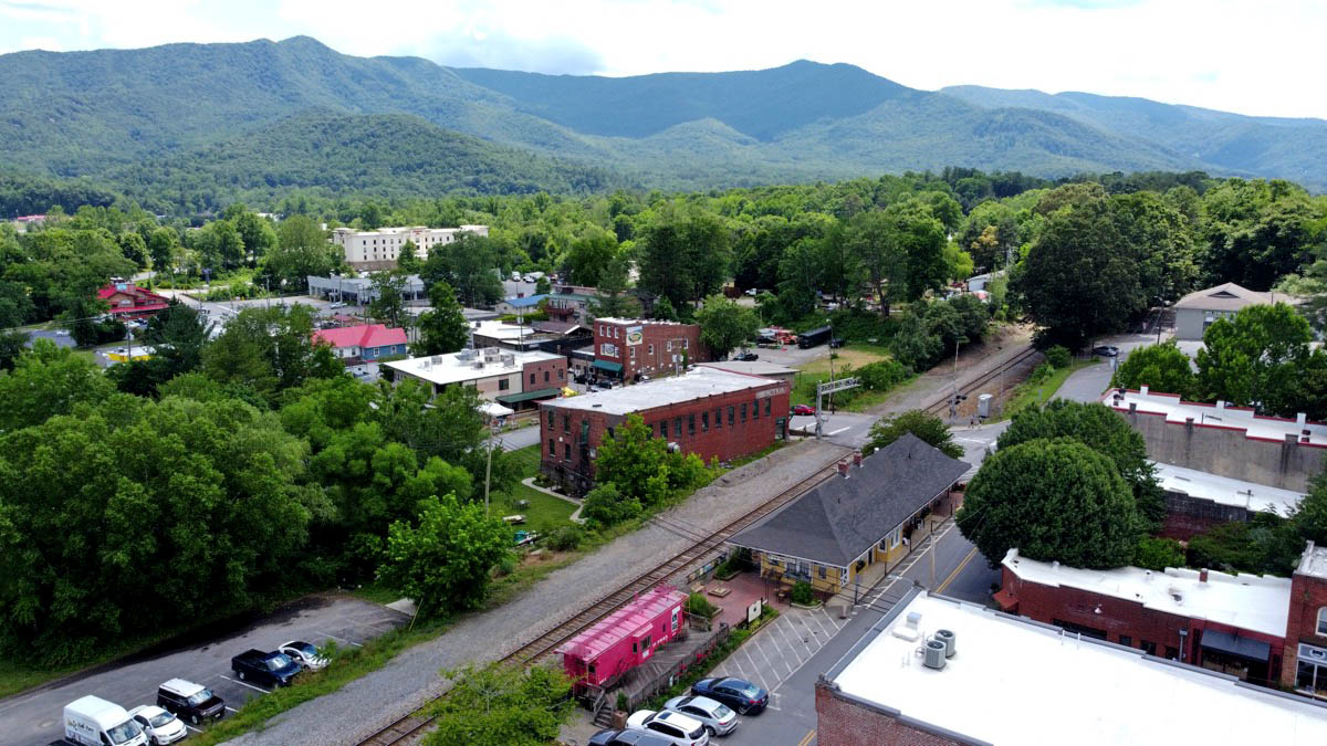
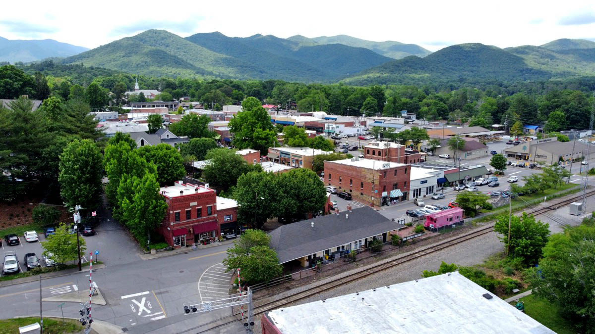
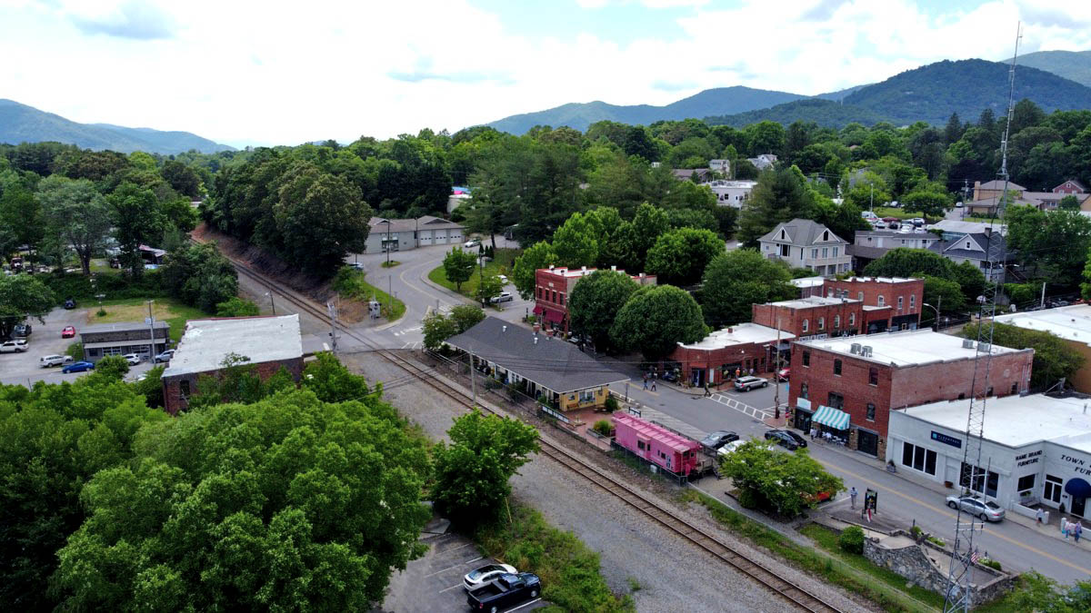
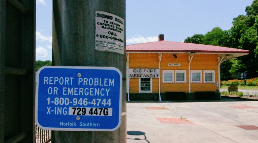
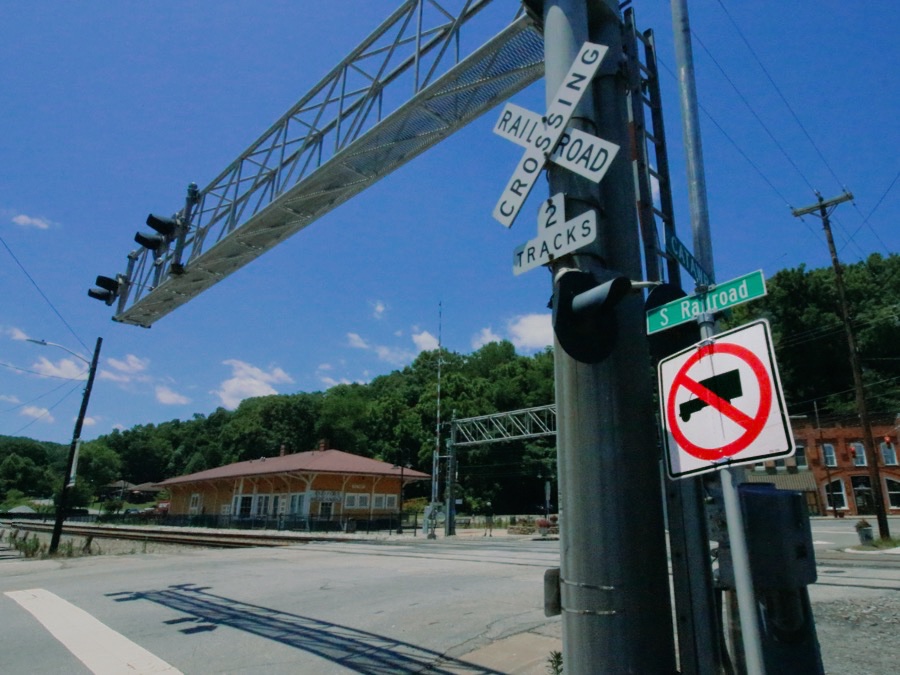
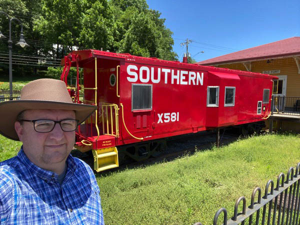
 he Old Fort Train Station is located in the eastern foothills of the Blue Ridge Mountains, in the western North Carolina railroad town of Old Fort. The station site includes the renovated Southern Railway depot on Main Street, the Native American Arrowhead monument, and a restored Southern Railway bay window caboose. Although the depot for a time operated as a railroad museum devoted to the rail history of the region, today the building is managed by the town of Old Fort and only operates as an event venue.
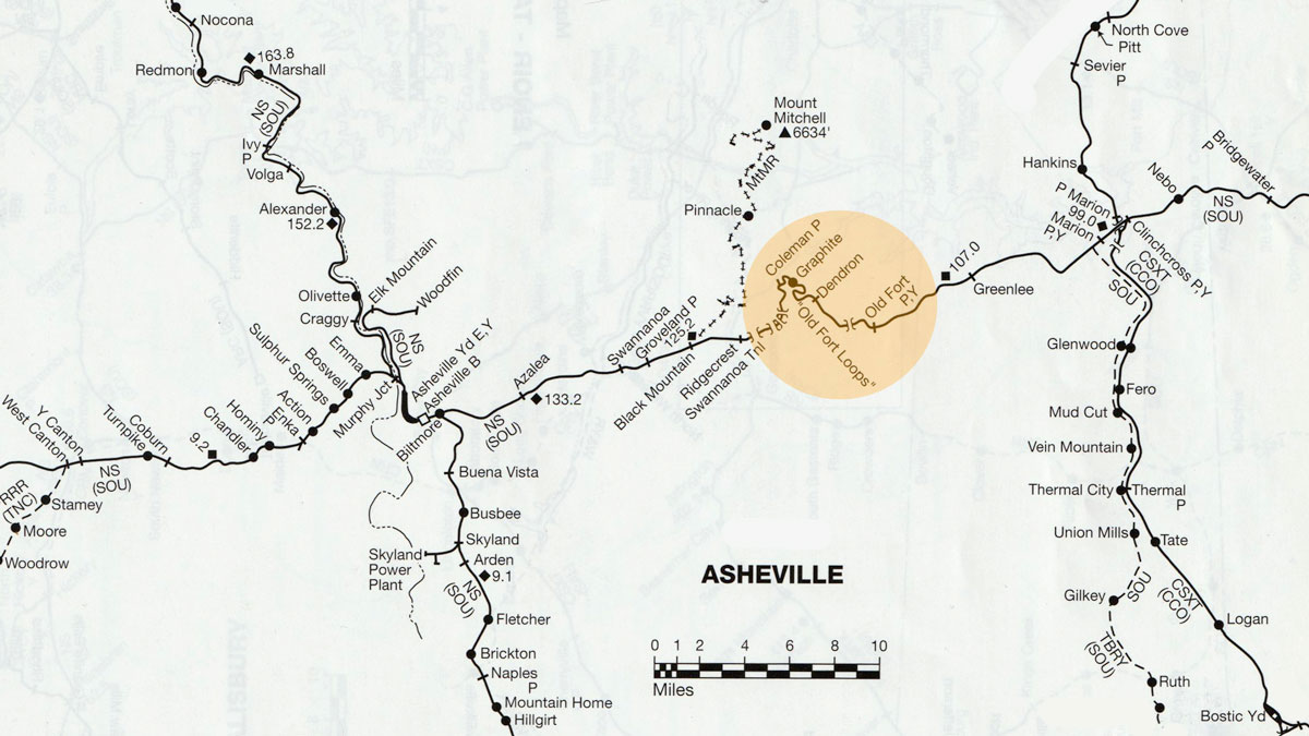
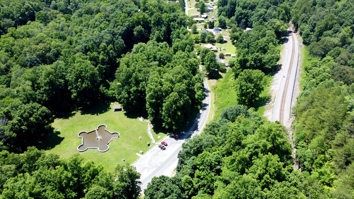
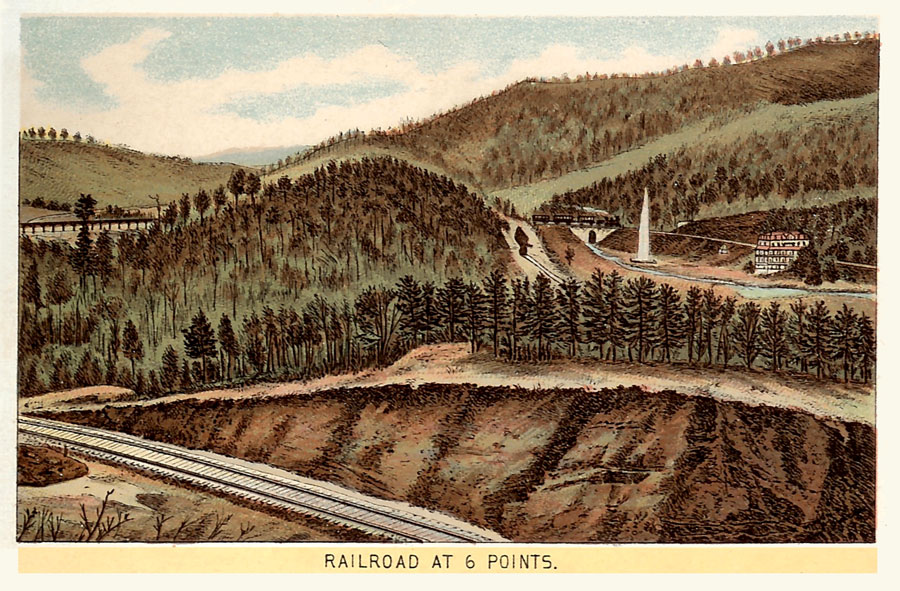
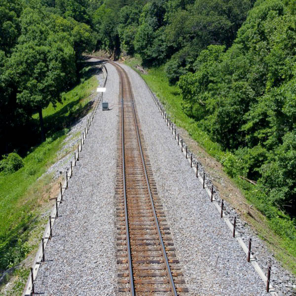
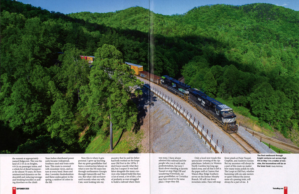
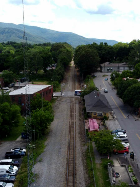
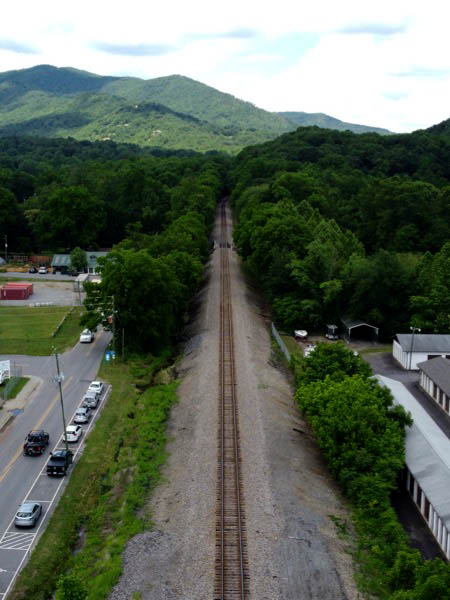
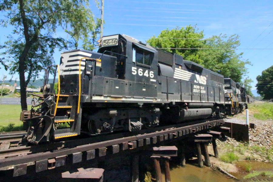
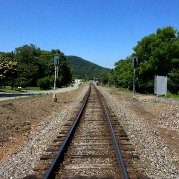
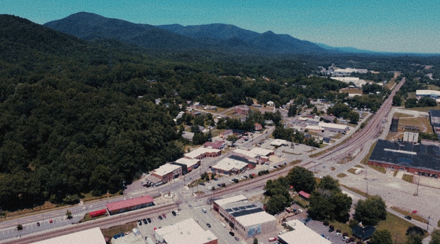
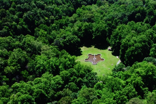
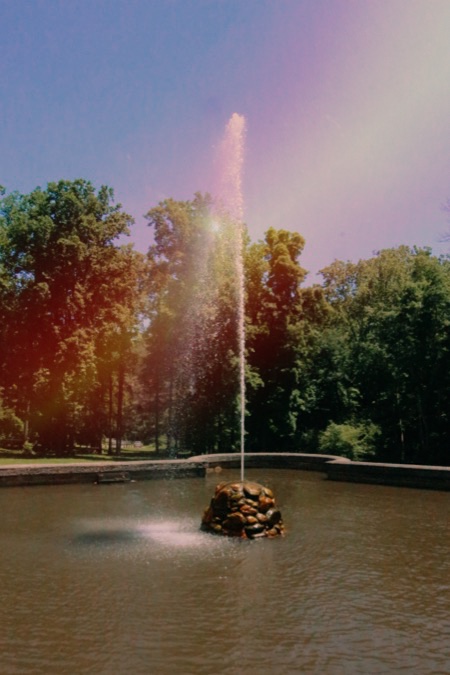
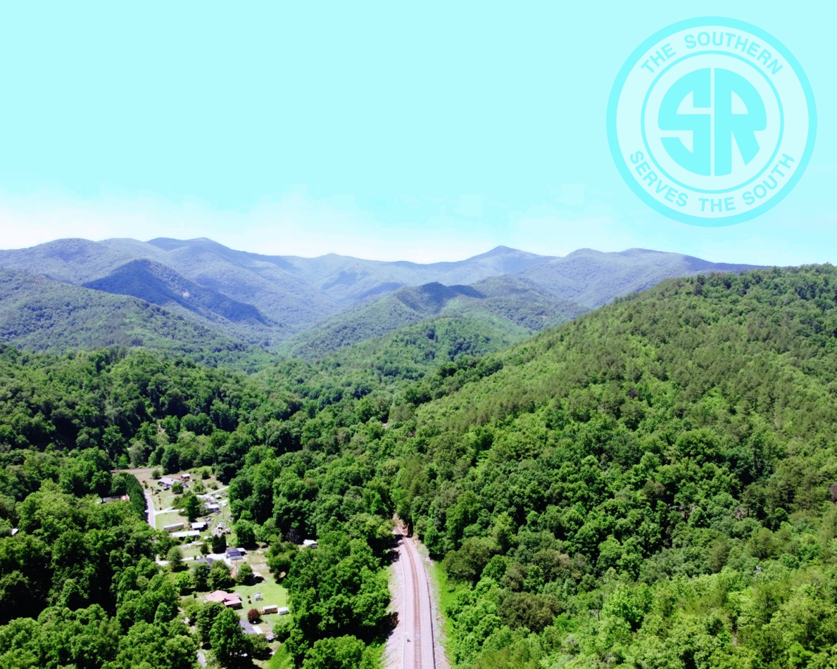
Located halfway between Marion and Asheville, North Carolina, Old Fort remains the start of the westbound mainline grade into the heart of the Blue Ridge Mountains, and likely some of the most beautiful railroad scenery in the state. The nearby Old Fort Loops offer a rare feature for eastern railroading: a mainline that turns back toward itself several times as it climbs the grade across bridges and through tunnels. Within the Loops, the 1879-built Andrews Geyser still shoots water into the air to memorialize Alexander Boyd Andrews, vice-president of the Western North Carolina Railroad — predecesor road in the region to the Southern Railway.
from SPV Comprehensive Railroad Atlas
/ collection
1881 Official Guide ad / collection
Old Fort, NC / Jun 2021 / RWH
1910 Official Guide ad / collection

Old Fort, NC / Jun 2021 / RWH
Old Fort, NC / Jun 2021 / RWH
postcard / collection
 Station
Old Fort, NC / Apr 1999 / JCH
Click to see the Old Fort Train Station plotted on a Google Maps page
Old Fort, NC / Apr 1999 / JCH
Old Fort, NC / Apr 1999 / JCH
Old Fort, NC / Apr 1999 / JCH
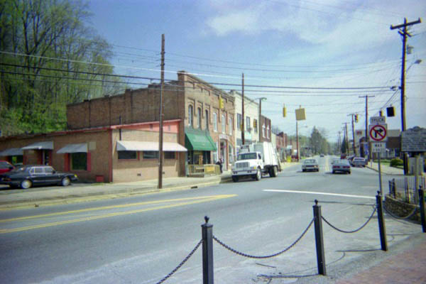
Old Fort, NC / Apr 1999 / JCH
Old Fort, NC / Jun 2021 / RWH
Old Fort, NC / Jun 2021 / RWH
Old Fort, NC / Jun 2021 / RWH
Old Fort, NC / Jun 2021 / RWH
Old Fort, NC / Jun 2021 / RWH
Old Fort, NC / Jun 2021 / RWH
Old Fort, NC / Jun 2021 / RWH
1893 Official Guide ad / collection
Old Fort, NC / Jun 2021 / RWH
Old Fort, NC / Jun 2021 / RWH
Old Fort, NC / Jun 2021 / RWH
Old Fort, NC / Jun 2021 / RWH
Old Fort, NC / Jun 2021 / RWH
Old Fort, NC / Jun 2021 / RWH
Old Fort, NC / Jun 2021 / RWH
Old Fort, NC / Jun 2021 / RWH
Old Fort, NC / Jun 2021 / RWH
Jun 2021 / RWH
Old Fort, NC / Jun 2021 / RWH
Old Fort, NC / Jun 2021 / RWH
Jun 2021 / RWH
Jun 2021 / RWH
Old Fort, NC / Jun 2021 / RWH
Old Fort, NC / Jun 2021 / RWH
Old Fort, NC / Jun 2021 / RWH
Old Fort, NC / Jun 2021 / RWH
Old Fort, NC / Jun 2021 / RWH
Old Fort, NC / Jun 2021 / RWH
Jun 2021 / RWH
Jun 2021 / RWH
Old Fort, NC / Jun 2021 / RWH
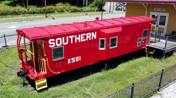
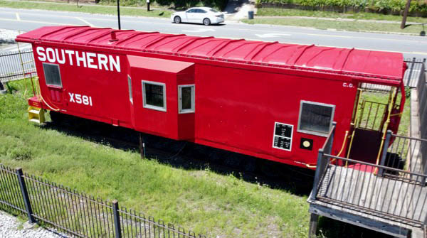
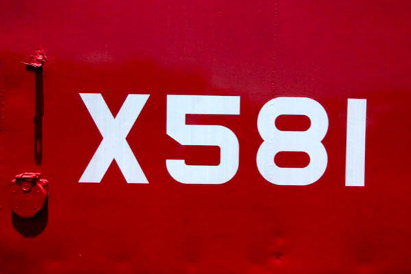
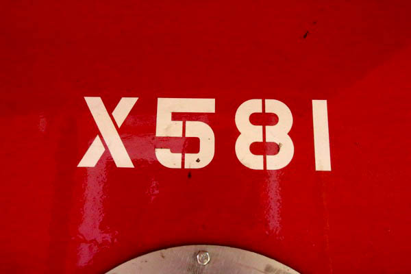
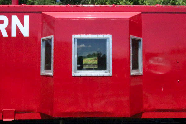
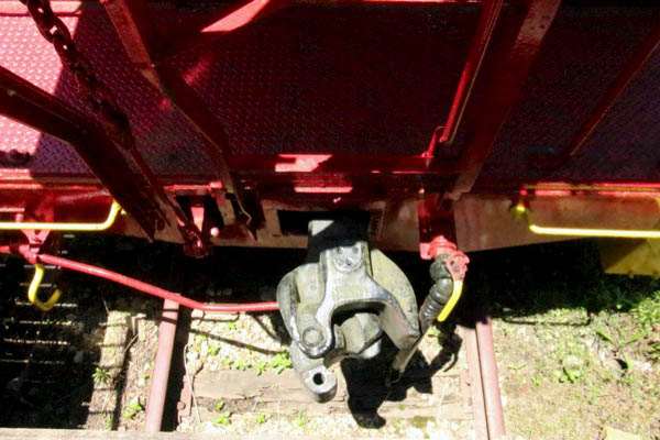
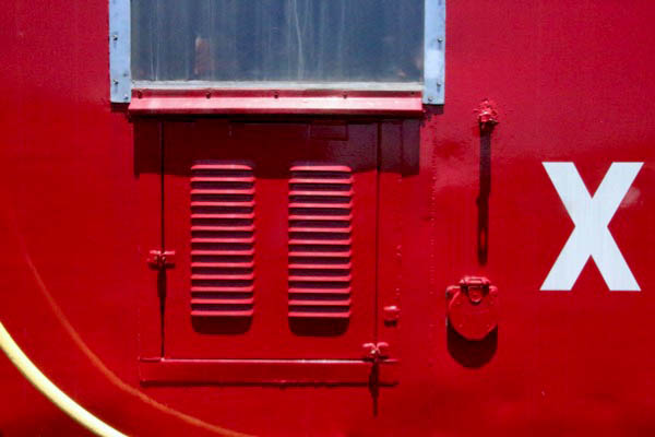
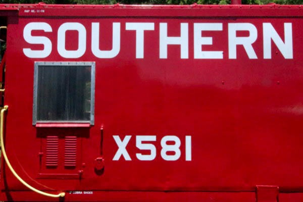
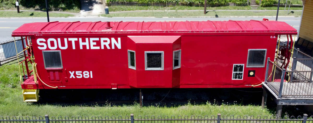
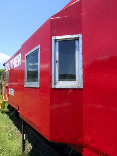
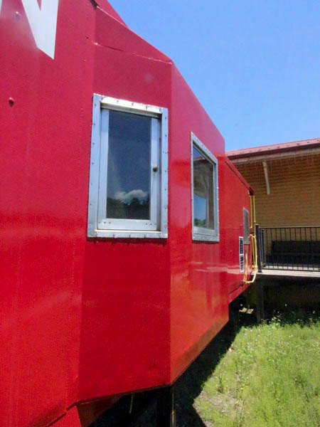
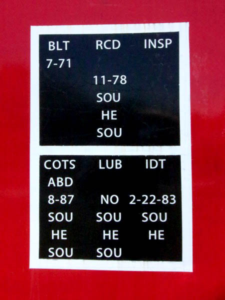
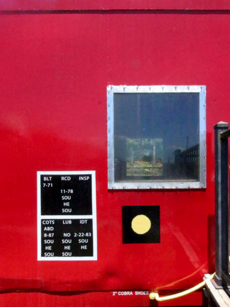
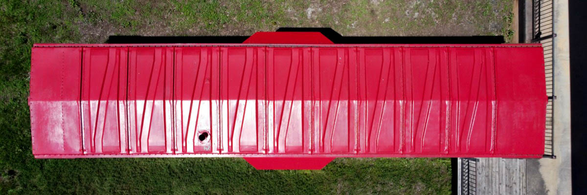
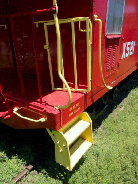
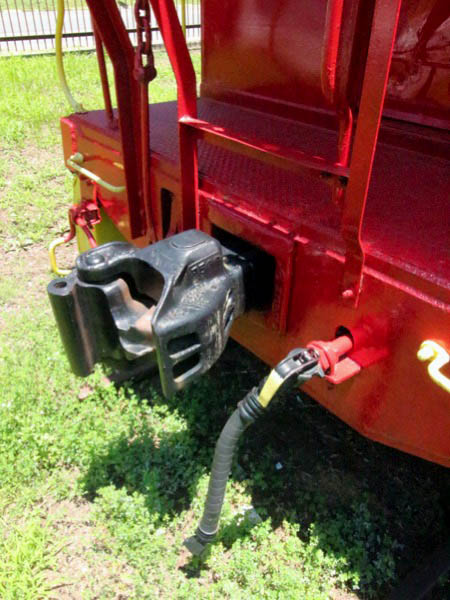
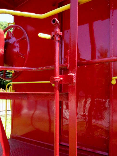
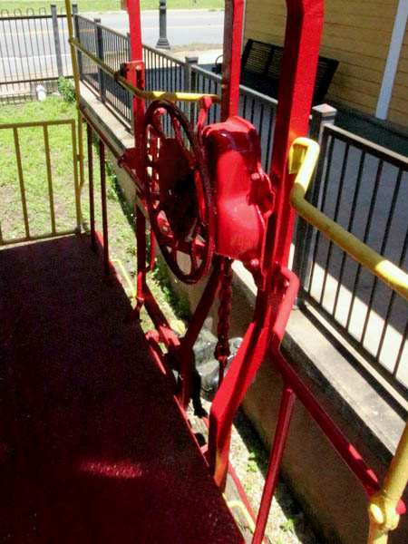
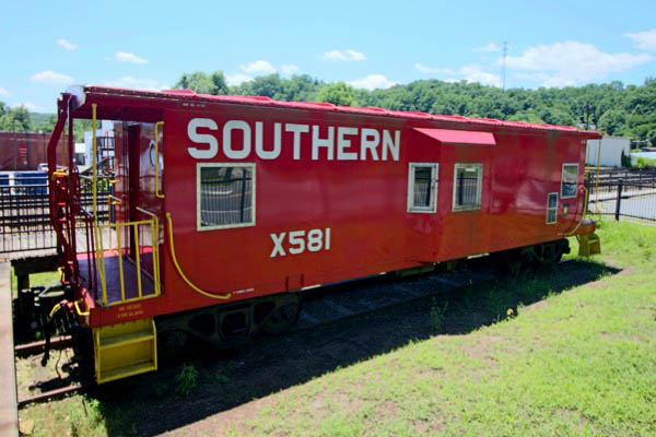
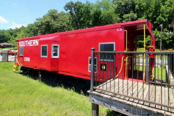
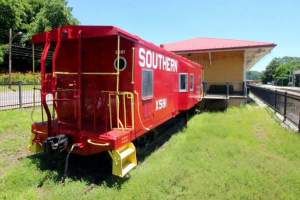
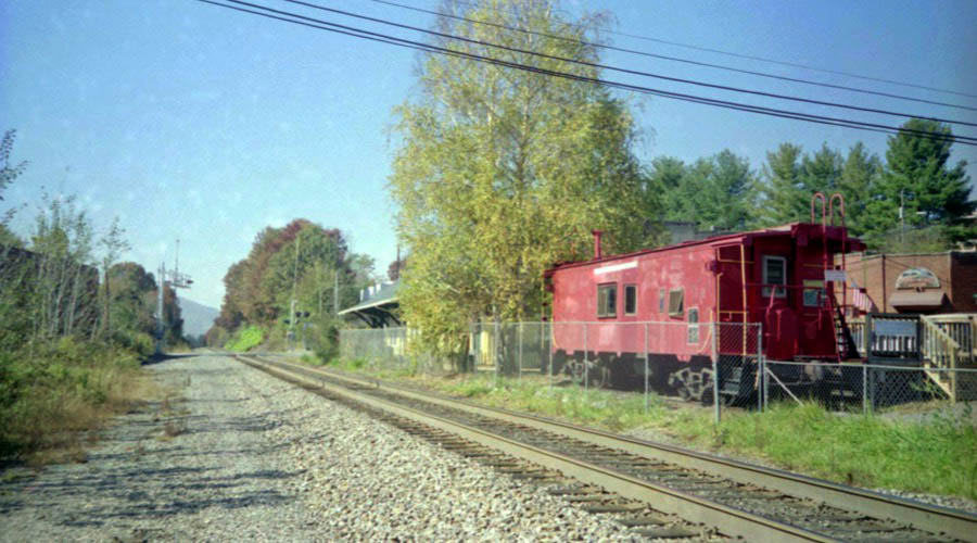
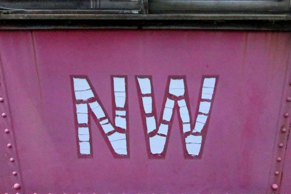
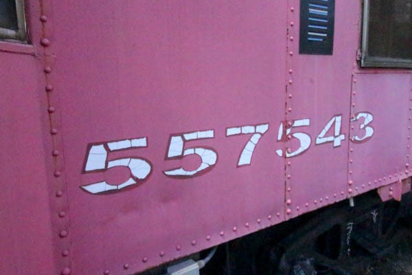
Caboose
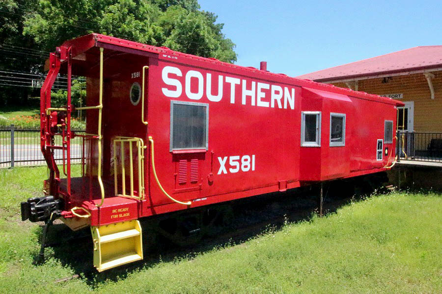
Southern Railway #X581
bay window caboose / Old Fort, NC / Jun 2021 / RWH
Old Fort, NC / Jun 2021 / RWH
Old Fort, NC / Jun 2021 / RWH

Jun 2021 / RWH
Old Fort, NC / Jun 2021 / RWH
Jun 2021 / RWH
Jun 2021 / RWH
Old Fort, NC / Jun 2021 / RWH
Old Fort, NC / Jun 2021 / RWH
Old Fort, NC / Jun 2021 / RWH
Old Fort, NC / Jun 2021 / RWH

See also our complete Southern Bay Window Survivors scrapbook in Mainlines
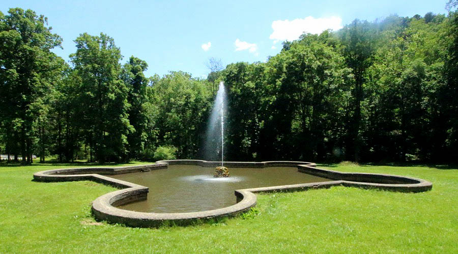
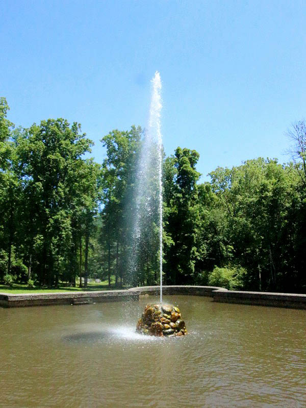
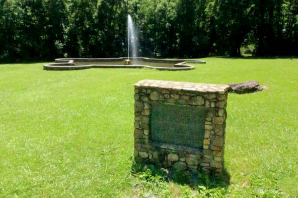
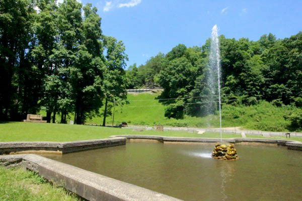
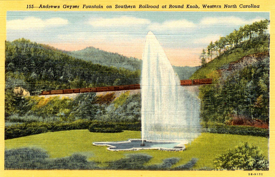
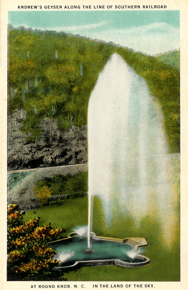
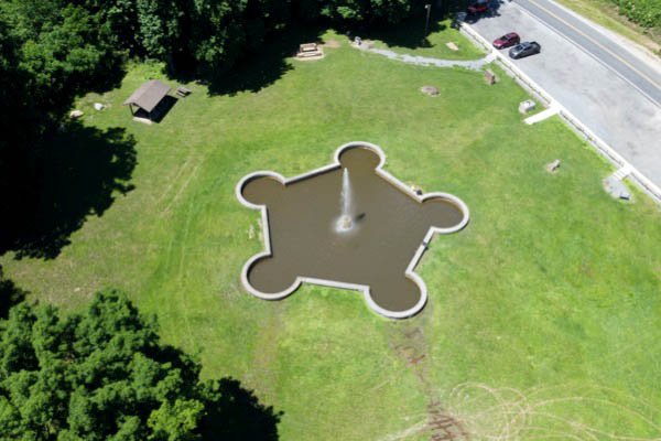
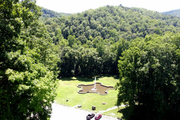
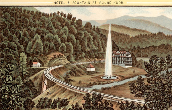
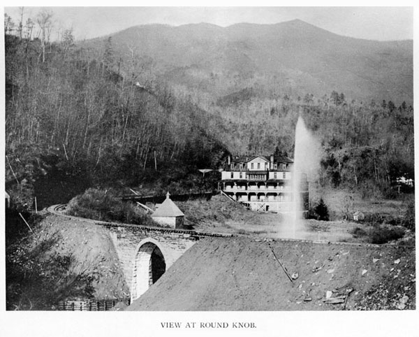
Andrews Geyser
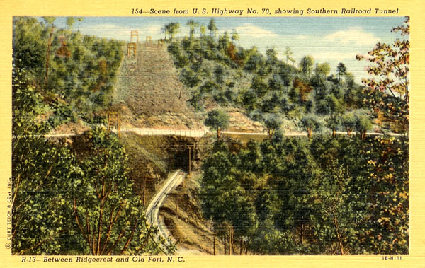
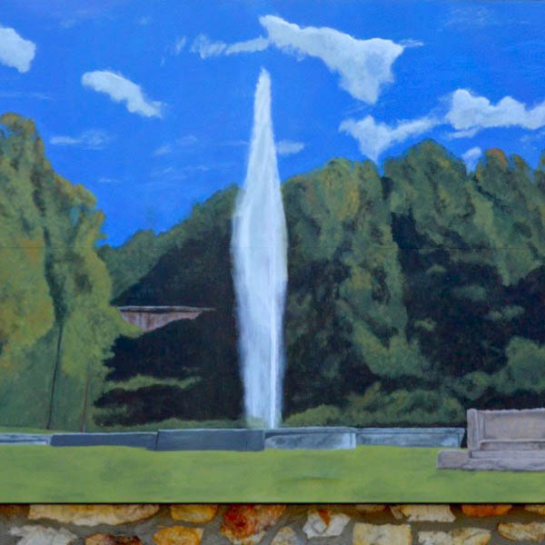 Built-in 1879 as a tourism attraction, Andrews Geyser was an eye-catching site for visitors reaching Old Fort by train during the late 19th century. It was part of the property surrounding the Round Knob Hotel. The geyser was named to honor the president of the Western North Carolina Railroad, Alexander Boyd Andrews, and is situated on the banks of Mill Creek, a designated trout stream between the upper railroad bridge and the U.S. Highway 70 bridge. One of two N.C. Civil War Trail Markers is located here noting one of the last skirmishes of the Civil War in April of 1865.
1881 Official Guide ad / collection
Old Fort, NC / Jun 2021 / RWH
Click to see the Andrews Geyser park plotted on a Google Maps page
Old Fort, NC / Jun 2021 / RWH
Old Fort, NC / Jun 2021 / RWH
Old Fort, NC / Jun 2021 / RWH
postcard / collection
postcard / collection
Old Fort, NC / Jun 2021 / RWH
Old Fort, NC / Jun 2021 / RWH
postcard / collection
web
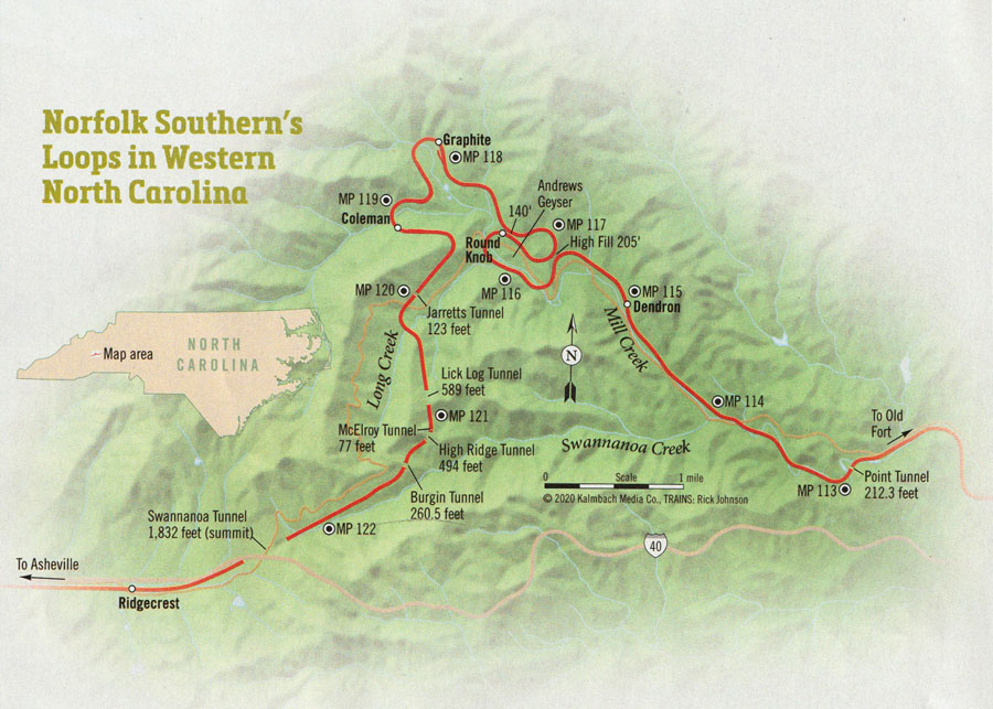
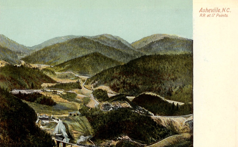
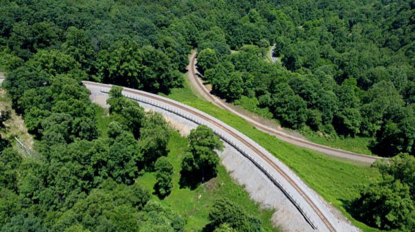
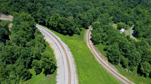
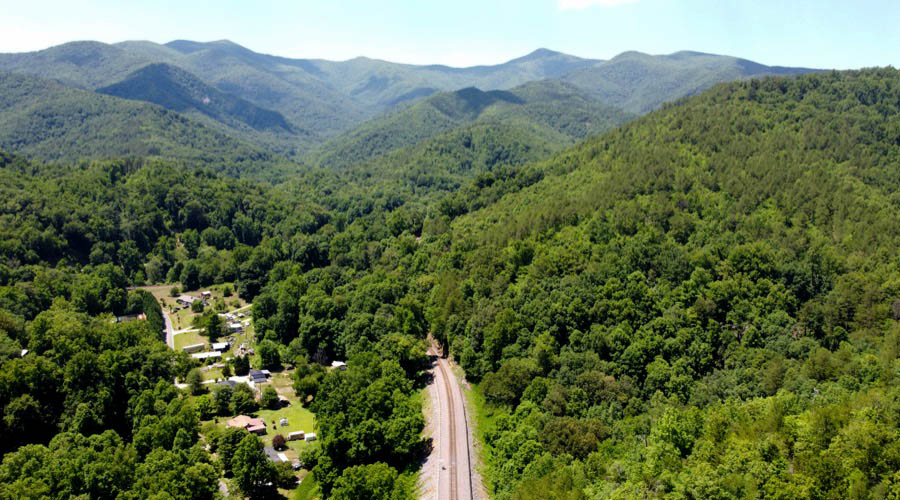
 Old Fort Loops
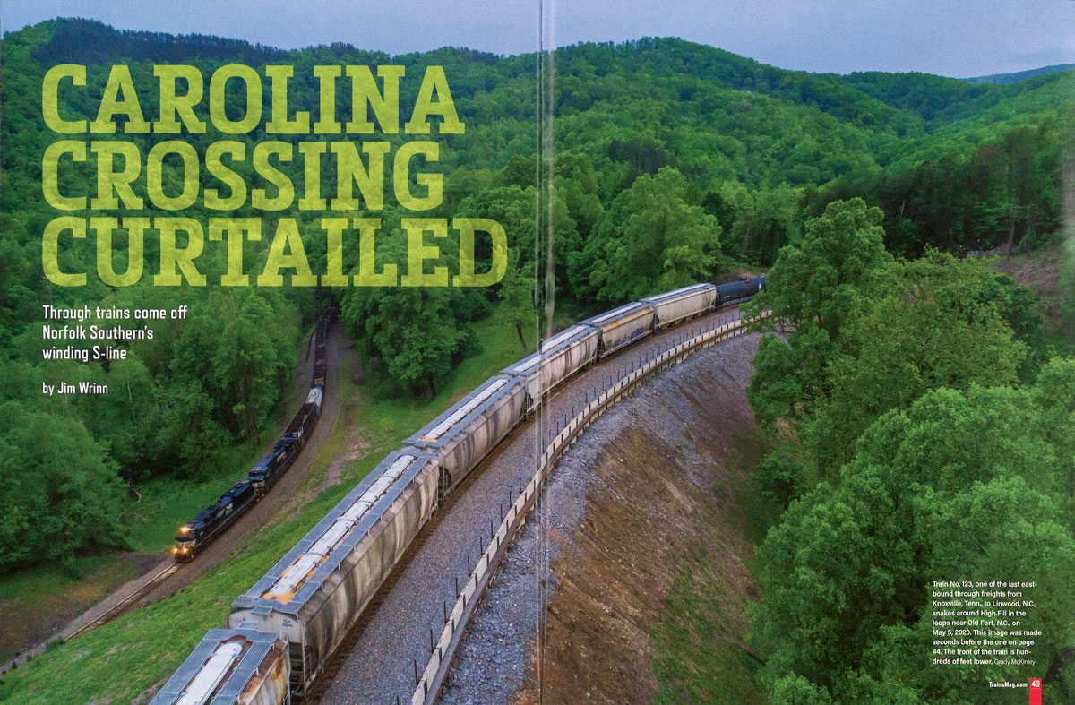
from TRAINS Magazine
- Sep 2020 / collection

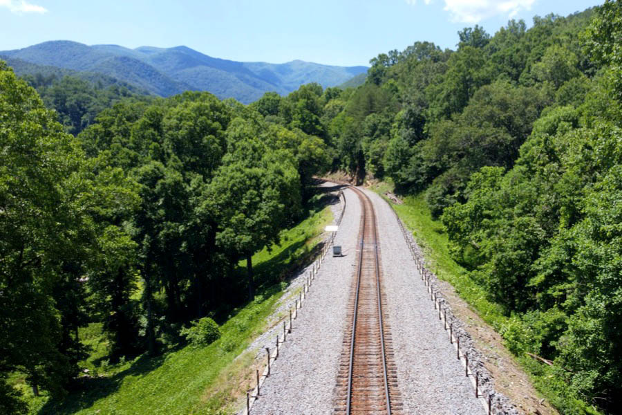
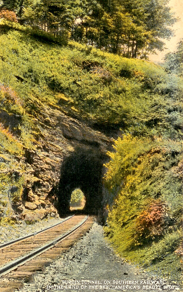
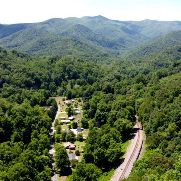
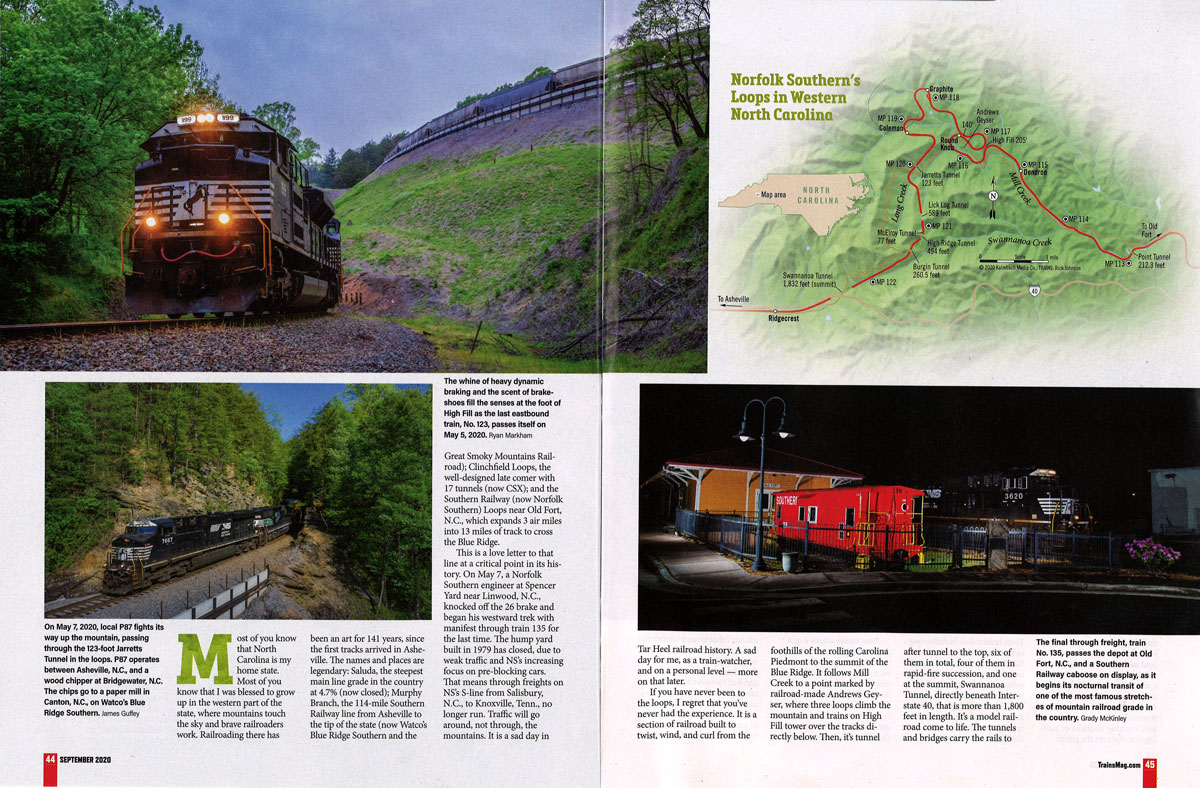
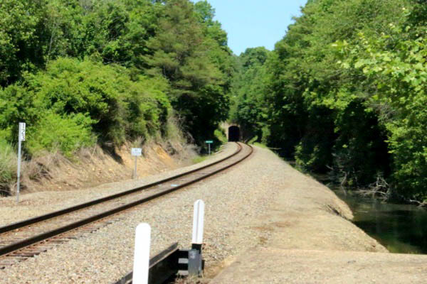
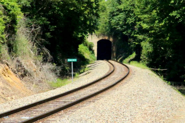
 If you have never been to the Loops, I regret that you've never had the experience. It is a section of railroad built to twist, wind, and curl from the foothills of the rolling Carolina Piedmont to the summit of the Blue Ridge. It follows Mill Creek to a point marked by railroad-made Andrews Geyser, where three loops clime the mountain and trains on High Fill tower over the tracks directly below. Then, it's tunnel after tunnel to the top, six of them in total, four of them in rapid-fire succession, and one at the summit, Swannanoa Tunnel, directly beneath Interstate 40, that is more than 1,800 feet in length. It's a model railroad come to life. The tunnels and bridges carry the rails to the summit at appropriately named Ridgecrest. This was the land of 2-10-2s on freights, 4-8-2s on passenger trains, and whole lot of diesel horsepower for almost 70 years. It's been retainers and dynamics on the downhill and reducing tonnage and breaking knuckles or pulling drawbars on the climb. Years before distributed power units became widespreadm Southern used mid-train units here. This route is crowned with mountain views, and nature at every bend. Bears and deer. Lavender rhododendron and flame azalea galore in the spring, a rainbow of colors in the fall.
Jim Wrinn — "Carolina Crossing Curtailed" — TRAINS Magazine — Sep 2020
Old Fort, NC / Jun 2021 / RWH
postcard / collection
Graphite, NC / Jun 2021 / RWH
postcard / collection
Graphite, NC / Jun 2021 / RWH
Graphite, NC / Jun 2021 / RWH
Graphite, NC / Jun 2021 / RWH
postcard / collection
Graphite, NC / Jun 2021 / RWH
Graphite, NC / Jun 2021 / RWH
Graphite, NC / Jun 2021 / RWH
postcard / collection
postcard / collection
postcard / collection

from TRAINS Magazine
- Sep 2020 / collection
 Route 70 scouting
postcard / collection
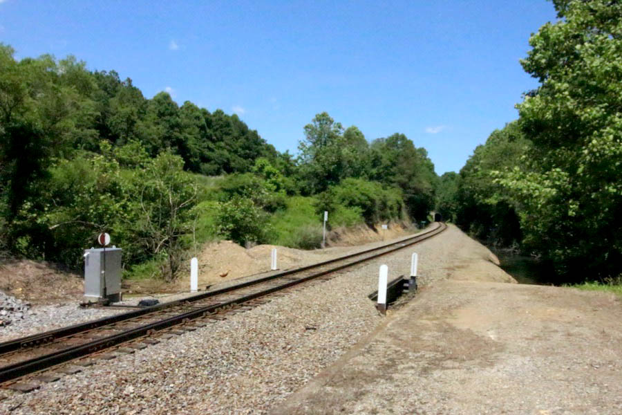
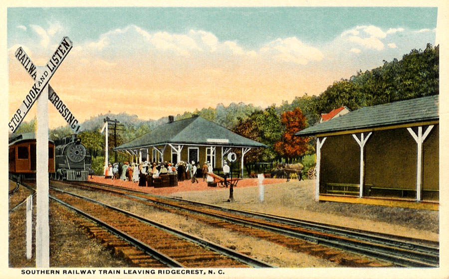
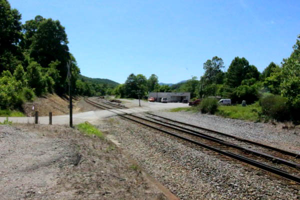
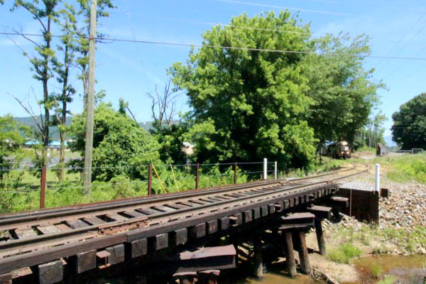
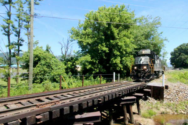
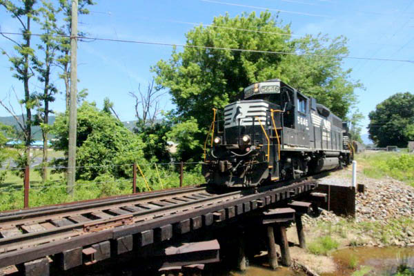
Moving westbound through the Old Fort Loops, trains crest the grade at Ridgecrest, North Carolina. From Ridgecrest west, US Highway 70 parallels the mainline through a series of railroad towns on its way to Asheville. As of 2021, Norfolk Southern through-freights no longer operate this line; locals, however, still provide switching service to what online customers remain on this segment of the S-Line. WATCO shortline Blue Ridge Southern provides freight service west and south of Asheville.
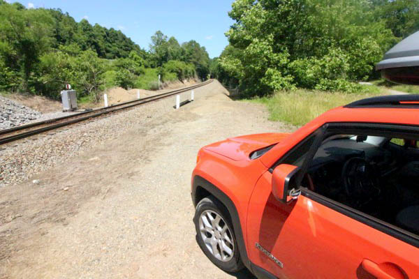
Ridgecrest
Ridgecrest, NC / Jun 2021 / RWH
Ridgecrest, NC / Jun 2021 / RWH
Ridgecrest, NC / Jun 2021 / RWH
Click to see this location in Ridgecrest plotted on a Google Maps page
postcard / collection
Ridgecrest, NC / Jun 2021 / RWH
Ridgecrest, NC / Jun 2021 / RWH
Ridgecrest, NC / Jun 2021 / RWH
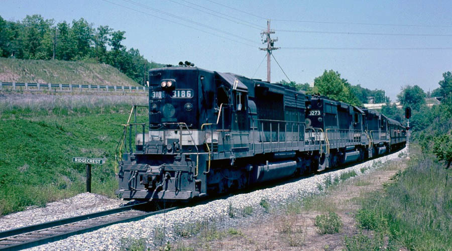
Ridgecrest, NC / May 1981 / Jim Owens 
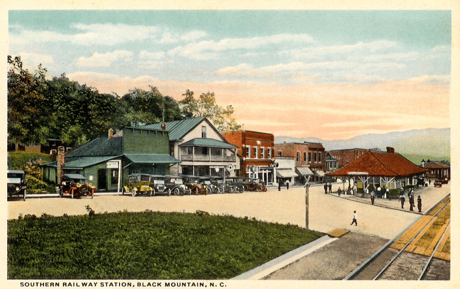
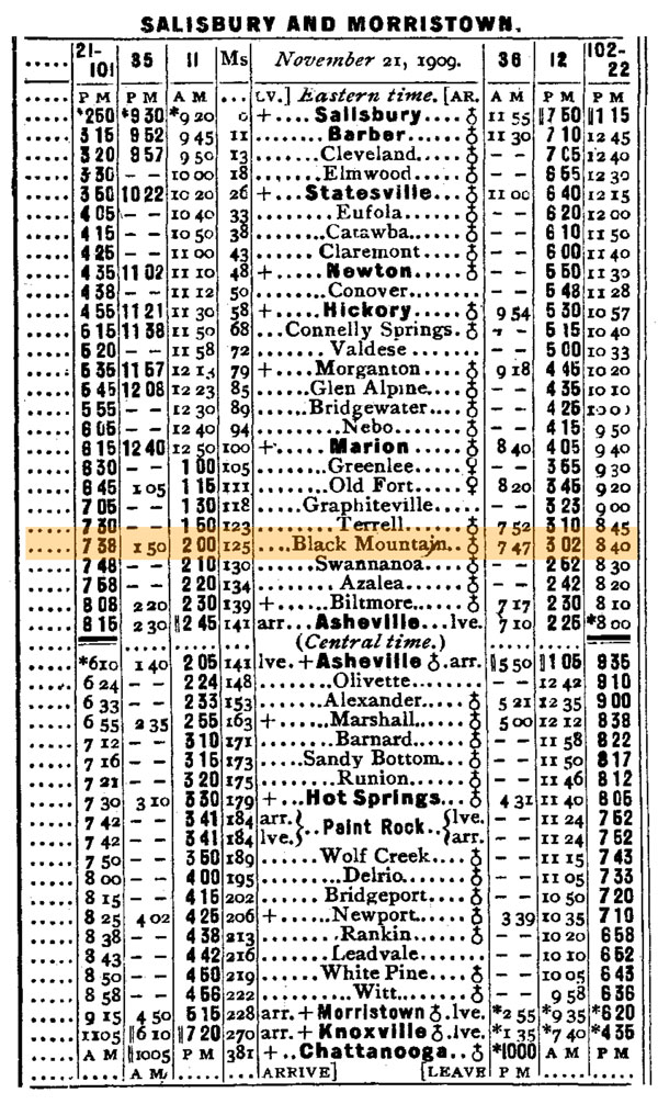
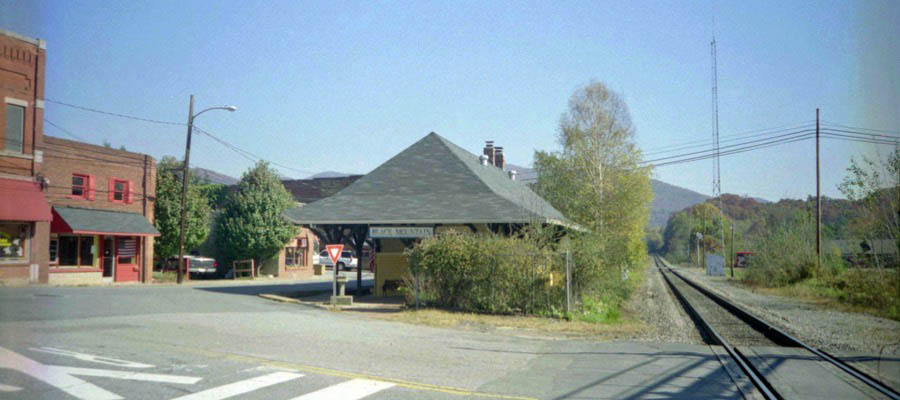
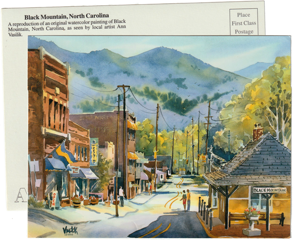
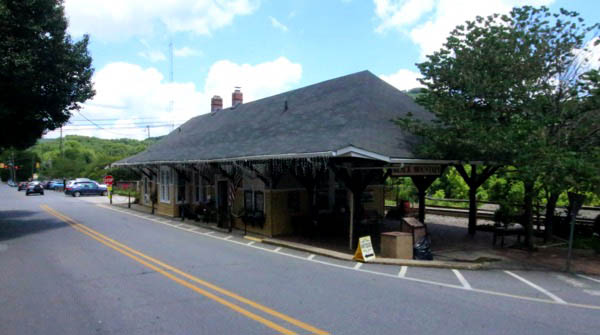
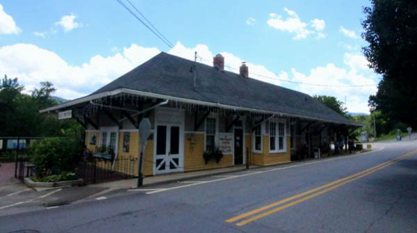
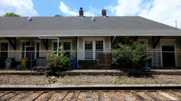
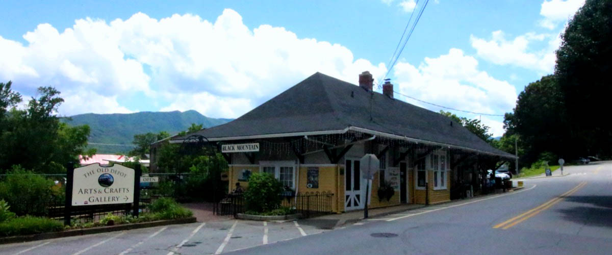
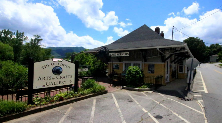
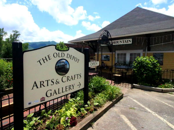
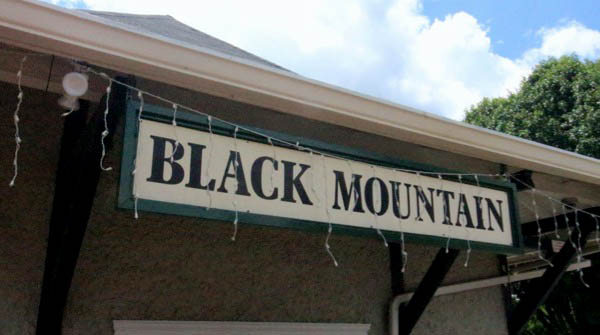
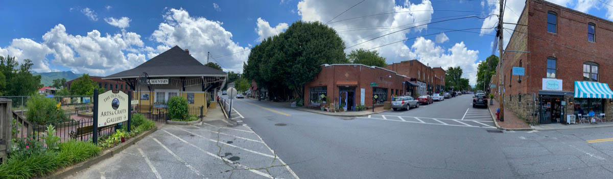
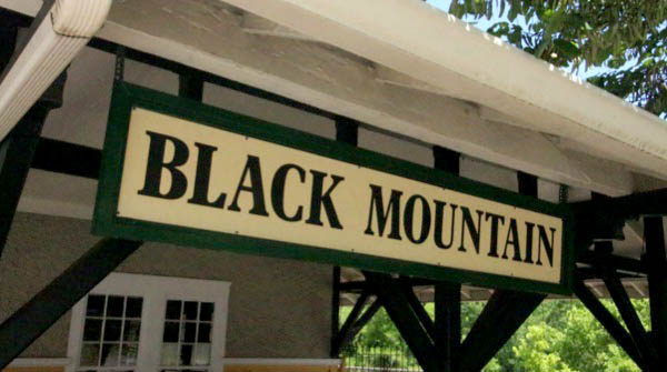
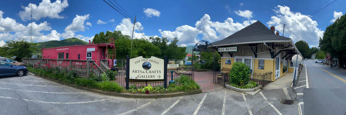
Black Mountain
postcard / collection
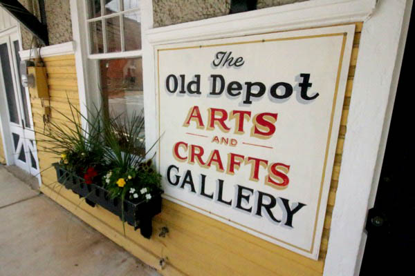
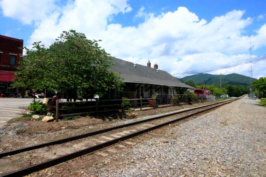
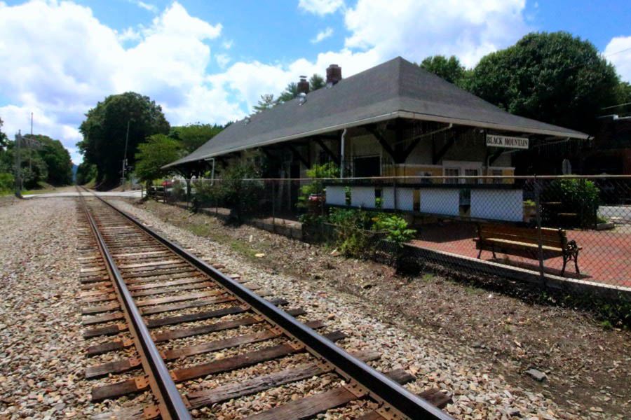
 Black Mountain, located 15 miles from Asheville on the eastern edge of Buncombe County, is a quintessential small town, complete with a charming and walkable downtown, a thriving arts and crafts scene, and—at 2,405 feet in elevation—access to incredible outdoor adventure.
Named for a mountain range that towers over the town, Black Mountain became a haven for pioneers in the world of art, painting, music, poetry, and architectural design during the mid-twentieth century. The town was once home to Black Mountain College, one of the most highly-respected and innovative experimental art colleges in the U.S. Today it remains an artist mecca with multiple galleries showcasing some of the region’s best southern Appalachian arts and crafts.
Black Mountain, located 15 miles from Asheville on the eastern edge of Buncombe County, is a quintessential small town, complete with a charming and walkable downtown, a thriving arts and crafts scene, and—at 2,405 feet in elevation—access to incredible outdoor adventure.
Named for a mountain range that towers over the town, Black Mountain became a haven for pioneers in the world of art, painting, music, poetry, and architectural design during the mid-twentieth century. The town was once home to Black Mountain College, one of the most highly-respected and innovative experimental art colleges in the U.S. Today it remains an artist mecca with multiple galleries showcasing some of the region’s best southern Appalachian arts and crafts.
Black Mountain, NC / Apr 1999 / JCH
1910 Official Guide ad / collection
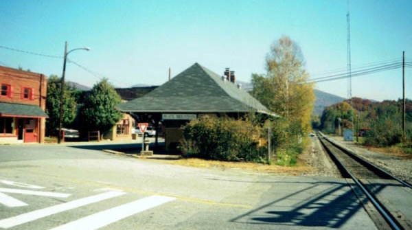
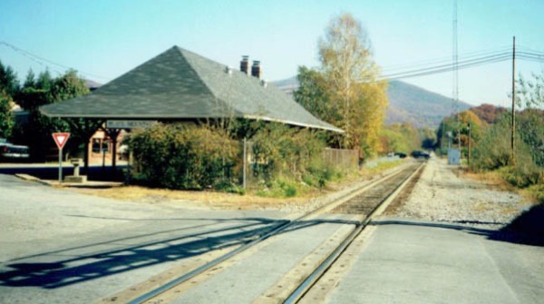
Black Mountain, NC / Nov 2001 / JCH
Click to see the Black Mountain depot area plotted on a Google Maps page
Black Mountain, NC / Nov 2001 / JCH
Black Mountain, NC / Nov 2001 / JCH
Black Mountain, NC / Nov 2001 / JCH
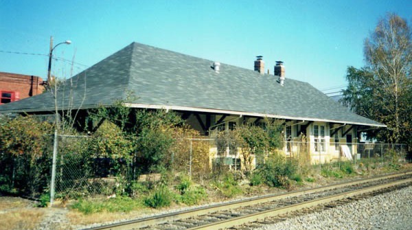
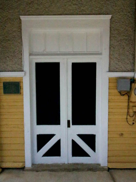
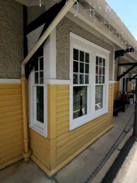
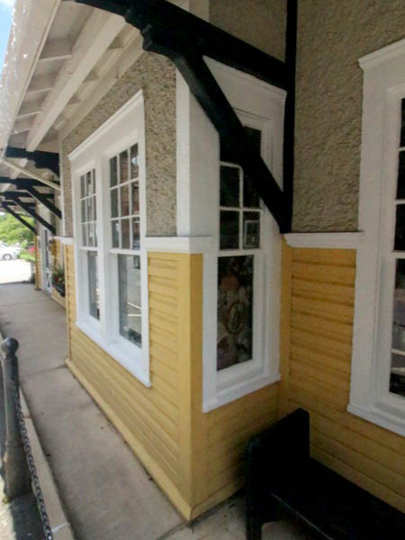
Black Mountain, NC / Jun 2021 / RWH
Black Mountain, NC / Jun 2019 / RWH
Jun 2019 / RWH
postcard / collection
Jun 2021 / RWH
Black Mountain, NC / Jun 2021 / RWH
Black Mountain, NC / Jun 2021 / RWH
Black Mountain, NC / Jun 2021 / RWH
Black Mountain, NC / Jun 2021 / RWH
Jun 2021 / RWH
Black Mountain, NC / Jun 2021 / RWH

Jun 2021 / RWH
Black Mountain, NC / Jun 2021 / RWH
Jun 2021 / RWH
Jun 2021 / RWH
Black Mountain, NC / Jun 2021 / RWH
Jun 2021 / RWH
Jun 2021 / RWH
Black Mountain, NC / Jun 2021 / RWH
Jun 2021 / RWH
Jun 2021 / RWH
Black Mountain, NC / Jun 2021 / RWH
Black Mountain, NC / Jun 2021 / RWH
Black Mountain, NC / May 1981 / Jim Owens
Black Mountain, NC / Jun 2021 / RWH
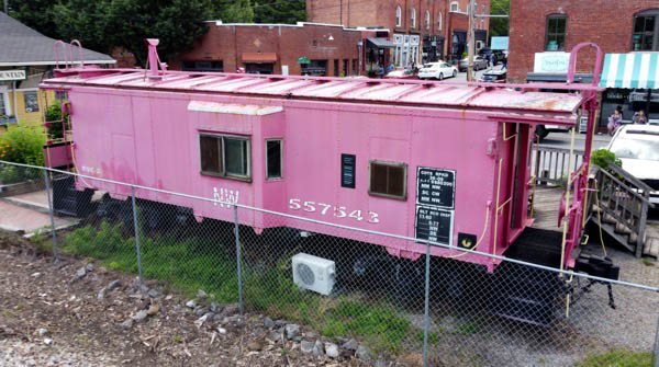
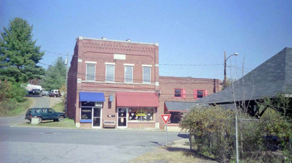
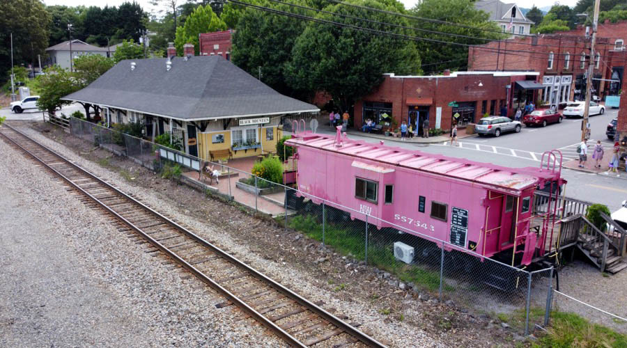
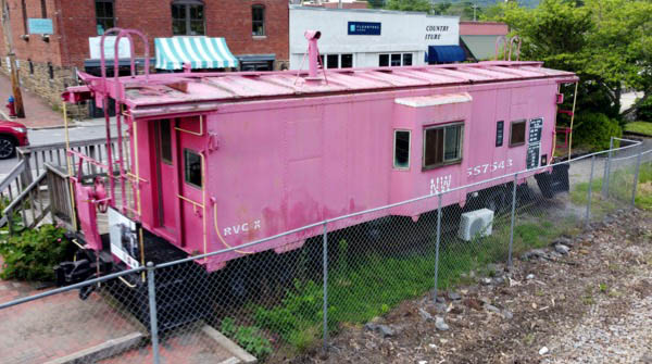
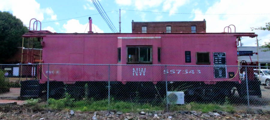
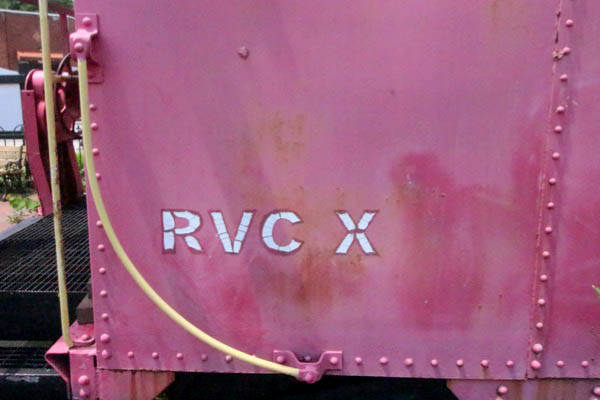
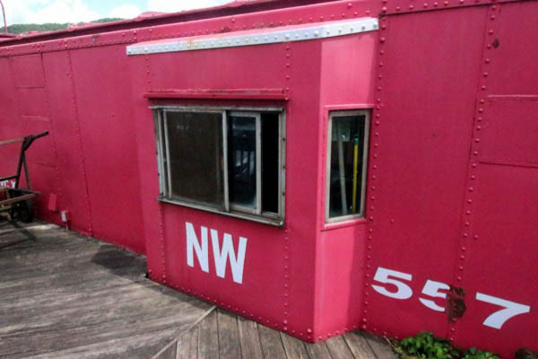
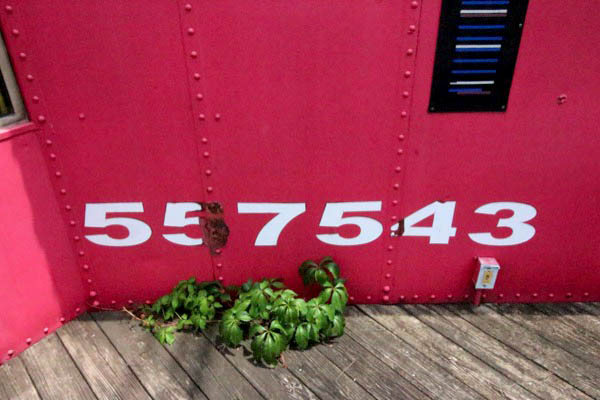
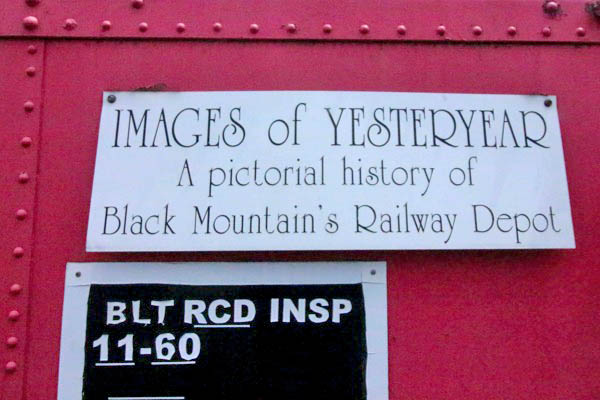
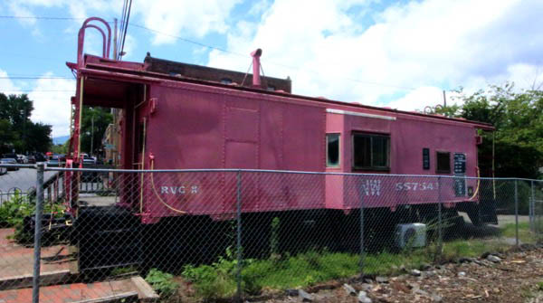
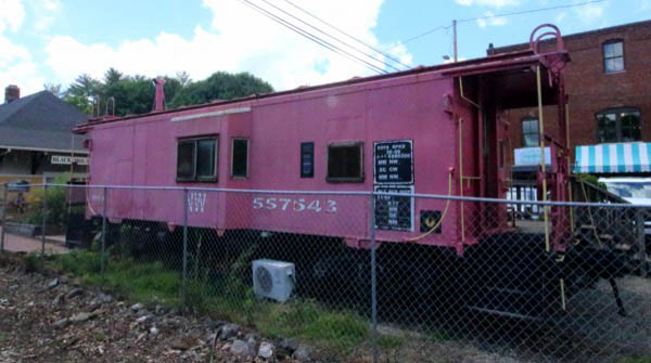
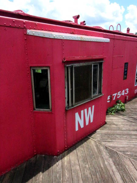
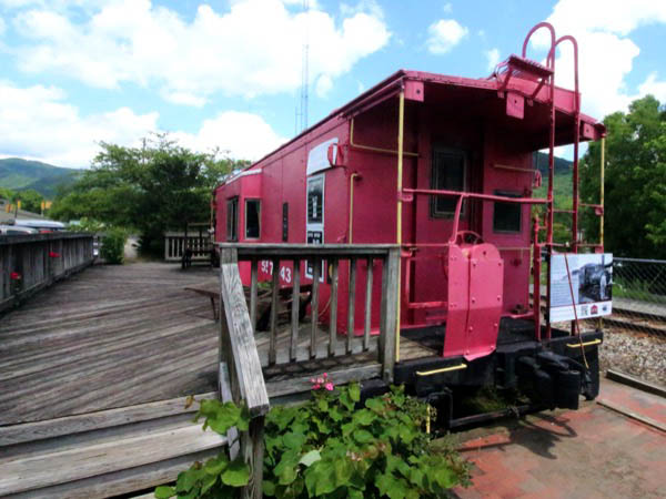
Norfolk & Western #557543
bay window caboose / Black Mountain, NC / Jun 2021 / RWH
Black Mountain, NC / Jun 2021 / RWH
Black Mountain, NC / Jun 2021 / RWH


Jun 2021 / RWH
Black Mountain, NC / Jun 2021 / RWH
Black Mountain, NC / Jun 2021 / RWH
Jun 2021 / RWH
Black Mountain, NC / Jun 2021 / RWH
Black Mountain, NC / Jun 2021 / RWH
Black Mountain, NC / Jun 2021 / RWH

collection
Black Mountain, NC / Jun 2021 / RWH
Black Mountain, NC / Jun 2021 / RWH
Black Mountain, NC / Jun 2021 / RWH
Black Mountain, NC / Jun 2021 / RWH
Black Mountain, NC / Jun 2021 / RWH
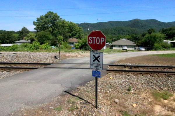
Grovestone
Grovestone, NC / May 1981 / Jim Owens
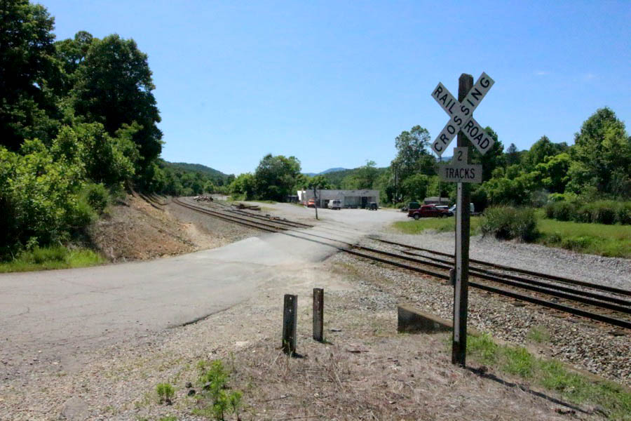
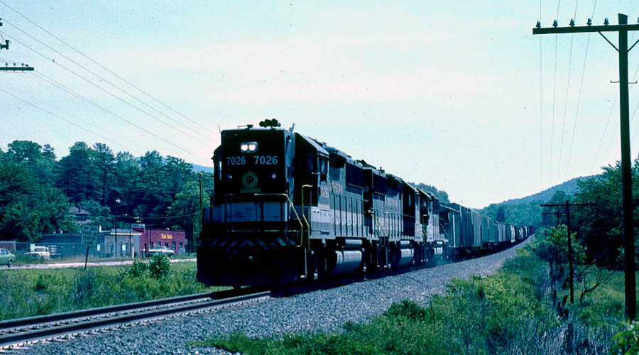
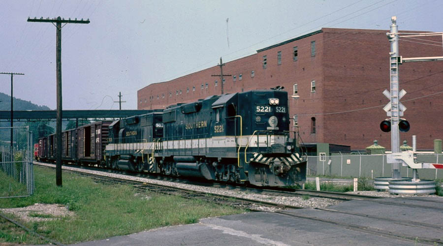
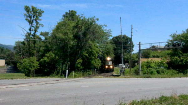
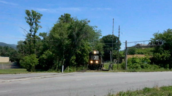
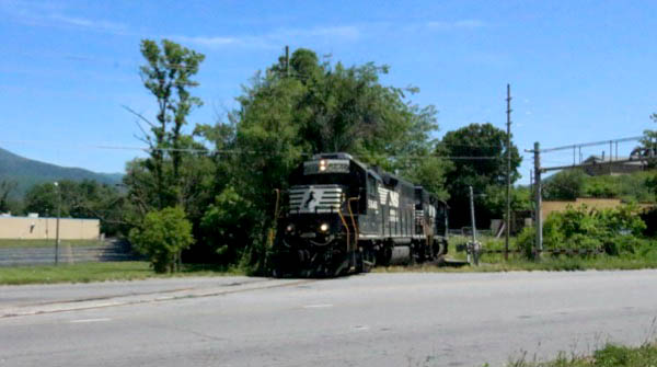
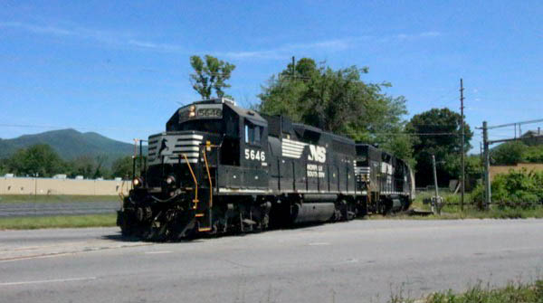
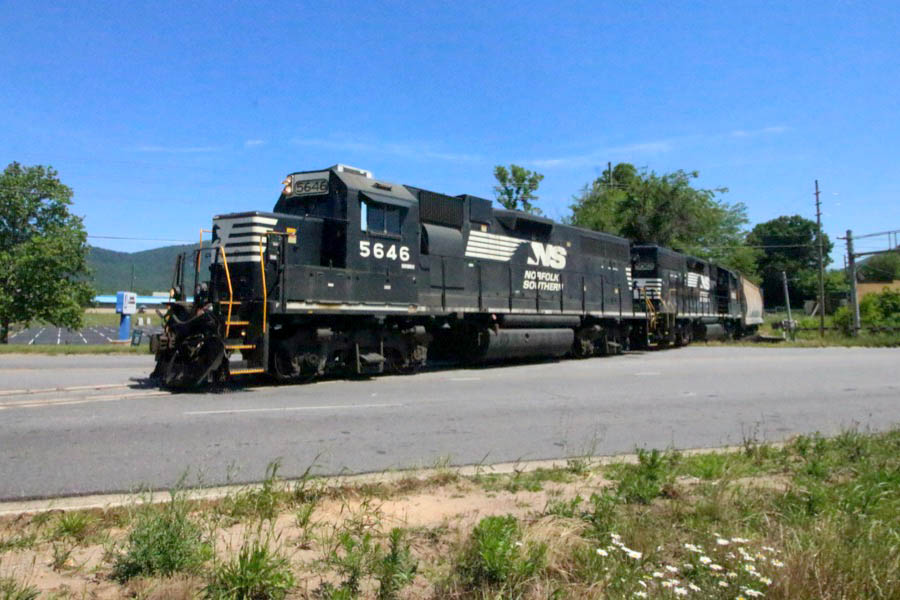
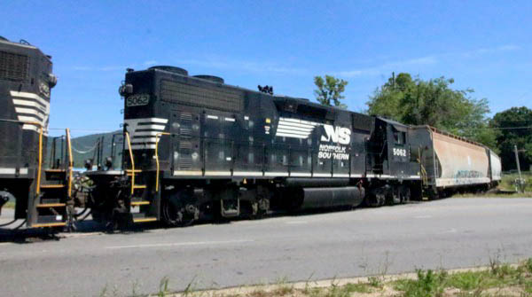
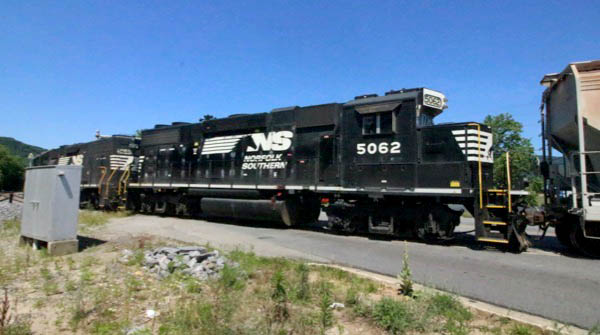
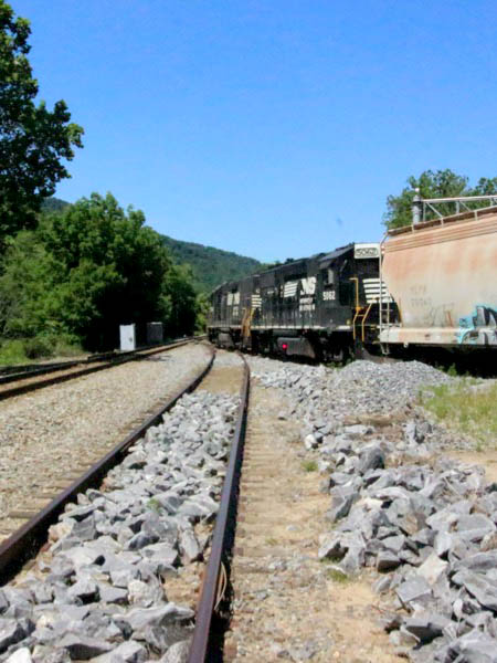
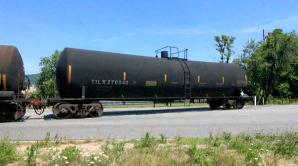
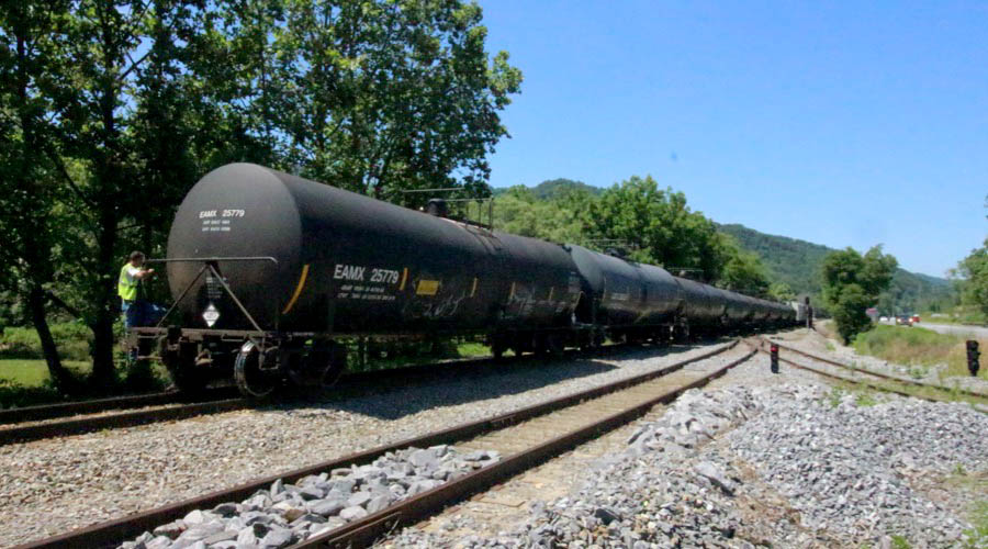
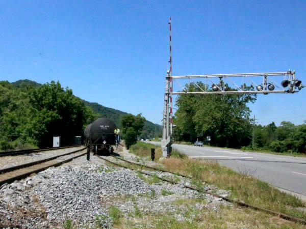
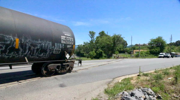
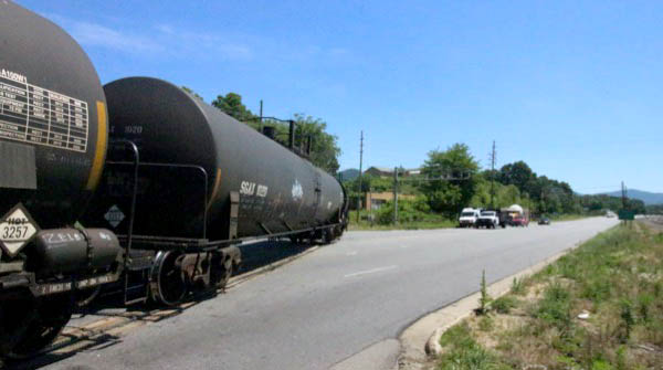
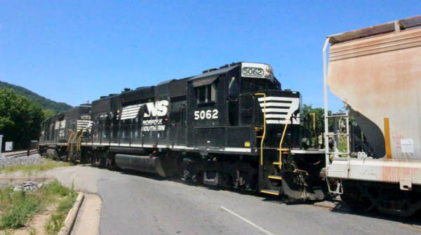
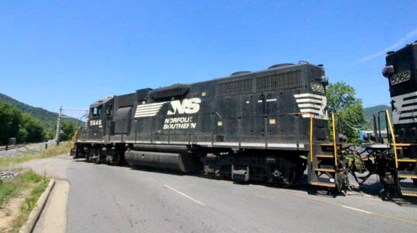
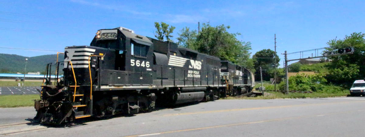
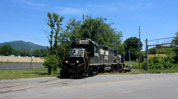
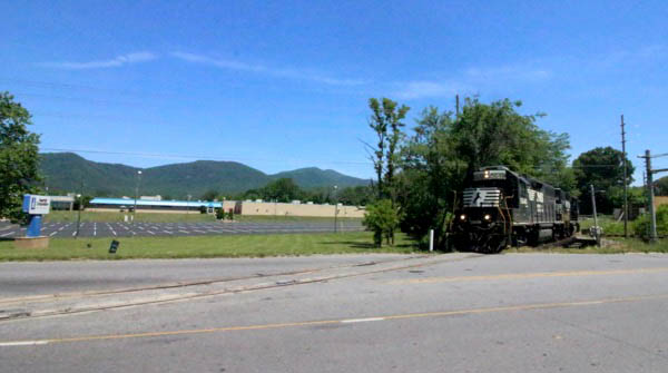
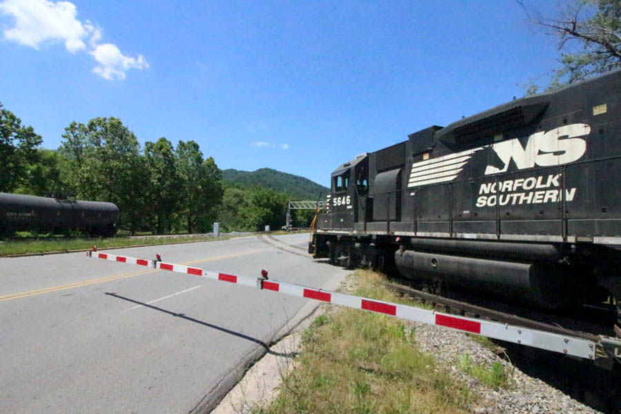
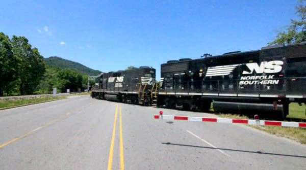
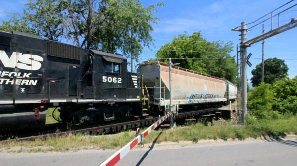
June 15, 2021 — Caught a NS local just west of Black Mountain, railroad "Grovestone," switching back and forth over US 70 crossing. Various tanks swapped out at Kearfott Corporation. Brakeman on rear confirms no more through trains, only irregular locals. Pair of GP38-2s up front; second unit rebuilt with new cab.
Grovestone, NC / Jun 2021 / RWH
Grovestone, NC / Jun 2021 / RWH
Click to see the US Highway 70 crossing plotted on a Google Maps page
Grovestone, NC / Jun 2021 / RWH
Grovestone, NC / Jun 2021 / RWH
Grovestone, NC / Jun 2021 / RWH
Grovestone, NC / Jun 2021 / RWH
Grovestone, NC / Jun 2021 / RWH
Grovestone, NC / Jun 2021 / RWH
Grovestone, NC / Jun 2021 / RWH
Grovestone, NC / Jun 2021 / RWH
Grovestone, NC / Jun 2021 / RWH
Grovestone, NC / Jun 2021 / RWH
Grovestone, NC / Jun 2021 / RWH
Grovestone, NC / Jun 2021 / RWH
Grovestone, NC / Jun 2021 / RWH
Grovestone, NC / Jun 2021 / RWH
Grovestone, NC / Jun 2021 / RWH
Grovestone, NC / Jun 2021 / RWH
Grovestone, NC / Jun 2021 / RWH
Grovestone, NC / Jun 2021 / RWH
Grovestone, NC / Jun 2021 / RWH
Grovestone, NC / Jun 2021 / RWH
Grovestone, NC / Jun 2021 / RWH
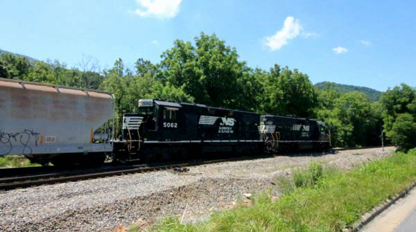
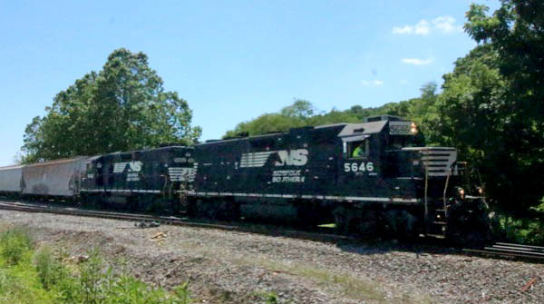
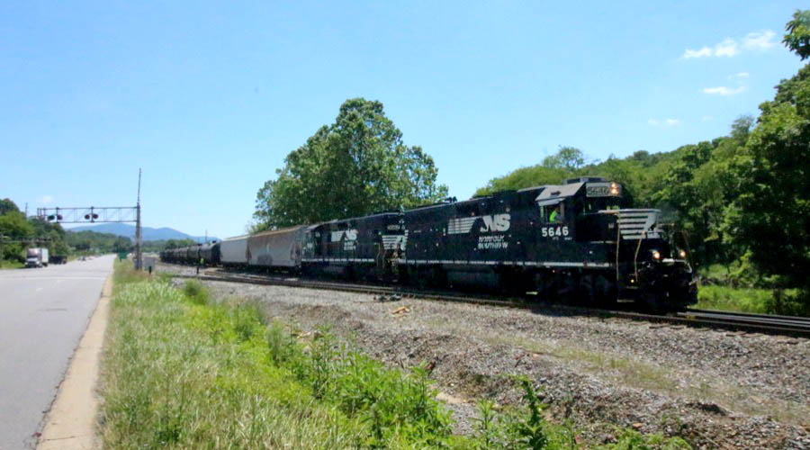
Swannanoa
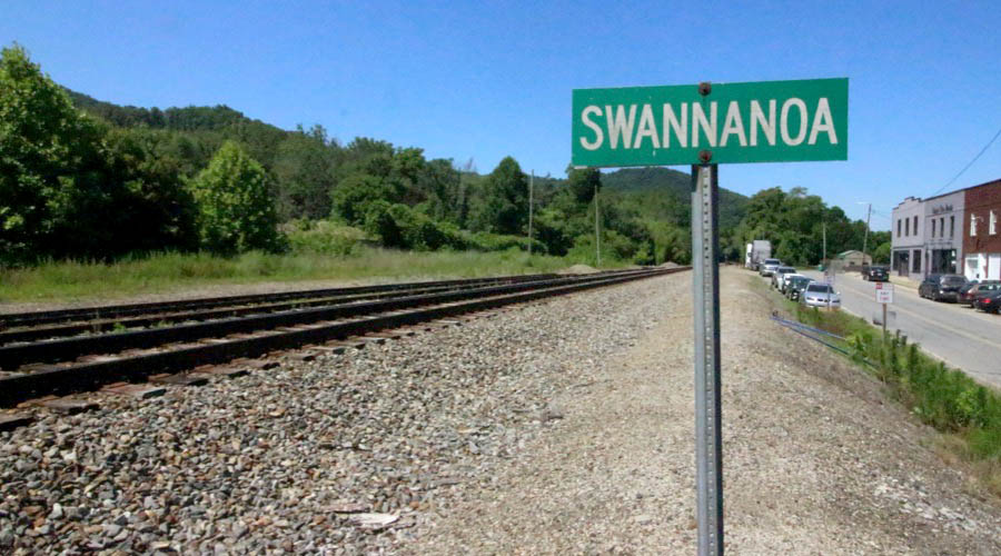
Swannanoa, NC / Jun 2021 / RWH
Jun 2021 / RWH
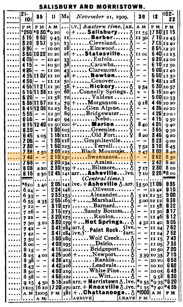
1910 Official Guide ad / collection
Swannanoa, NC / Jun 2021 / RWH
Swannanoa, NC / Jun 2021 / RWH
Click to see the town of Swannanoa plotted on a Google Maps page
Swannanoa, NC / Jun 2021 / RWH
Swannanoa, NC / Jun 2021 / RWH
Swannanoa, NC / Jun 2021 / RWH
Jun 2021 / RWH
Jun 2021 / RWH
Asheville
1910 Official Guide ad / collection
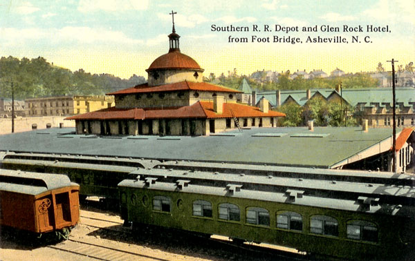
postcard / collection
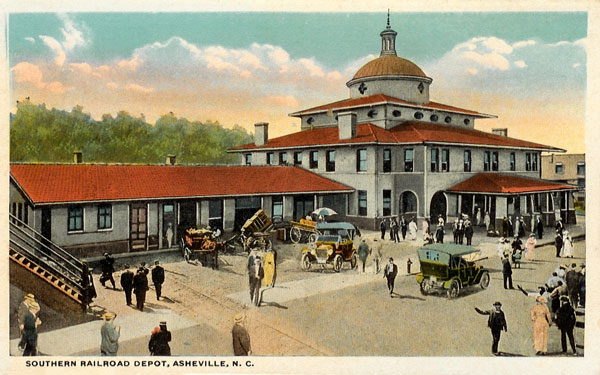
postcard / collection
 Lagniappe
Summer Report Card
Old Fort, NC / Jun 2021 / RWH
No More Depot Deliveries
Old Fort, NC / Jun 2021 / RWH
Picture Perfect Postcard
Old Fort, NC / Jun 2021 / RWH
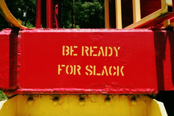
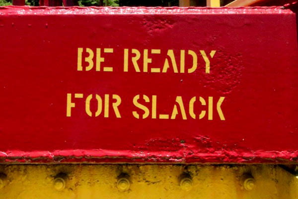
Slackers Beware
Old Fort, NC / Jun 2021 / RWH
Landing Zone
Old Fort, NC / Jun 2021 / RWH
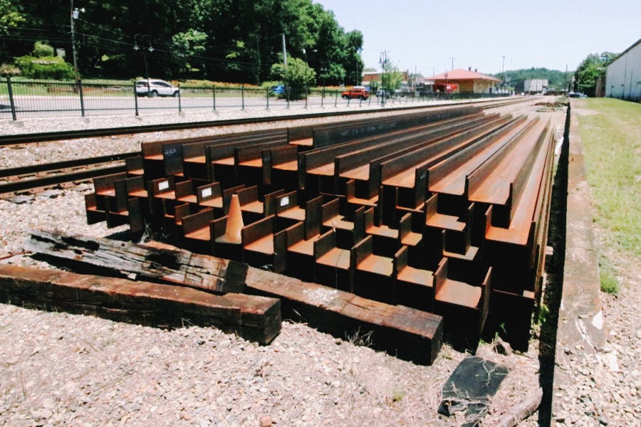
All Stacked Against You
Old Fort, NC / Jun 2021 / RWH
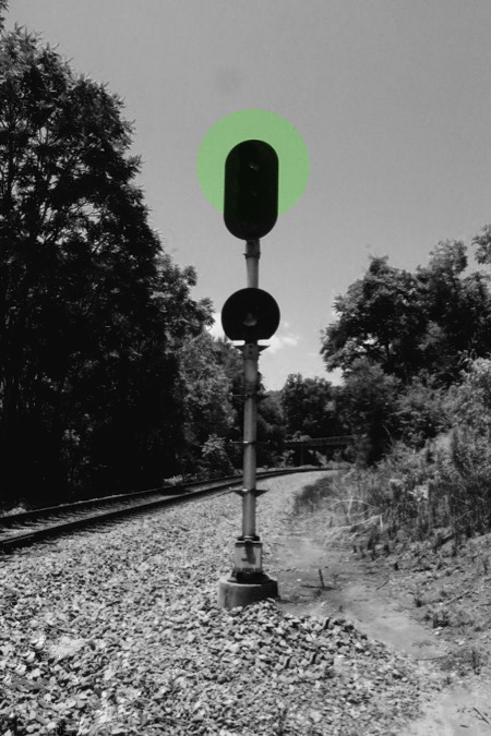
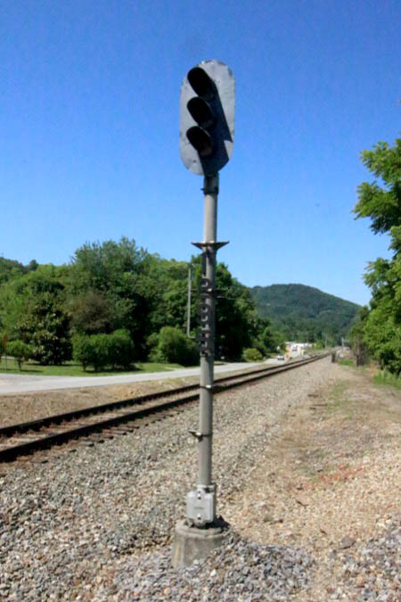
Give Us the Go Ahead
Old Fort, NC / Jun 2021 / RWH
Geyser Glory
Old Fort, NC / Jun 2021 / RWH
The Land of the Sky
Old Fort, NC / Jun 2021 / RWH
 Snapshots
Old Fort, NC / Jun 2021 / RWH
Ridgecrest, NC / Jun 2021 / RWH
Links / Sources
- Town of Old Fort, North Carolina
- Carolina Country Old Fort Museum review
- Wikipedia article for Old Fort, North Carolina