

 Chattahoochee Valley Railroad Trail
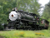
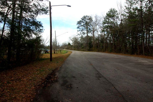
Fairfax, Al / Feb 2021 / RWH
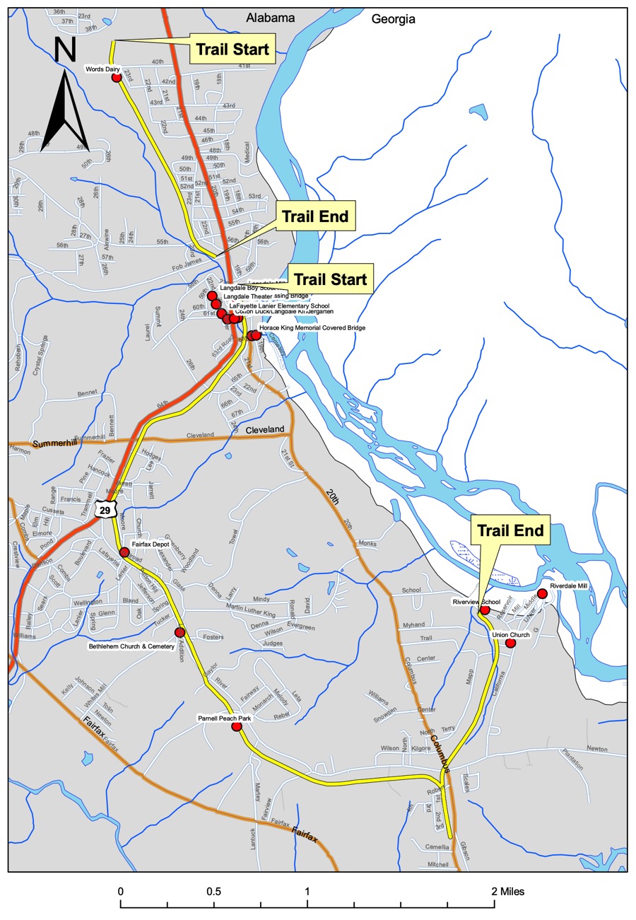
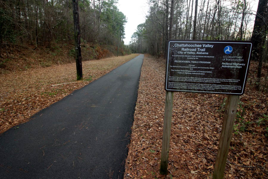
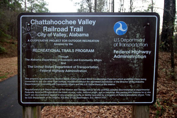
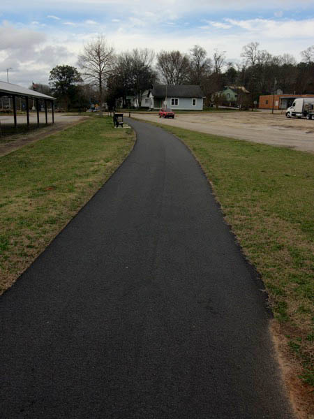
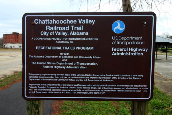
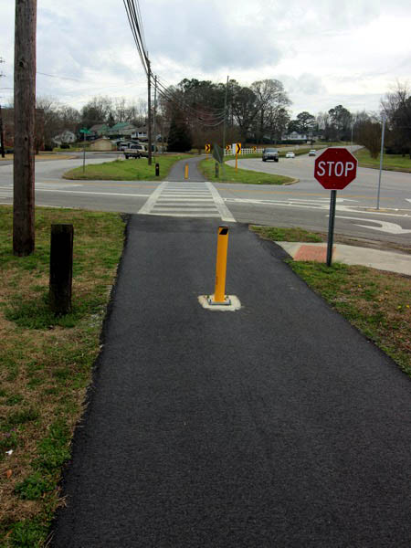
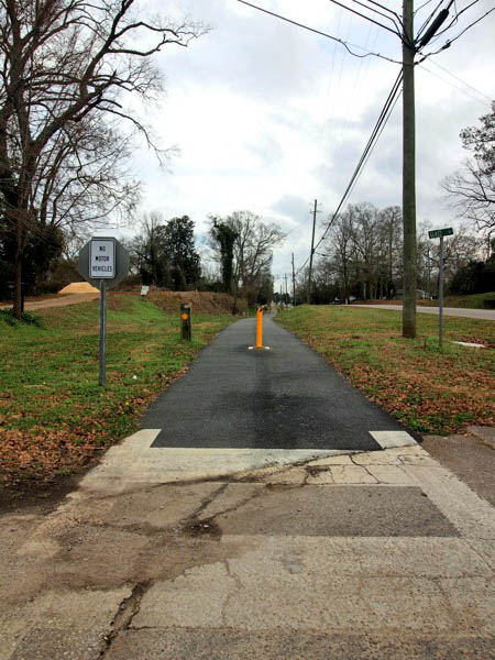
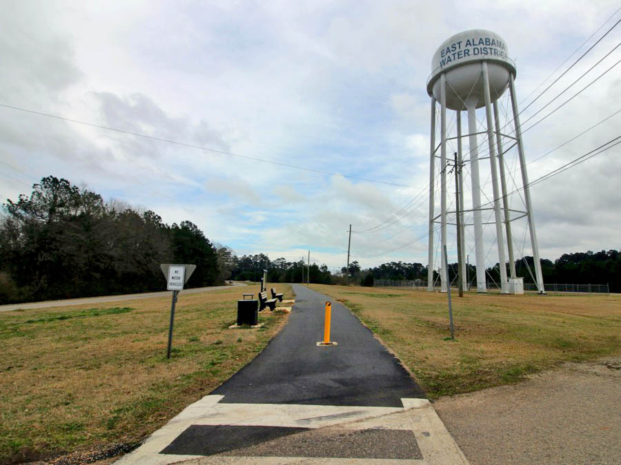
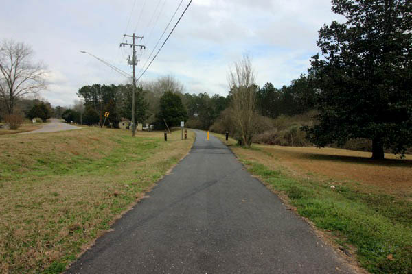
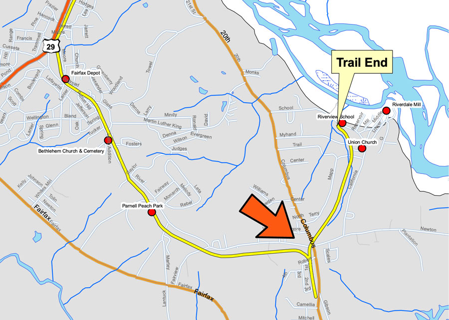
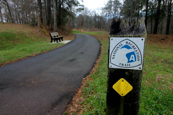
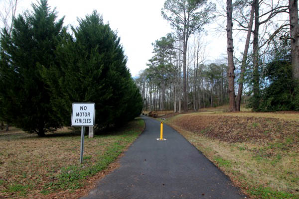
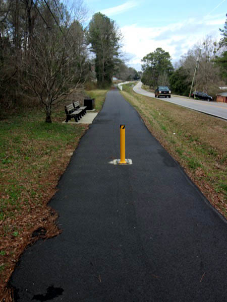
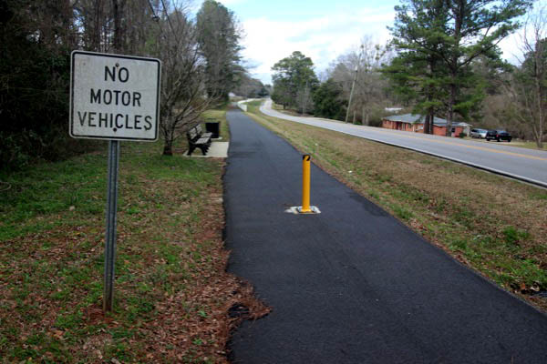
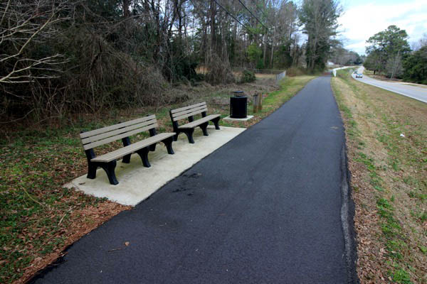
 The Chattahoochee Valley Railroad Trail is a 7.5 mile walking/biking/running path made from the railbed of the former shortline Chattahoochee Valley Railroad. The trail winds through the 4 textile mill villages that make up Valley, Alabama — Shawmut, Langdale, Fairfax , and River View. Informational signage notes the numerous historical properties found along the trail including mills, a covered bridge, a historic school, and the Fairfax depot. The Chattahoochee River is just minutes from the trail. The shortline ceased operations in 1992, work began on the trail in 1998, and the pathway was opened in 2000. The trail begins at 22nd Avenue in the Shawmut community.

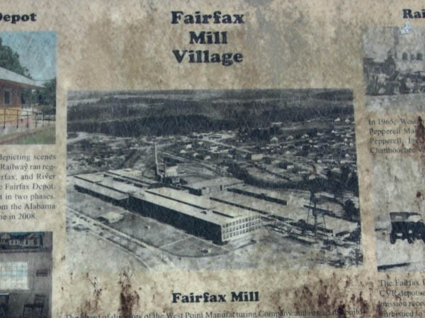
On Alabama's eastern border, nestled amid gentle hills that overlook the mighty Chattahoochee River, is a cluster of four small textile mill towns—Shawmut, Langdale, Fairfax, and Riverview—all on the National Registry of Historic Places. In 1980 these villages incorporated as the city of Valley, a community of nearly 10,000 residents. The Chattahoochee Valley Railroad served the region for nearly 100 years, carrying passengers, cotton, cloth, and supplies. But the trains stopped running in 1992, and in 2000 this corridor became a rail-trail that winds past the communities and historical sites.

CVRT route map / TrailLink
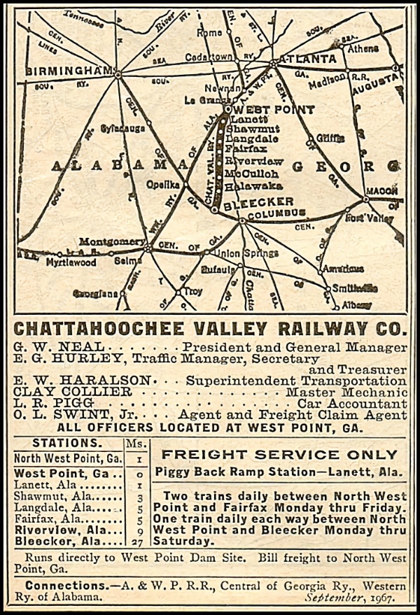
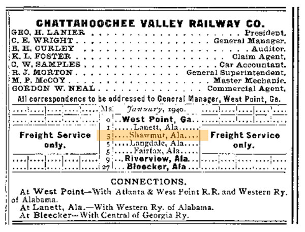
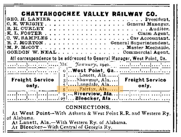
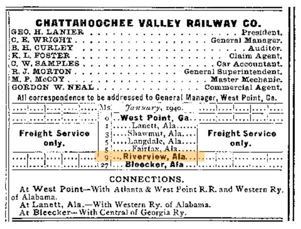
CHV 1967 timetable / collection
CVRT route map / Wikipedia resource
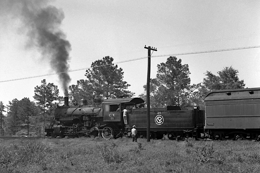
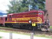
Lanett, Al / Apr 1961 / JCH

See also our complete Chattahoochee Valley Railroad scrapbook in Shortlines
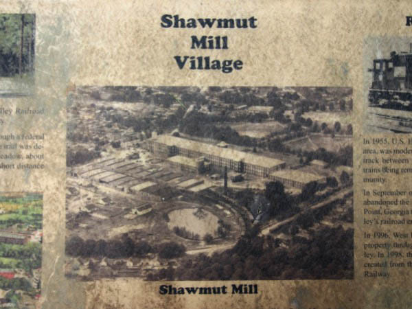
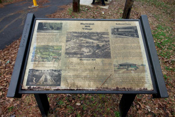
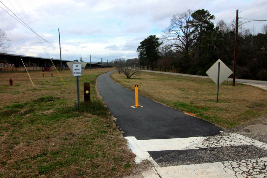
 Shawmut
1940 Official Guide ad / collection
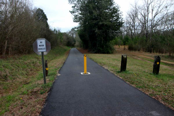
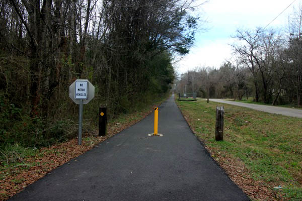
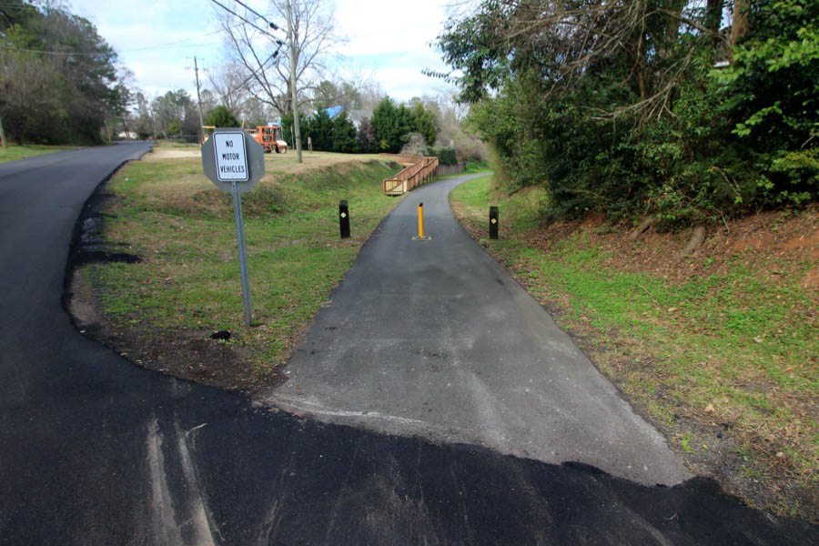
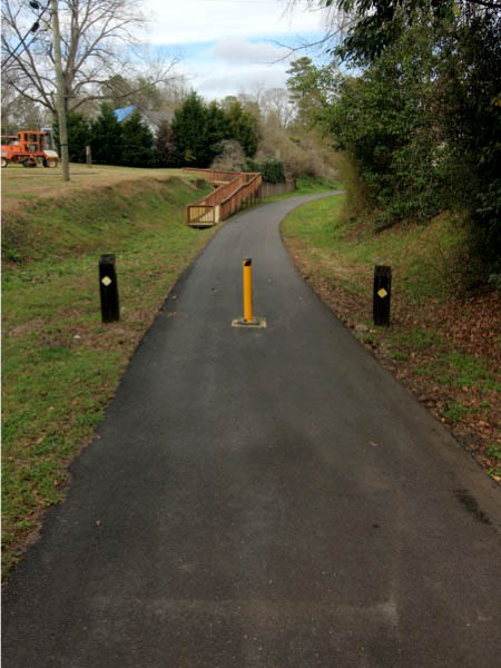
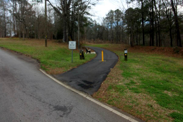
Shawmut, Al / Feb 2021 / RWH
Shawmut, Al / Feb 2021 / RWH
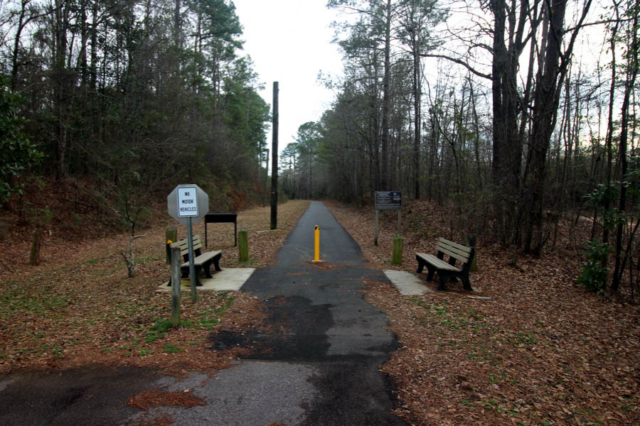
Click to see the Chattahoochee Valley Railroad trailhead plotted on a Google Maps page
Shawmut, Al / Feb 2021 / RWH
Shawmut, Al / Feb 2021 / RWH
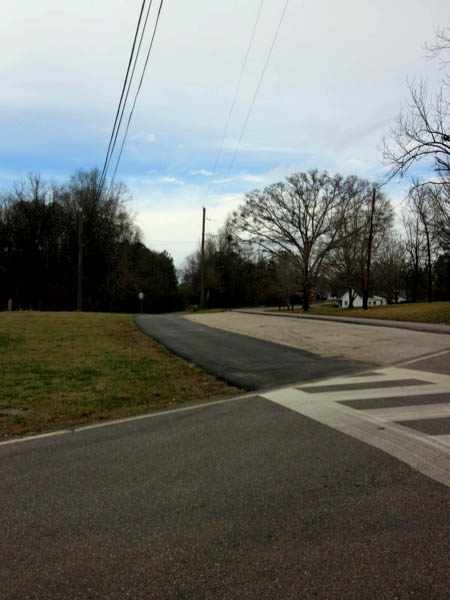
Feb 2021 / RWH
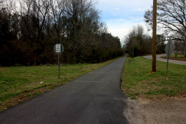
Shawmut, Al / Feb 2021 / RWH
Shawmut, Al / Feb 2021 / RWH
Eady City
Eady City, Al / Feb 2021 / RWH
Eady City, Al / Feb 2021 / RWH
Click to see this location plotted on a Google Maps page
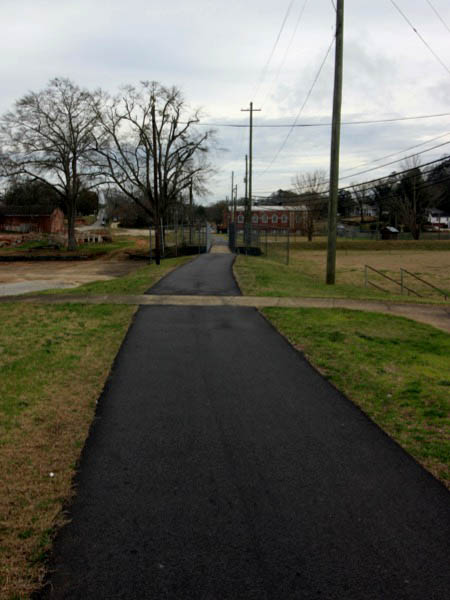
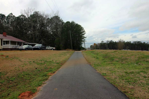
Lagndale

1940 Official Guide ad / collection
Langdale, Al / Feb 2021 / RWH
Langdale, Al / Feb 2021 / RWH
Langdale, Al / Feb 2021 / RWH
Click to see this location plotted on a Google Maps page
Langdale, Al / Feb 2021 / RWH
Langdale, Al / Feb 2021 / RWH
Langdale, Al / Feb 2021 / RWH
Langdale, Al / Feb 2021 / RWH
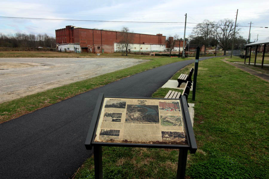
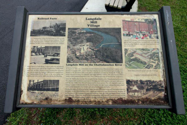
Langdale Mill Village
Langdale, Al / Feb 2021 / RWH
Click to see the Langdale Mill Village area plotted on a Google Maps page
Feb 2021 / RWH
Feb 2021 / RWH
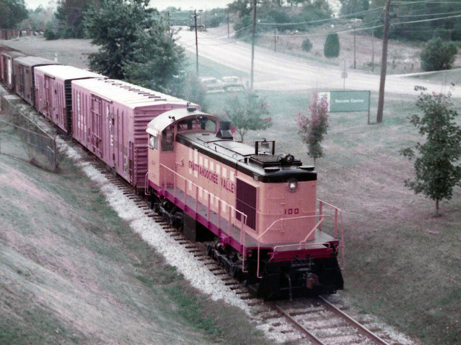
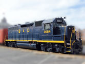
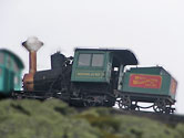
Langdale, Al / 1983 / Hank Stephens collection
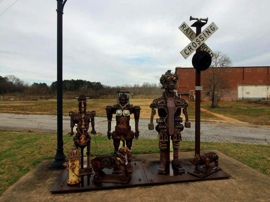
 Village People
Langdale, Al / Feb 2021 / RWH
Feb 2020 / RWH
Feb 2021 / RWH
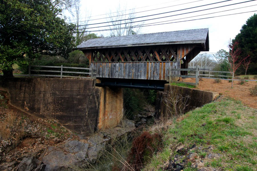
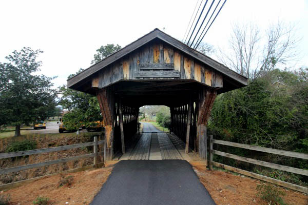
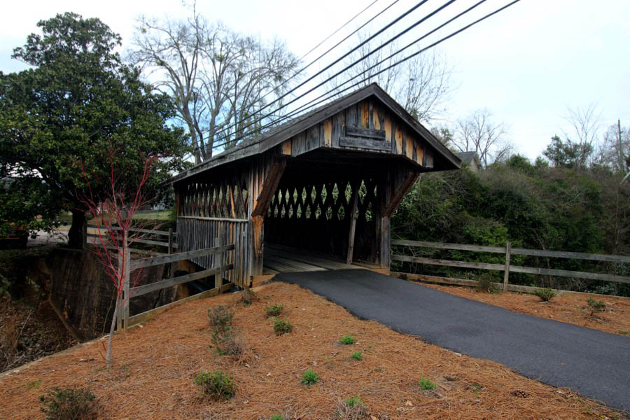
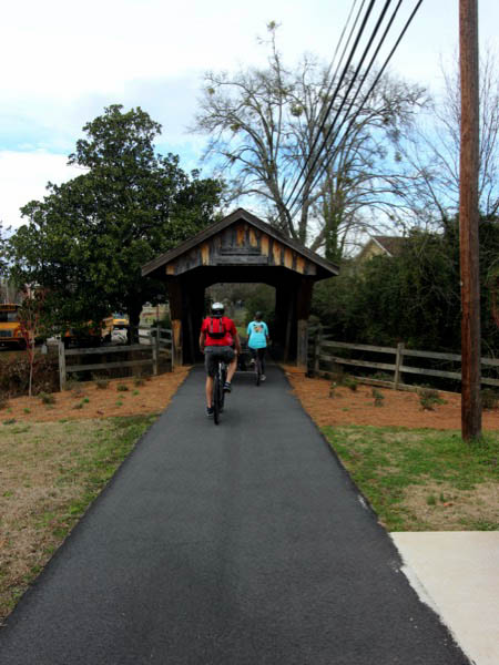
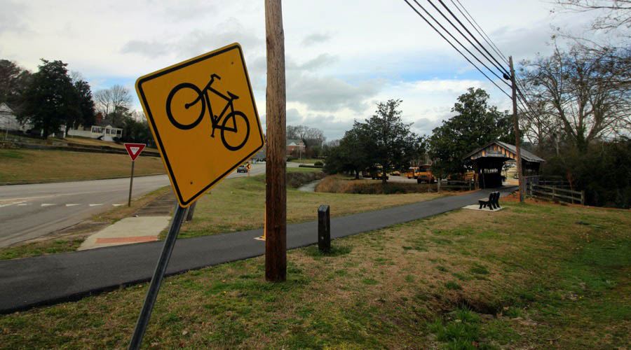
Moores Creek Covered Bridge
Langdale, Al / Feb 2021 / RWH
Click to see the Moores Creek bridge plotted on a Google Maps page
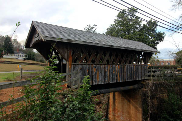
Langdale, Al / Feb 2021 / RWH
Langdale, Al / Feb 2021 / RWH
Langdale, Al / Feb 2021 / RWH
Langdale, Al / Feb 2021 / RWH
Langdale, Al / Feb 2021 / RWH
Langdale, Al / Feb 2021 / RWH
Valley, Al / Feb 2021 / RWH
Valley, Al / Feb 2021 / RWH
Valley, Al / Feb 2021 / RWH
Valley, Al / Feb 2021 / RWH
Valley, Al / Feb 2021 / RWH
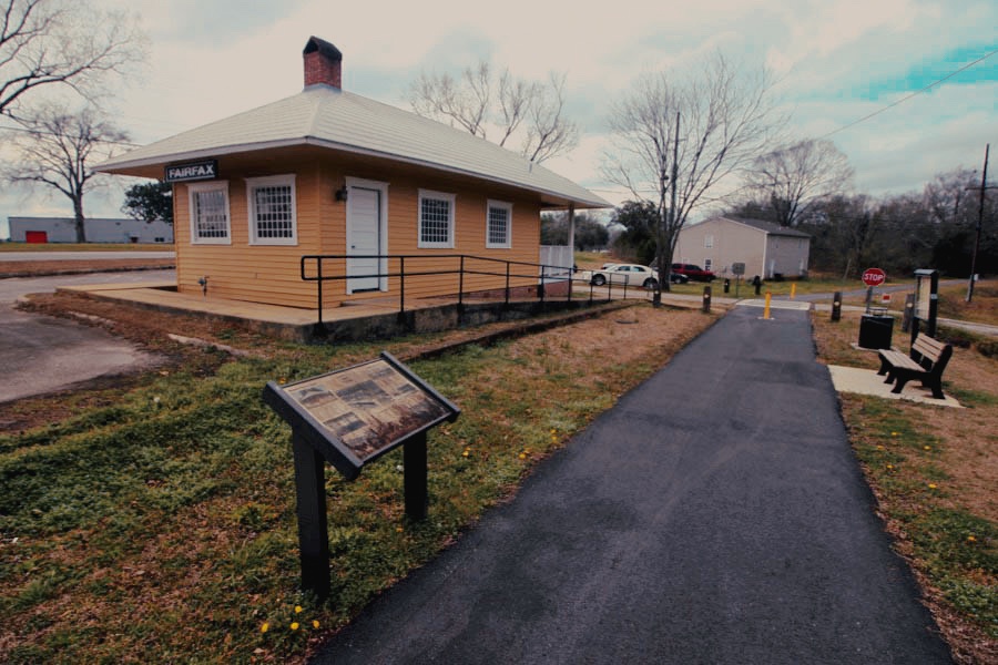
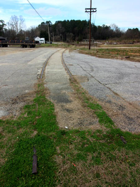
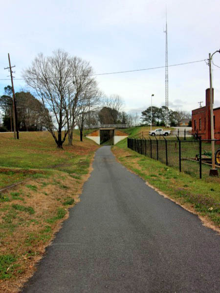
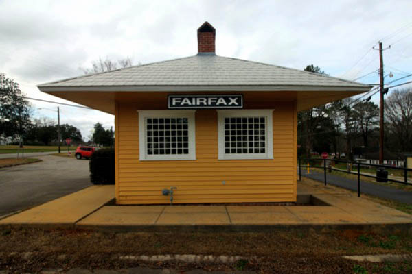
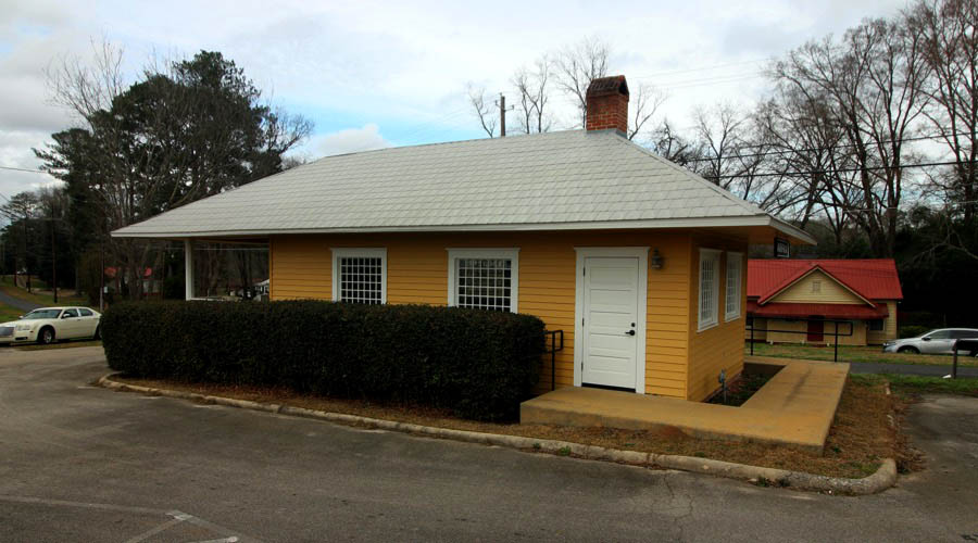
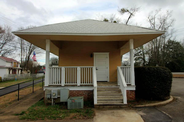
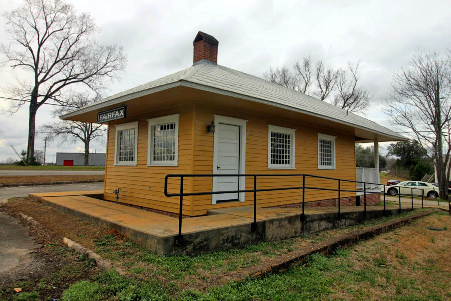
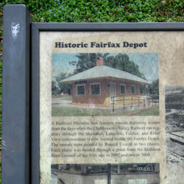
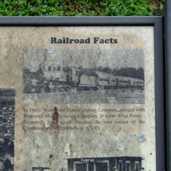
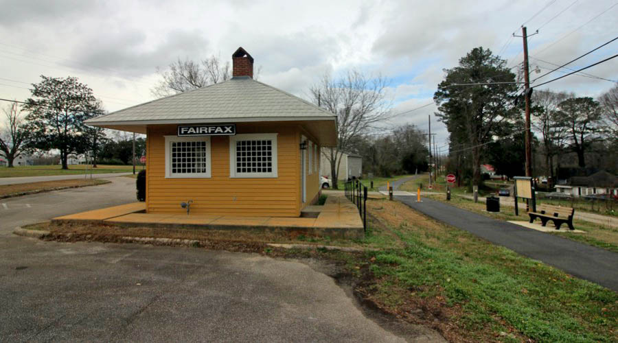
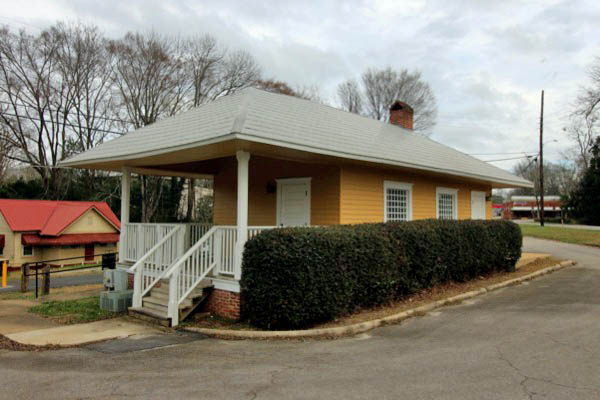
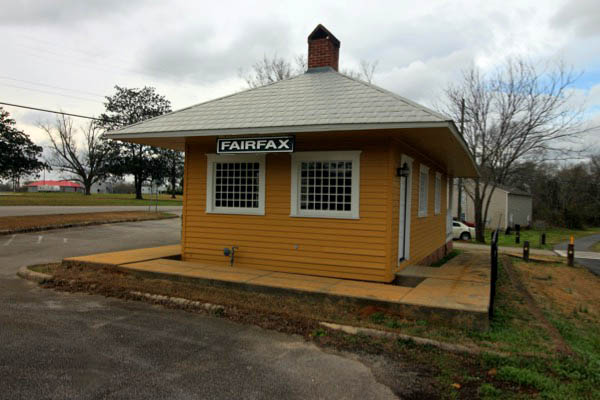
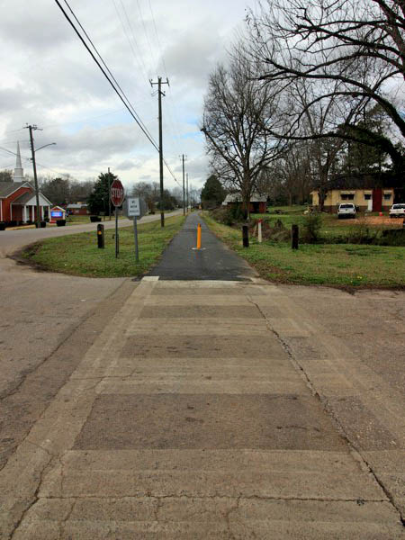
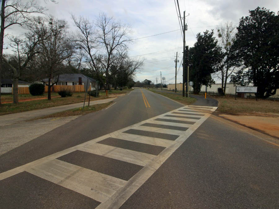
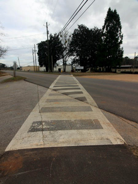
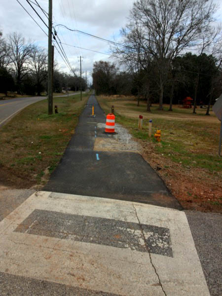
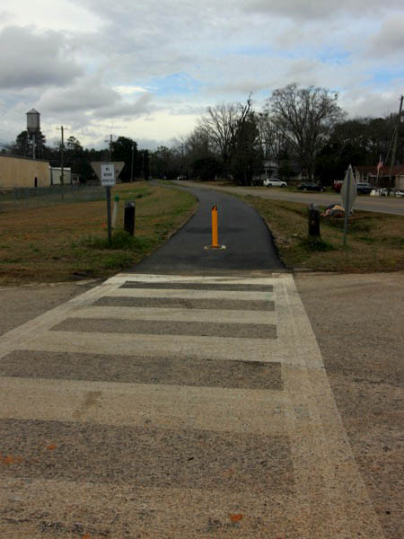
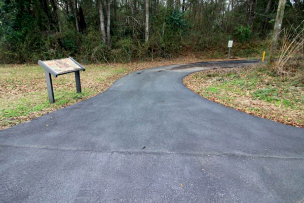
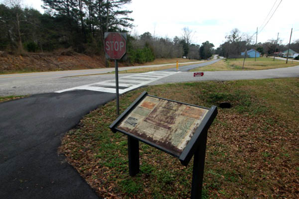
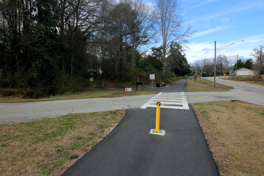
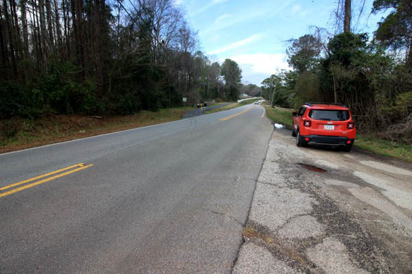
Fairfax
1940 Official Guide ad / collection
Feb 2021 / RWH
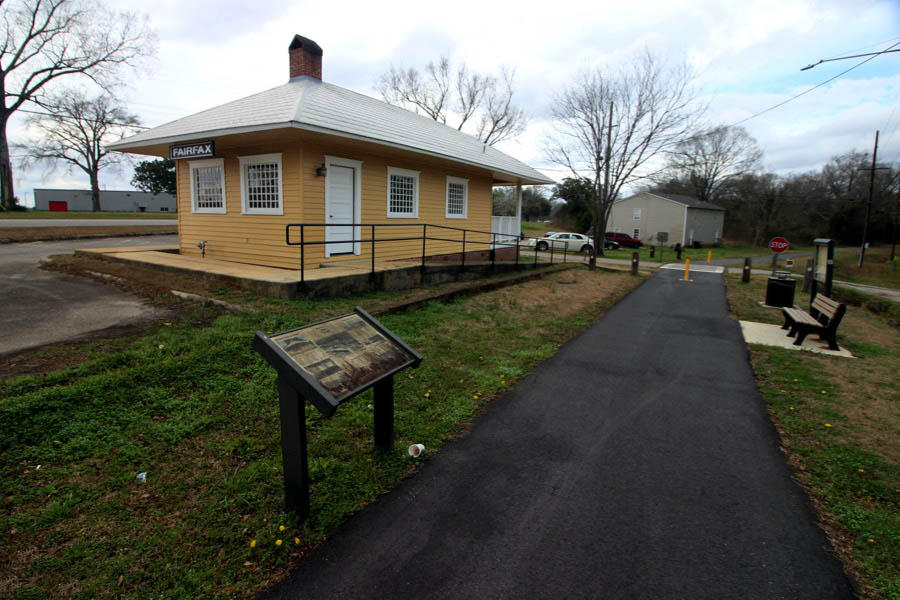
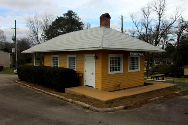
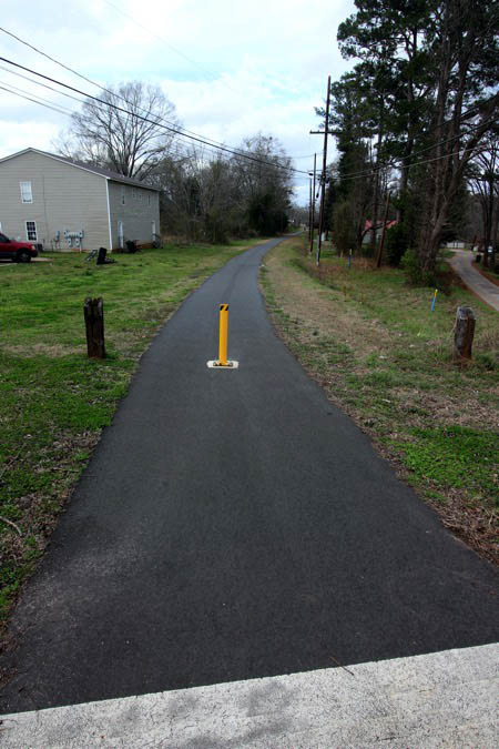
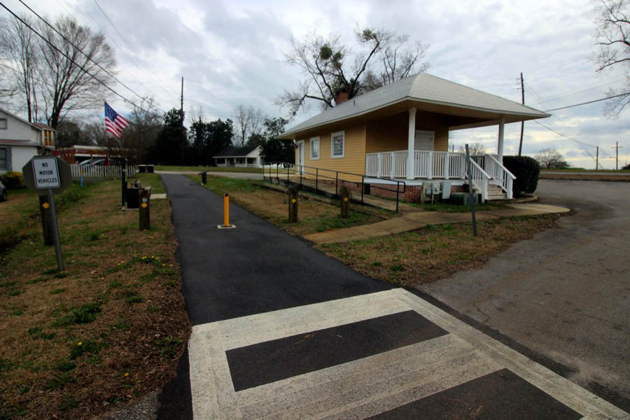
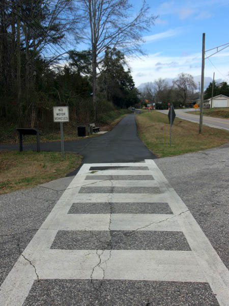
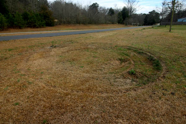
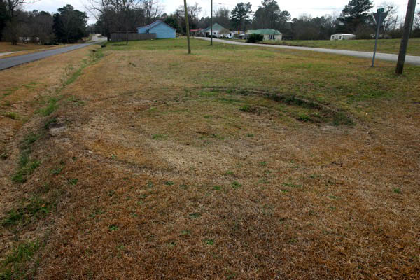
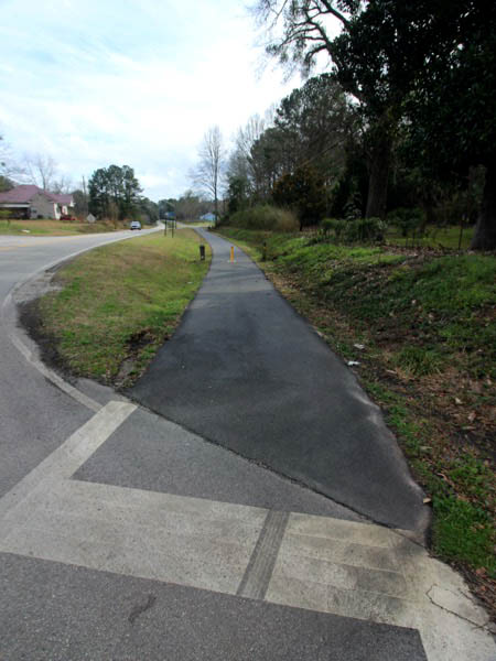
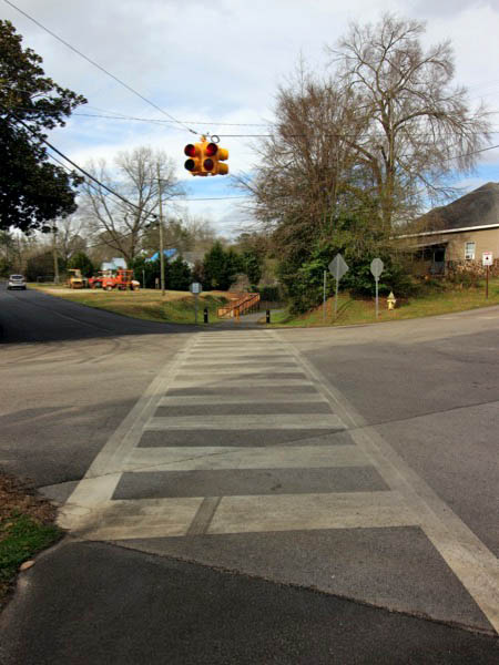
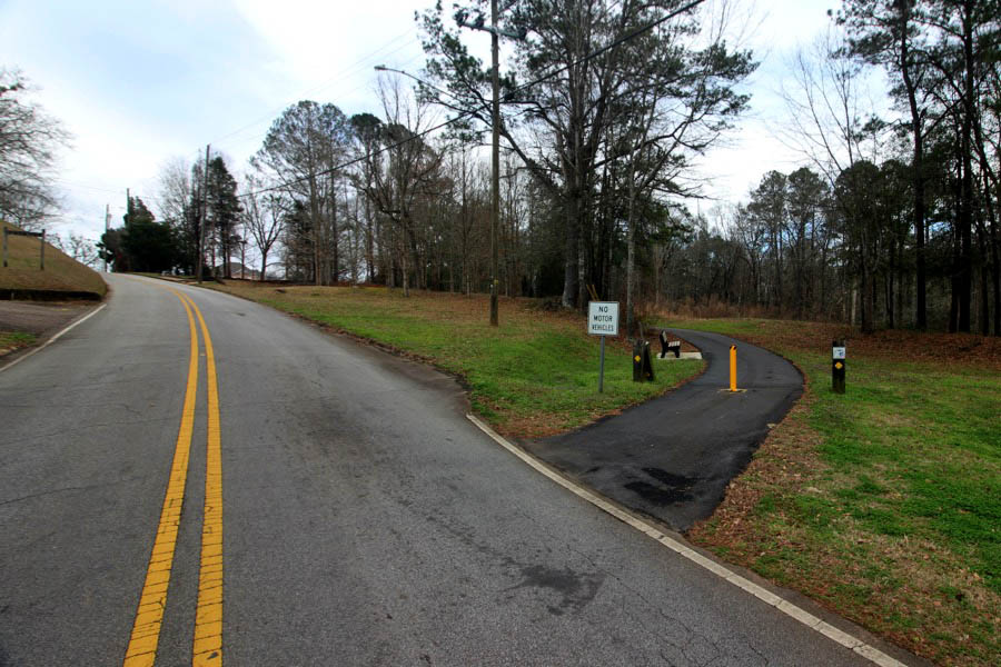
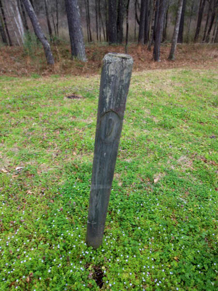
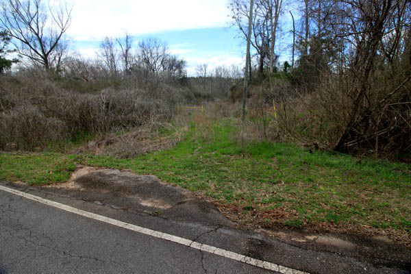
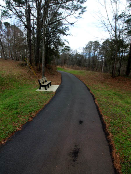
Fairfax, Al / Feb 2021 / RWH
Click to see the Fairfax depot plotted on a Google Maps page
Fairfax, Al / Feb 2021 / RWH
Fairfax, Al / Feb 2021 / RWH
Fairfax, Al / Feb 2021 / RWH

Feb 2021 / RWH
Fairfax, Al / Feb 2021 / RWH
Fairfax, Al / Feb 2021 / RWH
Feb 2021 / RWH
Fairfax, Al / Feb 2021 / RWH
Feb 2021 / RWH
Feb 2021 / RWH
Fairfax, Al / Feb 2021 / RWH
Fairfax, Al / Feb 2021 / RWH
Fairfax, Al / Feb 2021 / RWH
Fairfax, Al / Feb 2021 / RWH
Fairfax, Al / Feb 2021 / RWH
Glass
Glass, Al / Feb 2021 / RWH
Feb 2021 / RWH
Click to see this location plotted on a Google Maps page
Glass, Al / Feb 2021 / RWH
Glass, Al / Feb 2021 / RWH
Glass, Al / Feb 2021 / RWH
Glass, Al / Feb 2021 / RWH
Glass, Al / Feb 2021 / RWH
Glass, Al / Feb 2021 / RWH
McGinty
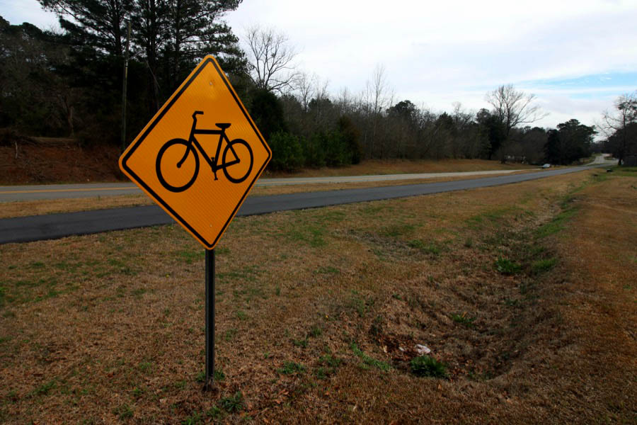
At the village of McGinty, Alabama, a spur on the Chattahoochee Valley Railroad left the mainline to serve the riverside village of River View and its mills. Likewise, the Chattahoochee Valley Railroad Trail splits at McGinty, offering a path to the River View community and its industrial remains.
McGinty, Al / Feb 2021 / RWH
McGinty, Al / Feb 2021 / RWH
McGinty, Al / Feb 2021 / RWH
Click to see the McGinty junction area plotted on a Google Maps page
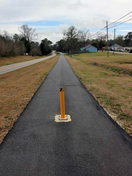
McGinty, Al / Feb 2021 / RWH
McGinty, Al / Feb 2021 / RWH
McGinty, Al / Feb 2021 / RWH
McGinty location map / RWH
McGinty, Al / Feb 2021 / RWH
McGinty, Al / Feb 2021 / RWH
McGinty, Al / Feb 2021 / RWH
Feb 2021 / RWH
McGinty, Al / Feb 2021 / RWH
McGinty, Al / Feb 2021 / RWH
McGinty, Al / Feb 2021 / RWH
McGinty, Al / Feb 2021 / RWH
Click to see the Columbus Road crossing plotted on a Google Maps page
McGinty, Al / Feb 2021 / RWH
Feb 2021 / RWH
River View
1940 Official Guide ad / collection
River View, Al / Feb 2021 / RWH
River View, Al / Feb 2021 / RWH
Click to see the Schoot Street trailhead area plotted on a Google Maps page
River View, Al / Feb 2021 / RWH
River View, Al / Feb 2021 / RWH
River View, Al / Feb 2021 / RWH
River View, Al / Feb 2021 / RWH
River View, Al / Feb 2021 / RWH
River View, Al / Feb 2021 / RWH
River View, Al / Feb 2021 / RWH
River View, Al / Feb 2021 / RWH
Osanippa
Osanippa, Al / Feb 2021 / RWH
Osanippa, Al / Feb 2021 / RWH
Osanippa, Al / Feb 2021 / RWH
Click to see the Columbus Road trailhead plotted on a Google Maps page
Osanippa, Al / Feb 2021 / RWH
Osanippa, Al / Feb 2021 / RWH
Links / Sources
- American Trails page for Chattahoochee Valley Railroad Trail
- Wikipedia article for Chattahoochee Valley Railroad Trail
- Wikipedia article for Valley, Alabama